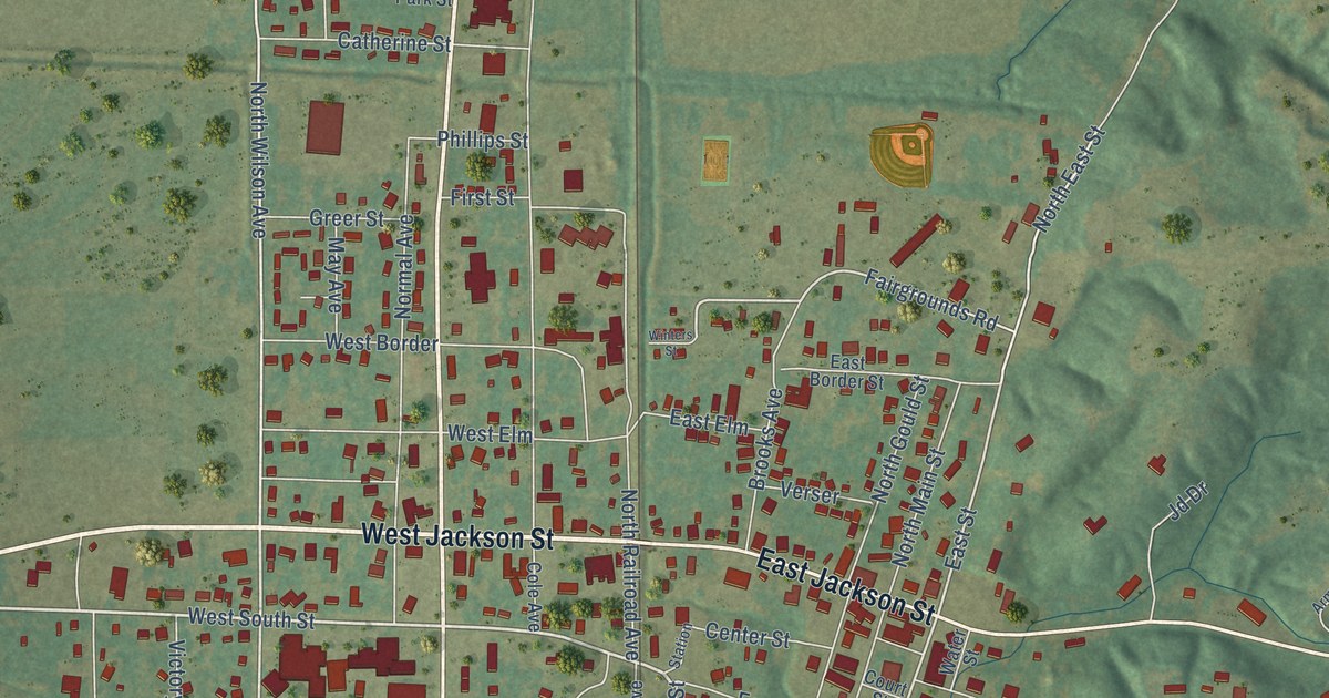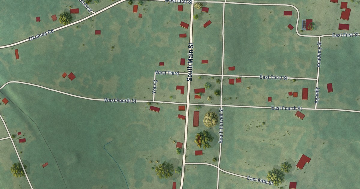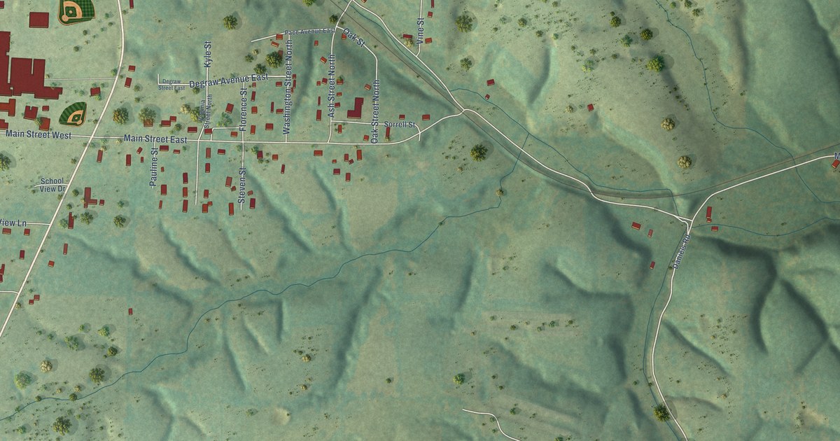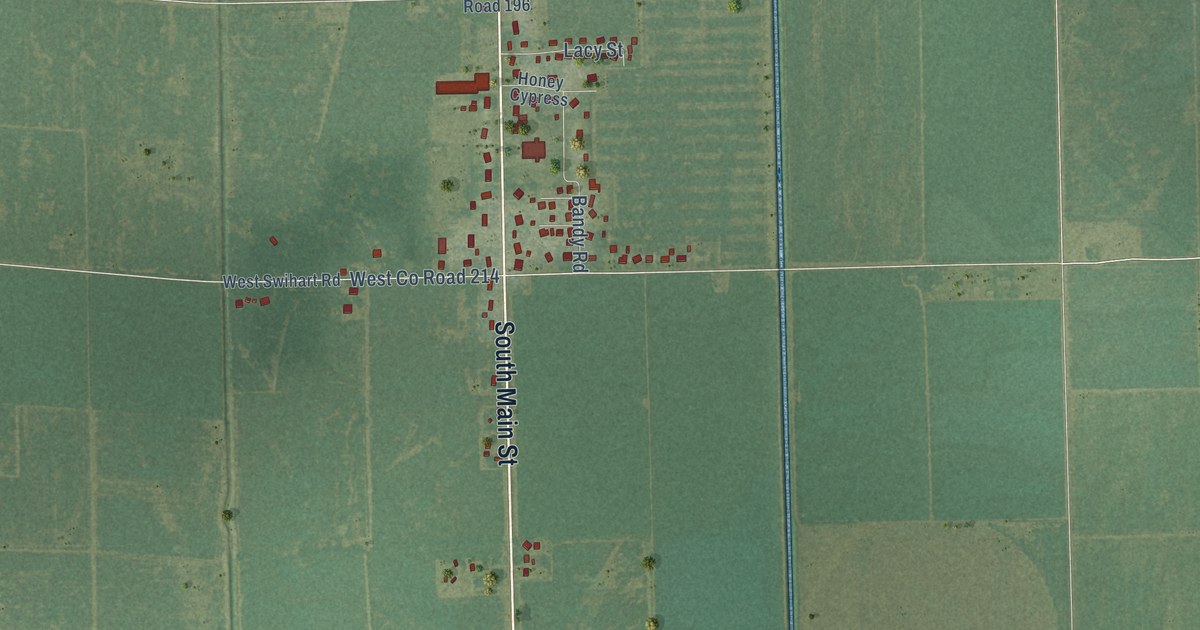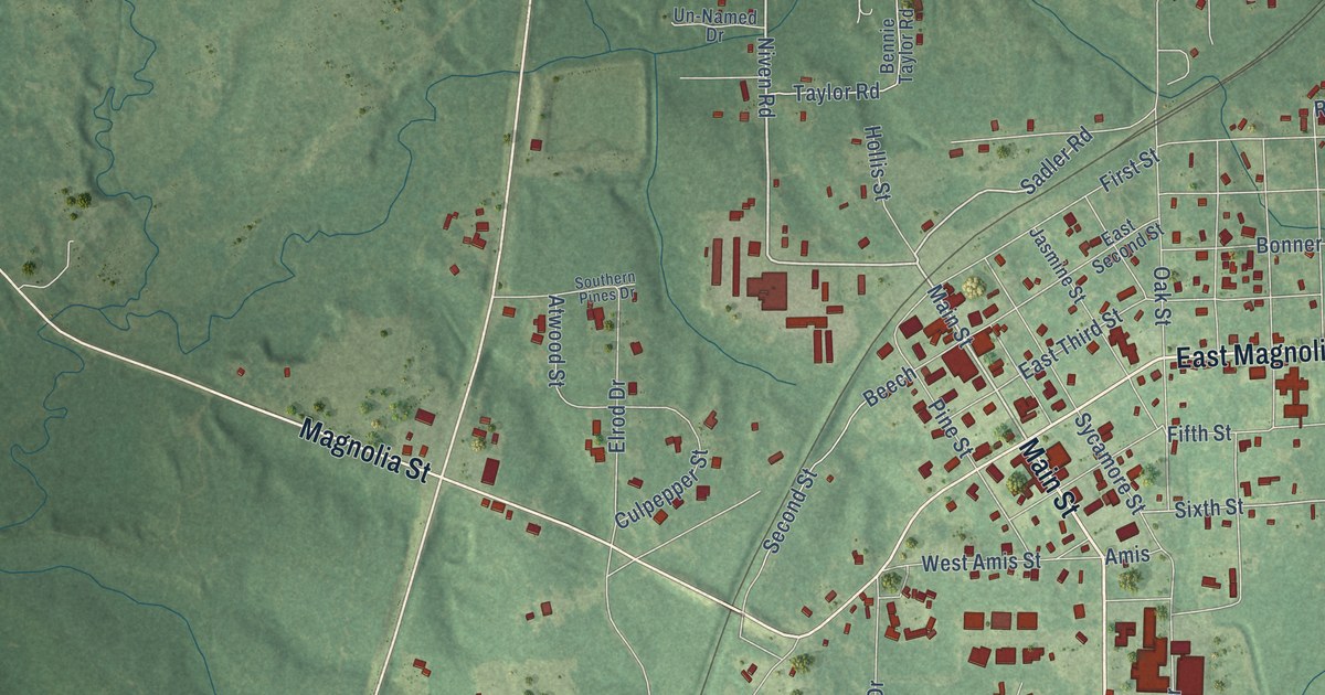
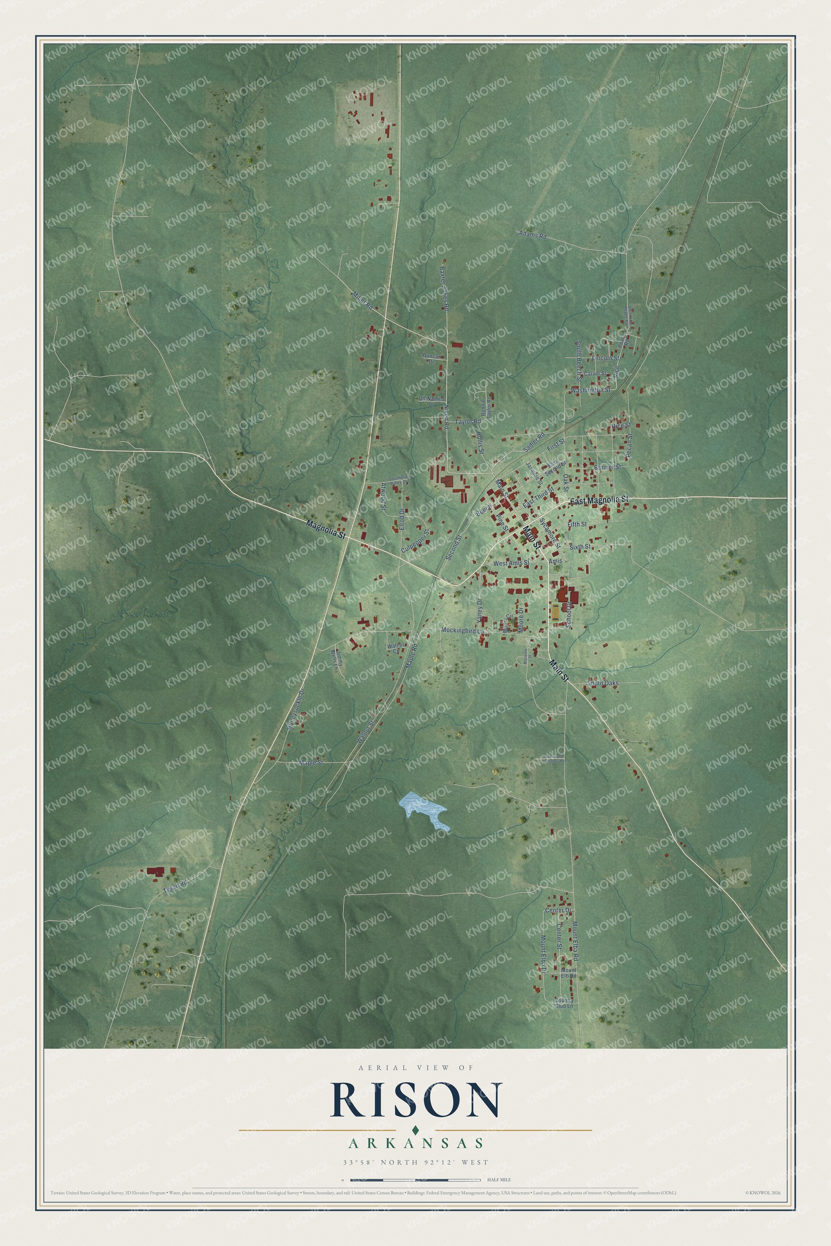
This beautifully detailed map of Rison, Arkansas was created in 2026 using aerial imagery combined with modern topographical, census, street and landmark data. It's a modern aerial view of Rison in Cleveland County, Arkansas, that combines modern data with a vintage aesthetic. The roads feature printed names, and if you look closely you can find your exact house accurately shown in its correct location.
Explore an aerial view of Rison, Arkansas
On this map you'll find Main Street, East Magnolia Street, Magnolia Street, Niven Road, Sadler Road, Miller Road, Taylor Road, Center Drive, Mount Elba Drive, Washington Street, Sixth Street, Pecan Street, and more. Each red shape is a building, so zoom in on the preview and look for yours.
Every town has a first chapter, and Rison is no exception. The Encyclopedia of Arkansas puts it this way: "Fordyce named the growing community in honor of William Richard Rison, his former partner in a banking venture in Alabama, who had fought on the opposite side of the Civil War from Fordyce."
Rison is a city in Cleveland County.
Take a closer look at the Rison map
Names on this map
These names are printed on this map.
Streets and roads: Main Street, East Magnolia Street, Magnolia Street, Niven Road, Sadler Road, Miller Road, Taylor Road, Center Drive, Mount Elba Drive, Washington Street, Sixth Street, Pecan Street.
More street names, A to Z
Adams Road, Amis, Atwood Street, Baxter Jones Road, Beech, Bennie Taylor Road, Bonner Street, Carver Street, Center Street, Country Club Lane, Culpepper Street, Duncan Drive, East Second Street, East Third Street, Elrod Drive, Fifth Street, First Street, Greenwood Cemetary Road, Hollis Street, Honeysuckle Drive, Jasmine Street, Jimmy Wells Lane, Lincoln Street, Maple Road, Maple Street, Mitchelle Street, Mockingbird Lane, Moore Circle, Moore Drive, Mount Elba Road, Mount Elb Road, Oak Street, Peace Road, Pine Street, Rice, Rice Street, School Drive, Second Street, South Beech Street, Southern Pines Drive, South Oaks, Sycamore Street, Tyson Road, Un-Named Drive, Unionville Peace Road, Walnut Circle, Walnut Street, West Amis Street, Yaney Drive.
Created by KNOWOL in 2026. The buildings are small red shapes, the roads carry their printed names, and shaded relief shows the shape of the land. The title panel reads "AERIAL VIEW OF RISON ARKANSAS" with 33°58' NORTH 92°12' WEST.
Hang it in the hallway, the office or the cabin, or give it to someone who left Rison and still calls it home. Open the preview and look for a street you know. See sizes and frames for the Rison map.