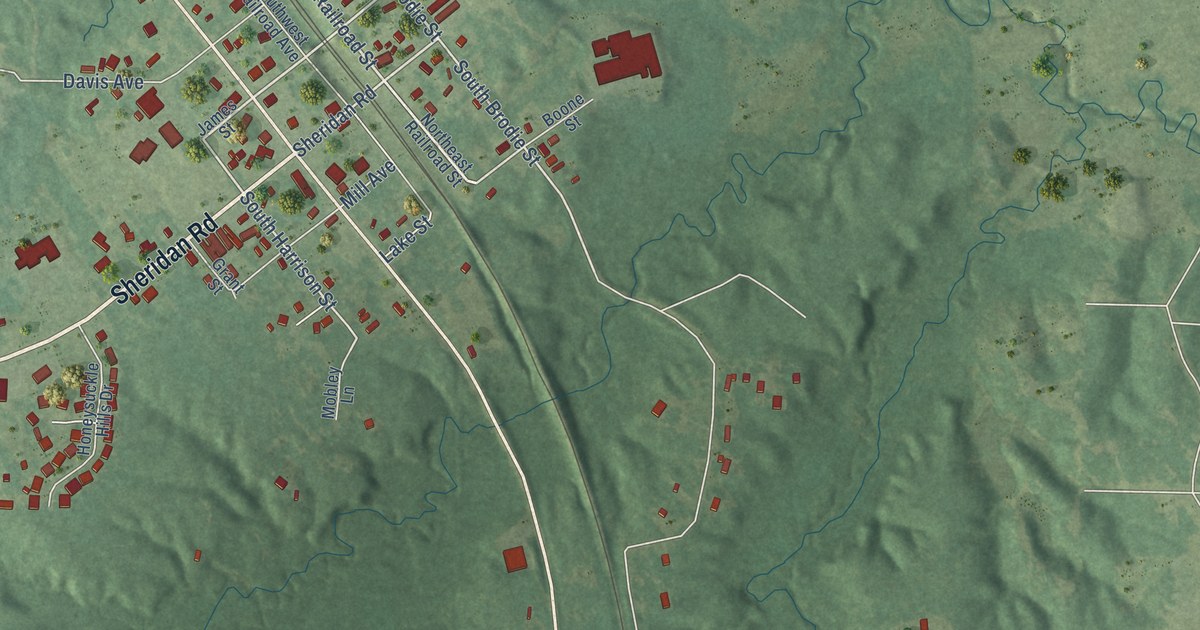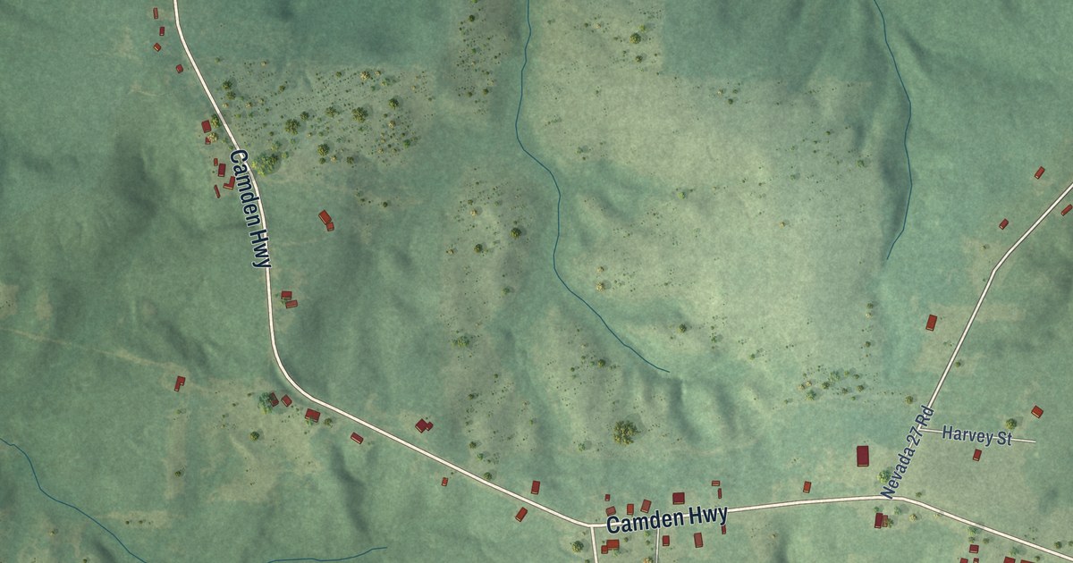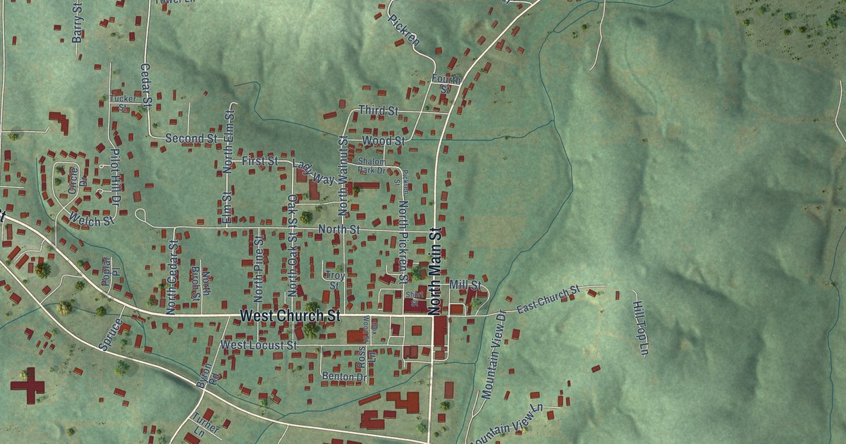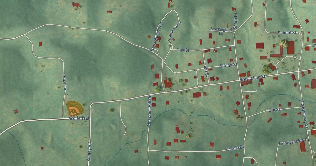
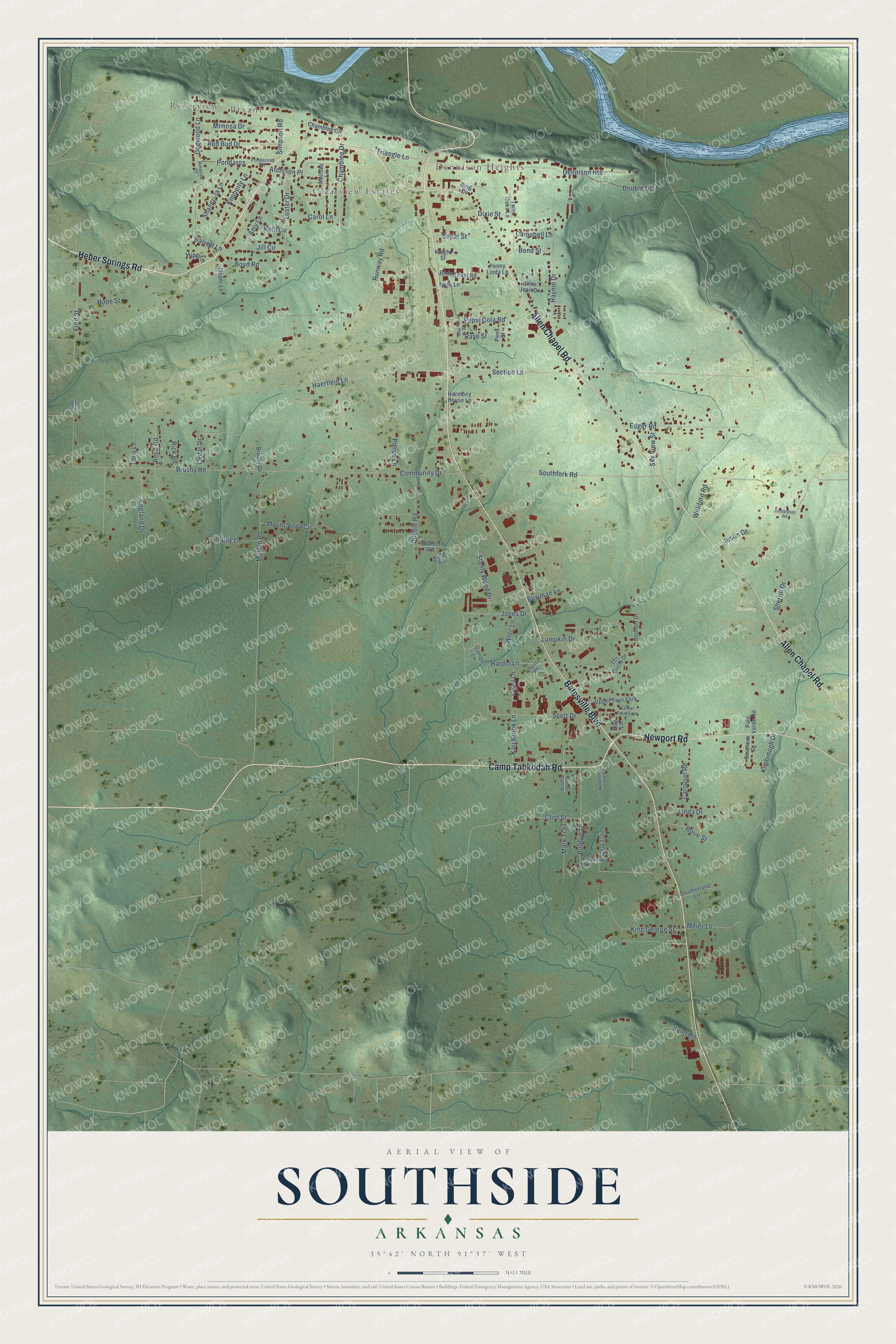
This beautifully detailed map of Southside, Arkansas was created in 2026 using aerial imagery combined with modern topographical, census, street and landmark data. It's a modern aerial view of Southside in Independence County, Arkansas, that combines modern data with a vintage aesthetic. The roads feature printed names, and if you look closely you can find your exact house accurately shown in its correct location.
Explore an aerial view of Southside, Arkansas
On this map you'll find Riverview, Bryant, Clearview Estates, Dennison Heights, Egner Cemetery, Heber Springs Road, Camp Tahkodah Road, Batesville Boulevard, Allen Chapel Road, Newport Road, Haynie Drive, Dogwood Lane, and more. Each red shape is a building, so zoom in on the preview and look for yours.
Here is a piece of Southside history, in the words of the record. The Encyclopedia of Arkansas puts it this way: "Around the beginning of the twentieth century, T. J. Walbert started the Walbert Oil Company to drill for oil at Oil City, later renamed Southside."
Southside is a city in Independence County.
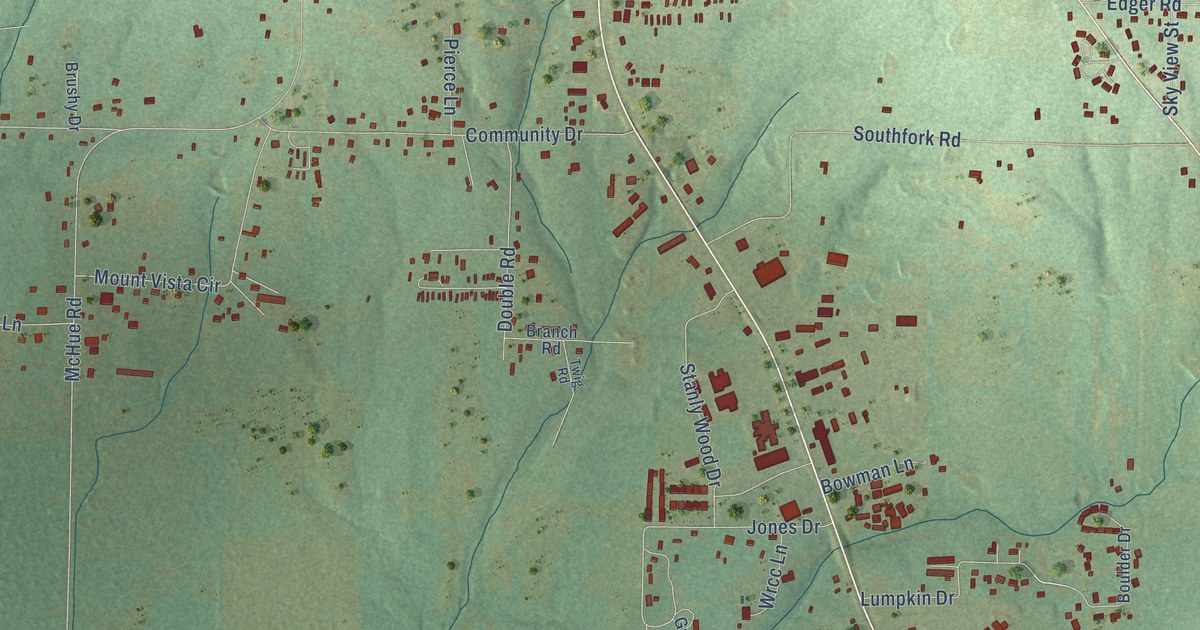
Take a closer look at the Southside map
Names on this map
These names are printed on this map.
Places: Riverview, Bryant, Clearview Estates, Dennison Heights and Egner Cemetery.
Streets and roads: Heber Springs Road, Camp Tahkodah Road, Batesville Boulevard, Allen Chapel Road, Newport Road, Haynie Drive, Dogwood Lane, Lumpkin Drive, Chamblee Drive, Section Lane, Triangle Lane, McHue Road.
More street names, A to Z
Amanda Drive, Amy Lane, Angela Trail, Atchison Place, Barrett Lane, Billie Jean Drive, Bobbye Lane, Bond Street, Boulder Drive, Bowman Lane, Boyd Road, Branch Road, Brushy Drive, Brushy Road, Campbell Lane, Carol Lane, Carousel Road, Cedar Drive, Chamblee Circle, Clint Street, Community Drive, Dixie Street, Double Drive, Double Road, Edger Road, England Drive, Evans Road, Flag Lane, Fred Street, Garrett Lane, Haertlein Lane, Hardin Lane, Harmony House Lane, Hipp Lane, Hope Street, Jasper Lane, Jill Circle, Jones Drive, Justin Drive, Kari Brook Lane, Kelli Cv, Kimberly Lane, Kimbrough Drive, King George Street, Knight Street, Kyler Road, Linda Drive, Lower Twin Fork, Luster Drive, Mark Trail, Meier Lane, Melissa Lane, Mimosa Drive, Mount Vista Circle, Muffler Street, Page Lane, Palo Verde Road, Penn Street, Penny Linda Lane, Pepsi Cola Road, Pierce Lane, Pondaros, Ponderosa Drive, Quail Lane, Raye Street, Red Bud Drive, Reed Road, Richardson Road, Rick Road, Ring Cv, Rising Fast Road, Rorie Street, Runway Road, Scott Drive, Shangri-la Lane, Sherrill Drive, Simpson Road, Sky View Street, Southerland Lane, Southern Drive, Southfork Road, South Gem Street, Stanly Wood Drive, Sugar Street, T&j Circle Drive, Tanya Trail, Tony Lane, Trophy Lane, Twig Road, Twin Oaks Lane, Upper Twin Fork, Wade Street, Williford Road, Wrcc Lane.
Created by KNOWOL in 2026. The buildings are small red shapes, the roads carry their printed names, and shaded relief shows the shape of the land. The title panel reads "AERIAL VIEW OF SOUTHSIDE ARKANSAS" with 35°42' NORTH 91°37' WEST.
It suits a den, a classroom or a front hall, and it makes a gift for anyone with Southside roots. Open the preview and find the block you know. See sizes and frames for the Southside map.