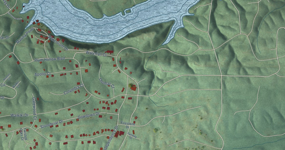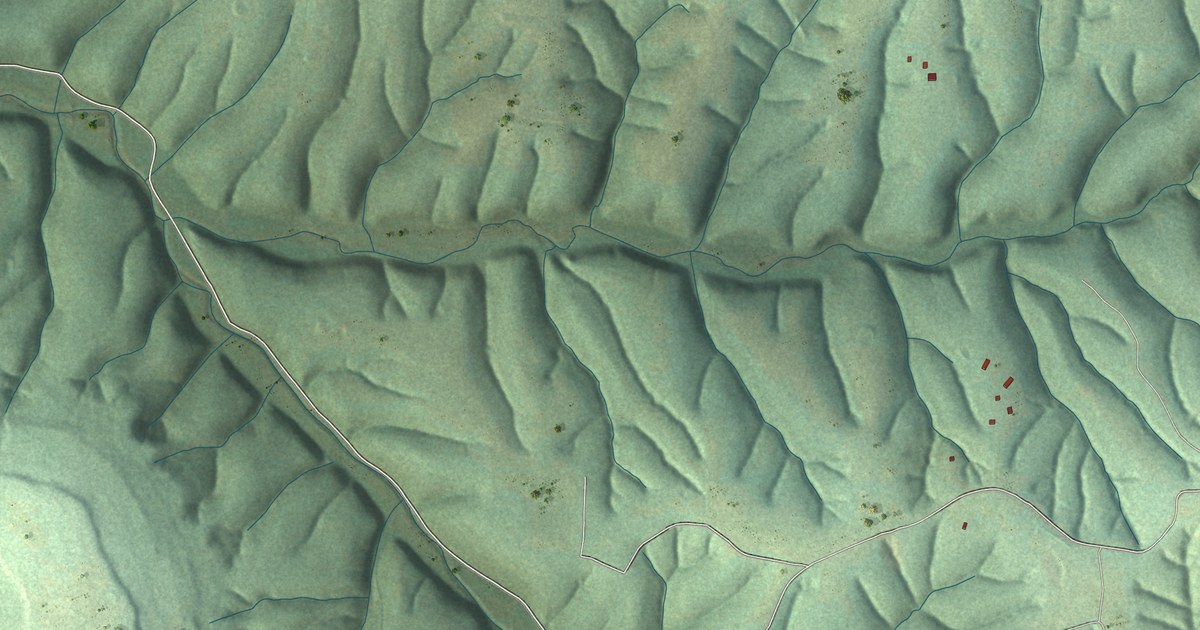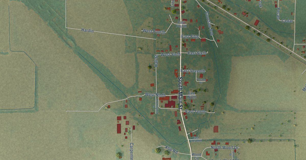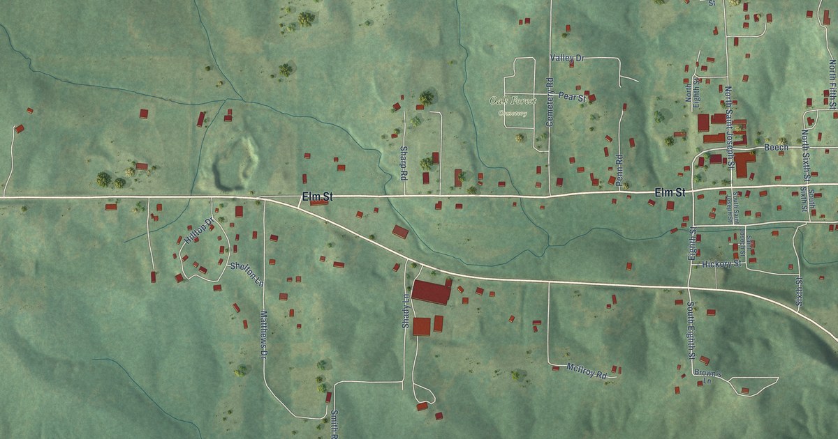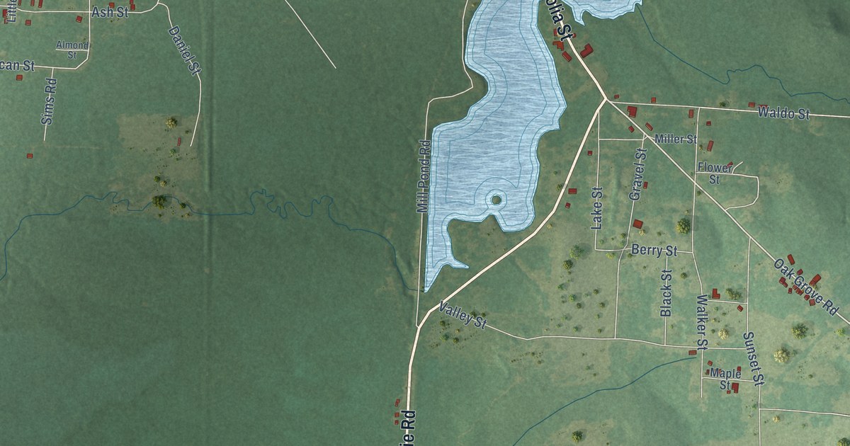
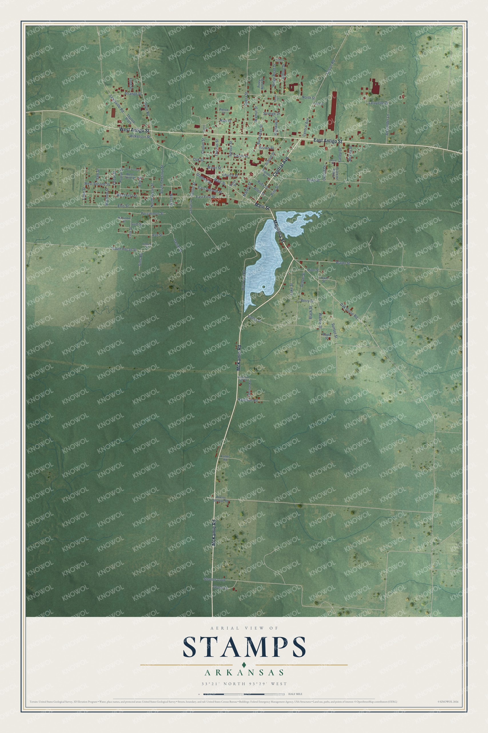
This beautifully detailed map of Stamps, Arkansas was created in 2026 using aerial imagery combined with modern topographical, census, street and landmark data. It's a modern aerial view of Stamps in Lafayette County, Arkansas, that combines modern data with a vintage aesthetic. The roads feature printed names, and if you look closely you can find your exact house accurately shown in its correct location.
Explore an aerial view of Stamps, Arkansas
On this map you'll find Magnolia Street, Main Street, McKamie Road, East Antigo Street, West Antigo Street, Central Avenue, Oak Grove Road, Conlin Street, Hope Road, School Street, Conlan Street, Spruce Street, and more. Each red shape is a building, so zoom in on the preview and look for yours.
Here is a piece of Stamps history, in the words of the record. The Encyclopedia of Arkansas puts it this way: "Hardy James Stamps came to Lafayette County from Georgia in 1880 to operate the Bodcaw lumber mill. When a post office was established at the settlement surrounding the mill in 1888, it was named for Stamps; the first postmistress at that location was Ella Crowell, Stamps’s daughter."
Stamps is a city in Lafayette County.
Take a closer look at the Stamps map
Names on this map
These names are printed on this map.
Streets and roads: Magnolia Street, Main Street, McKamie Road, East Antigo Street, West Antigo Street, Central Avenue, Oak Grove Road, Conlin Street, Hope Road, School Street, Conlan Street, Spruce Street.
More street names, A to Z
Alexander Lane, Alford Street, Allen Street, Almond Street, Ash Street, Belmont Street, Berry Street, Black Street, Brown Street, Buchanan Street, Calvin Street, Cedar Drive, Cedar Street, Church Street, Conian Street, Conlon Street, Daniel Street, Doctor Strange Road, East First Street, East Second Street, Ellis Street, Elm Street, Falcon Road, Farley Drive, Ferguson Hill Road, Flower Street, Fred Street, Fuller Road, Garrett Street, Gladney Street, Gravel Street, Groce Lane, Gum Street, Hamilton Road, Ham Street, Harrison Street, Highway Street, Hilltop Drive, Johnson Road, Lafayette Drive, Lake Street, Lewisville Road, Little Street, Lowe Street, Maple Street, Market Street, McCoy Street, Miller Street, Mill Pond Road, Noel Street, North Pecan Street, North Street, Oak Street, Opera Street, Oxford Drive, Parson Street, Persimmon Street, Pierce Drive, Pine Street, Piney Wood Drive, Poplar Street, Ridge Road Drive, Ruby Street, Sims Road, Sioux Street, South Chestnut Street, South Pecan Street, Stevens Loop, Strange Drive, Strange Street, Sunset Street, Thomas Street, Thorold Black, Thula Street, Valley Street, Waldo Street, Walker Street, Walnut Street, Water Street, West First Street, West Fourth Street, West Second Street, West Street, West Third Street, Wilkerson Street, Worthen Street, Yellow Jacket Drive.
Created by KNOWOL in 2026. The buildings are small red shapes, the roads carry their printed names, and shaded relief shows the shape of the land. The title panel reads "AERIAL VIEW OF STAMPS ARKANSAS" with 33°21' NORTH 93°29' WEST.
It suits a den, a classroom or a front hall, and it makes a gift for anyone with Stamps roots. Open the preview and find the block you know. See sizes and frames for the Stamps map.