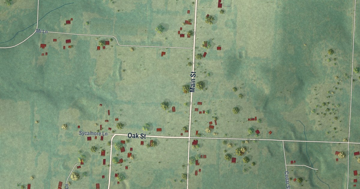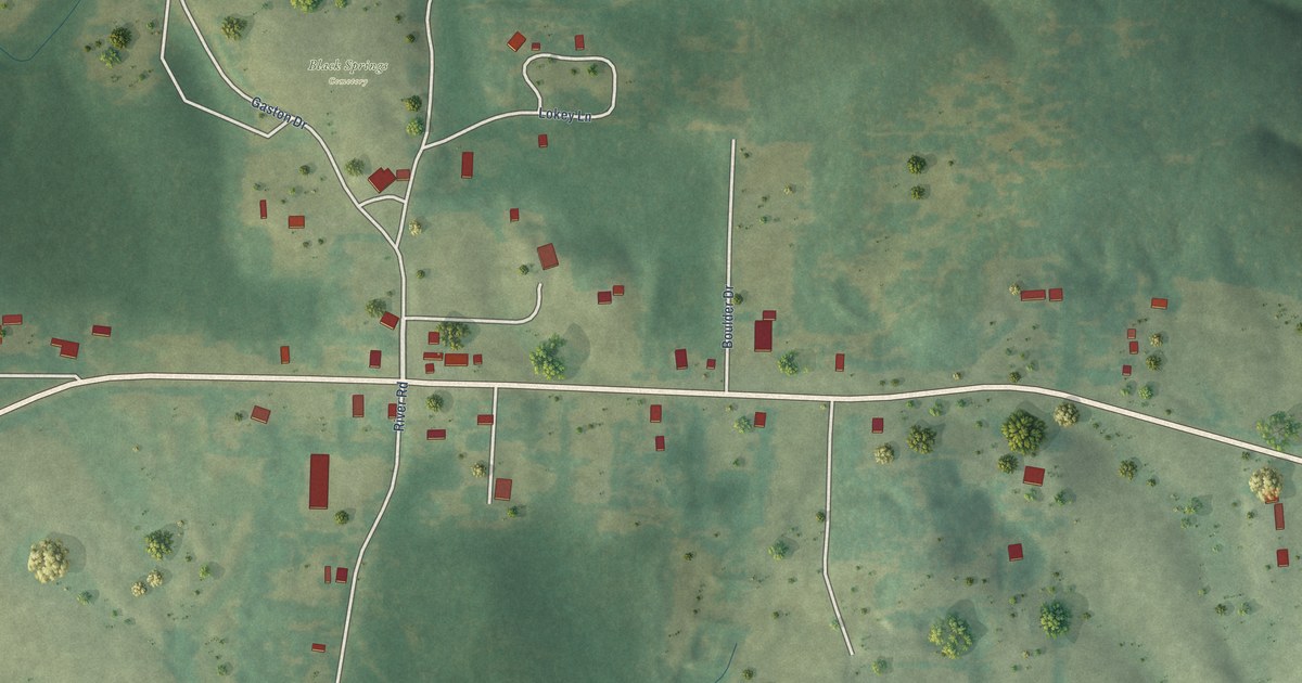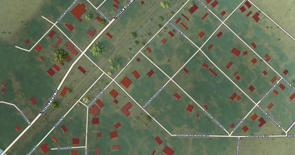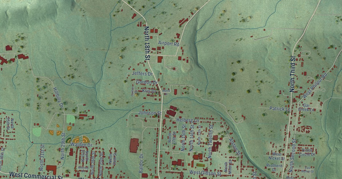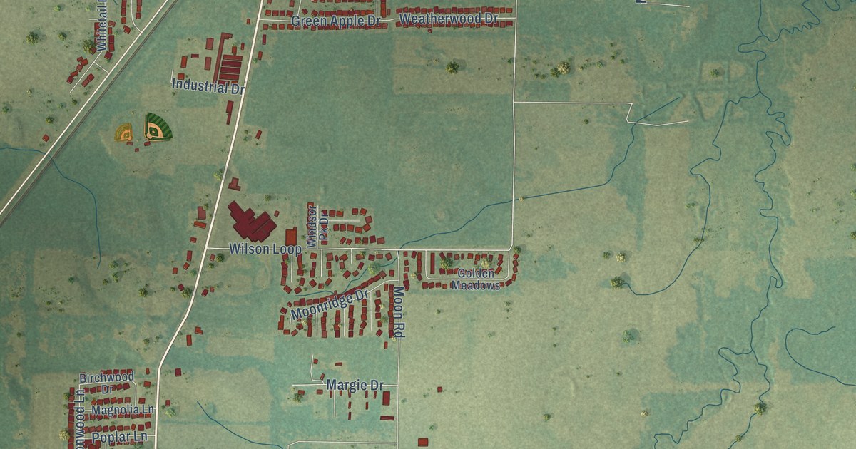
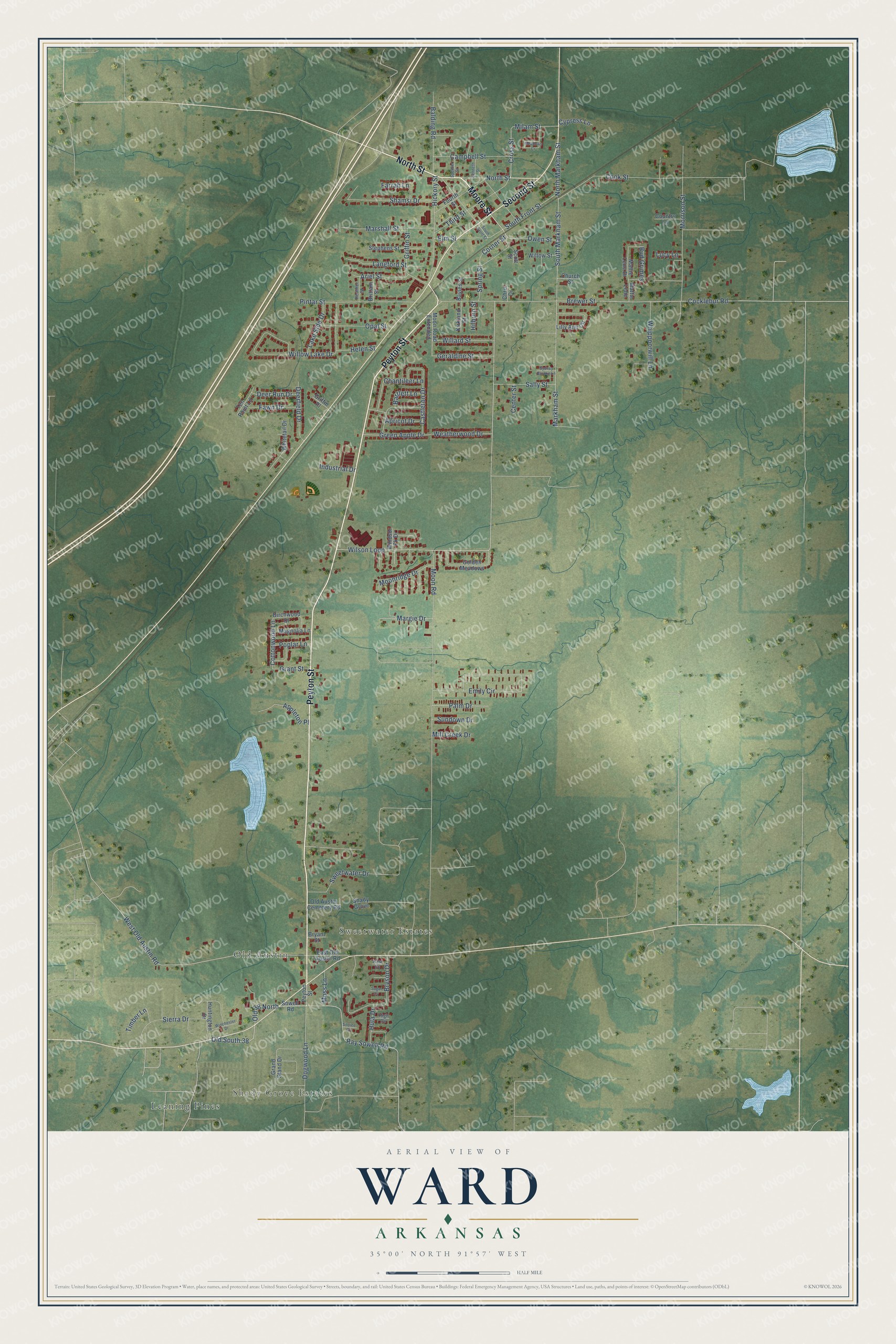
This beautifully detailed map of Ward, Arkansas was created in 2026 using aerial imagery combined with modern topographical, census, street and landmark data. It's a modern aerial view of Ward in Lonoke County, Arkansas, that combines modern data with a vintage aesthetic. The roads feature printed names, and if you look closely you can find your exact house accurately shown in its correct location.
Explore an aerial view of Ward, Arkansas
On this map you'll find Shady Grove Estates, Old Austin, Sweetwater Estates, Leaning Pines, Moore Street, Peyton Street, North Street, Second Street, Old 38 North, Cross Street, Corner Street, Old South 38, and more. Each red shape is a building, so zoom in on the preview and look for yours.
Every town has a first chapter, and Ward is no exception. The Encyclopedia of Arkansas puts it this way: "Ward is believed to have been named for W. D. (probably William) and Nancy L. Ward from Tennessee, who first settled the area in 1860, although some sources assert the community was named after railroad executive George Cabot Ward."
Ward is a city in Lonoke County.
Take a closer look at the Ward map
Names on this map
These names are printed on this map.
Places: Shady Grove Estates, Old Austin, Sweetwater Estates and Leaning Pines.
Streets and roads: Moore Street, Peyton Street, North Street, Second Street, Old 38 North, Cross Street, Corner Street, Old South 38, West Old Austin Road, South Markham Street, Markham Street, Cottonwood Lane.
More street names, A to Z
Appleton Place, Apricot Drive, Ariel Street, Balding Road, Bartlett Lane, Bayles Street, Birchwood Drive, Brewer Street, Brittani Street, Bryant Street, Bryson Drive, Bud Grimes, Campbell Street, Castleton Drive, Center Street, Chantileer Lane, Chris Drive, Church Street, Cocklebur Road, Cook Street, Country Lane, Cypress Lane, Deerfield Drive, Deer Run Drive, Dogwood Lane, East Old Austin Road, Elm Street, Emily Circle, Farrah Lane, Fawn Drive, Fourth Street, Geraldine Street, Golden Meadows, Grand Stand Drive, Grant Street, Green Apple Drive, Griffin Place, Griffin Street, Heather Street, Helen Street, Hickory Street, High Circle, Hilburn Street, Hula Drive, Huntington Drive, Industrial Drive, Kasi Cv, Kenneth Street, Kirkland Street, Lake Side Drive, Langford Street, Lilly Ann Circle, Lucy Lane, Magnolia Lane, Margie Drive, Marshall Street, Mattie Lene, Mattie Lene Drive, Meadows Cr, Milam Street, Mill Creek Drive, Moonridge Drive, Moon Road, Moon Road Extended, Morrison Street, Moss Lane, North Markham Street, Old Austin Cemetery Road, Opal Street, Owen Street, Palm Drive, Pintar Street, Poplar Lane, Ray Sowell Road, Sally Street, Scott Street, Shady Grove, Shamsi Drive, Sierra Drive, Sooiee Cv, South Front Street, South Scott Street, Sowell Road, Spencer Street, Spring Street, Stephens Street, Sugar Cv, Sundown Drive, Sweetwater Drive, Sydney Brooke Lane, Ten Point Lane, Third Street, Timber Lane, Weatherwood Drive, Whippoorwill Lane, Whitetail Drive, Willard Street, Willow Lake Drive, Willow Street, Wilson Loop, Winchester Drive, Windsor Pk Drive.
Created by KNOWOL in 2026. The buildings are small red shapes, the roads carry their printed names, and shaded relief shows the shape of the land. The title panel reads "AERIAL VIEW OF WARD ARKANSAS" with 35°00' NORTH 91°57' WEST.
Hang it in the hallway, the office or the cabin, or give it to someone who left Ward and still calls it home. Open the preview and look for a street you know. See sizes and frames for the Ward map.