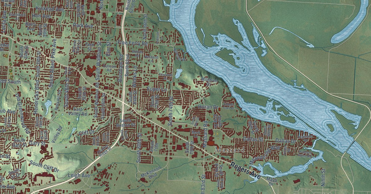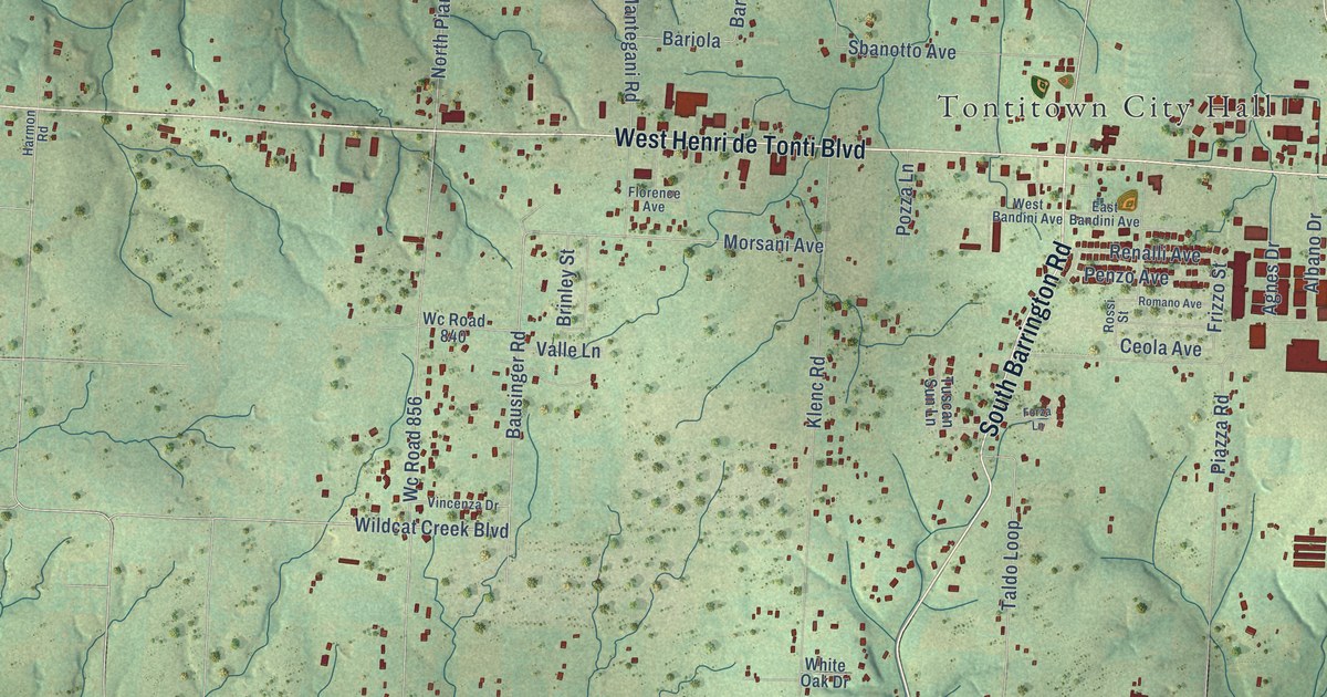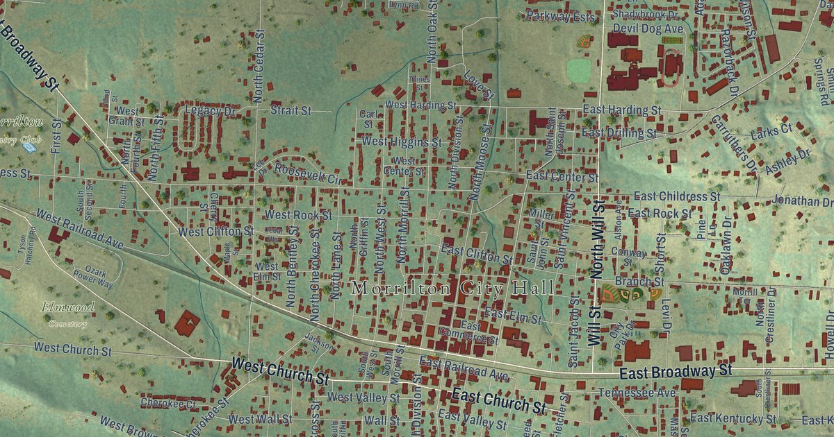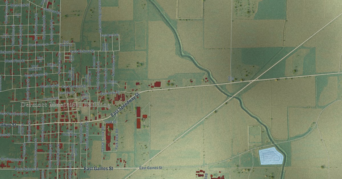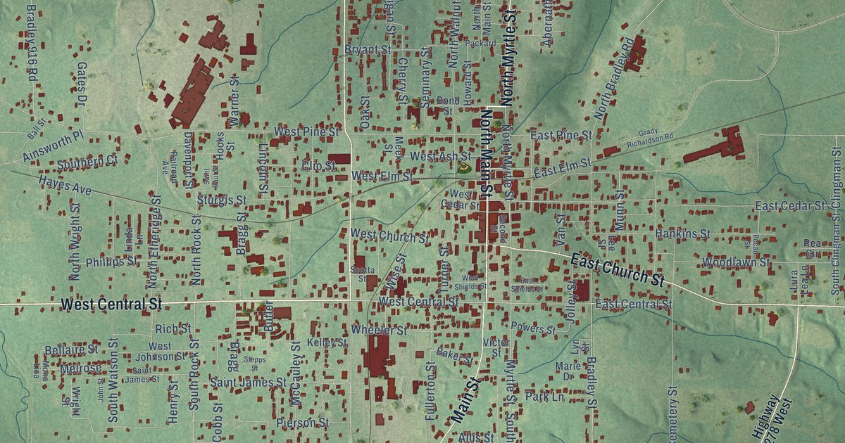
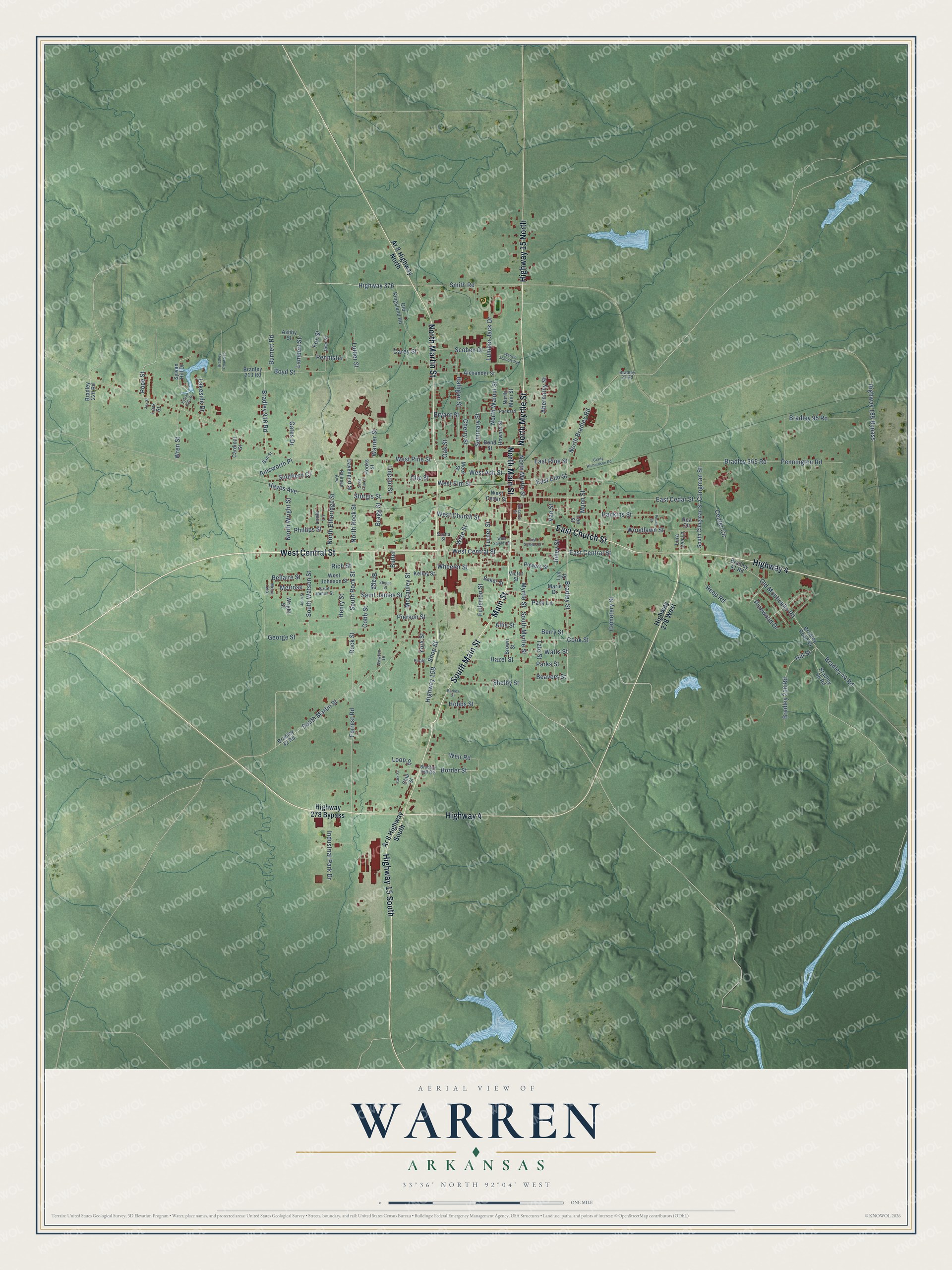
This beautifully detailed map of Warren, Arkansas was created in 2026 using aerial imagery combined with modern topographical, census, street and landmark data. It's a modern aerial view of Warren in Bradley County, Arkansas, that combines modern data with a vintage aesthetic. The roads feature printed names, and if you look closely you can find your exact house accurately shown in its correct location.
Explore an aerial view of Warren, Arkansas
On this map you'll find South Main Street, West Central Street, North Main Street, North Myrtle Street, North Martin Street, Main Street, Highway 15 South, Highway 4, East Church Street, Highway 15 North, Forrest Road, East Central Street, and more. Each red shape is a building, so zoom in on the preview and look for yours.
Here is a piece of Warren history, in the words of the record. The Encyclopedia of Arkansas puts it this way: "The naming of Warren remained clouded in conjecture for a long time; according to local family tradition, the town was named for Hugh Bradley’s slave, Warren Bradley, and this was finally confirmed in 2015 with the discovery of a time capsule in the county courthouse."
Warren is a city in Bradley County.
Take a closer look at the Warren map
Names on this map
These names are printed on this map.
Streets and roads: South Main Street, West Central Street, North Main Street, North Myrtle Street, North Martin Street, Main Street, Highway 15 South, Highway 4, East Church Street, Highway 15 North, Forrest Road, East Central Street.
More street names, A to Z
Abernathy Street, Ainsworth Place, Alexander Street, Allis Street, Ar 8 Highway North, Ar 8 Highway South, Ashby Street, Baker Street, Ball Street, Bark Street, Beavers Street, Bellaire Street, Berry Street, Bond Street, Border Street, Boyd Street, Bradley 23 Road, Bradley 32 Road, Bradley 41 Road, Bradley 44 Road, Bradley 95 Road, Bradley 98 Road, Bradley 213 Road, Bradley 218 Road, Bradley 220 Road, Bradley 365 Road, Bradley 916 Road, Bradley 928 Road, Bradley Road 44, Bradley Road 915, Bradley Street, Bragg, Bragg Street, Brown Street, Bryant Street, Burkes Street, Burnett Road, Butler, Cardinal Street, Carey Street, Cemetery Street, Center Circle, Cherry Street, Chip Street, Clingman Street, Clio Street, Cobb Street, Cook Street, Davenport Street, Deer Street, East Cedar Street, East Elm Street, East Pine Street, East Shields Street, Fox Street, Fullerton Street, Gates Drive, George Street, Grady Richardson Road, Halligan Street, Hankins Street, Hayes Avenue, Hazel Street, Henry Street, Highway 189 Bypass, Highway 278 Bypass, Highway 278 West, Highway 376, Hill Street, Hobbs Street, Hooks Street, Howard Street, Industrial Park Drive, Jay Street, John Street, Jolley Street, Kelley Street, Lakeside Drive, Lambert Street, Lark Street, Lee Street, Lincoln Street, Linda Lane, Loop Street, Lumber Jack Drive, Lura Lea Lane, Luther Street, Lyn Street, Marie Drive, McCauley Street, Meek Street, Melrose, Mona Liza, Munn Street, Myrtle Street, Newton Drive, North Bradley Road, North Etheridge Street, North Rock Street, North Walnut Street, North Wright Street, Oak Street, Old Kingsland Road, Old Monticello Road, Packard, Park Lane, Parks Street, Pecan Street, Pennington Road, Pennister, Phillips Street, Pierson Street, Pinewood Drive, Poole, Pope Street, Powers Street, Railroad Avenue, Rea Circle, Reep Road, Rich Street, Rock Street, Saint James Street, Saint Paul Street, Scobey Drive, Scotta Street, Second Street, Seminary Street, Shelby Street, Shop Street, Smith Road, South Clingman Street, Southern Court, South Martin Street, South Myrtle Street, South Rock Street, South Watson Street, Stepps Street, Sturgis Street, Sylvan Hill Drive, Sylvan Hills Drive, Tate Street, Turner Street, Van Street, Victor Street, Warner Street, Warren Schools Pvt, Watts Street, Weir Road, West Ash Street, West Cedar Street, West Church Street, West Elm Street, West Johnson Street, West Pine Street, West Shields Street, Wheeler Street, Wise Street, Woodlawn Street, Wren Street, Wright Street, York Street.
Created by KNOWOL in 2026. The buildings are small red shapes, the roads carry their printed names, and shaded relief shows the shape of the land. The title panel reads "AERIAL VIEW OF WARREN ARKANSAS" with 33°36' NORTH 92°04' WEST.
It suits a den, a classroom or a front hall, and it makes a gift for anyone with Warren roots. Open the preview and find the block you know. See sizes and frames for the Warren map.