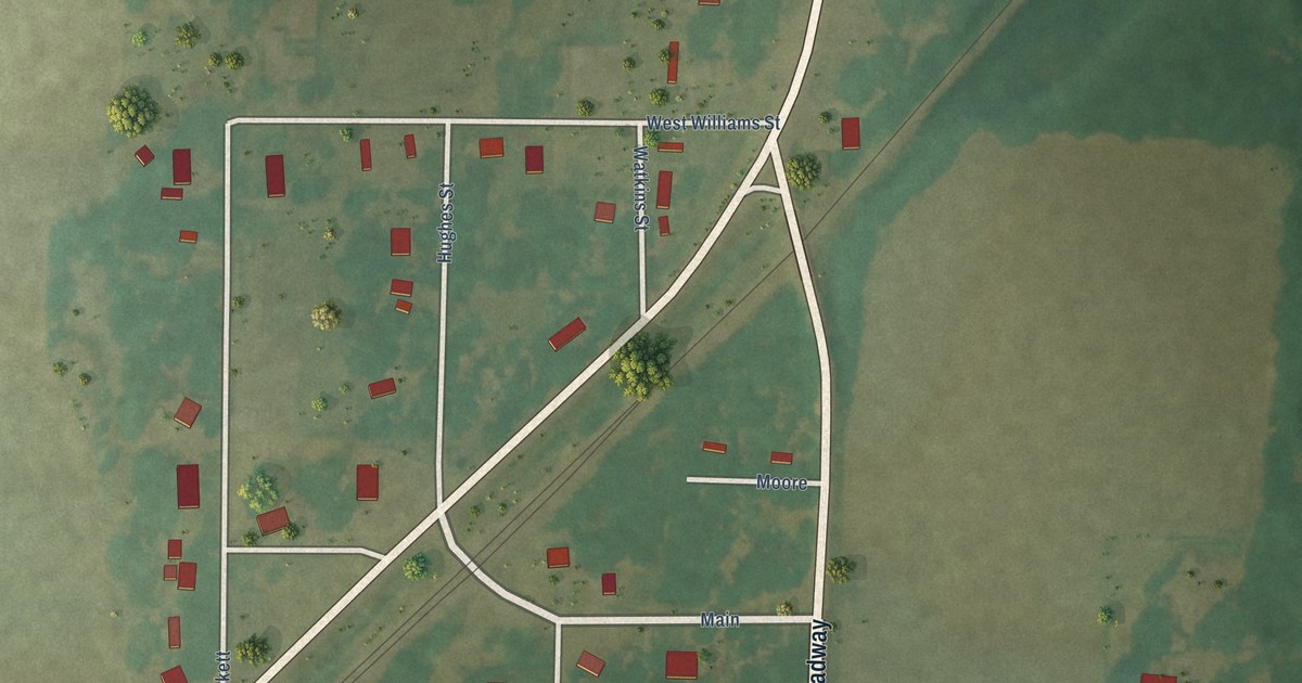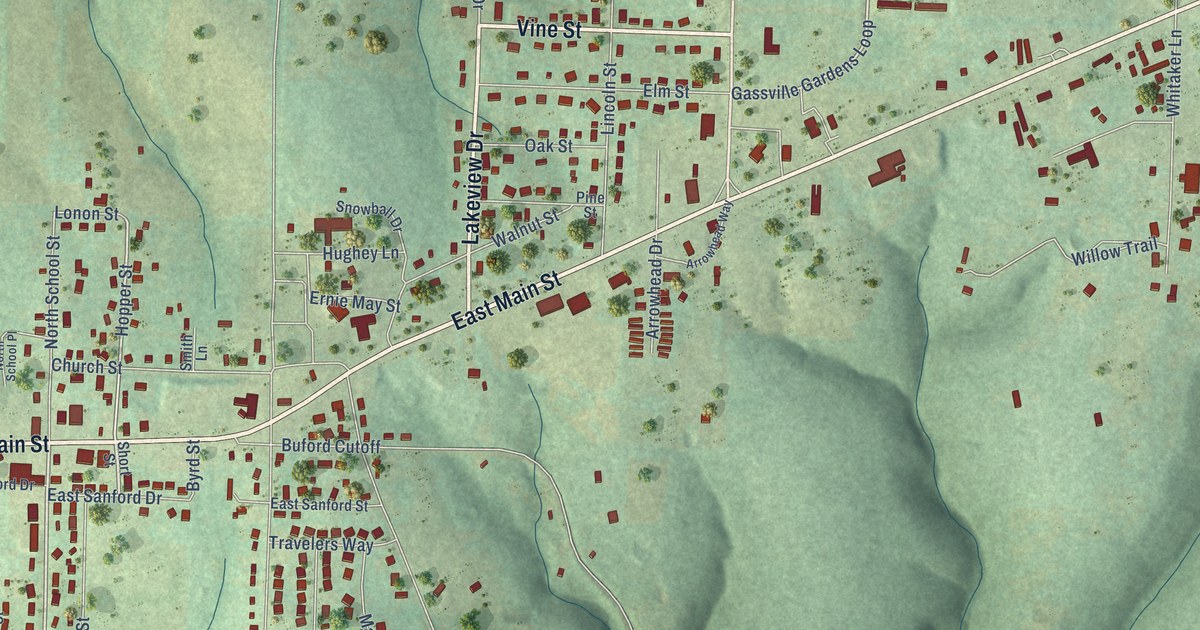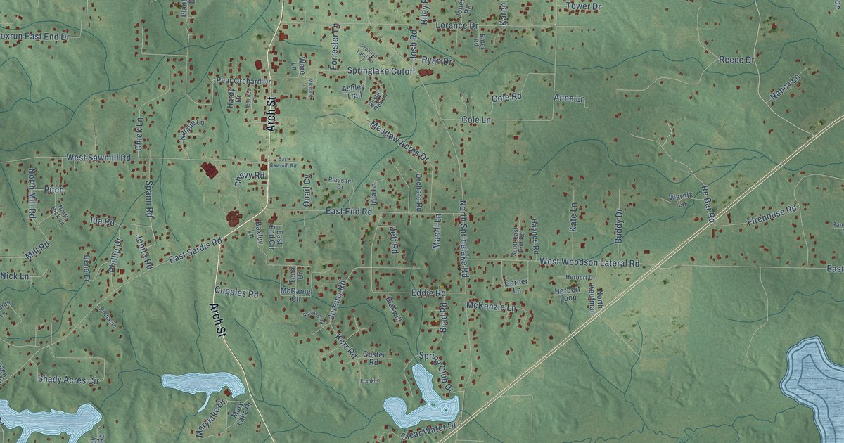
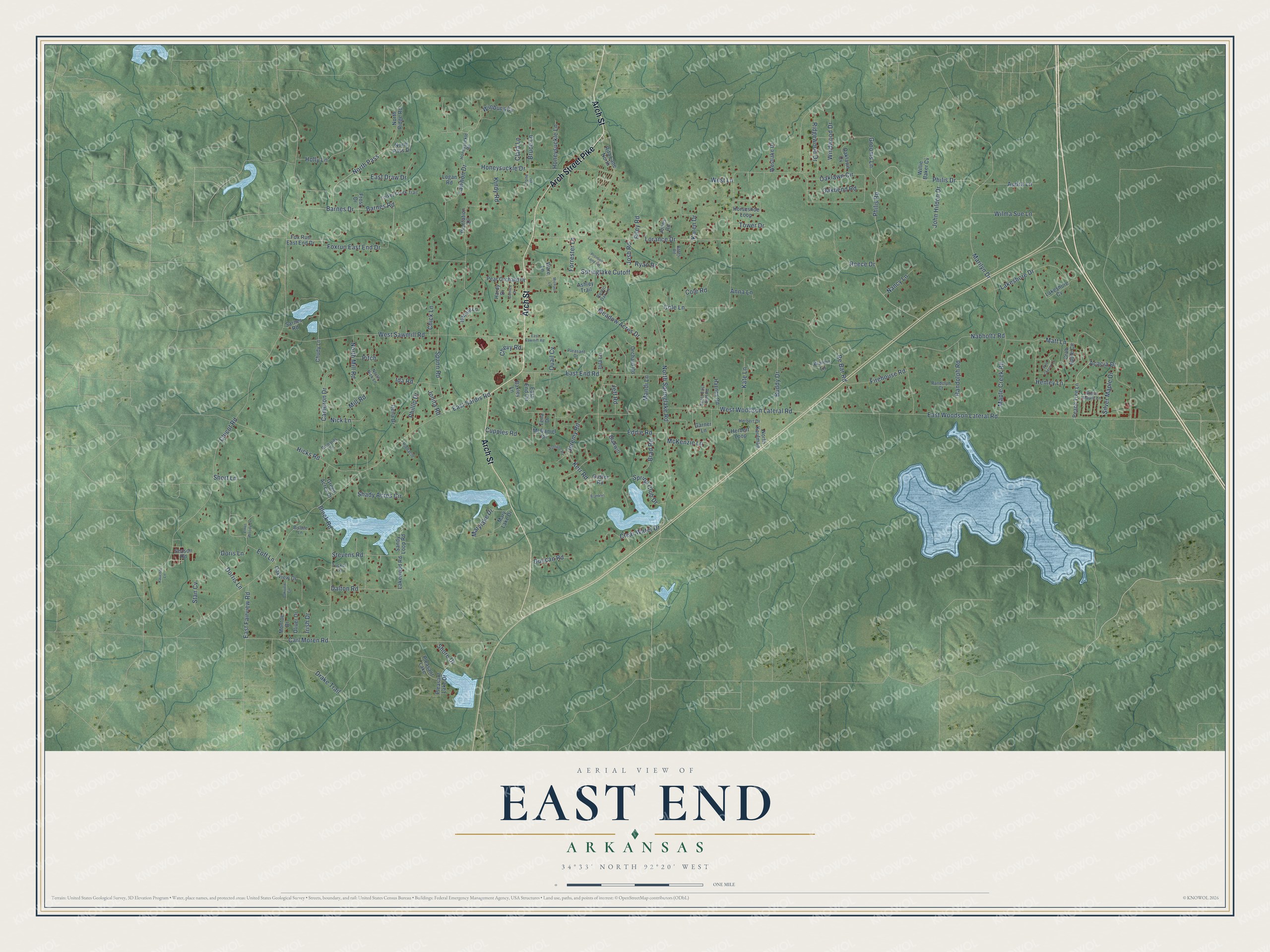
This beautifully detailed map of East End, Arkansas was created in 2026 using aerial imagery combined with modern topographical, census, street and landmark data. It's a modern aerial view of East End in Saline County, Arkansas, that combines modern data with a vintage aesthetic. The roads feature printed names, and if you look closely you can find your exact house accurately shown in its correct location.
Explore an aerial view of East End, Arkansas
On this map you'll find Arch Street, Arch Street Pike, Jeremy Road, Chicot Road, East Sardis Road, North Springlake Road, Lorance Drive, East Woodson Lateral Road, Philis Drive, Philis Road, Carl Moren Road, West Sawmill Road, and more. Each red shape is a building, so zoom in on the preview and look for yours.
Here is a piece of East End history, in the words of the record. The CALS Encyclopedia of Arkansas puts it this way: "Named for its geographical location in the eastern end of Saline County, it is home to a branch of the Saline County Library and historic locations such as Salem Cemetery and Marylake Monastery."
East End is a community in Saline County. The Census Bureau counted 7,137 people here in 2020.
Take a closer look at the East End map
Names on this map
These names are printed on this map.
Places: Pleasant Lake.
Streets and roads: Arch Street, Arch Street Pike, Jeremy Road, Chicot Road, East Sardis Road, North Springlake Road, Lorance Drive, East Woodson Lateral Road, Philis Drive, Philis Road, Carl Moren Road, West Sawmill Road.
More street names, A to Z
Acacia Drive, Anna Lane, Ashland Road, Ashley Trail, Audra Lane, Barnes Drive, Barnes Road, Bates Road, Baxley Lane, Bisbee Lane, Blakwill, Block Road, Brad Road, Bruce Lane, Buddy Drive, Cameron Drive, Chevy Road, Chick Lane, Chudy Lane, Clara Lane, Clear Water Drive, Cole Lane, Cole Road, Comice Drive, Crab Apple Circle, Crone Drive, Cupples Road, Dalton Road, Dena Drive, Doris Lane, Dorris Lane, Drake Trail, Duncan Road, East Draw Drive, East End Circle, East End Road, East Fairview Road, East Sawmill Road, Eddie Road, Eoff Lane, Ethel Woody Lane, Firehouse Road, Forrester Lane, Foxrun East End Drive, Fox Run East End Drive, Franklin, Frost Drive, Garner Lane, Green Acres Drive, Grooms Lane, Guster Road, Hardy Drive, Haynes Road, Henley Lane, Herbert Drive, Herbert Loop, Hicks Road, Holly Lane, Honeysuckle Drive, Honeysuckle Lane, Honeysuckle Road, Horseshoe Loop, Ida Road, Iola Lane, Irish Drive, Jeff Road, John Hildon Drive, Jones Road, Jonita Road, Josh Road, Karen Drive, Kate Lane, Kaucher Lane, Kerr Road, Kindy Road, Lakeshore Cv, Lakeshore Drive, Lakewood Road, Lawhon Drive, Logan Road, Mandi Lane, Maple Creek Road, Marilyn Drive, Marylake Drive, Mary Lake Drive, Matt Lane, McDaniel Circle, McKenzie Lane, Meadow Acres Drive, Michael Lane, Mill Road, Monroe Drive, Nabholtz Road, Nancy Lane, Natalie Lane, Nick Lane, North Kaufman, North Mill Road, North Nick Lane, North Pass, North Pass Drive, North Ridge Road, Oakbend Road, Oaklawn Circle, Oaklawn Cv, Oakview Circle, Oakview Drive, Oliver Drive, Orchard Road, Peach Tree Lane, Pear Orchard Drive, Phillip Drive, Pinnacle, Pitch, Plantation Drive, Pleasant Drive, Pleasant Lake Drive, Promise Land Road, Quail Cv, Randolph Court, Randolph Road, Re Bar Road, Reece Drive, Richards Lane, Ridgewood Drive, Riley Road, Rita Lane North, Rustic Oak Lane, Ryan Drive, Sandy Loop Road, Sarnes Road, Scott East End Road, Season Road, Shady Acres Circle, Shore Drive, Short Lane, Silver Maple Drive, Spann Road, Spring Club Drive, Springlake Cutoff, Stan Cv, Stevens Road, Sugar Maple Lane, Tena Drive, Tower Drive, Tucker Lane, Turkey Creek Trail, Ware Lane, Warnix Lane, Westlake Drive, West Lane, West Woodson Lateral Road, Wild Cherry Lane, Willie Baker Cv, Wilma Sue Lane, Winbury Cv, Windwood Drive.
Created by KNOWOL in 2026. The buildings are small red shapes, the roads carry their printed names, and shaded relief shows the shape of the land. The title panel reads "AERIAL VIEW OF EAST END ARKANSAS" with 34°33' NORTH 92°20' WEST.
It suits a den, a classroom or a front hall, and it makes a gift for anyone with East End roots. Open the preview and find the block you know. See sizes and frames for the East End map.