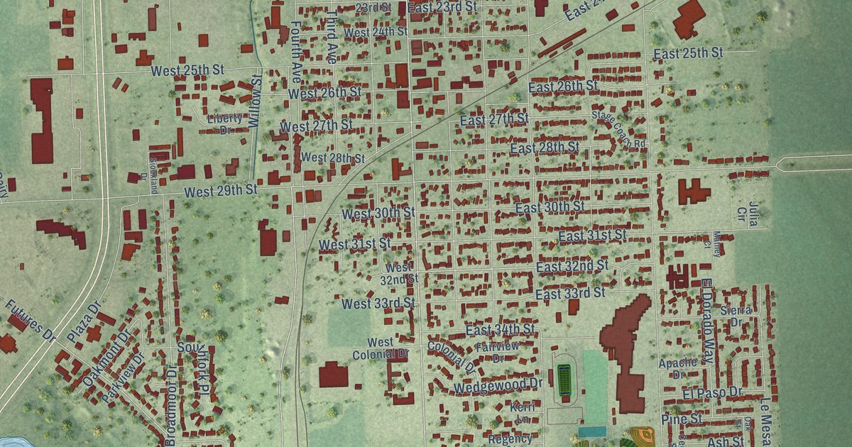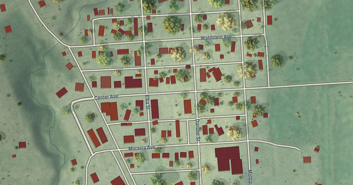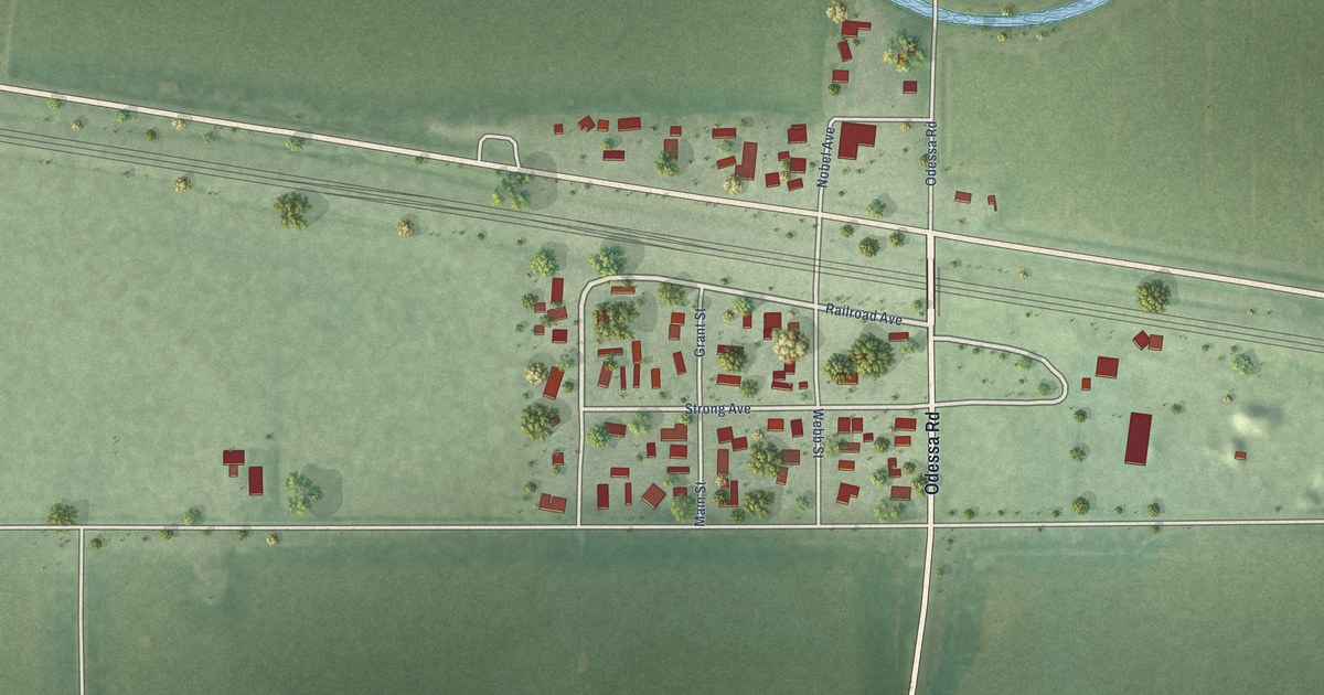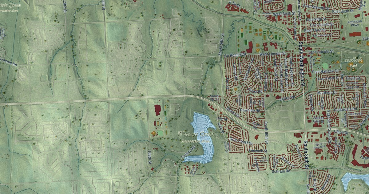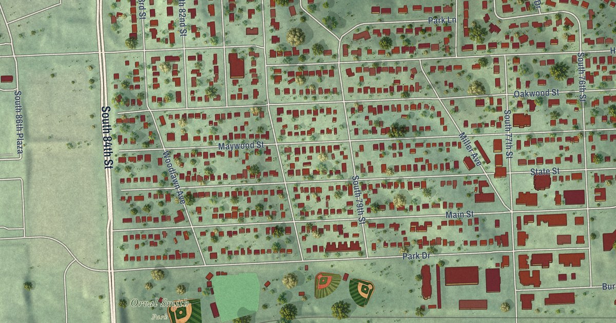
This beautifully detailed map of Ralston, Nebraska was created in 2026 using aerial imagery combined with modern topographical, census, street and landmark data. It’s a one-of-a-kind view of Ralston that combines accurate data with a vintage aesthetic. The map shows every building in its true location, many of the roads carry their names, and the shaded topographic relief shows the shape of the land.
Explore an aerial view of Ralston, Nebraska
On the map you’ll find Oak Park, Orval Smith Park, Wildewood Park, and South 86th Plaza, along with South 84th Street, South 84th Avenue, South 72nd Street, South 83rd Avenue, South 73rd Street, Walnut Lane, Lakeview Street, Sunset Drive, and more. If you look closely you can even find your house accurately drawn in its correct location. Zoom in on the preview to look for yours.
Did you know this piece of Ralston, Nebraska history?
From the University of Nebraska: "Ralston was named in honor of a Mr. Ralston who lived in the vicinity when the town was first started and who was very prominent in business circles."
Take a closer look at the Ralston map
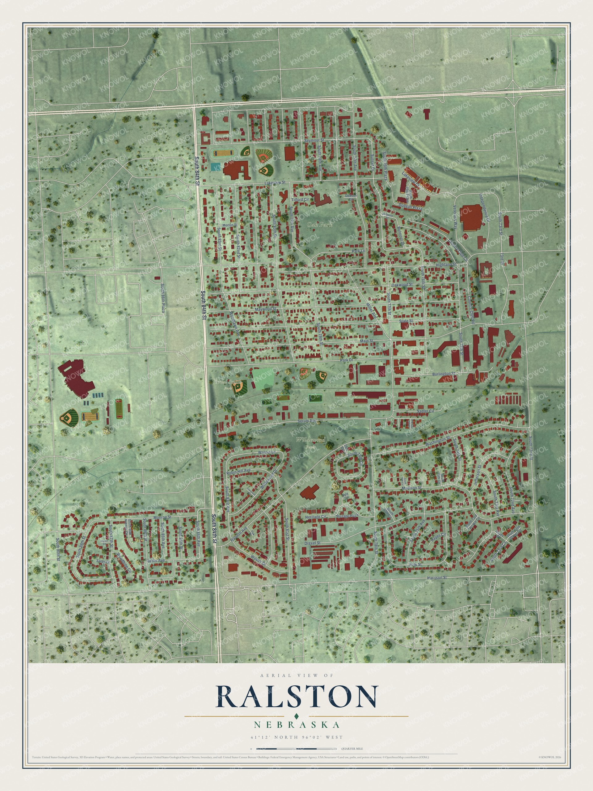
Street and place names on the Ralston, Nebraska map
These names are printed on the map of Ralston, Nebraska.
Places: Oak Park, Orval Smith Park and Wildewood Park.
Streets and roads: South 84th Street, South 84th Avenue, South 72nd Street, South 83rd Avenue, South 86th Plaza, South 73rd Street, Walnut Lane, Lakeview Street, Sunset Drive, Harrison Street, Park Drive, Main Street.
More street names, A to Z
73rd Street, 79th Circle, Belmont Drive, Belmont Street, Burlington Street, Clairmont Avenue, Country Club Circle, Country Club Road, Daly Circle, Dodson Circle, Dodson Plaza, Drexel Circle, Drexel Street, Geiler Avenue, Hayes Circle, Hayes Street, Heritage Circle, Heritage Plaza, Highland Street, Independence Drive, Jefferson Street, Lakeview Court, Madison Street, Maywood Street, Miller Avenue, Monroe Street, Morton Street, Oak Place, Oakwood Street, Park Lane, Polk Street, Ralston Avenue, Robin Hill Avenue, Sadler Circle, Sarpy Circle, Serum Avenue, Seymour Street, South 72nd Avenue, South 73rd Avenue, South 73rd Circle, South 73rd Street Circle, South 73rd Terrace Circle, South 74th Street, South 75th Avenue, South 75th Circle, South 75th Plaza, South 75th Street, South 76th Avenue, South 76th Circle, South 76th Plaza, South 76th Street, South 77th Avenue, South 77th Circle, South 77th Street, South 78th Avenue, South 78th Street, South 79th Avenue, South 79th Circle, South 79th Street, South 80th Street, South 81st Street, South 82nd Street, South 83rd Street, South 85th Avenue, South 85th Street, South 86th Avenue Circle, South 86th Street, South 87th Street, South 88th Street, South 90th Street, State Street, Tilford Circle, Veterans Way, Washington Street, Wildewood Drive, Wilson Drive, Woodbine Circle, Woodlawn Avenue.
See the Ralston, Nebraska map on a wall
The Ralston map as an 18 x 24 inch print in a black frame.

This beautifully detailed map of Ralston makes an attractive addition to your office, library, or den, and it can even be used to teach children the geography and history of the area. It also makes a great gift for anyone with Ralston roots. When you’re done exploring, click here to get your copy of the Ralston map.