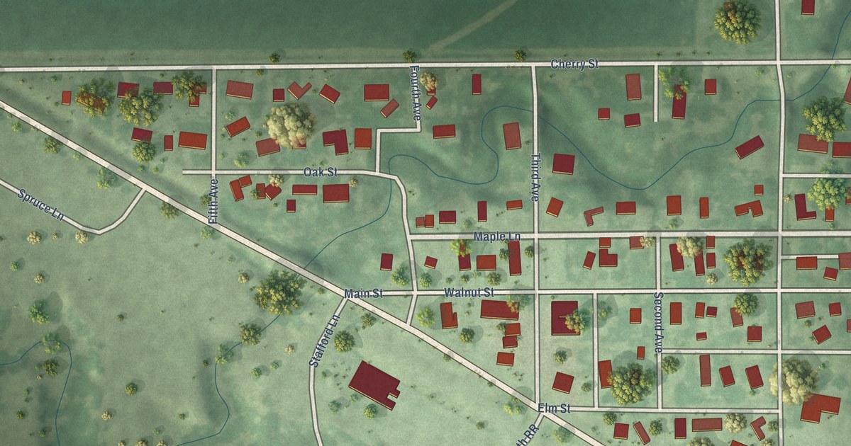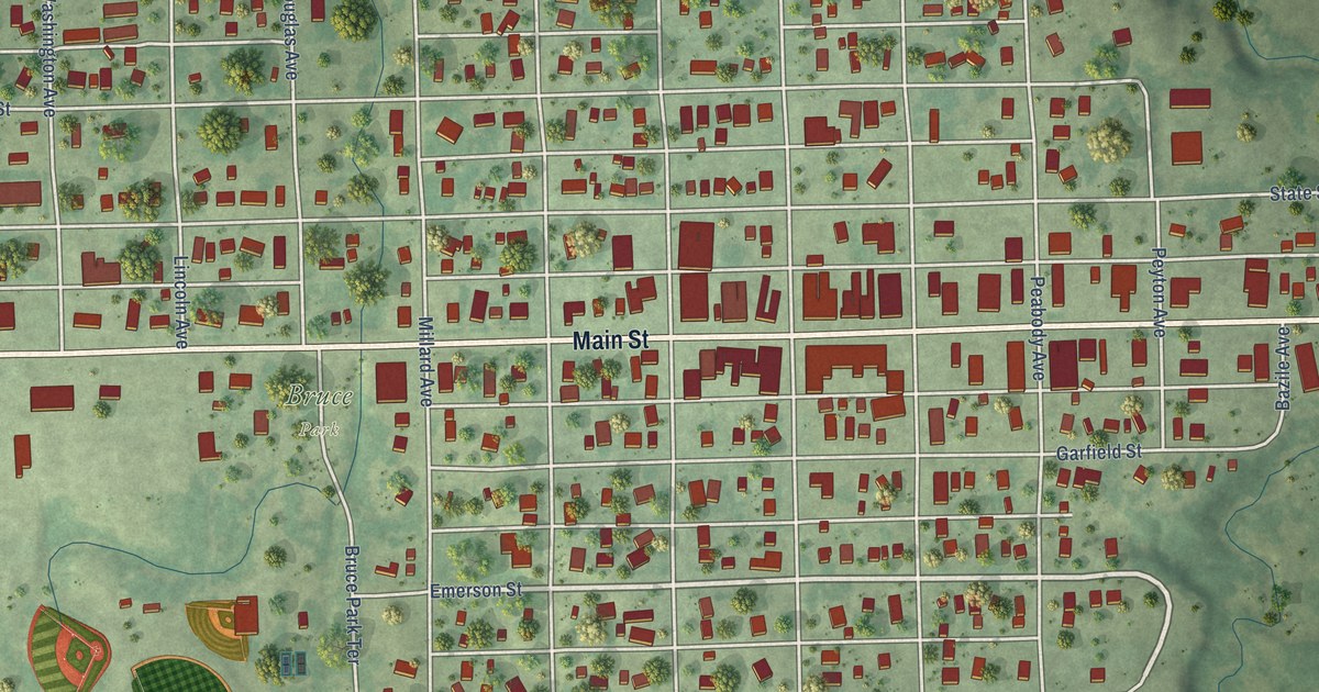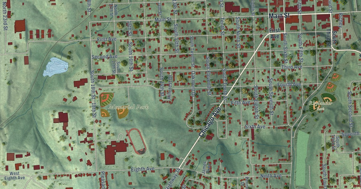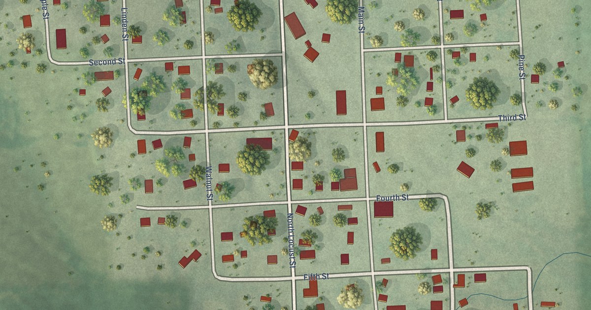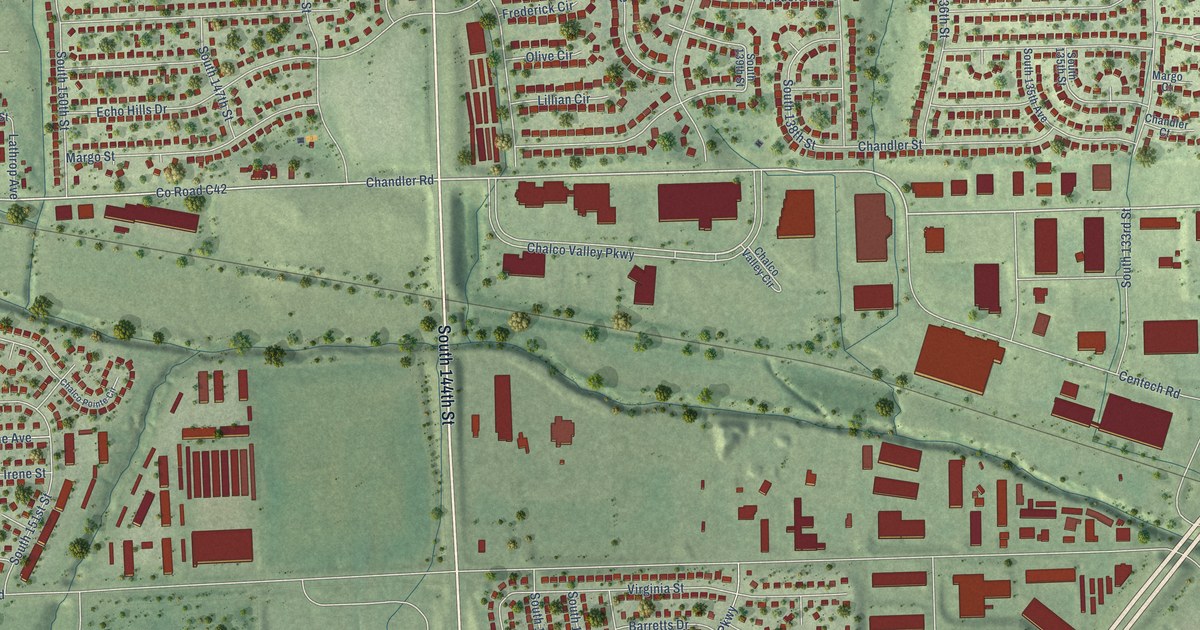
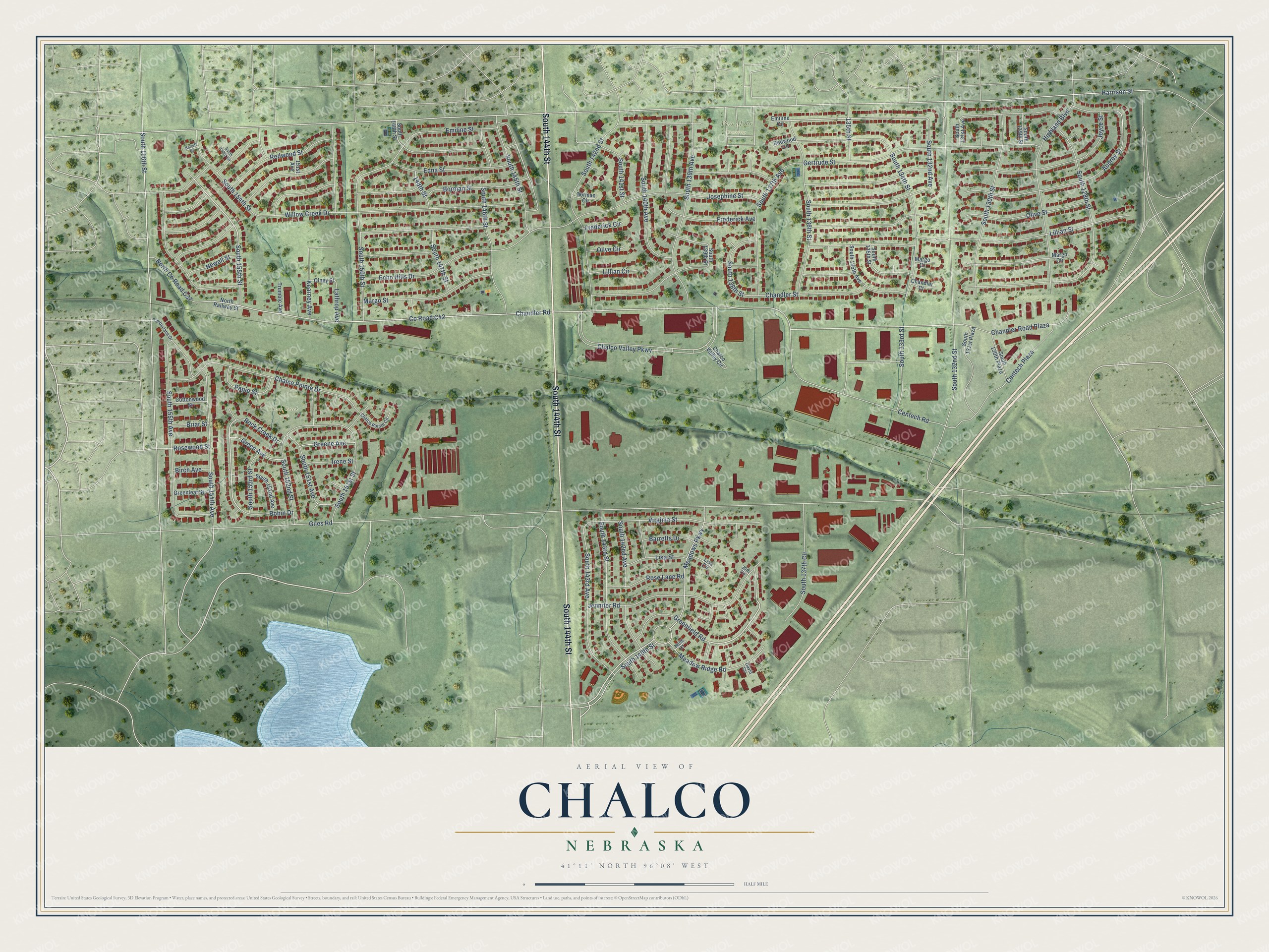
This beautifully detailed map of Chalco, Nebraska was created in 2026 using aerial imagery combined with modern topographical, census, street and landmark data. It's a modern aerial view of Chalco in Sarpy County, Nebraska, that combines modern data with a vintage aesthetic. The roads feature printed names, and if you look closely you can find your exact house accurately shown in its correct location.
Explore an aerial view of Chalco, Nebraska
On this map you'll find Voss Mohr Cemetery, Rock Creek Park, South 144th Street, Greenfield Road, South 155th Street, Emiline Street, South 154th Street, Meadow Ridge Road, Chandler Road, South 156th Street, South 132nd Avenue, 148th Street, and more. Each red shape is a building, so zoom in on the preview and look for yours.
Chalco has a story worth telling. The University of Nebraska puts it this way: "Chalco is a village on the Chicago, Burlington, and Quincy railroad in the northern part of Sarpy county. There is a town and a lake, both named Chalco, situated twenty-five miles southeast of the city of Mexico."
Chalco is a community in Sarpy County. The Census Bureau counted 11,064 people here in 2020.
Take a closer look at the Chalco map
Names on this map
These names are printed on this map.
Places: Voss Mohr Cemetery and Rock Creek Park.
Streets and roads: South 144th Street, Greenfield Road, South 155th Street, Emiline Street, South 154th Street, Meadow Ridge Road, Chandler Road, South 156th Street, South 132nd Avenue, 148th Street, Harrison Street, Giles Road.
More street names, A to Z
39th Circle, 135th Street, 140th Court, 151st Avenue, Audrey Street, Barretts Drive, Birch Avenue, Borman Circle, Borman Street, Briar Street, Centech Plaza, Centech Road, Chalco Pointe Circle, Chalco Pointe Drive, Chalco Valley Circle, Chalco Valley Parkway, Chandler Court, Chandler Road Plaza, Chandler Street, Cottonwood Street, County Road C42, David Circle, Echo Hills Drive, Edna Street, Emiline Circle, Frederick Avenue, Frederick Circle, Gertrude Street, Green Avenue, Greene Avenue, Greenleaf Street, Highland Boulevard, Irene Street, Jennifer Road, Josephine Street, Joyce Street, Karloff Circle, Kearney Avenue, Lathrop Avenue, Lillian Circle, Lillian Street, Lisa Circle, Lisa Street, Margo Circle, Margo Court, Margo Street, Meadows Parkway, Newell Street, North County Road C37, North Railway Street, Olive Circle, Olive Street, Olney Street, Papio Street, Redwood Circle, Redwood Street, Robin Drive, Rock Creek Drive, Rose Lane Road, Rosewood Street, South 128th Street, South 129th Street, South 130th Plaza, South 130th Street, South 131st Avenue, South 131st Plaza, South 132nd Street, South 133rd Street, South 134th Street, South 135th Avenue, South 135th Street, South 136th Street, South 137th Avenue, South 137th Circle, South 138th Street, South 139th Avenue, South 139th Street, South 140th Avenue, South 140th Street, South 141st Street, South 142nd Avenue, South 142nd Street, South 143rd Avenue, South 143rd Street, South 145th Street, South 146th Street, South 147th Street, South 148th Street, South 150th Street, South 151st Avenue, South 151st Street, South 152nd Avenue, South 152nd Street, South 153rd Circle, South 153rd Street, South 154th Avenue, South 155th Avenue, Timberlane Drive, Trumble Avenue, Virginia Street, Willow Creek Drive.
Created by KNOWOL in 2026. The buildings are small red shapes, the roads carry their printed names, and shaded relief shows the shape of the land. The title panel reads "AERIAL VIEW OF CHALCO NEBRASKA" with 41°11' NORTH 96°08' WEST.
It looks right in a kitchen, an office or a den, and it's a gift for anyone who grew up in Chalco or moved away. Open the preview and find your street. See sizes and frames for the Chalco map.