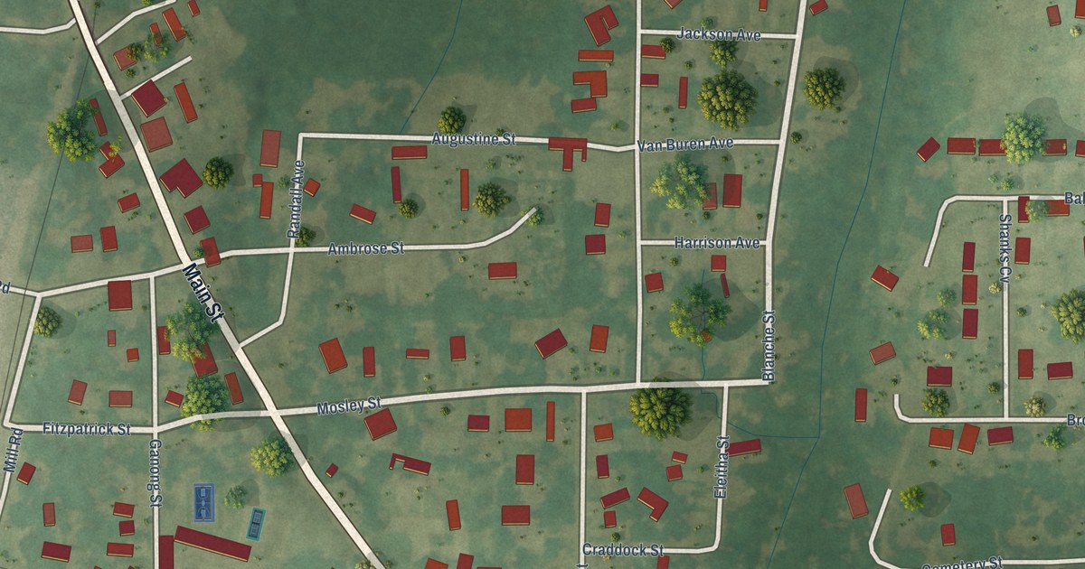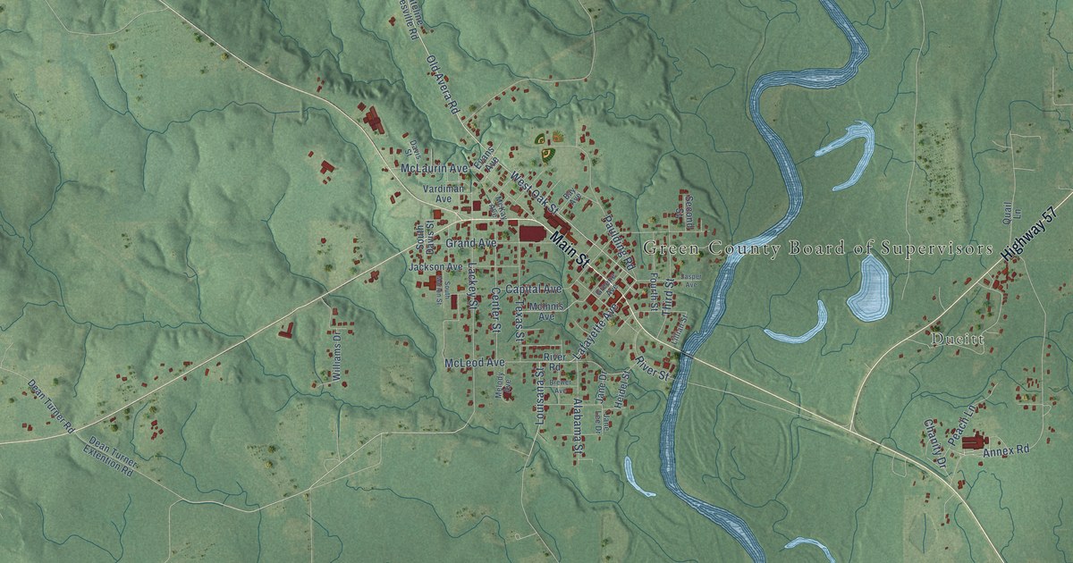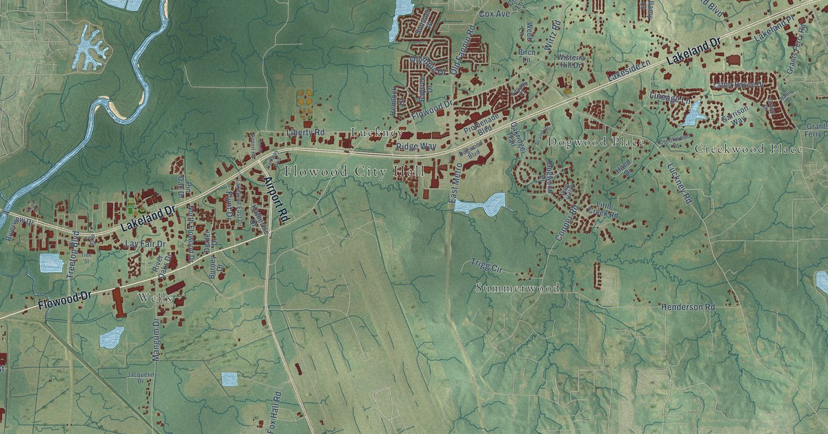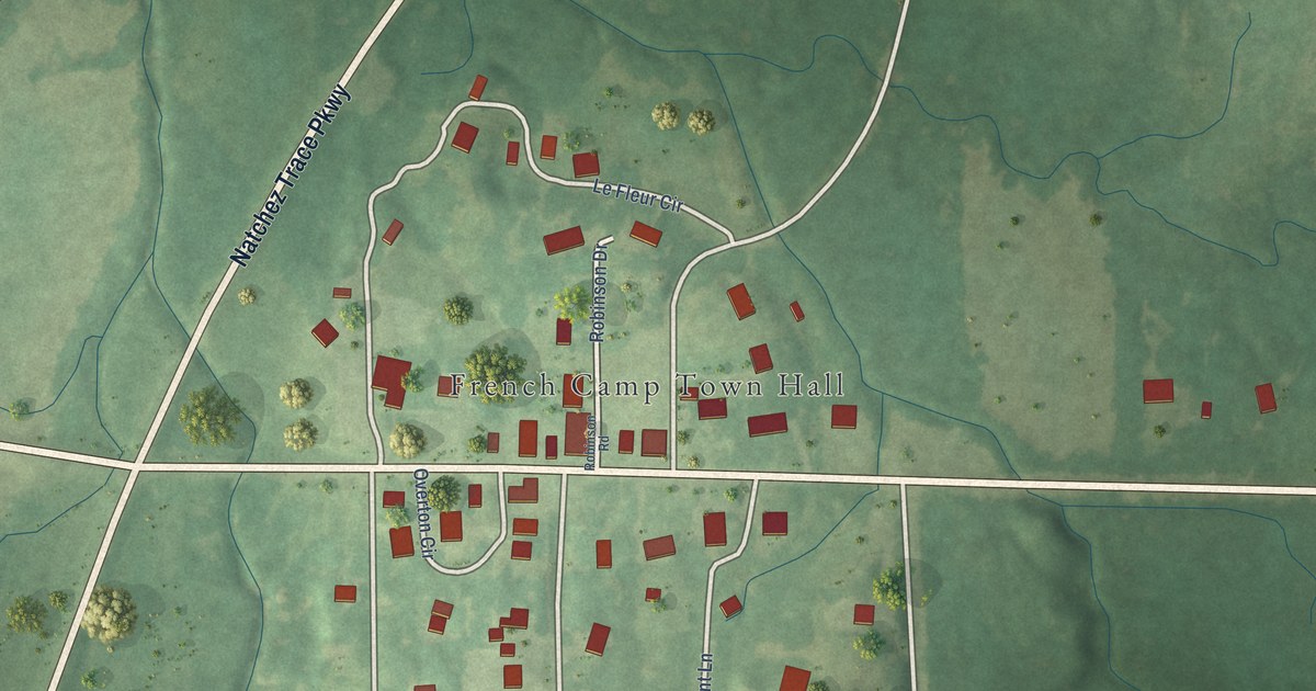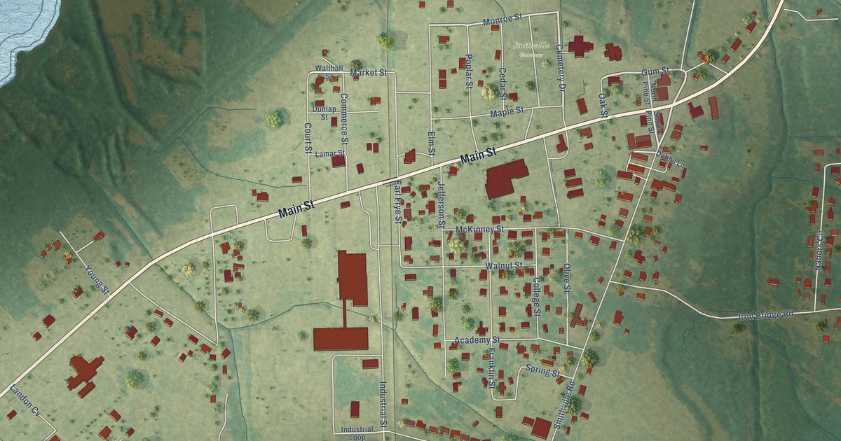
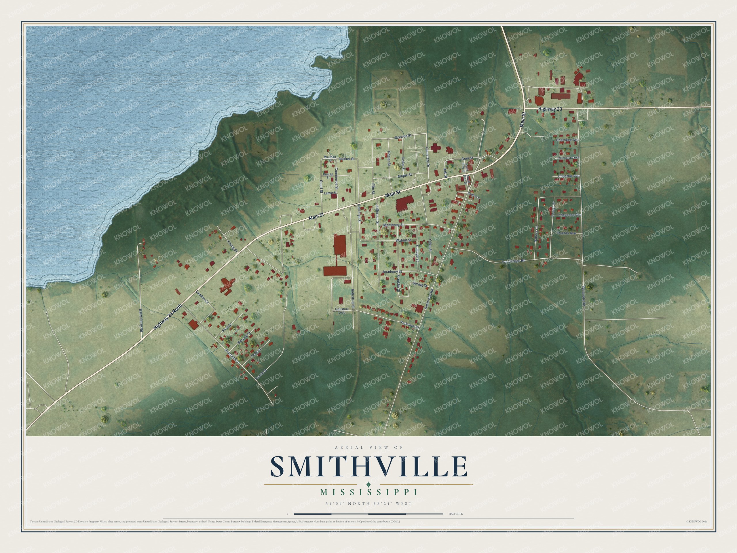
This beautifully detailed map of Smithville, Mississippi was created in 2026 using aerial imagery combined with modern topographical, census, street and landmark data. It's a modern aerial view of Smithville in Monroe County, Mississippi, that combines modern data with a vintage aesthetic. The roads feature printed names, and if you look closely you can find your exact house accurately shown in its correct location.
Explore an aerial view of Smithville, Mississippi
On this map you'll find Smithville Cemetery, Main Street, Highway 25 North, Highway 23, Gum Street, Cemetery Drive, Market Street, Monroe Street, Smithville Road, Seminole Road, Iron Bridge Road, Brasfield Lane, and more. Each red shape is a building, so zoom in on the preview and look for yours.
Here is a piece of Smithville history, in the words of the record. The Monroe Journal puts it this way: "The EF-5 tornado, which claimed 16 lives in Smithville and leveled homes, government buildings, business and parts of the Smithville Attendance Center campus, had winds rated at 205 miles per hour."
Smithville is a town in Monroe County. The Census Bureau counted 509 people here in 2020.
Take a closer look at the Smithville map
Names on this map
These names are printed on this map.
Places: Smithville Cemetery.
Streets and roads: Main Street, Highway 25 North, Highway 23, Gum Street, Cemetery Drive, Market Street, Monroe Street, Smithville Road, Seminole Road, Iron Bridge Road, Brasfield Lane, Industrial Street.
More street names, A to Z
Academy Street, Barrs Ferry Road, Cedar Street, Cherokee Avenue, Cheyenne Avenue, Chickasaw Avenue, Choctaw Avenue, College Street, Commerce Street, Court Street, Dobbs Lane, Dunlap Street, Earl Frye Street, Elm Street, First Street, Fourth Street, Franklin Street, Industrial Loop, Jefferson Street, Lamar Street, Landon Cv, Maple Street, McKinney Street, Nabors Circle, North Pine Street, Oak Street, Olive Street, Parkview Drive, Poplar Street, Powell Street, Pueblo Avenue, Second Street, South Pine Street, Spring Street, Third Street, Walnut Street, Walthall Street, Young Street.
Created by KNOWOL in 2026. The buildings are small red shapes, the roads carry their printed names, and shaded relief shows the shape of the land. The title panel reads "AERIAL VIEW OF SMITHVILLE MISSISSIPPI" with 34°04' NORTH 88°24' WEST.
It suits a den, a classroom or a front hall, and it makes a gift for anyone with Smithville roots. Open the preview and find the block you know. See sizes and frames for the Smithville map.