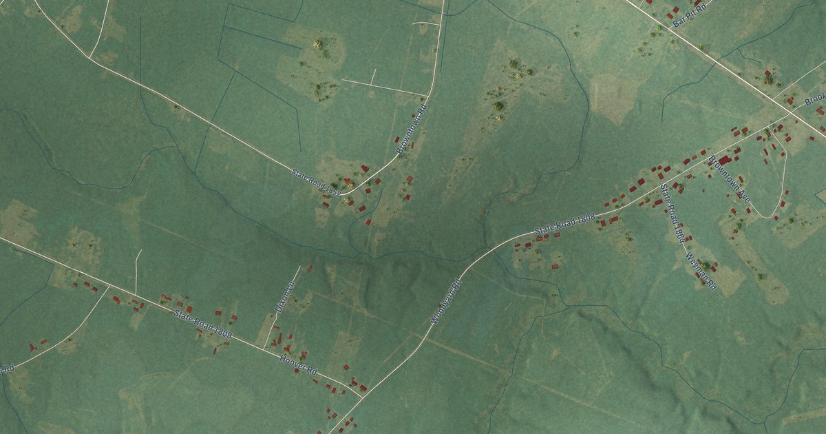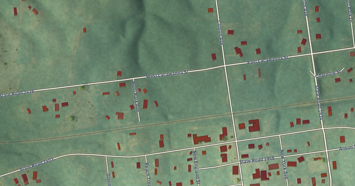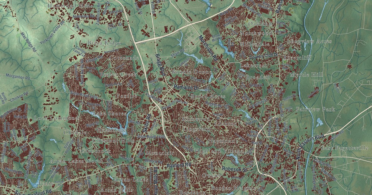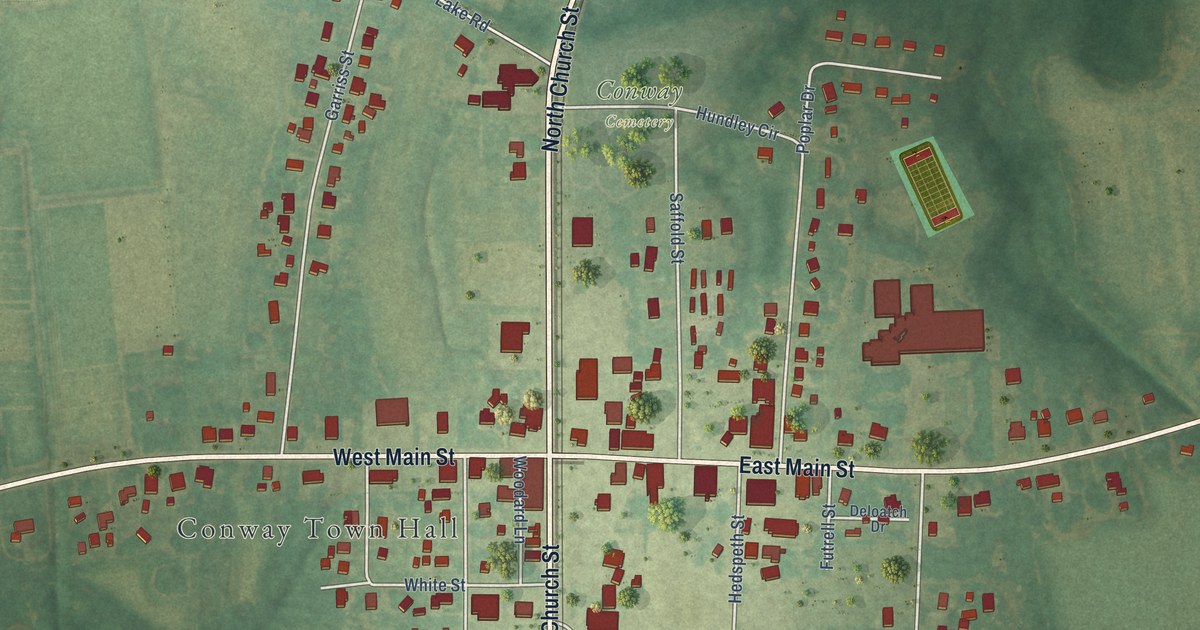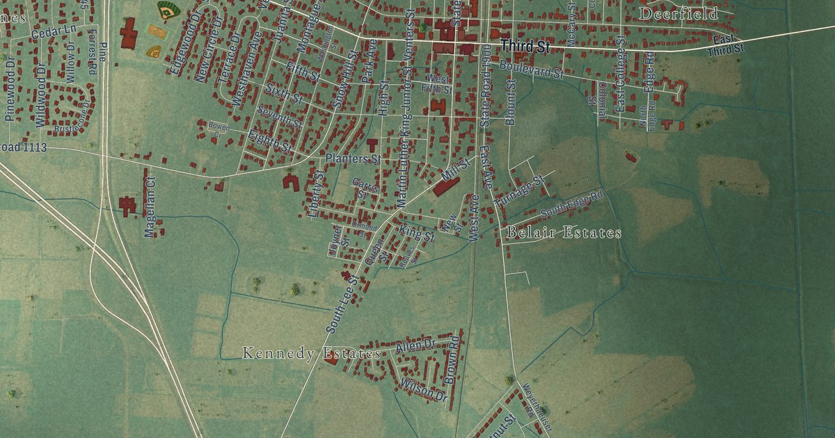
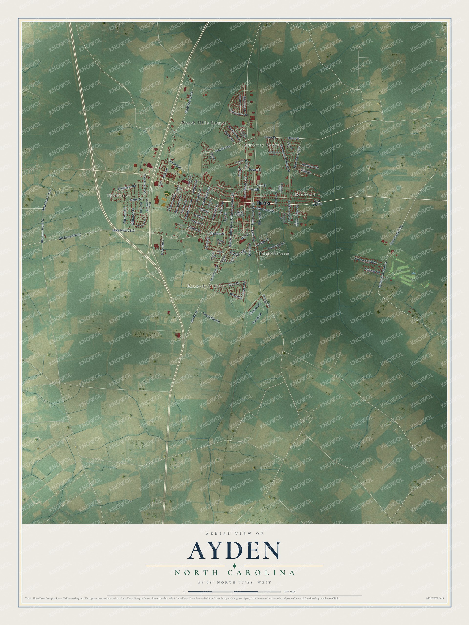
This beautifully detailed map of Ayden, North Carolina was created in 2026 using aerial imagery combined with modern topographical, census, street and landmark data. It's a modern aerial view of Ayden in Pitt County, North Carolina, that combines modern data with a vintage aesthetic. The roads feature printed names, and if you look closely you can find your exact house accurately shown in its correct location.
Explore an aerial view of Ayden, North Carolina
On this map you'll find The Pines, North Hills Estates, Strawberry Banks, Kennedy Estates, Belair Estates, Deerfield, Third Street, Juanita Avenue, Hines Street, Cedar Lane, Hines Drive, Snow Hill Street, and more. Each red shape is a building, so zoom in on the preview and look for yours.
Here is a piece of Ayden history, in the words of the record. The record at dncr.nc.gov puts it this way: "Atlantic Christian (now Barton College) opened in 1902; the following year the school in Ayden closed and the land and buildings were sold."
Ayden is a town in Pitt County. The Census Bureau counted 4,977 people here in 2020.
Take a closer look at the Ayden map
Names on this map
These names are printed on this map.
Places: The Pines, North Hills Estates, Strawberry Banks, Kennedy Estates, Belair Estates and Deerfield.
Streets and roads: Third Street, Juanita Avenue, Hines Street, Cedar Lane, Hines Drive, Snow Hill Street, East Avenue, Old Snow Hill Road, South Lee Street, First Street, Eighth Street, State Road 1149.
More street names, A to Z
Allen Drive, Ayden Golf Club Road, Ayden Place, Blount Street, Boulevard Street, Bowen Ci, Bristlecone Drive, Brown Road, Chestnut Street, Club Drive, Colonial Street, Countryaire Drive, Country Club Drive, Dover Drive, East College Street, East Third Street, Edge Road, Edgewood Drive, Fairmont Village Drive, Fairway Road, Fifth Street, Garris Street, George Drive, Gumberry Road, Hart Street, Highland Drive, High Street, Hill Road Circle, Jolly Road, Joyner Street, Juanita Street, King Street, Laurinburg Road, Lee Street, Liberty Street, Magellan Court, Martin Luther King Junior Street, McCary Street, Mill Street, Montague Avenue, New Circle Drive, New Street, Northeast College Street, North Edge Road, North Hills Drive, Old Nc 11, Orange Street, Ormond Street, Park Avenue, Pine Forrest Road, Pinewood Drive, Pitt Street, Planters Street, Pleasant Plain Road, Power Street, Queen Street, Reaves Street, Robin Road, Second Street, Seventh Street, Short Street, Sixth Street, South Edge Road, State Road 1111, State Road 1113, State Road 1120, State Road 1145, State Road 1719, State Road 1723, State Road 1900, Sunset Drive, Tamarack Drive, Terrace Drive, Thad Little Road, Turnage Street, Venters Street, Verna Avenue, Washington Street, Wellington Drive, West Avenue, West College Street, West Fifth Street, Westhaven Avenue, Weyerhaeuser Road, Wildwood Drive, Willow Drive, Wilson Drive.
Created by KNOWOL in 2026. The buildings are small red shapes, the roads carry their printed names, and shaded relief shows the shape of the land. The title panel reads "AERIAL VIEW OF AYDEN NORTH CAROLINA" with 35°28' NORTH 77°24' WEST.
It suits a den, a classroom or a front hall, and it makes a gift for anyone with Ayden roots. Open the preview and find the block you know. See sizes and frames for the Ayden map.