The KNOWOL atlas North CarolinaFind your place
North Carolina Map Prints
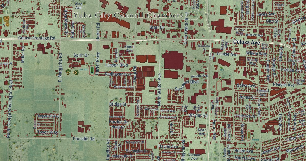
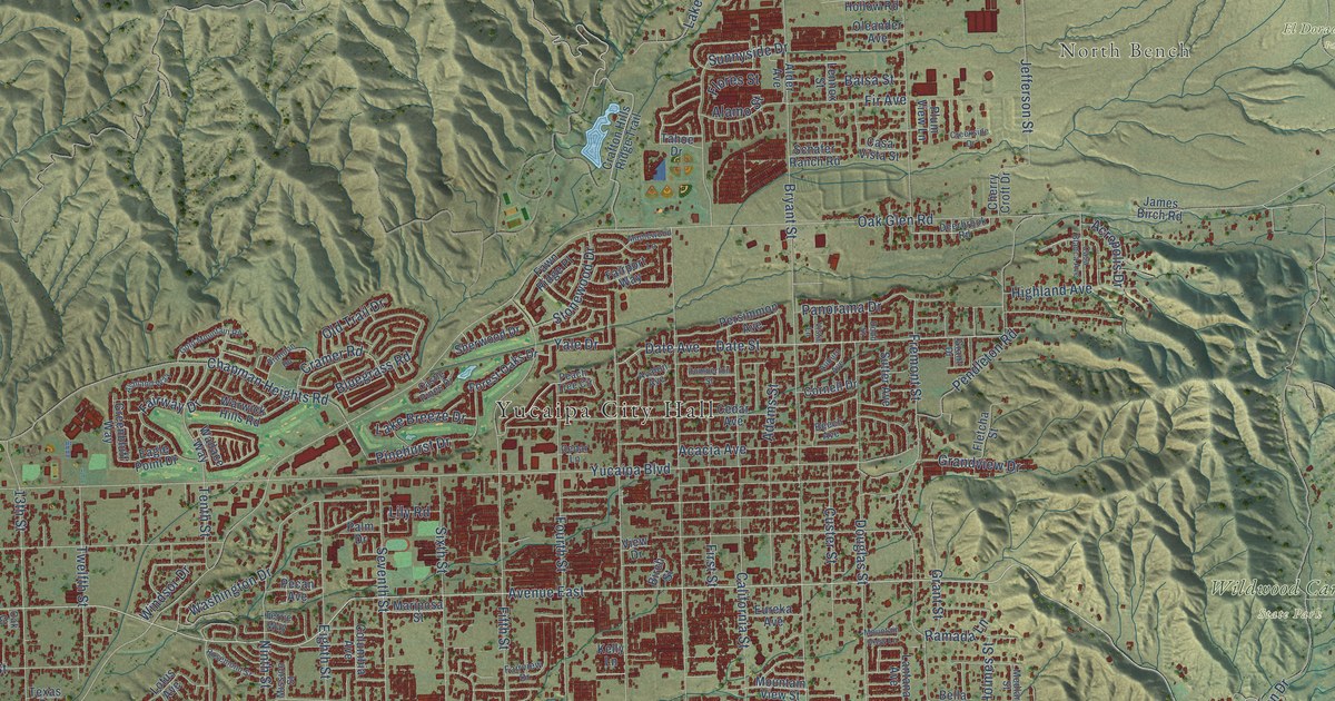
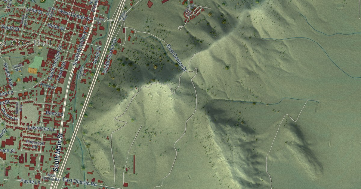
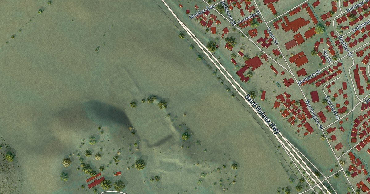
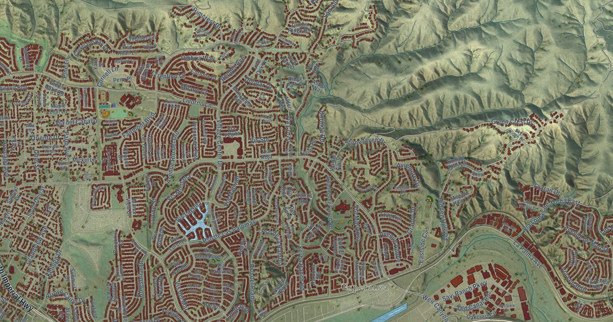
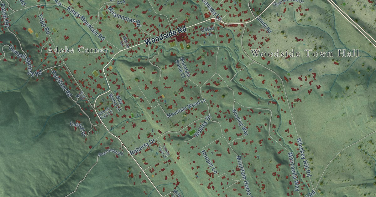
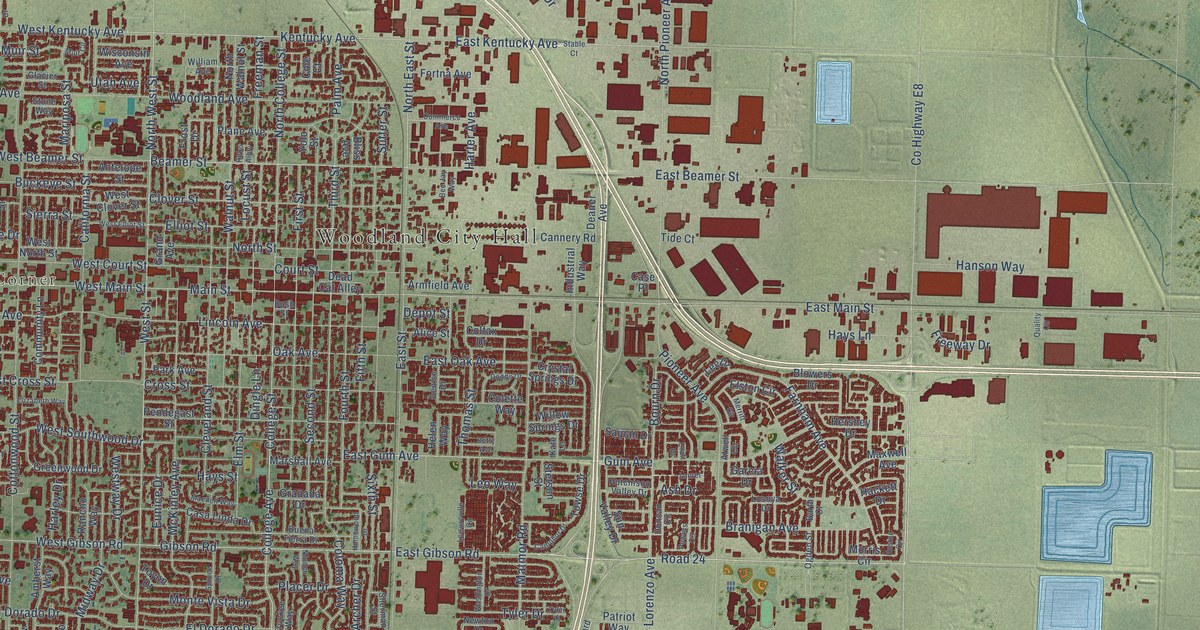
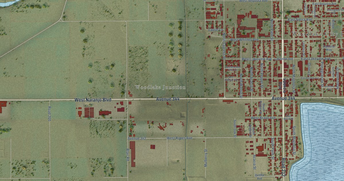
Find your town on this map of North Carolina, drawn with the detail and character of an old atlas, then look for your street.
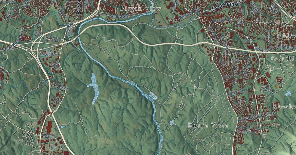
Buncombe CountyAsheville
↗Every place has a story
Let’s find yours.
Find your town on the map,
or search it by name.
Alamance County
Alexander County
Alleghany County
Anson County
Ashe County
Avery County
Beaufort County
Bertie County
Bladen County
Brunswick County
Buncombe County
Burke County
Cabarrus County
Caldwell County
Carteret County
Caswell County
Catawba County
Chatham County
Cherokee County
Chowan County
Clay County
Cleveland County
Columbus County
Craven County
Cumberland County
Currituck County
Dare County
Davidson County
Davie County
Duplin County
Durham County
Edgecombe County
Forsyth County
Franklin County
Gaston County
Gates County
Graham County
Granville County
Greene County
Guilford County
Halifax County
Harnett County
Haywood County
Henderson County
Hertford County
Hoke County
Iredell County
Jackson County
Johnston County
Jones County
Lee County
Lenoir County
Lincoln County
Macon County
Madison County
Martin County
McDowell County
Mecklenburg County
Mitchell County
Montgomery County
Moore County
Nash County
New Hanover County
Northampton County
Onslow County
Orange County
Pamlico County
Pasquotank County
Pender County
Perquimans County
Person County
Pitt County
Polk County
Randolph County
Richmond County
Robeson County
Rockingham County
Rowan County
Rutherford County
Sampson County
Scotland County
Stanly County
Stokes County
Surry County
Swain County
Transylvania County
Tyrrell County
Union County
Vance County
Wake County
Warren County
Washington County
Watauga County
Wayne County
Wilkes County
Wilson County
Yadkin County
Yancey County
Your place might still be on its way.
Try another spelling, choose a different county, or reset your search.
Request a map of your town ↗Each place opens its map.Take a little detour ↓
Worth a closer look
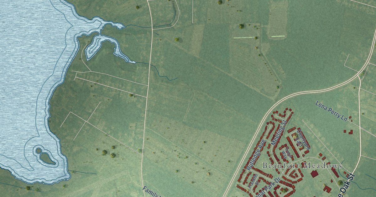
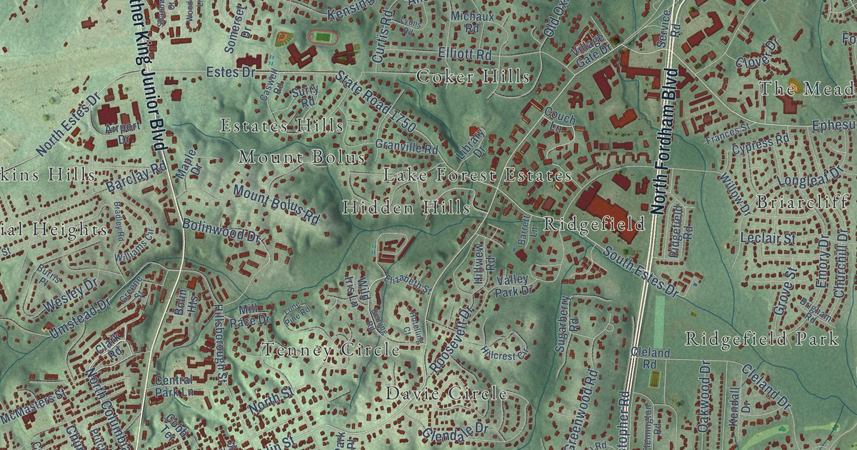
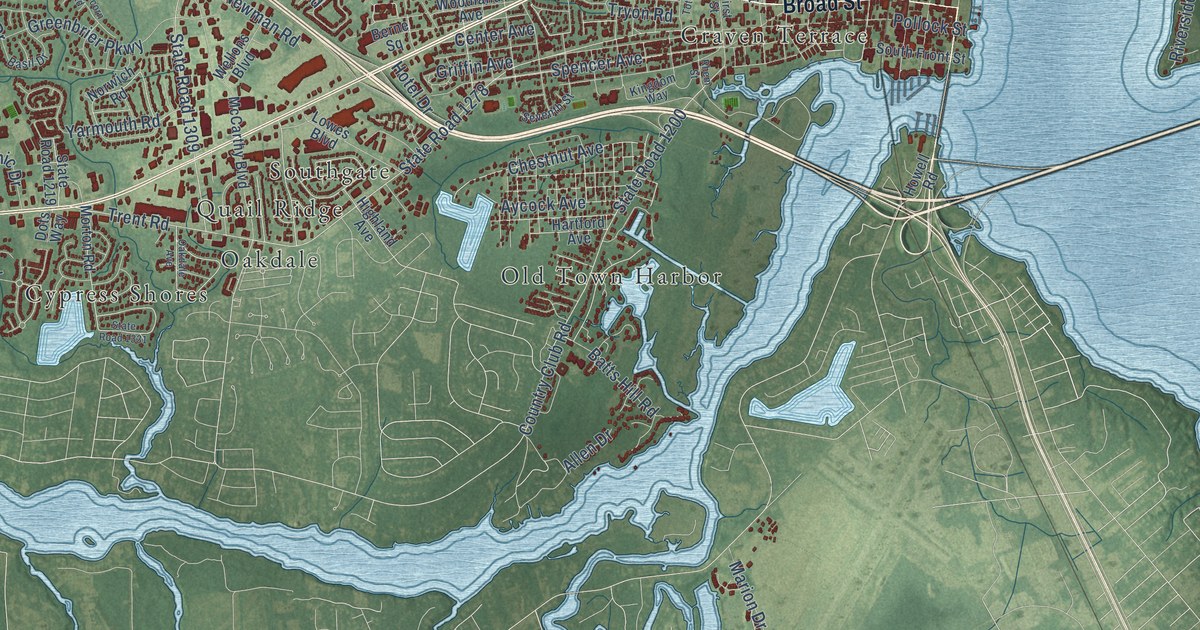
A few places to begin.
Follow a familiar street. Find a new favorite. There is a story in the detail.
Made for the place you love
A little closer.
A little more familiar.
A bend in the river. The street you grew up on. The shape of the town you still call home. A map brings those small, familiar things together in one place.
- 01Start with the real place.
Streets, buildings, terrain, and water form the map.
- 02Bring the details together.
Local research and an old atlas style give each place its character.
- 03Make room for home.
Explore the map, then choose a print to keep or give.
North Carolina, one place at a time.Find your town ↑