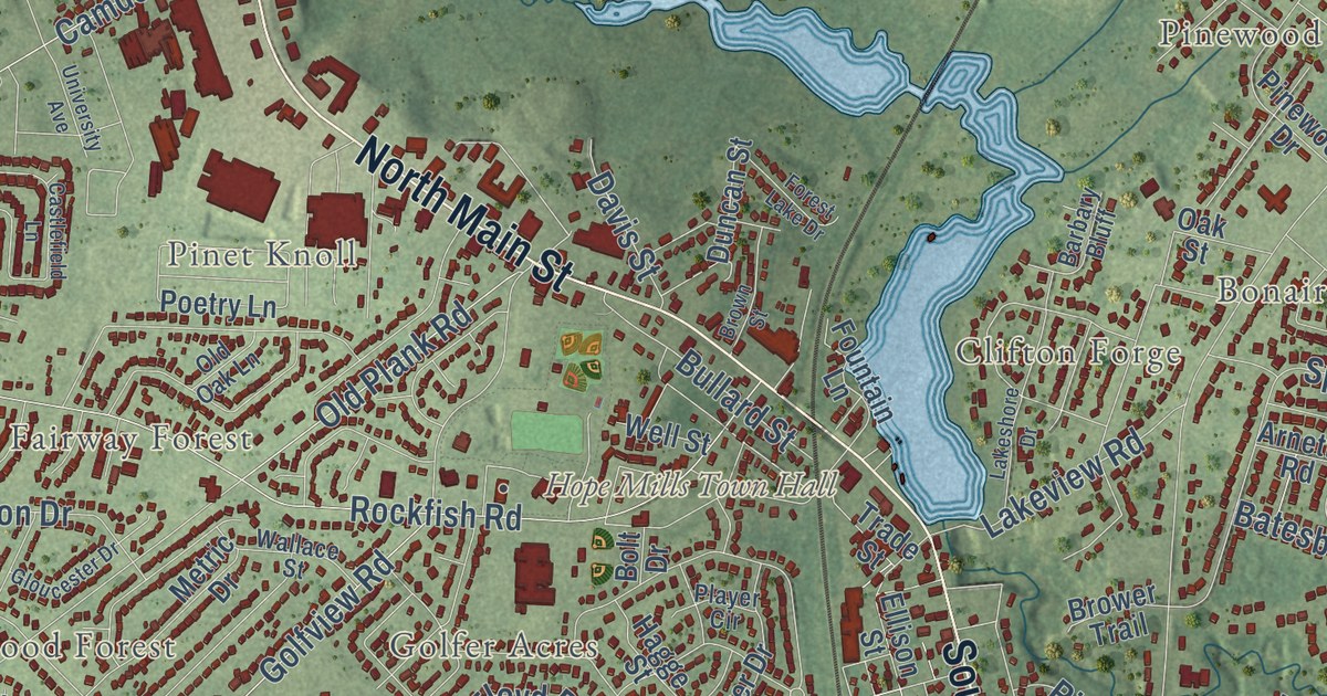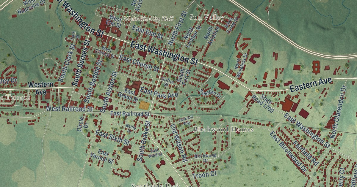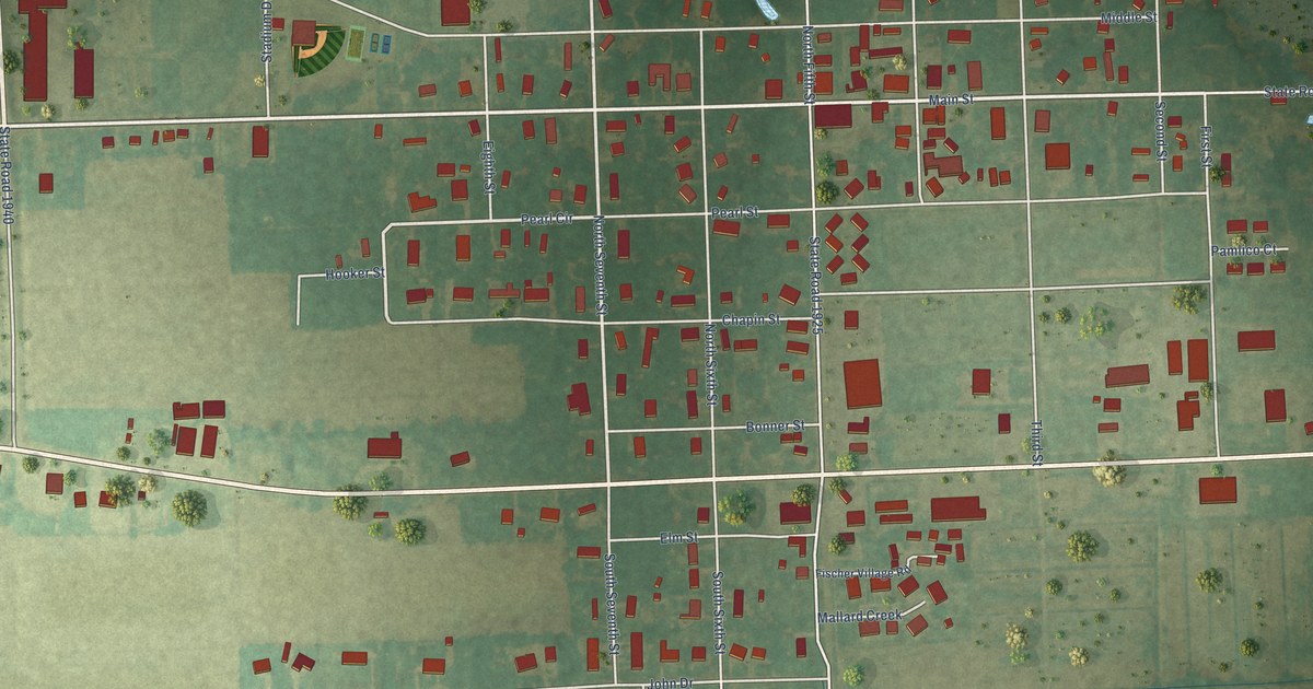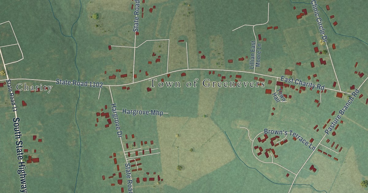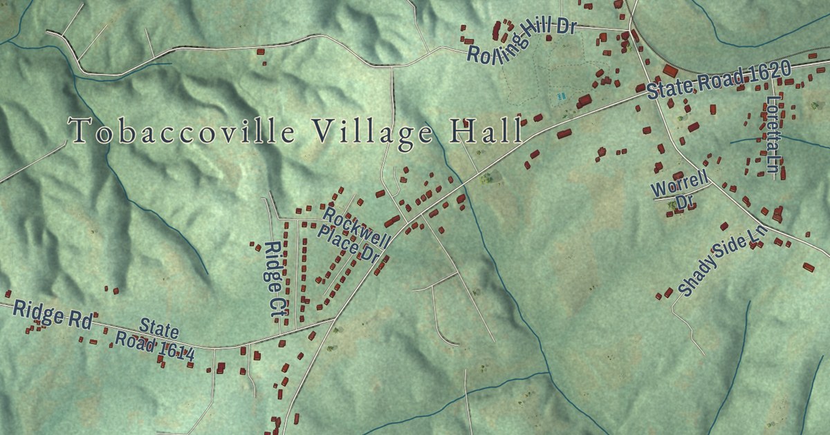
This beautifully detailed map of Tobaccoville, North Carolina was created in 2026 using aerial imagery combined with modern topographical, census, street and landmark data. It’s a one-of-a-kind view of Tobaccoville that combines accurate data with a vintage aesthetic. The map shows every building in its true location, many of the roads carry their names, and the shaded topographic relief shows the shape of the land.
Explore an aerial view of Tobaccoville, North Carolina
On the map you’ll find Tobaccoville Village Hall, Creek View, and Dozier, along with Reynolda Road, Bethania Tobaccoville Road, Griffin Road, King-Tobaccoville Road, State Road 1821, Shore Road, Tobaccoville Road, State Road 1465, State Road 1620, and more. If you look closely you can even find your house accurately drawn in its correct location. Zoom in on the preview to look for yours.
Did you know this about Tobaccoville, North Carolina?
From Forsyth: A County on the March: "West of Rural Hall is the small settlement of Tobaccoville, the only location in the state bearing the name of the famous weed that has brought so much wealth to Virginia and the Carolinas."
Take a closer look at the Tobaccoville map
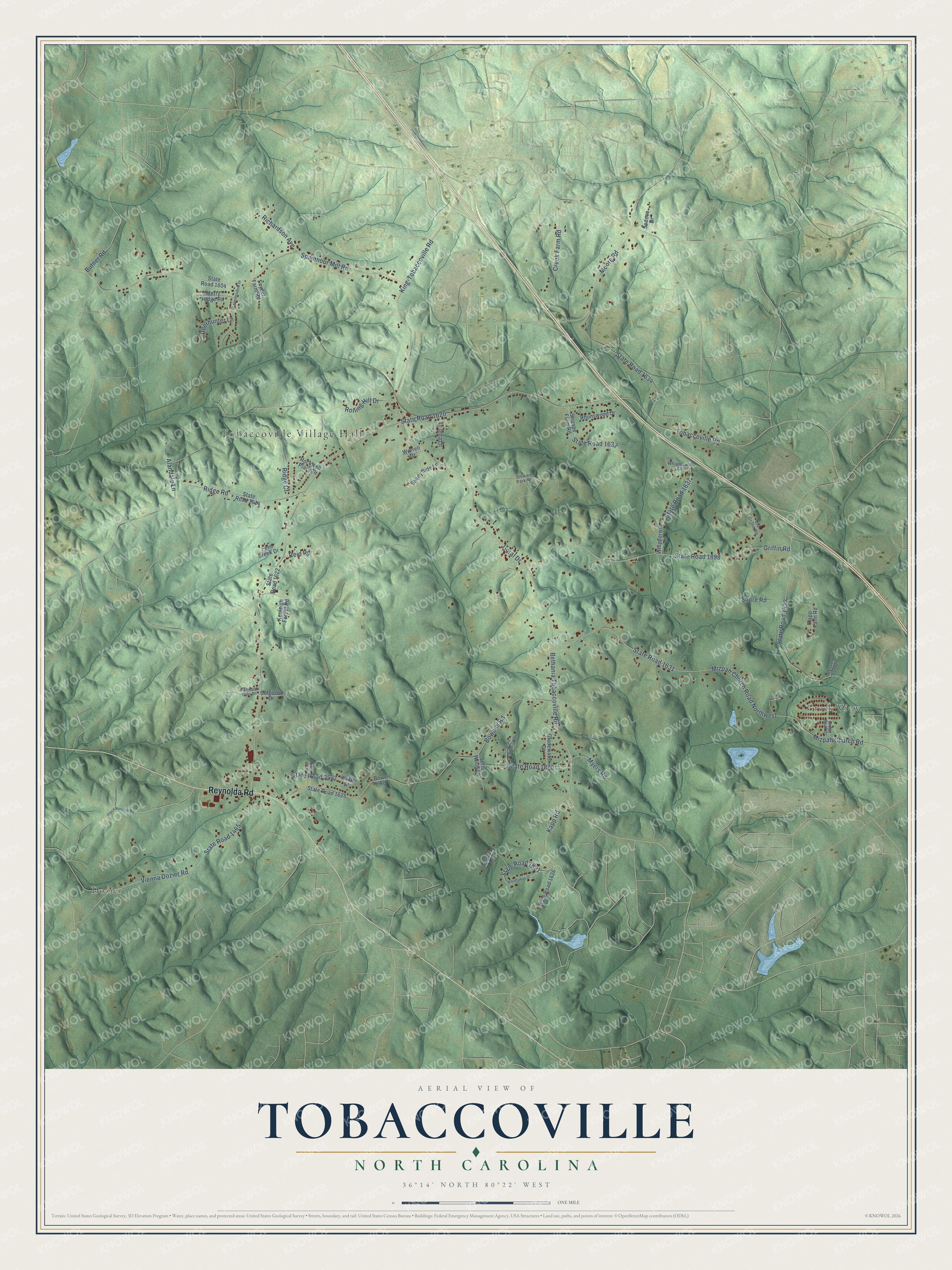
Street and place names on the Tobaccoville, North Carolina map
These names are printed on the map of Tobaccoville, North Carolina.
Places: Tobaccoville Village Hall, Creek View and Dozier.
Streets and roads: Reynolda Road, Bethania Tobaccoville Road, Griffin Road, King-Tobaccoville Road, State Road 1821, Shore Road, Tobaccoville Road, State Road 1465, State Road 1620, Doral Drive, State Road 1631, Spainhour Mill Road.
More street names, A to Z
Alandale Lane, Beaver Dam Lane, Belgrove Drive, Bowen Road, Bowens Road, Butner Road, Creek Farm Road, Deerhunter Lane, Fern Creek Drive, Gladewater Drive, Greenmeadow Drive, Isaac Street, Joyce Norman Road, Kapp Farm Road, Kapp Road, Kenleigh Forest Road, Loretta Lane, Merry Ridge Road, Mizpah Church Road, Mizpah Church Road Northwest, Moore Road, Myers Road, Old Griffin Road, Poplar Lane, Reid Road, Rhonswood Drive, Richardson Avenue, Richmond Oaks Road, Ridge Bluff Drive, Ridge Court, Ridge Road, Rockwell Place Drive, Rolling Hill Drive, Sedeca Drive, Settle Wood Lane, Shady Side Lane, Snyder Farm Road, State Road 1604, State Road 1614, State Road 1622, State Road 1625, State Road 1626, State Road 1632, State Road 1633, State Road 1634, State Road 1637, State Road 1870, State Road 1873, State Road 1898, State Road 3947, Stewart Park Road, Stroupe Farm Road, Vienna Dozier Road, Watts Street, Whipporwill Court, Whipporwill Lane, Woodsway Drive, Worrell Drive.
See the Tobaccoville, North Carolina map on a wall
The Tobaccoville map as an 18 x 24 inch print in a black frame.

This beautifully detailed map of Tobaccoville makes an attractive addition to your office, library, or den, and it can even be used to teach children the geography and history of the area. It also makes a great gift for anyone who grew up in Tobaccoville or moved away. When you’re done exploring, click here to get your copy of the Tobaccoville map.