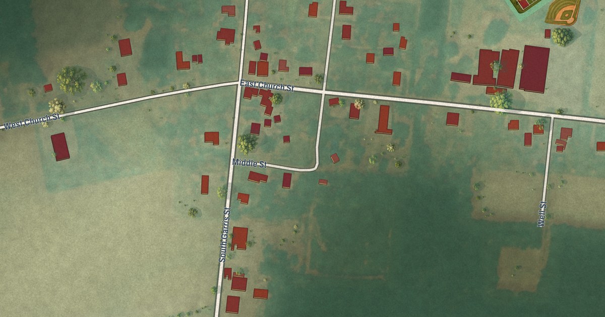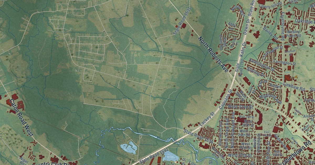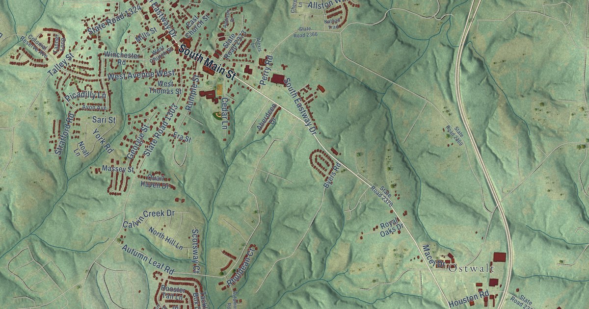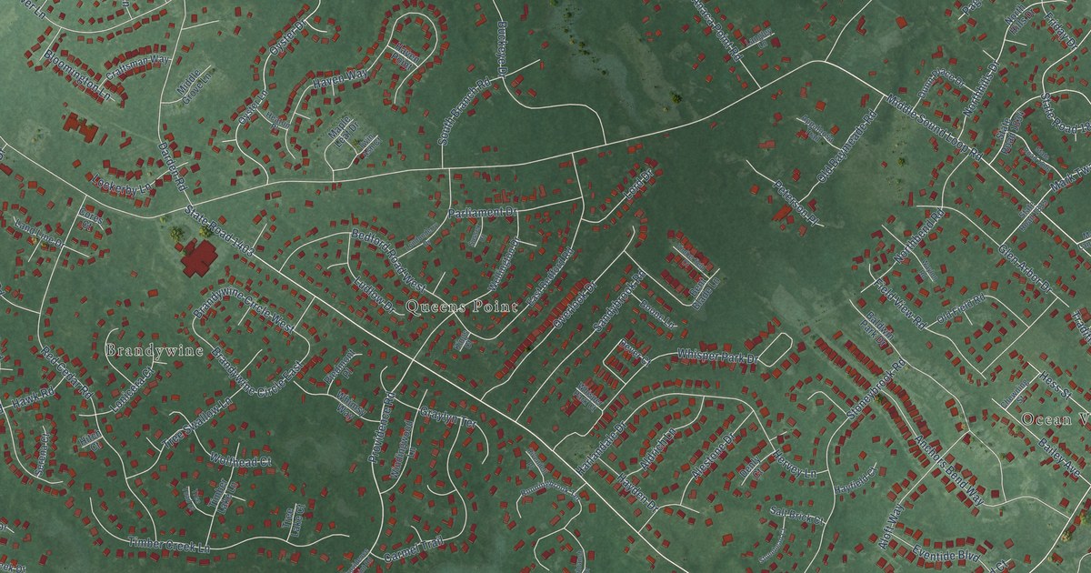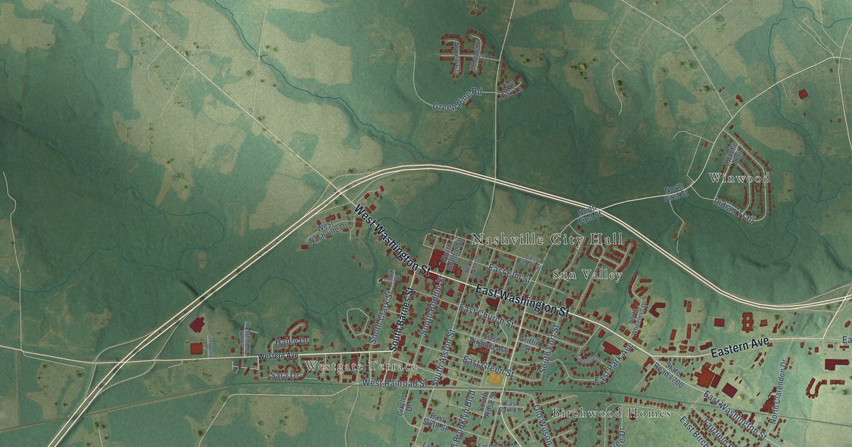
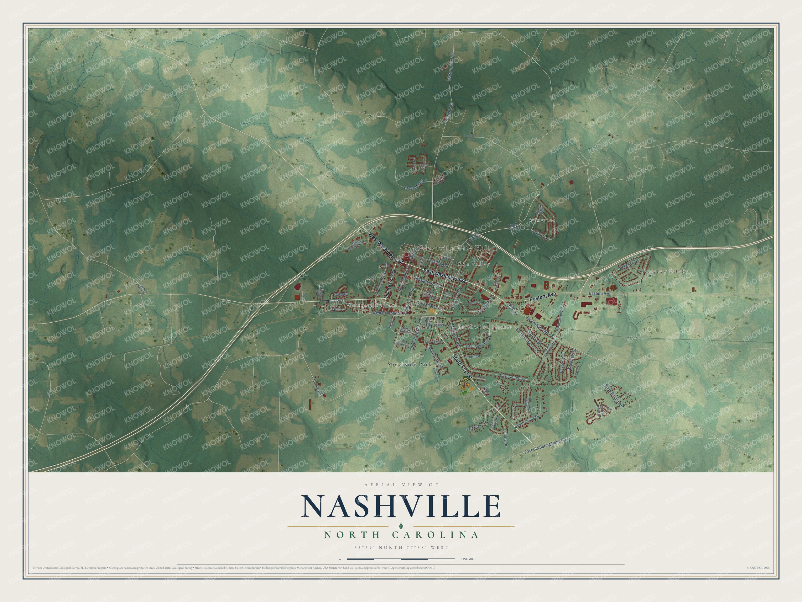
This beautifully detailed map of Nashville, North Carolina was created in 2026 using aerial imagery combined with modern topographical, census, street and landmark data. It's a modern aerial view of Nashville in Nash County, North Carolina, that combines modern data with a vintage aesthetic. The roads feature printed names, and if you look closely you can find your exact house accurately shown in its correct location.
Explore an aerial view of Nashville, North Carolina
On this map you'll find Nashville City Hall, Regency Estates, Westgate Terrace, Birchwood Homes, Southside Park, Sun Valley, Winwood, East Washington Street, West Washington Street, South First Street, Eastern Avenue, South Clark Street, and more. Each red shape is a building, so zoom in on the preview and look for yours.
Every town has a first chapter, and Nashville is no exception. The North Carolina Gazetteer puts it this way: "Nashville town and county seat, central Nash County. Authorized to be laid out and est., 1815. Named for Gen. Francis Nash (1742-77), Revolutionary War officer killed at Germantown."
Nashville is a town in Nash County. The Census Bureau counted 5,632 people here in 2020.
Take a closer look at the Nashville map
Names on this map
These names are printed on this map.
Places: Nashville City Hall, Regency Estates, Westgate Terrace, Birchwood Homes, Southside Park, Sun Valley and Winwood.
Streets and roads: East Washington Street, West Washington Street, South First Street, Eastern Avenue, South Clark Street, South Alston Street, Indian Trail, Old Wilson Road, East Green Street, State Road 1435, Womble Road, Regency Drive.
More street names, A to Z
Apache Trail, Aspen Court, Bayberry Court, Breedlove Road, Circle Drive, Clark Street, Cooke Road, Cross Creek Drive, East Baker Street, East Beechtree Drive, East Birchwood Drive, East Cedar Street, East Church Street, East Elm Street, East Essex Road, East Golfers Lane, East Old Spring Hope Road, East Park Avenue, East Sixth Street, East Southside Drive, East Vernon Street, East Virginia Avenue, East Ward Street, Elderberry Court, Fairfield Road, Green Pine Road, Griffin Street, Haley Drive, Hearthstone Drive, Hurt Court, Industry Court, Laurel Spring Drive, Liberty Drive, Live Oak Lane, North Alston Street, North Boddie Street, North Clarendon Drive, North First Street, North Wheeless Drive, Par Drive, Prestwick Drive, Saint Annes Road, Sara Drive, Scott Court, Simbelyn Drive, South Barnes Street, South Boddie Street, South Brake Street, South Brooklyn Boulevard, South Clarendon Drive, South Creek Drive, South Fort Street, South Lakeview Drive, South Rose Street, State Road 1301, State Road 1700, State Road 1807, Trinity Drive, Troon Court, Village Lane, Western Avenue, West Nashville Drive, West Railroad Street, Woodfield Drive.
Created by KNOWOL in 2026. The buildings are small red shapes, the roads carry their printed names, and shaded relief shows the shape of the land. The title panel reads "AERIAL VIEW OF NASHVILLE NORTH CAROLINA" with 35°59' NORTH 77°58' WEST.
Hang it in the hallway, the office or the cabin, or give it to someone who left Nashville and still calls it home. Open the preview and look for a street you know. See sizes and frames for the Nashville map.