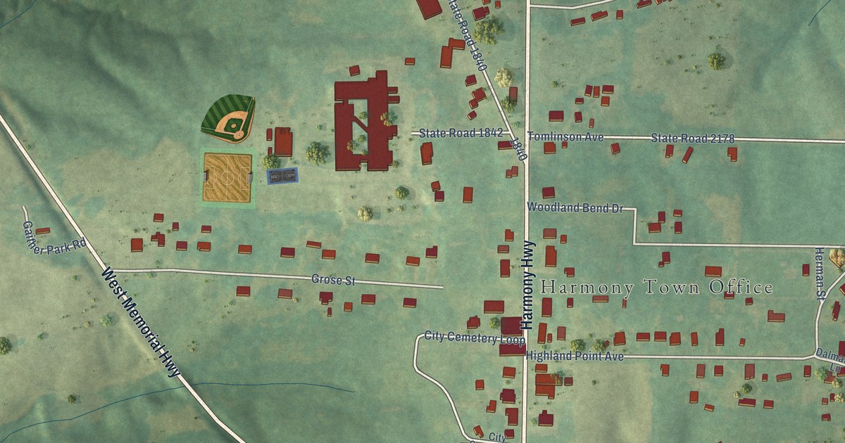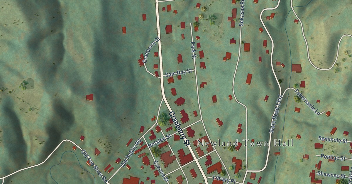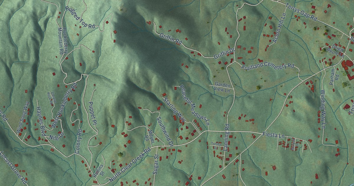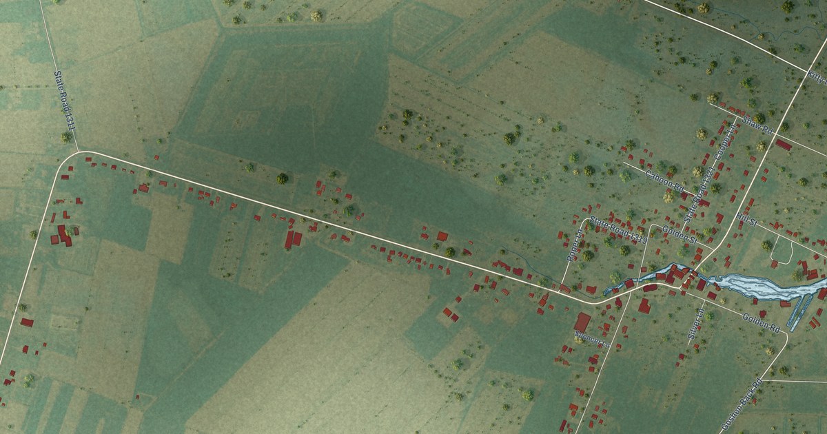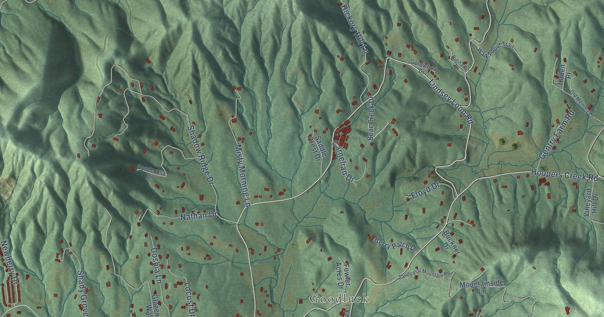
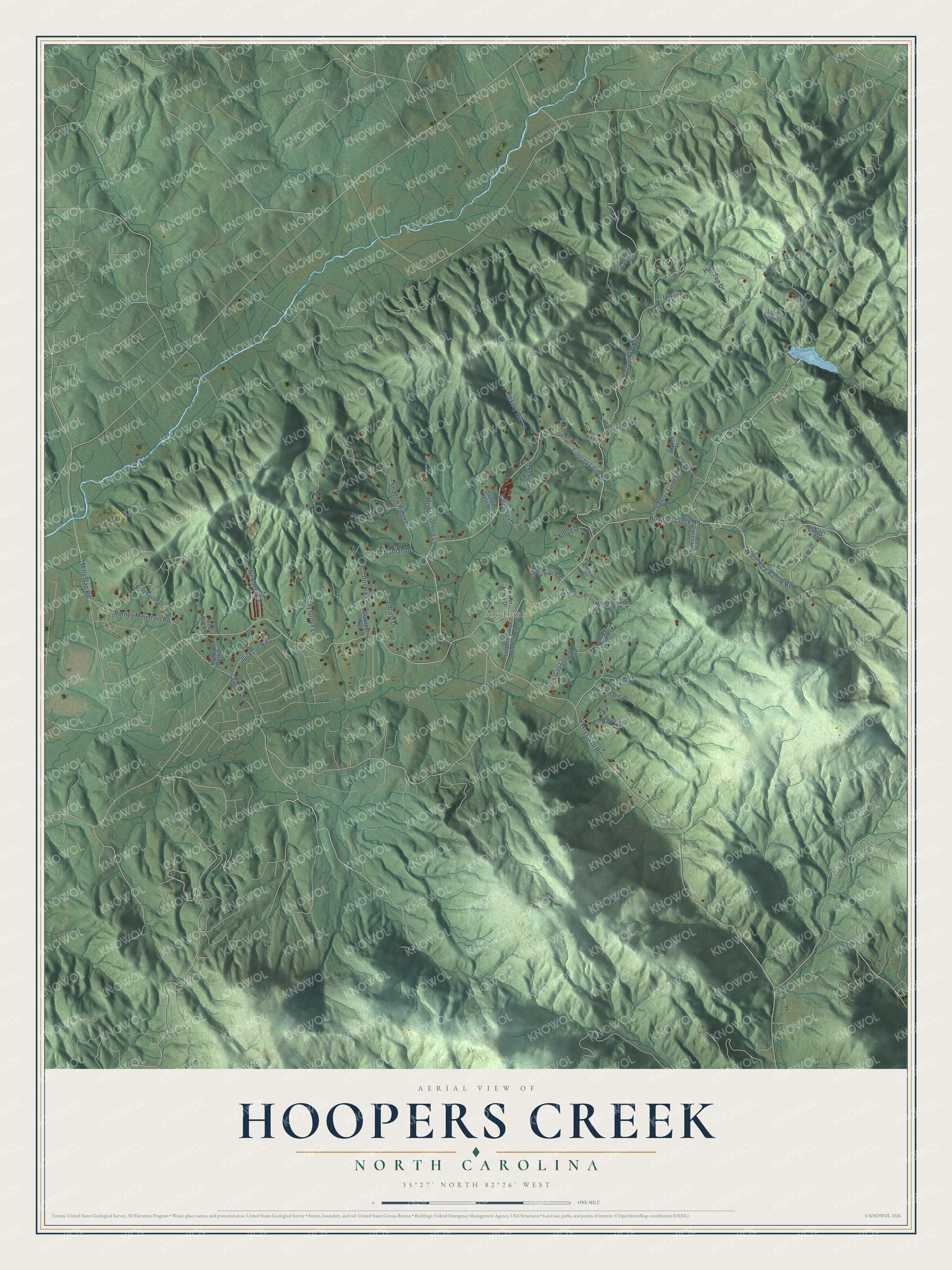
This beautifully detailed map of Hoopers Creek, North Carolina was created in 2026 using aerial imagery combined with modern topographical, census, street and landmark data. It's a modern aerial view of Hoopers Creek in Henderson County, North Carolina, that combines modern data with a vintage aesthetic. The roads feature printed names, and if you look closely you can find your exact house accurately shown in its correct location.
Explore an aerial view of Hoopers Creek, North Carolina
On this map you'll find Goodluck, Lindsey Loop Road, North Bearwallow Road, Hoopers Creek Road, Youngs Gap Road, Terrys Gap Road, High Top Drive, Shadow Ridge Drive, Terrys Gap Loop Road, Carnelian Drive, Misty Morning Lane, Shady Grove Lane, and more. Each red shape is a building, so zoom in on the preview and look for yours.
Here is a piece of Hoopers Creek history. Hoopers Creek and Clear Creek townships led Henderson County in voting for the stock law, which kept livestock behind fences. Their farmers raised more crops than most and were tired of fencing in their fields, so they won a township election and a special tax to build fences between them and the rest of the county. Other townships saw how well it worked and petitioned to do the same. That's from the Henderson County historian Frank FitzSimons.
Hoopers Creek is a community in Henderson County. The Census Bureau counted 1,074 people here in 2020.
Take a closer look at the Hoopers Creek map
Names on this map
These names are printed on this map.
Places: Goodluck.
Streets and roads: Lindsey Loop Road, North Bearwallow Road, Hoopers Creek Road, Youngs Gap Road, Terrys Gap Road, High Top Drive, Shadow Ridge Drive, Terrys Gap Loop Road, Carnelian Drive, Misty Morning Lane, Shady Grove Lane, Jackson Road.
More street names, A to Z
Bear Creek Drive, Berry Patch Drive, Buchanan Drive, Buckner Drive, Burney Mountain Road, Conifer Court, Doshia Lane, Floyd Drive, Fowler Acres Drive, Fowler Lane, Fox Gap Trail, Gentry Farm Road, Glazeners Way, Goldwood Drive, Haden Place, Hickory Hill Lane, Hoopers Creek Church Road, June Bug Lane, Kelseys Park Drive, Locust Drive, Lower Loop Drive, Melton Drive, Mills Gap Road, Mountainside Lane, Nathan Drive, Newberry Drive, Old Memory Lane, Pauls Drive, Pharis Place, Ponderosa Drive, Rocky Top Ridge Drive, Saddle Crest Drive, Sandy Flat Mountain Road, Shady Cove Road, Souther Road, Strong Lane, Vineyard Hill Drive, Walk About Trail, Winghaven Drive.
See it on a wall
The Hoopers Creek map as a framed print. Swipe for more.


Created by KNOWOL in 2026. The buildings are small red shapes, the roads carry their printed names, and shaded relief shows the shape of the land. The title panel reads "AERIAL VIEW OF HOOPERS CREEK, NORTH CAROLINA" with 35°27' NORTH 82°26' WEST.
It suits a den, a classroom or a front hall, and it makes a gift for anyone with Hoopers Creek roots. Open the preview and find the block you know. See sizes and frames for the Hoopers Creek map.