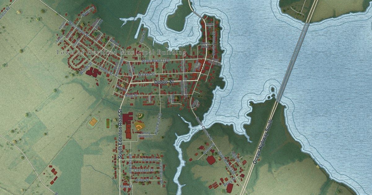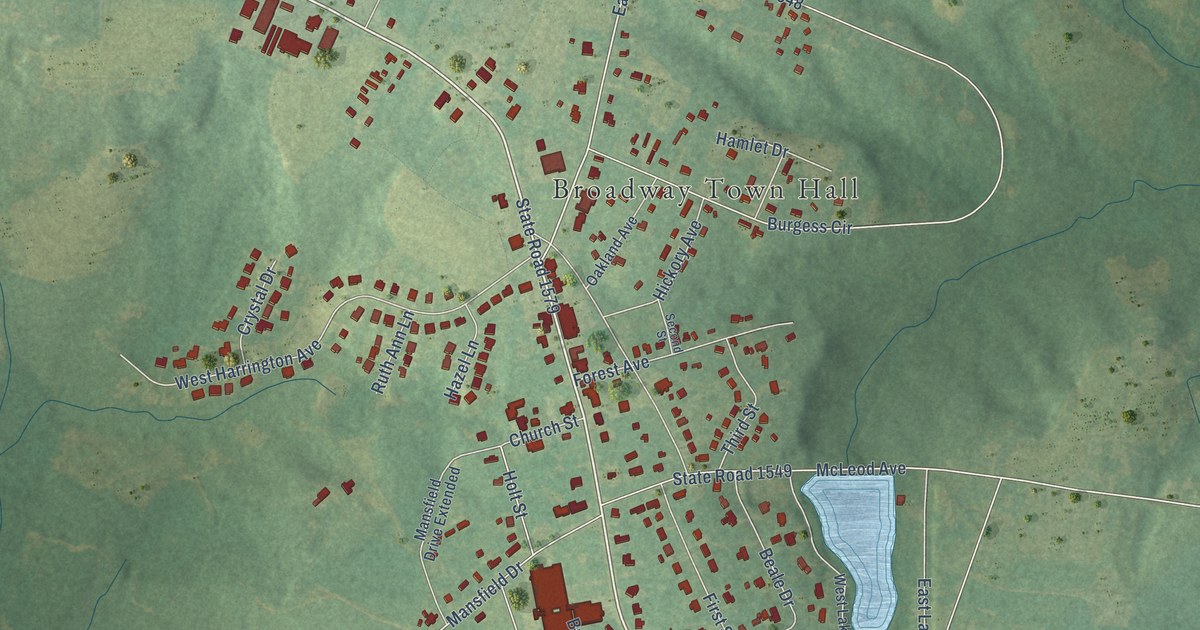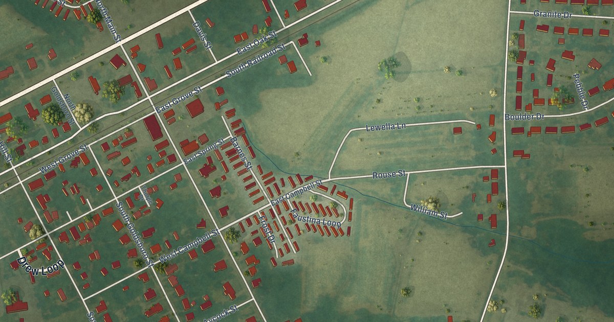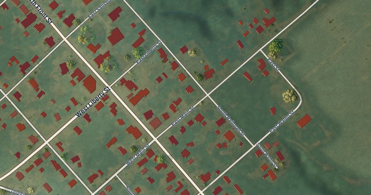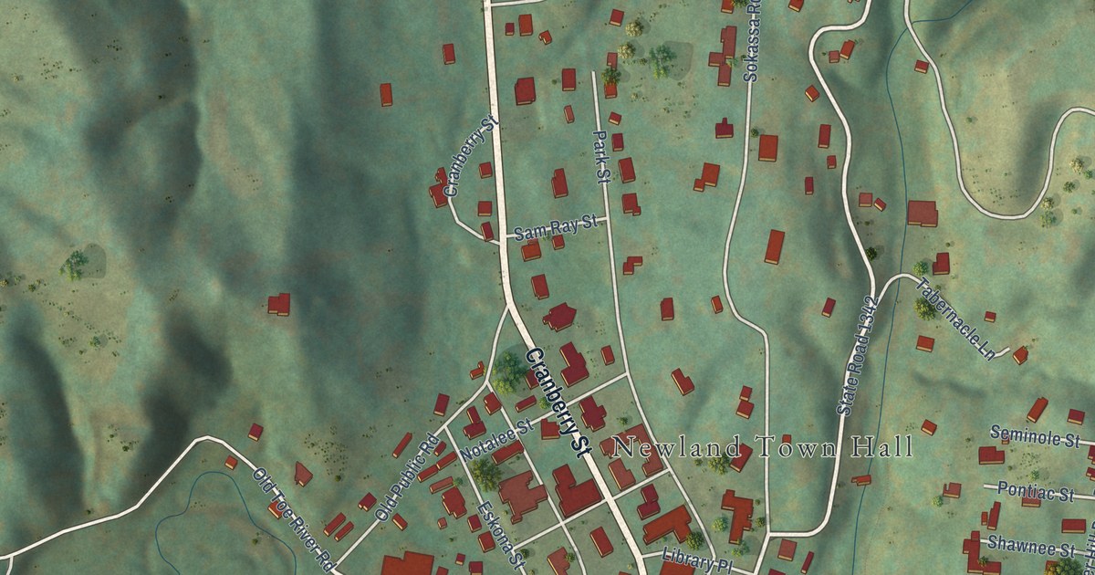
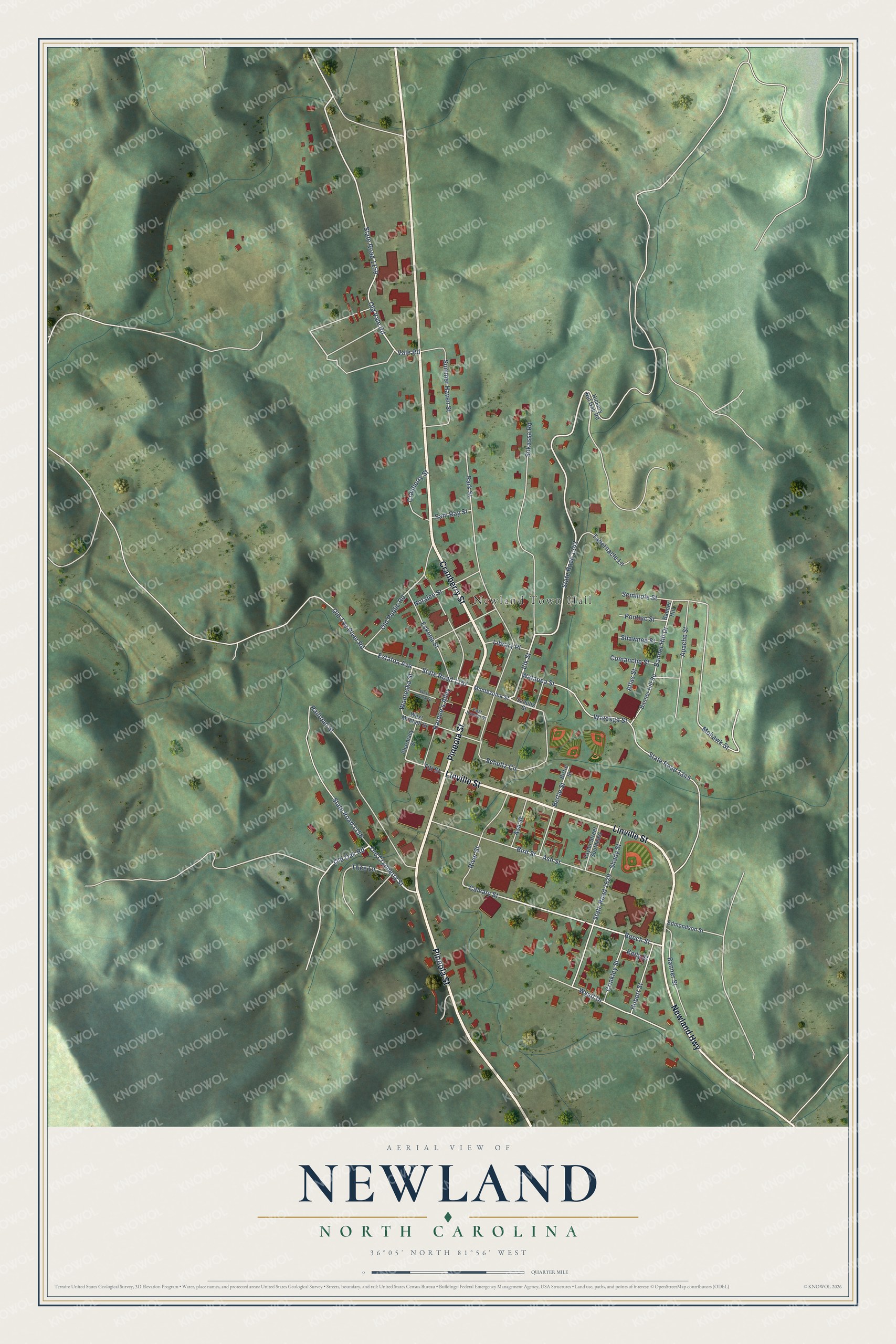
This beautifully detailed map of Newland, North Carolina was created in 2026 using aerial imagery combined with modern topographical, census, street and landmark data. It's a modern aerial view of Newland in Avery County, North Carolina, that combines modern data with a vintage aesthetic. The roads feature printed names, and if you look closely you can find your exact house accurately shown in its correct location.
Explore an aerial view of Newland, North Carolina
On this map you'll find Newland Town Hall, Cranberry Street, Pineola Street, Linville Street, Newland Highway, State Road 1529, Old Toe River Road, Estatoa Avenue, Elk Street, State Road 1156, Beech Street, State Road 1159, and more. Each red shape is a building, so zoom in on the preview and look for yours.
Newland has a story worth telling. The record at ncpedia.org puts it this way: "Newland, the county seat, was incorporated in 1913 and named for William Calhoun Newland , the lieutenant governor of North Carolina from 1909 to 1913."
Newland is a town in Avery County. The Census Bureau counted 715 people here in 2020.
Take a closer look at the Newland map
Names on this map
These names are printed on this map.
Places: Newland Town Hall.
Streets and roads: Cranberry Street, Pineola Street, Linville Street, Newland Highway, State Road 1529, Old Toe River Road, Estatoa Avenue, Elk Street, State Road 1156, Beech Street, State Road 1159, Old Oak Road.
More street names, A to Z
Apache Street, Asa Street, Ash Street, Atlas Street, Banner Hill, Banner Hill Drive, Banner Hill Road, Banner Street, Bertie Street, Bird Street, Birtie Street, Calvary Street, Comanche Street, Crinkley Street, East Journal Street, Edmondson Street, Eskona Street, Hardee's Alley, Hickory Nut Gap Road, Hubert Street, Kelly Street, Library Place, Mohawk Street, Montezuma Street, Notalee Street, Old Cranberry Street, Old Public Road, Old Vale Road, Park Street, Pharmacy Street, Pontiac Street, Railroad Street, River Street, Sam Ray Street, Schultz Circle, Schultz Street, Seminole Street, Shady Street, Shawnee Street, Sokassa Road, State Road 1157, State Road 1342, State Road 1345, Summer Haven Street, Tabernacle Lane, Taylor Street Southeast, Titi Street, Trice Lane, Vale Road, Wanteska Street, Watauea Street, Watauga Street, West Journal Street, West Mitchell Street, Wyatt Drive.
Created by KNOWOL in 2026. The buildings are small red shapes, the roads carry their printed names, and shaded relief shows the shape of the land. The title panel reads "AERIAL VIEW OF NEWLAND NORTH CAROLINA" with 36°05' NORTH 81°56' WEST.
It looks right in a kitchen, an office or a den, and it's a gift for anyone who grew up in Newland or moved away. Open the preview and find your street. See sizes and frames for the Newland map.