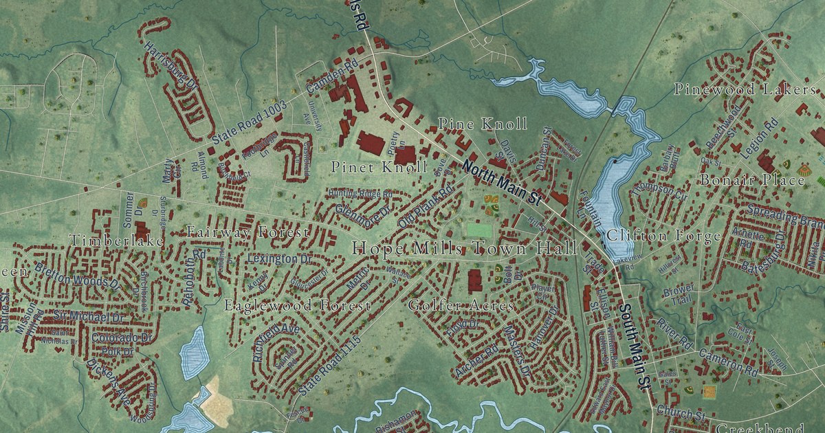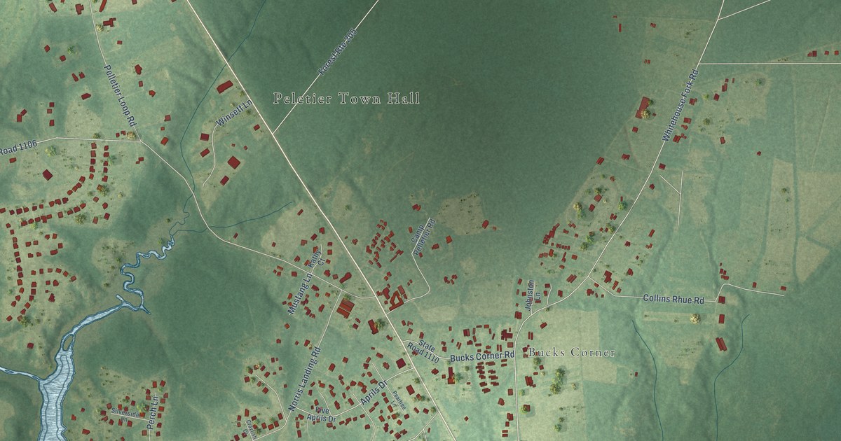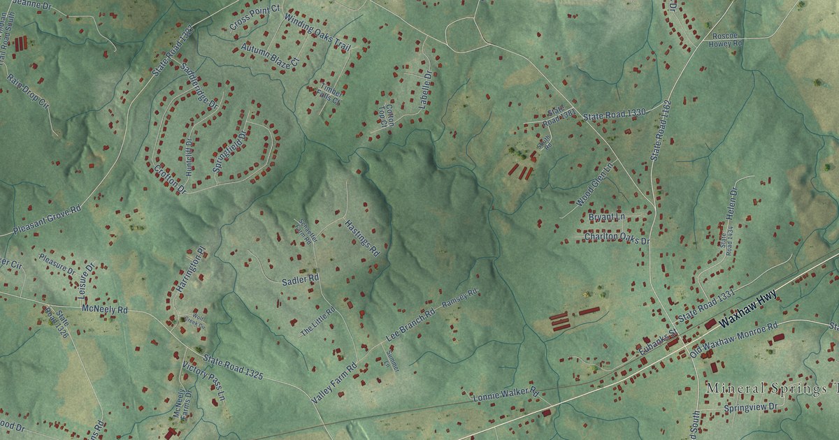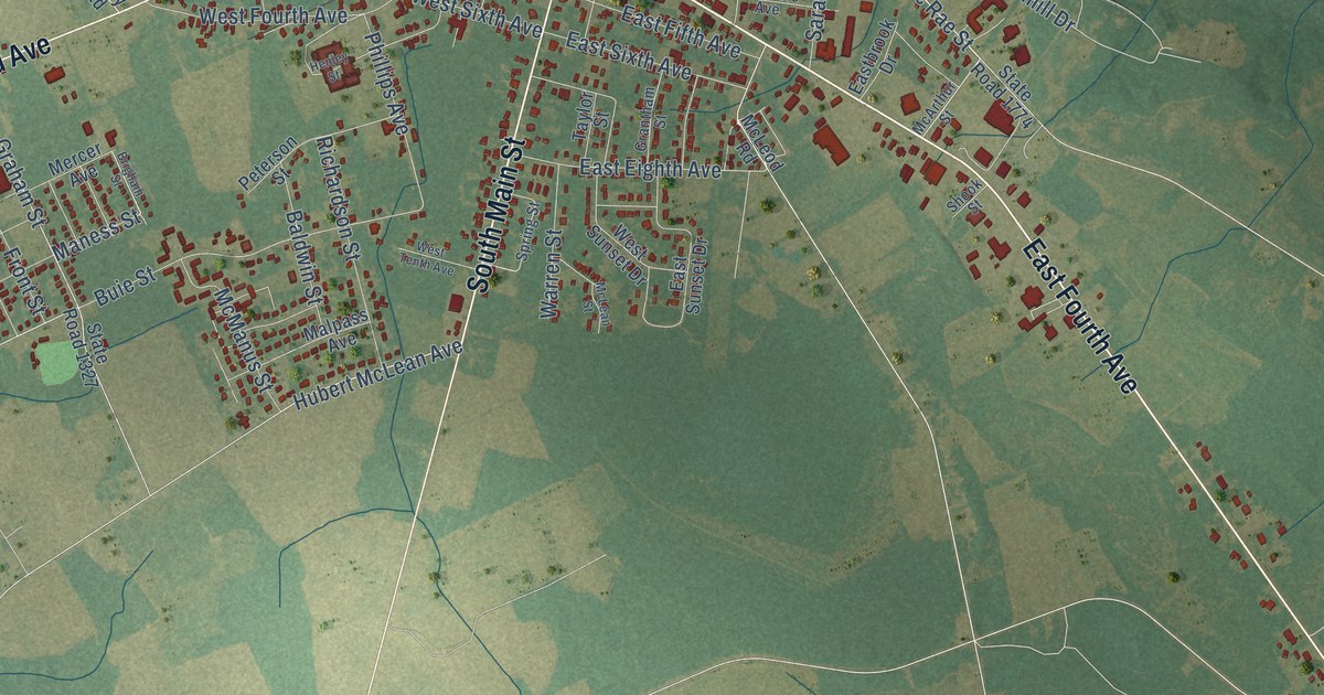
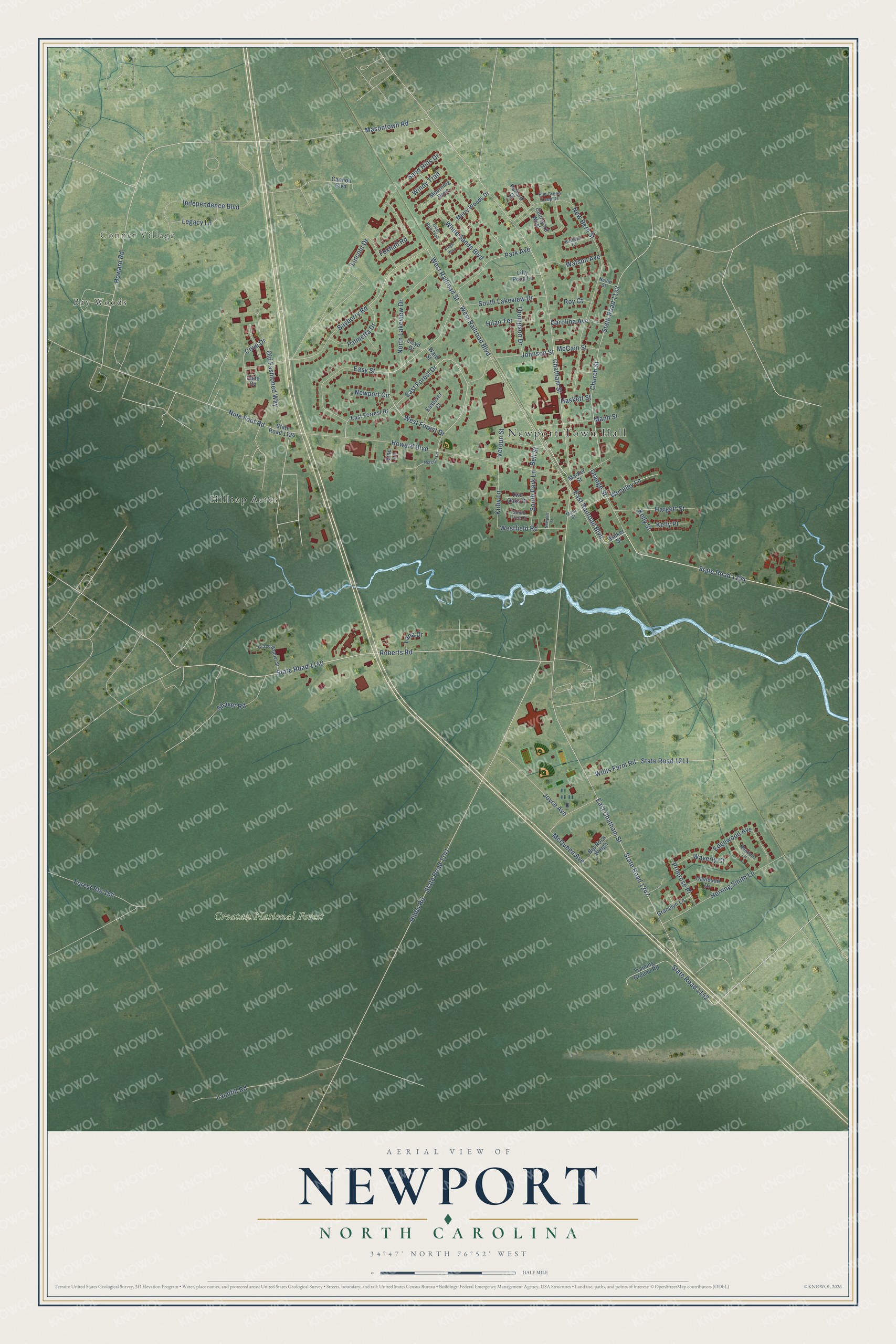
This beautifully detailed map of Newport, North Carolina was created in 2026 using aerial imagery combined with modern topographical, census, street and landmark data. It's a modern aerial view of Newport in Carteret County, North Carolina, that combines modern data with a vintage aesthetic. The roads feature printed names, and if you look closely you can find your exact house accurately shown in its correct location.
Explore an aerial view of Newport, North Carolina
On this map you'll find Newport Town Hall, Conner Village, Croatan National Forest, Bay Woods, Hilltop Acres, West Railroad Boulevard, State Road 1154, East Railroad Boulevard, West Railroad Street, Bayberry Road, State Road 1140, Roberts Road, and more. Each red shape is a building, so zoom in on the preview and look for yours.
Every town has a first chapter, and Newport is no exception. The record at dncr.nc.gov puts it this way: "The 7th Regiment North Carolina Infantry built Newport Barracks south of Newport for quarters in the winter of 1861-1862."
Newport is a town in Carteret County. The Census Bureau counted 4,364 people here in 2020.
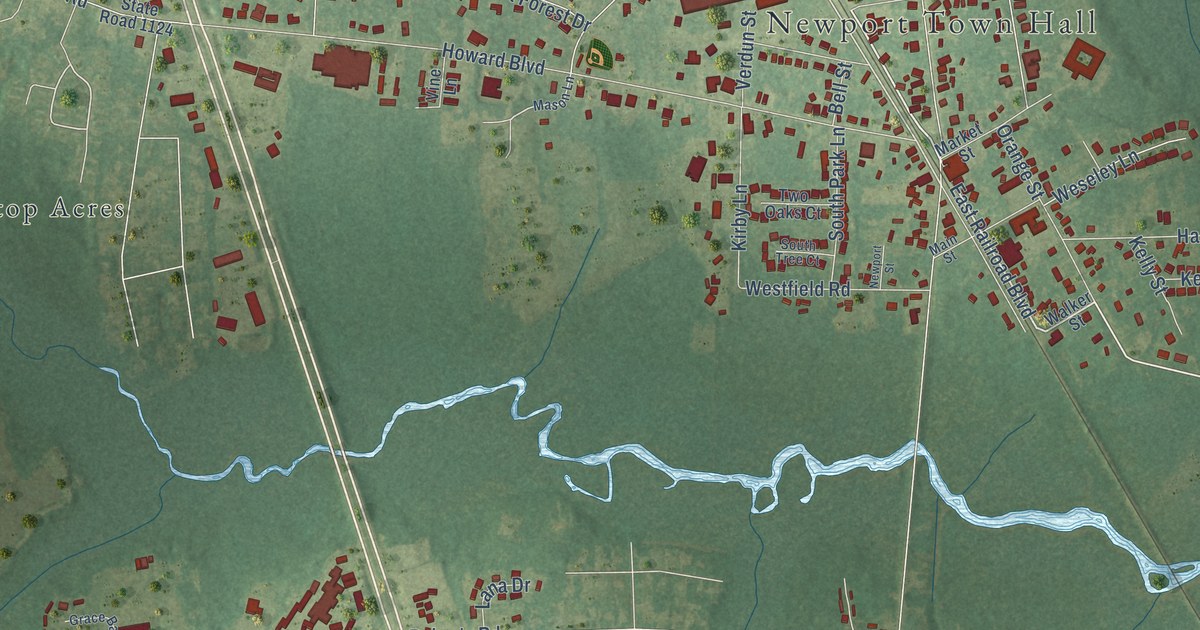
Take a closer look at the Newport map
Names on this map
These names are printed on this map.
Places: Newport Town Hall, Conner Village, Croatan National Forest, Bay Woods and Hilltop Acres.
Streets and roads: West Railroad Boulevard, State Road 1154, East Railroad Boulevard, West Railroad Street, Bayberry Road, State Road 1140, Roberts Road, State Road 1247, East Chatham Street, Hibbs Road, State Road 1141, Chatham Street.
More street names, A to Z
Bell Street, Big Rock Weigh, Cannon Boulevard, Carolina Avenue, Church Street, Courtyard West, Cove Drive, Davidson Drive, Deer Run Trail, East Forest Drive, East Forrest Drive, Eastover Court, Easy Street, Edgewood Avenue, Elm Green Loop Drive, Forest Route 154, Foxhall Road, Grace Baptist Street, Gracelyn Lane, Hargett Street, Haskett Street, Herring Smith Lane, Hilan Terrace, Howard Boulevard, Howard Road, Independence Boulevard, Jade Cv, Johnson Street, Joyce Avenue, Kathryn Court, Kelly Place, Kelly Street, Kings Way, Kirby Lane, Lana Drive, Landfill Road, Legacy Lane, Lilly Pond Lane, Lincoln Drive, Lloyd Drive, Main Street, Mandolin Lane, Mann Street, Market Street, Mason Lane, Masontown Road, McCain Street, McQueen Avenue, Merry Woods Drive, Mourning Dove, Nellie Street, New Bern Street, Newport Circle, Newport Street, Nine Foot Road, North Lakeview Drive, Old Fashioned Way, Orange Street, Palmetta Drive, Park Avenue, Pollard Court, Primrose Place, Roy Court, Sand Hills Drive, Shaver Road, South Lakeview Drive, South Park Lane, South Tree Court, State Road 1124, State Road 1133, State Road 1152, State Road 1211, Thompson Drive, Training Ground Road, Two Oaks Court, Verdun Street, Vine Lane, Walker Street, Ward Street, Watson Avenue, Waverly Court, Weseley Lane, Westfield Road, West Forest Drive, White Sands Boulevard, Willis Farm Road, Windy Trail.
Created by KNOWOL in 2026. The buildings are small red shapes, the roads carry their printed names, and shaded relief shows the shape of the land. The title panel reads "AERIAL VIEW OF NEWPORT NORTH CAROLINA" with 34°47' NORTH 76°52' WEST.
Hang it in the hallway, the office or the cabin, or give it to someone who left Newport and still calls it home. Open the preview and look for a street you know. See sizes and frames for the Newport map.