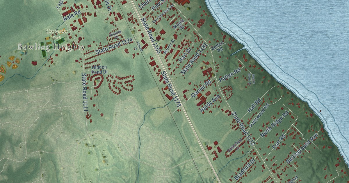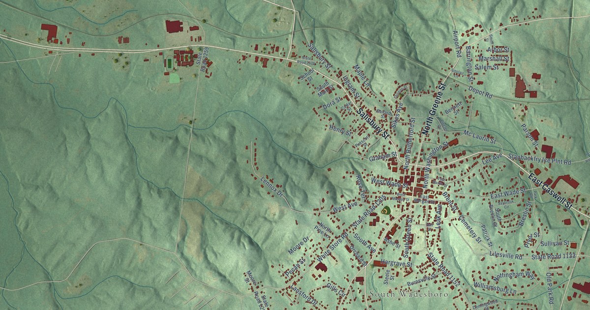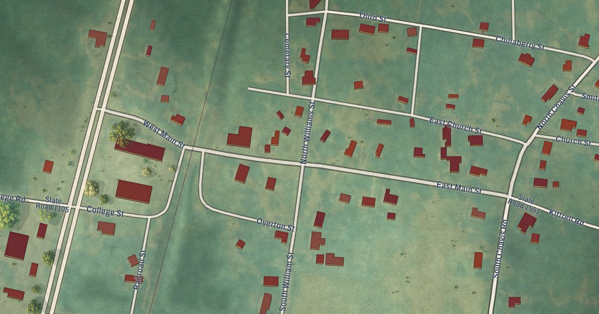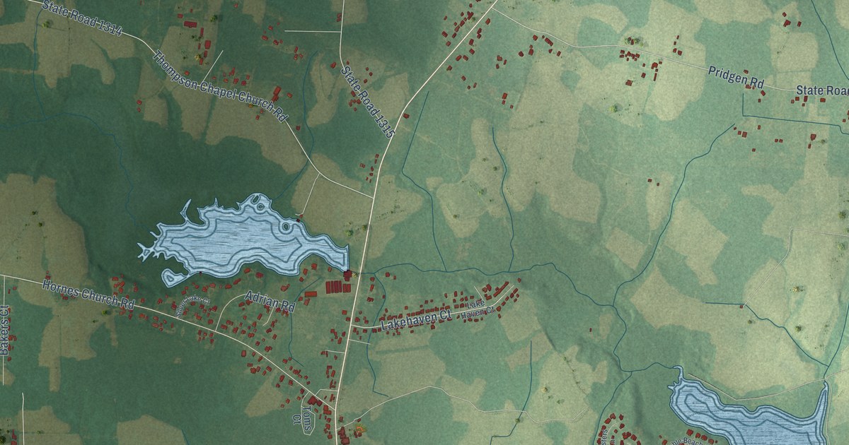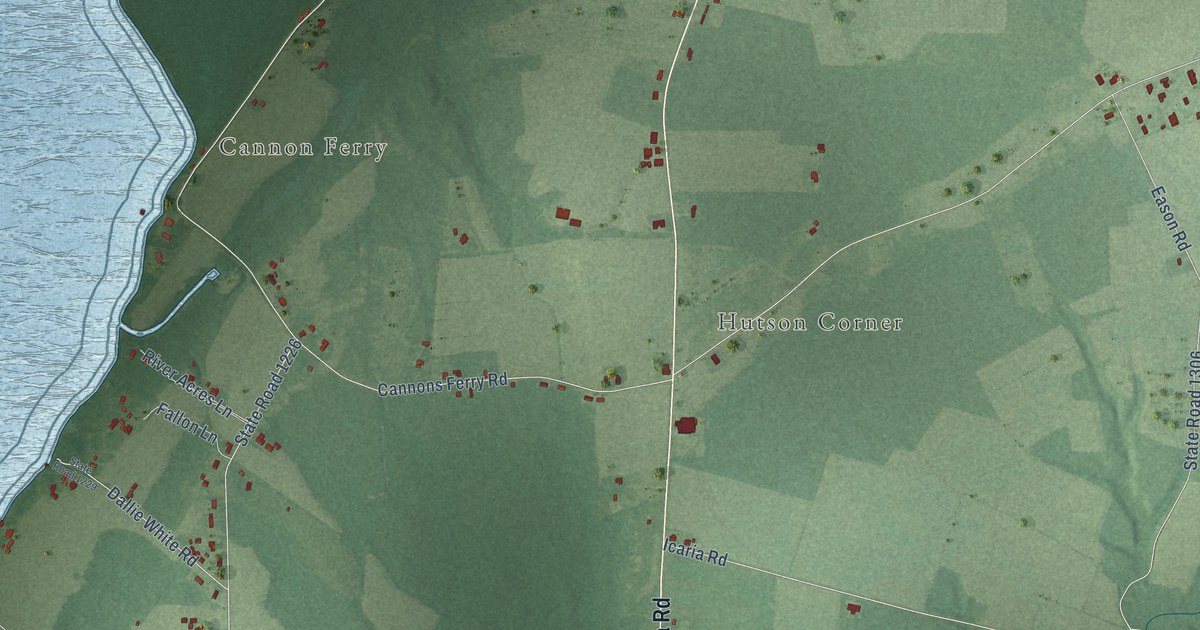
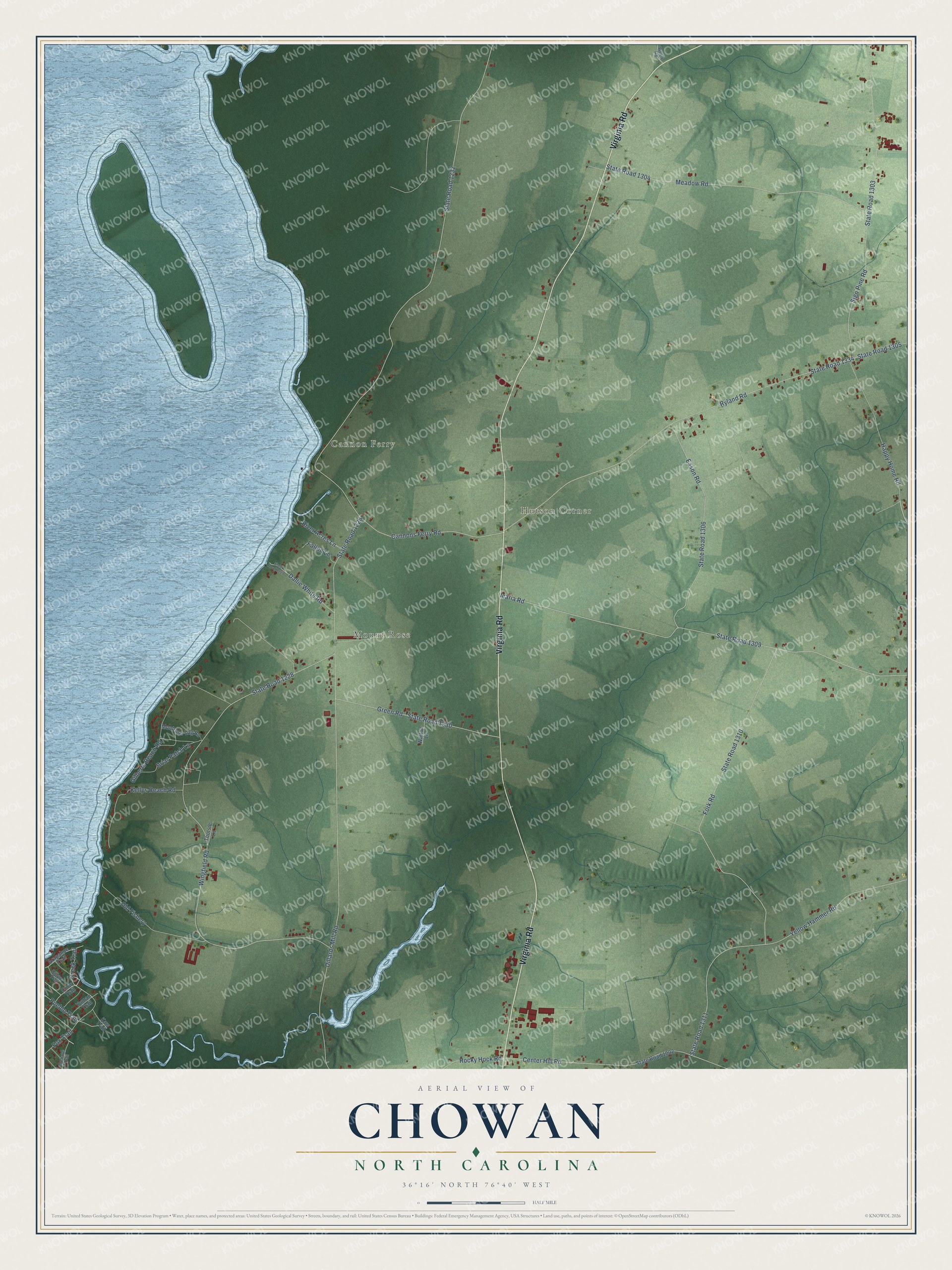
This beautifully detailed map of Chowan, North Carolina was created in 2026 using aerial imagery combined with modern topographical, census, street and landmark data. It’s a one-of-a-kind view of Chowan that combines accurate data with a vintage aesthetic. The map shows every building in its true location, many of the roads carry their names, and the shaded topographic relief shows the shape of the land.
Explore an aerial view of Chowan, North Carolina
On the map you’ll find Mount Rose, Hutson Corner, and Cannon Ferry, along with Virginia Road, State Road 1303, Cannons Ferry Road, State Road 1232, Dillards Mill Road, State Road 1226, State Road 1228, Wingfield Road, Ryland Road, and more. If you look closely you can even find your house accurately drawn in its correct location. Zoom in on the preview to look for yours.
Did You Know?
From Internet Archive: "Along in January, 1865, they had entered Albemarle Sound and had gone up Chowan river with one or more gun boats and a small force had effected a landing at Coleraine."
Chowan is a community in Chowan County.
Take a closer look at the Chowan map
Names on this map
These names are printed on this map.
Places: Mount Rose, Hutson Corner and Cannon Ferry.
Streets and roads: Virginia Road, State Road 1303, Cannons Ferry Road, State Road 1232, Dillards Mill Road, State Road 1226, State Road 1228, Wingfield Road, Ryland Road, Icaria Road, State Road 1309, State Road 1334.
More street names, A to Z
Arapahoe Trail, Briar Patch Lane, Center Hill Road, Creek Trail, Crow Trail, Dallie White Road, Eason Road, Fallon Lane, Fork Road, Fox Trail, Gilberts Beach Road, Green Road, Happy Home Road, Kaw Trail, Kellys Beach Road, Meadow Road, Mohave Trail, Montrose Ldg Road, Ojibwa Trail, Old Fishery, Pueblo Trail, River Acres Lane, Rocky Hock Road, Sign Pine Road, State Road 1002, State Road 1229, State Road 1230, State Road 1304, State Road 1305, State Road 1306, State Road 1310, State Road 1311, Tootsie Lane, Walton Lane, Welch Road, Yellow Hammer Road, Yuman Trail.
See it on a wall
The Chowan map as a framed print. Swipe for more.


This beautifully detailed map of Chowan makes an attractive addition to your office, library, or den, and it can even be used to teach children the geography and history of the area. It also makes a great gift for anyone with Chowan roots. When you’re done exploring, click here to get your copy of the Chowan map.