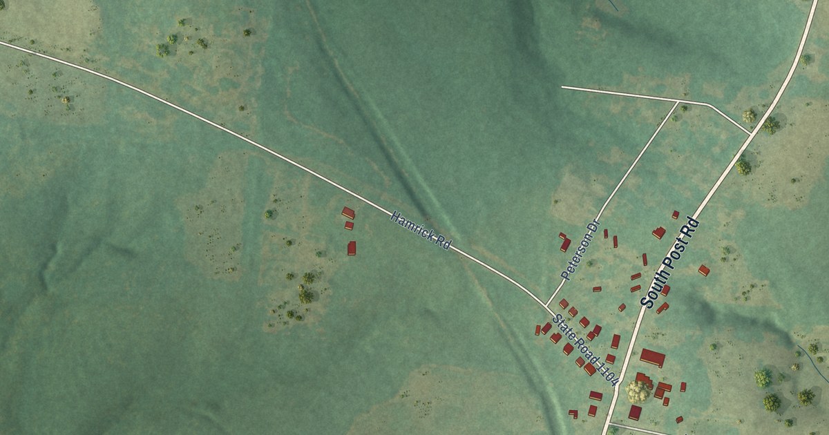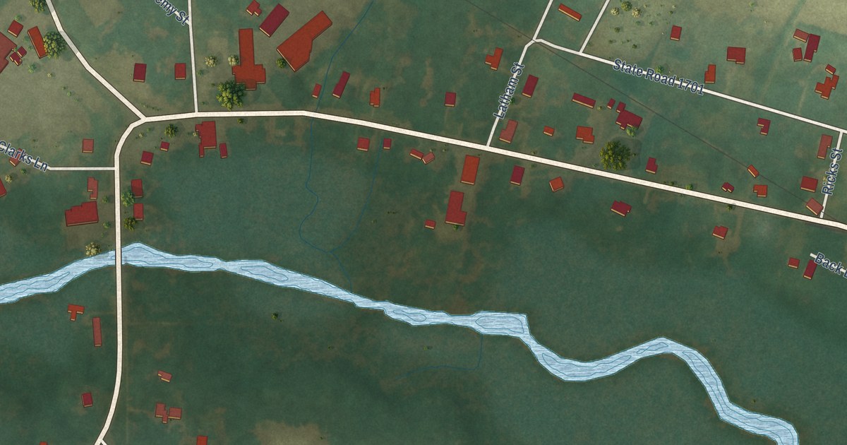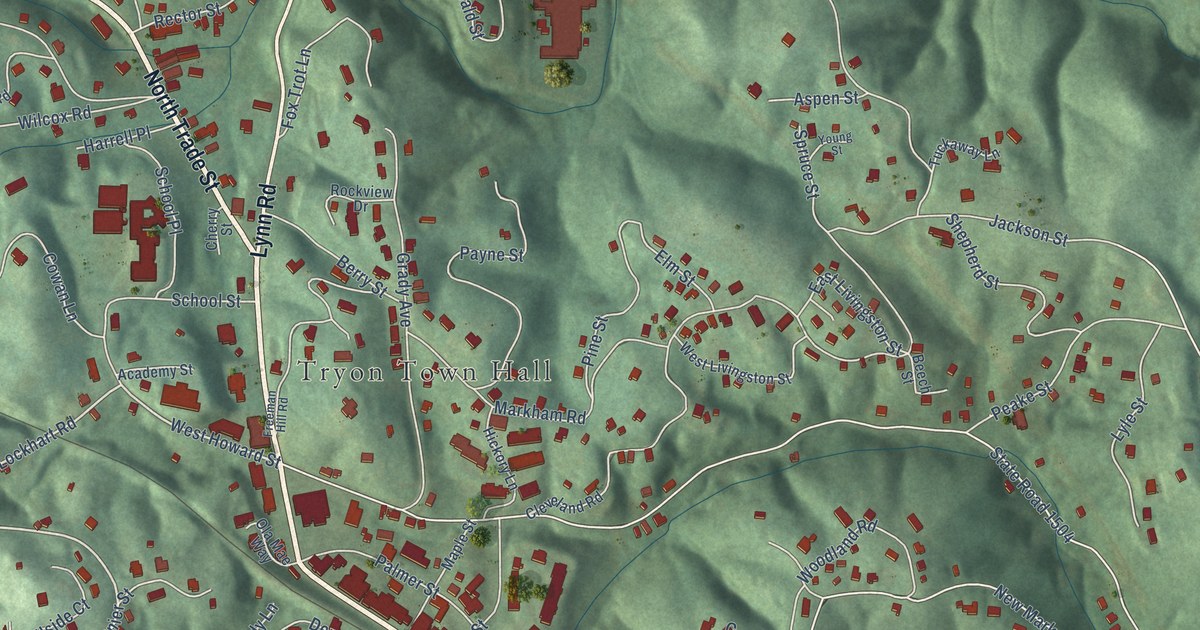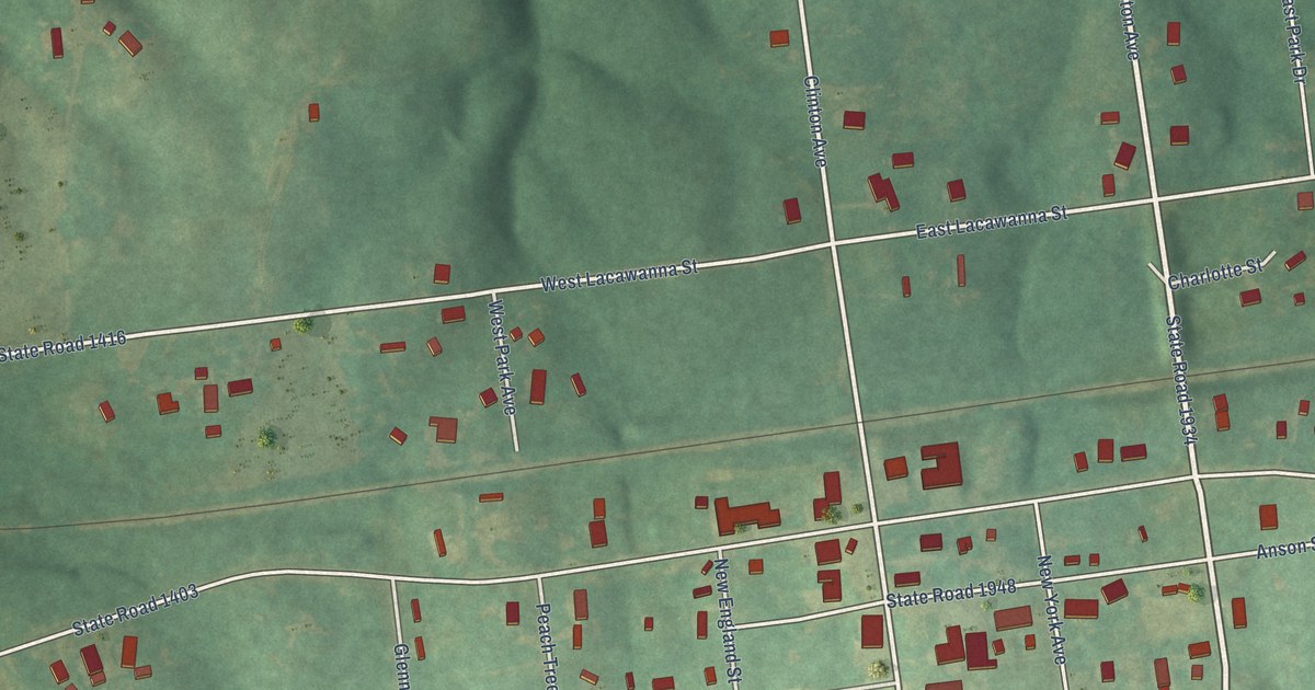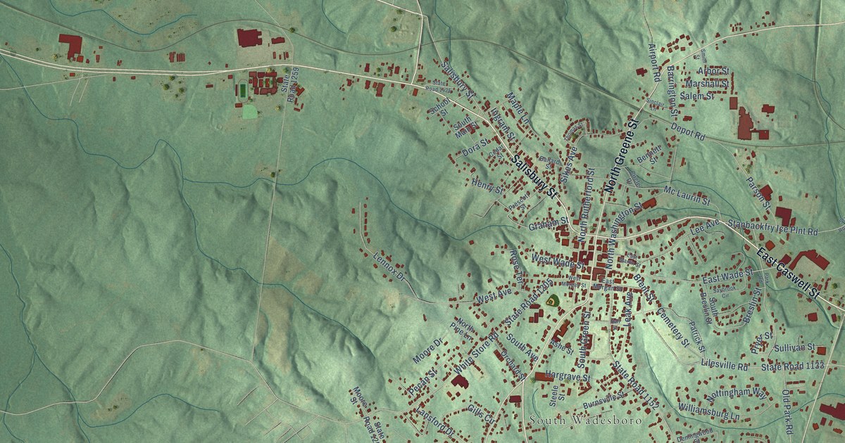
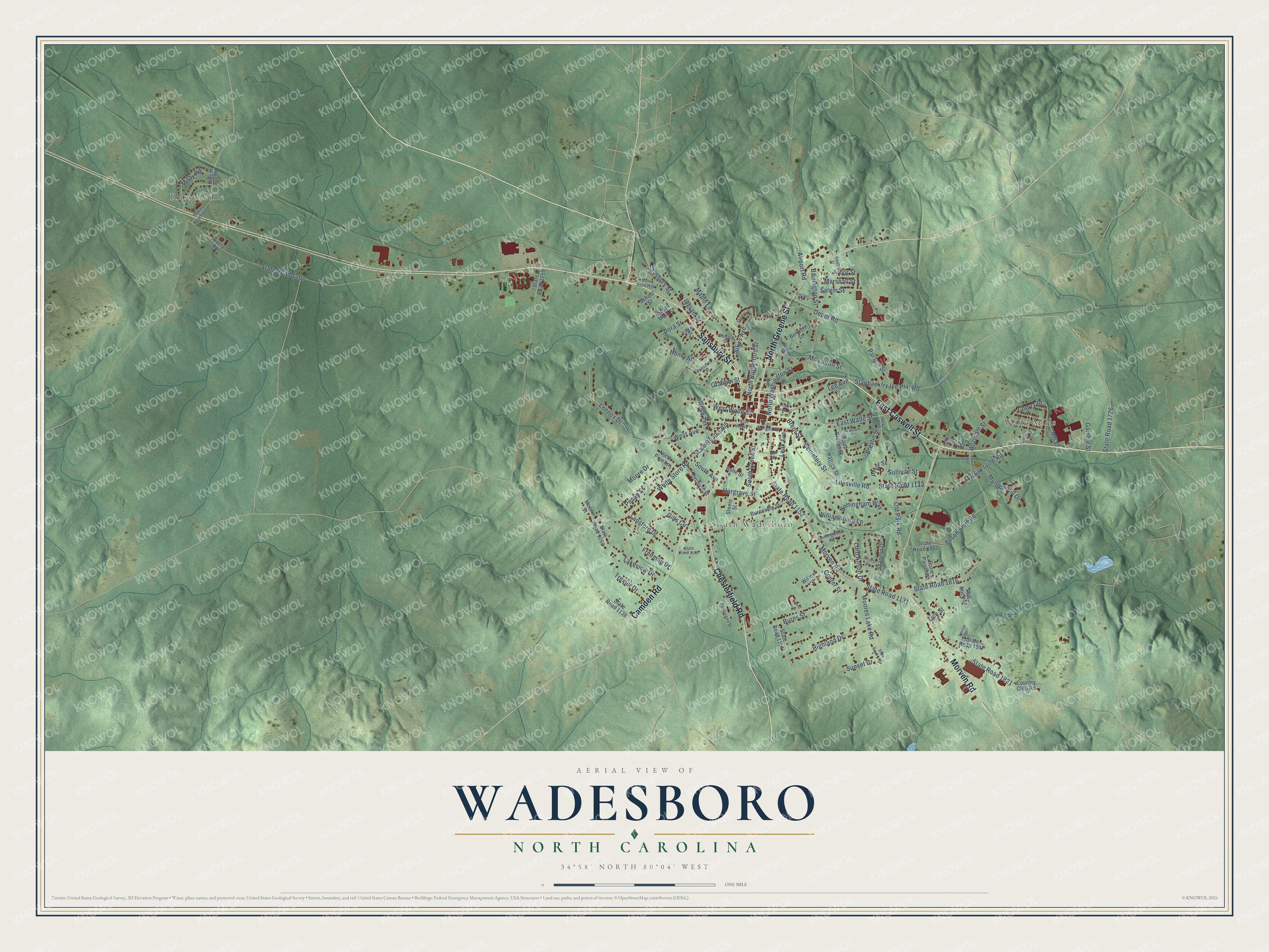
This beautifully detailed map of Wadesboro, North Carolina was created in 2026 using aerial imagery combined with modern topographical, census, street and landmark data. It's a modern aerial view of Wadesboro in Anson County, North Carolina, that combines modern data with a vintage aesthetic. The roads feature printed names, and if you look closely you can find your exact house accurately shown in its correct location.
Explore an aerial view of Wadesboro, North Carolina
On this map you'll find Russellville, Wade Mills, South Wadesboro, East Caswell Street, Salisbury Street, Chesterfield Road, Morven Road, North Greene Street, Camden Road, Graham Street, Cemetery Street, State Road 1133, and more. Each red shape is a building, so zoom in on the preview and look for yours.
Wadesboro has a story worth telling. The record at dncr.nc.gov puts it this way: "Eighteenth-century house built by Patrick Boggan, Revolutionary soldier & a founder of Wadesboro."
Wadesboro is a town in Anson County. The Census Bureau counted 5,008 people here in 2020.
Take a closer look at the Wadesboro map
Names on this map
These names are printed on this map.
Places: Russellville, Wade Mills and South Wadesboro.
Streets and roads: East Caswell Street, Salisbury Street, Chesterfield Road, Morven Road, North Greene Street, Camden Road, Graham Street, Cemetery Street, State Road 1133, Old Lilesville Road, Lilesville Road, Brent Street.
More street names, A to Z
Airport Road, Anson Shirt Road, Arbor Street, Ashe Street, Avery Road, Ballard Street, Barrington Street, Bennett Street, Boggan Cut Road, Breslin Street, Burns Street, Burnsville Street, Cedar Street, Center Street, Cherry Street, Church Street, Circle Drive, Cloud Avenue, Country Club Road, Demingwood Street, Depot Road, Dora Street, East Martin Street, East Morgan Street, East Wade Street, Flat Rock Street, Freeman Drive, Gamble Street, George Street, Gills Circle, Hall Street, Hargrave Street, Henry Street, Highland Drive, Holly Street, Ingram Street, Lakeview Drive, Lansford Drive, Laurel Avenue, Leak Avenue, Lee Avenue, Lennox Drive, Lord Anson Drive, Maple Lane, Marshall Street, Mc Laurin Street, Mill Street, Misty Road, Moore Drive, Moores Lake Road, Moore Street, Myrtlewood Drive, North Pine Lane, North Rutherford Street, North Washington Street, Nottingham Way, Old Park Road, Orchard Street, Park Road, Parson Street, Patrick Street, Pecan Street, Prescott Street, Pryor Street, Rorie Parson Street, Rose Terrace, Salem Street, Saybrook Circle, School Street, Shannon Drive, Sikes Avenue, Sinclair Lane, Smith Street, South Avenue, South Breslin Street, South Green Street, South Main Street, Stanbackfry Ice Plnt Road, State Road 1130, State Road 1131, State Road 1138, State Road 1151, State Road 1152, State Road 1153, State Road 1205, State Road 1207, State Road 1259, State Road 1260, State Road 1422, State Road 1425, State Road 1714, State Road 1726, State Road 1816, State Road 1821, State Road 1847, State Road 1860, Steele Street, Stuart Street, Sullivan Street, Sunset Drive, Thomas Street, Tice Street, Townsend Drive, Trexler Drive, West Avenue, West Morgan Street, West Wade Street, White Store Road, Williamsburg Lane, Willow Street, Wortham Street.
Created by KNOWOL in 2026. The buildings are small red shapes, the roads carry their printed names, and shaded relief shows the shape of the land. The title panel reads "AERIAL VIEW OF WADESBORO NORTH CAROLINA" with 34°58' NORTH 80°04' WEST.
It looks right in a kitchen, an office or a den, and it's a gift for anyone who grew up in Wadesboro or moved away. Open the preview and find your street. See sizes and frames for the Wadesboro map.