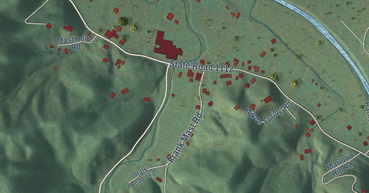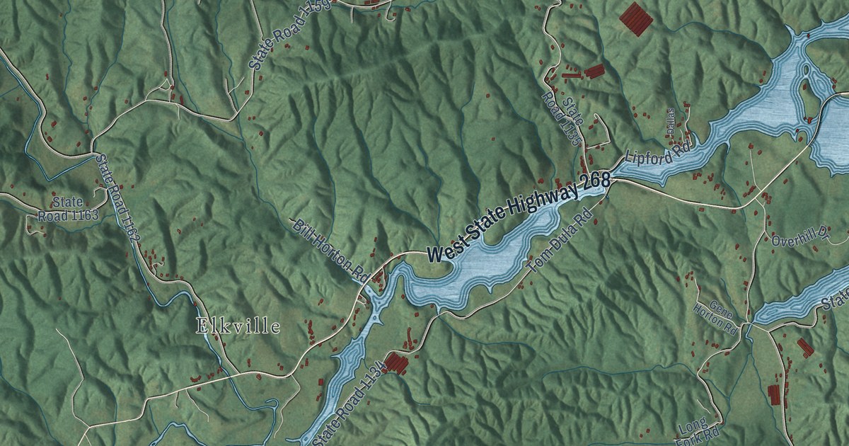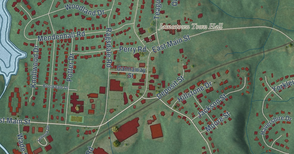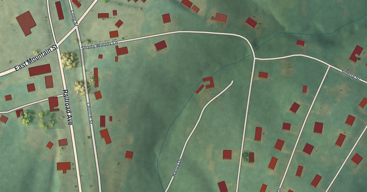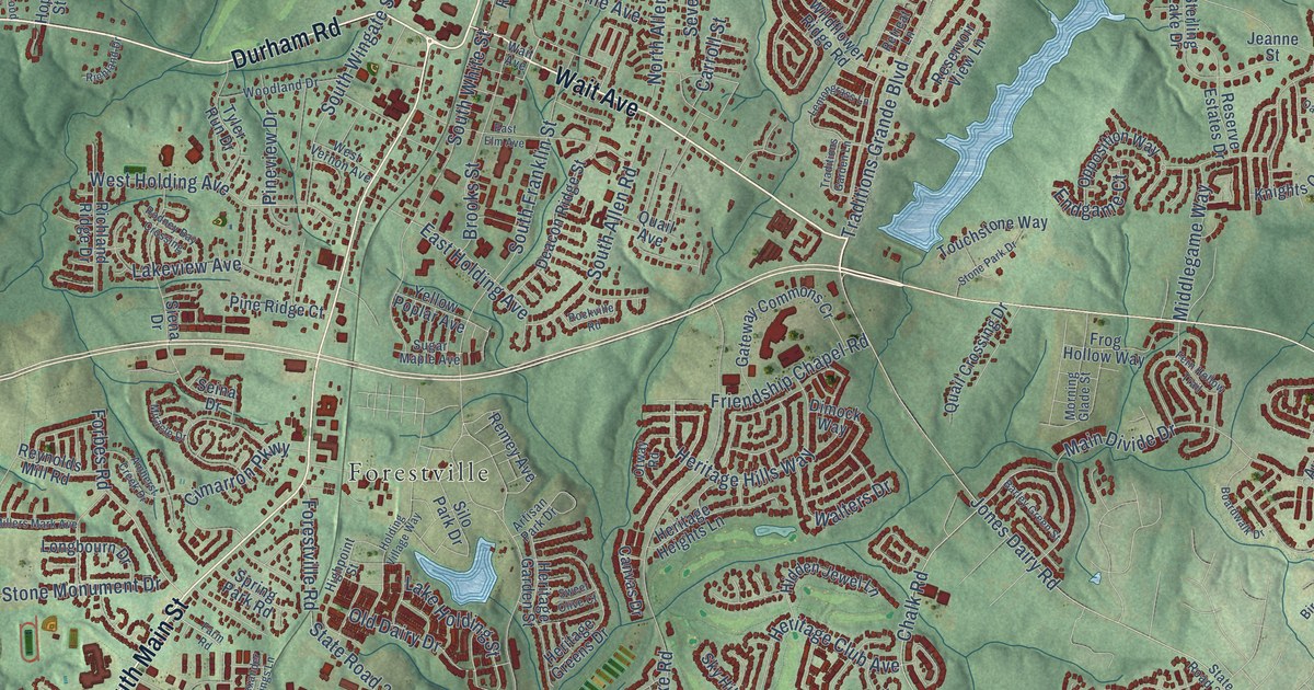
This beautifully detailed map of Wake Forest, North Carolina was created in 2026 using aerial imagery combined with modern topographical, census, street and landmark data. It’s a one-of-a-kind view of Wake Forest that combines accurate data with a vintage aesthetic. The map shows every building in its true location, many of the roads carry their names, and the shaded topographic relief shows the shape of the land.
Explore an aerial view of Wake Forest, North Carolina
On the map you’ll find Wyatt and Forestville, along with South Main Street, Wait Avenue, Durham Road, North Main Street, Capital Boulevard, Stadium Drive, North Taylor Street, State Road 1942, East Juniper Avenue, Retail Drive, and more. If you look closely you can even find your house accurately drawn in its correct location. Zoom in on the preview to look for yours.
Did you know this piece of Wake Forest, North Carolina history?
From the History of Wake County: "Wake Forest College was founded by the Baptist denomination, and located on the plantation of Dr. Calvin Jones in the year 1833."
Take a closer look at the Wake Forest map
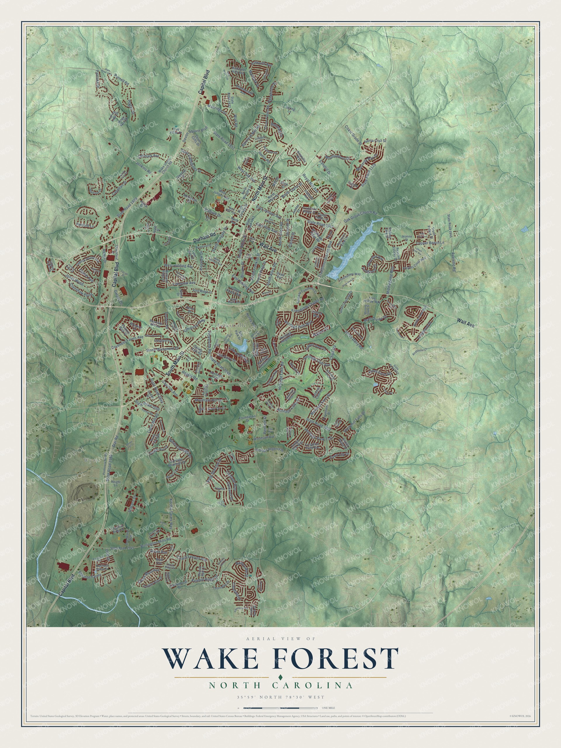
Street and place names on the Wake Forest, North Carolina map
These names are printed on the map of Wake Forest, North Carolina.
Places: Wyatt and Forestville.
Streets and roads: South Main Street, Wait Avenue, Durham Road, North Main Street, Capital Boulevard, Stadium Drive, North Taylor Street, State Road 1942, East Juniper Avenue, Retail Drive, Heritage Links Drive, West Oak Avenue.
More street names, A to Z
Agora Drive, Alexander Springs Lane, Amaryllis Way, Amherst Creek Drive, Artisan Park Drive, Austin View Boulevard, Averette Road, Barley Green Street, Barnford Mill Road, Barrett Hall Lane, Battery Crest Lane, Bellreng Drive, Birdhouse Lane, Bishop Falls Road, Bluebird Lane, Boardwalk Drive, Bratt Avenue, Brick Street, Brooks Street, Burlington Mills Road, Calista Drive, Canvas Drive, Capcom Avenue, Capefield Drive, Capellan Street, Carriage Meadows Drive, Carroll Street, Carter Street, Caveness Farms Avenue, Cedar Rock Drive, Chalk Road, Chamberwell Avenue, Chilmark Avenue, Cimarron Parkway, Clatter Avenue, Cloverleaf Drive, Club Villas Drive, Coach Lantern Avenue, Coast Grade Street, Colonial Club Road, Comet Tail Lane, Copper Beech Lane, Coram Fields Road, Cornwell Drive, Creek Moss Avenue, Crenshaw Point, Dargan Hills Drive, Deacon Ridge Street, Devon Cliffs Drive, Devon Square Boulevard, Dimock Way, East Elm Avenue, East Holding Avenue, East Pine Avenue, East Walnut Avenue, Endgame Court, Everstone Road, Fairlake Drive, Fairstone Road, Falcate Drive, Falconhurst Drive, Farm Road, Fawn Lily Drive, Federal House Avenue, Fern Hollow Trail, Field Oak Drive, Flaherty Avenue, Fleming House Street, Forbes Road, Forest Road, Forestville Road, Forgotten Pond Avenue, Foundation Drive, Friendship Chapel Road, Frog Hollow Way, Fulworth Avenue, Galaxy Drive, Gateway Commons Cr, Glencoe Drive, Golden Star Way, Gross Avenue, Haltwhistle Street, Harris Road, Hartsfield Forest Drive, Height Lane, Heritage Branch Road, Heritage Club Avenue, Heritage Garden Street, Heritage Greens Drive, Heritage Heights Lane, Heritage Hills Way, Heritage Lake Road, Heritage Regency Drive, Heritage Trail, Heritage View Trail, Hidden Jewel Lane, Highpoint Street, Higley Drive, Hogan Drive, Holding Village Way, Hope Street, Jeanne Street, Jenkins Road, Jones Dairy Road, Jones Farm Road, Jones Wynd, Jubilee Court, Kemble Ridge Drive, Kings Way Court, Kitchin Farms Way, Knights Crest Way, Lake Holding Street, Lakeview Avenue, Landfill Drive, Lariat Ridge Drive, Latham Oaks Avenue, Legacy Falls Drive, Leighton Ridge Drive, Lemongrass Lane, Ligon Mill Road, Lilliput Lane, Linslade Way, Loghouse Street, Longbourn Drive, Longmont Drive, Loring Lake Drive, Lowenstein Street, Main Divide Drive, Marbank Street, Margot's Avenue, Marshall Farm Street, McDowell Drive, Meadstone Way, Melksham Road, Middlegame Way, Millers Mark Avenue, Mill Street, Miracle Drive, Monterey Bay Drive, Morning Glade Street, Moultonboro Drive, Mountain Hill Drive, North Allen Road, North Avenue, North College Street, North White Street, North Wingate Street, Oak Grove Church Road, Oakwood Drive, Old Dairy Drive, Old Jones Road, One World Way, Opposition Way, Otway Road, Overlook Ridge Road, Park Vista Drive, Pasture Walk Drive, Penfield Street, Penfold Lane, Pine Ridge Court, Pineview Drive, Ponderosa Svc Road, Poppy Fields Lane, Porto Fino Avenue, Poteat Drive, Prarie Aster Court, Precious Stone Drive, Prevenient Drive, Purnell Road, Quail Avenue, Quail Crossing Drive, Rainy Lake Street, Remey Avenue, Reserve Estates Drive, Reservoir View Lane, Retreat Lane, Reynolds Mill Road, Rice Circle, Richland Drive, Richland Hills Avenue, Richland Ridge Drive, Rockville Road, Rodney Bay Crossing, Rogers Road, Royal Mill Avenue, Saint Catherines Drive, San Remo Place, Santa Cruz Street, Seina Drive, Seventh Street, Shasta Daisy Drive, Shearon Farms, Siena Drive, Silo Park Drive, Silver Ore Court, Sky Hill Place, Slomo Court, Song Sparrow Drive, South Allen Road, South Franklin Street, South White Street, South Wingate Street, Sparhawk Road, Spring Lane, Spring Park Road, Star Road, State Road 1129, State Road 1135, State Road 1909, State Road 1929, State Road 1931, State Road 1932, State Road 1941, State Road 1945, State Road 2044, State Road 2045, State Road 2049, State Road 2052, State Road 2053, State Road 2059, State Road 2183, Steeple Run Drive, Sterling Lake Drive, Stonemill Falls Drive, Stone Monument Drive, Stone Park Drive, Studbury Hall Court, Sugar Maple Avenue, Sweet Olive Court, Thompson Glenn Place, Thorndike Drive, Thorny Vine Court, Thurman Dairy Loop, Tiffield Way, Tise Avenue, Touchstone Way, Traditions Garden Lane, Traditions Grande Boulevard, Traditions Ridge Drive, Trawden Drive, Treetop Meadow Lane, Trentini Avenue, Trent River Avenue, Tryon Palace Street, Tyler Run Drive, Unicorn Drive, Urial Drive, Wake Union Church Road, Wallridge Drive, Wall Road, Walters Drive, West Holding Avenue, West Juniper Avenue, West Pine Avenue, West Vernon Avenue, White Carriage Drive, Wildflower Ridge Road, Woodland Drive, Woodstaff Avenue, Yellow Poplar Avenue.
See the Wake Forest, North Carolina map on a wall
The Wake Forest map as an 18 x 24 inch print in a black frame.

This beautifully detailed map of Wake Forest makes an attractive addition to your office, library, or den, and it can even be used to teach children the geography and history of the area. It also makes a great gift for anyone with Wake Forest roots. When you’re done exploring, click here to get your copy of the Wake Forest map.