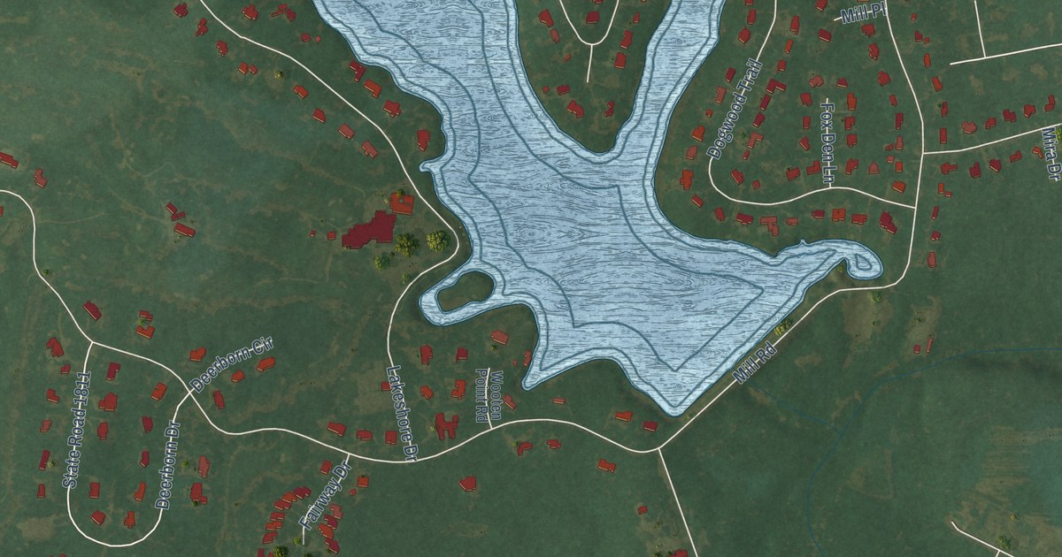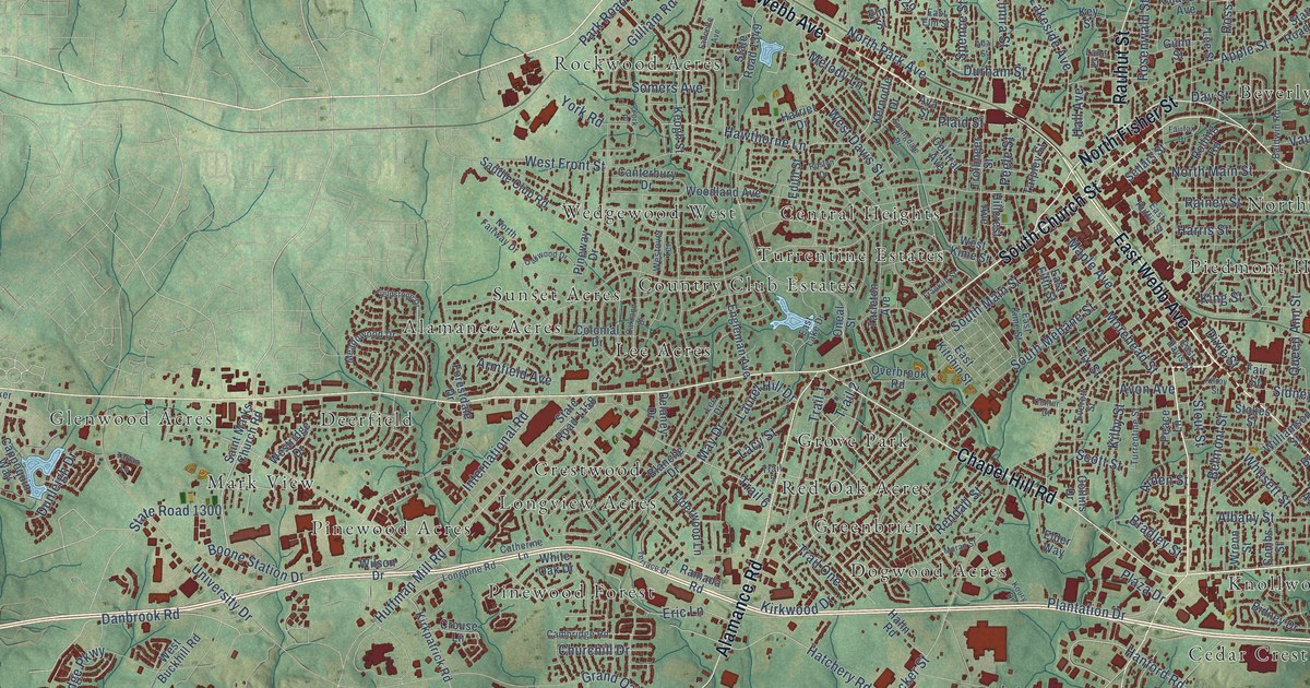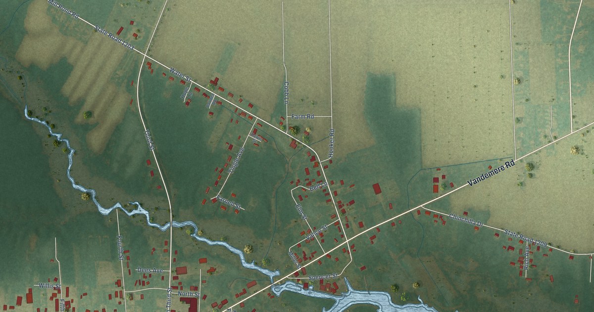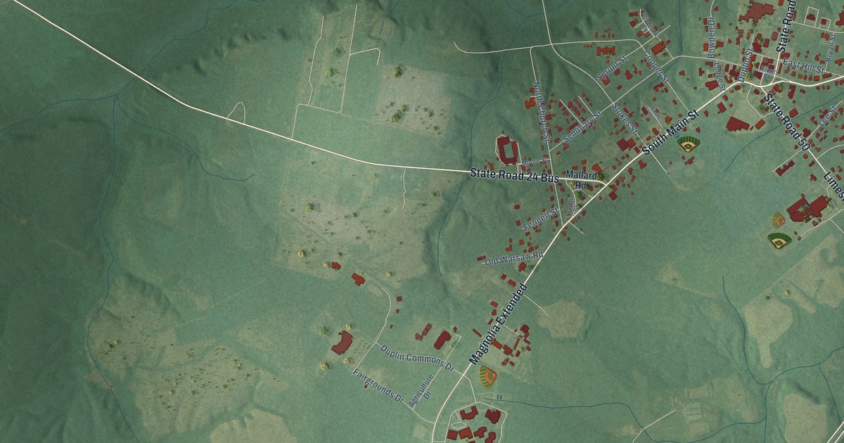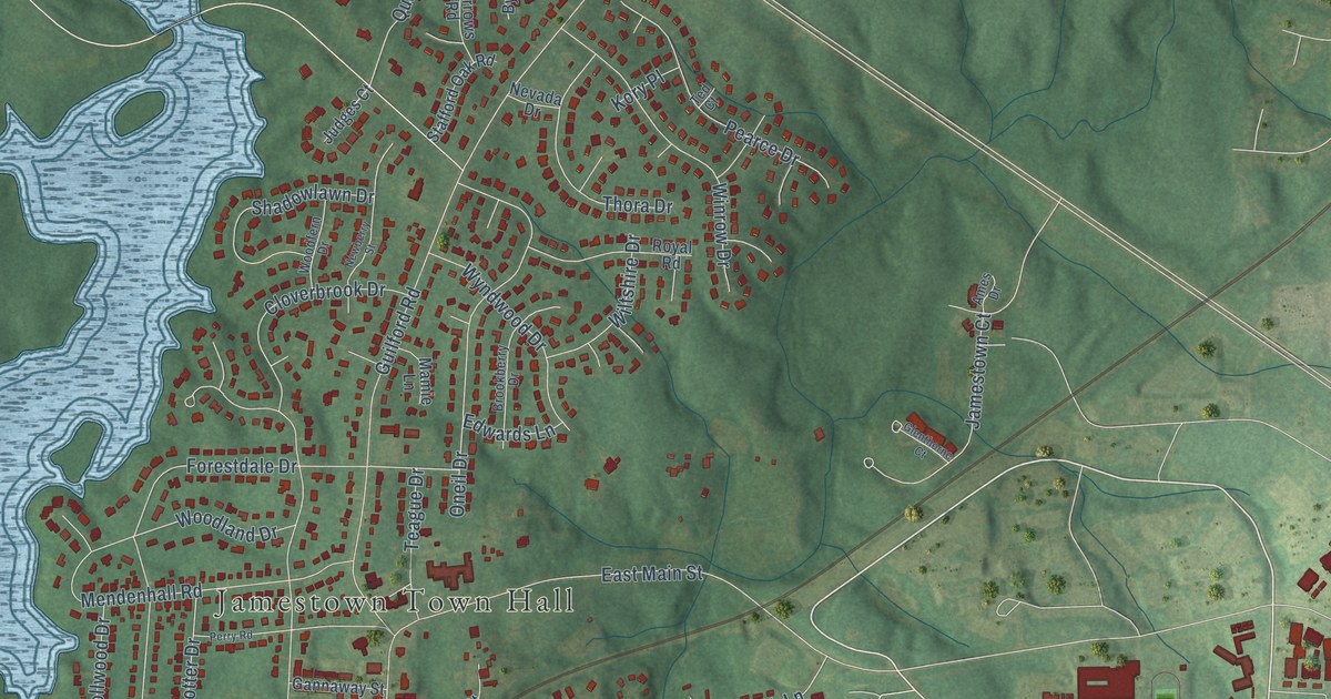
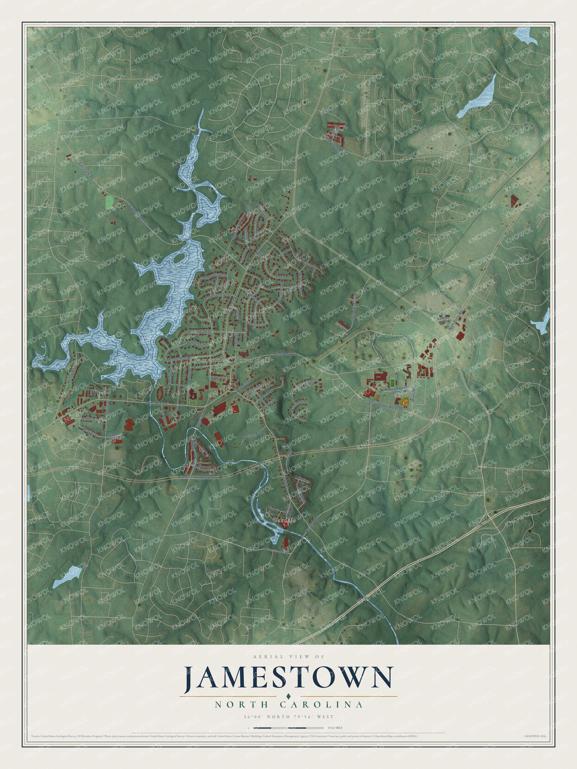
This beautifully detailed map of Jamestown, North Carolina was created in 2026 using aerial imagery combined with modern topographical, census, street and landmark data. It's a modern aerial view of Jamestown in Guilford County, North Carolina, that combines modern data with a vintage aesthetic. The roads feature printed names, and if you look closely you can find your exact house accurately shown in its correct location.
Explore an aerial view of Jamestown, North Carolina
On this map you'll find Jamestown Town Hall, Oakdale, West Main Street, Vickery Chapel North Road, Millis Road, Oakdale Road, Jamestown Parkway, East Main Street, East Fork Road, State Road 1545, Guilford Road, Ragsdale Road, and more. Each red shape is a building, so zoom in on the preview and look for yours.
Every town has a first chapter, and Jamestown is no exception. The North Carolina Gazetteer puts it this way: "Jamestown town in SW Guilford County. Settled 1752 and named for James Mendenhall, an early settler whose first name was chosen in Quaker fashion to avoid ostentation. Inc. 1816; rechartered 1947. Produces baked goods, corrugated boxes, and textiles. Home to Oakdale Cotton Mills, continuously operating since 1865."
Jamestown is a town in Guilford County. The Census Bureau counted 3,668 people here in 2020.
Take a closer look at the Jamestown map
Names on this map
These names are printed on this map.
Places: Jamestown Town Hall and Oakdale.
Streets and roads: West Main Street, Vickery Chapel North Road, Millis Road, Oakdale Road, Jamestown Parkway, East Main Street, East Fork Road, State Road 1545, Guilford Road, Ragsdale Road, Forestdale Drive, Oneil Drive.
More street names, A to Z
Ames Drive, Arlington Drive, Bales Chapel Road, Brookberry Drive, Brookdale Drive, Burrows Road, Byrnwood Drive, Cedar Creek, Channel Cove Court, Cloverbrook Drive, Creekside Drive, Deposit Street, Dillon Road, Edwards Lane, Farriers Lane, Gannaway Street, Gardner Hill Drive, Glenthorne Court, Harvey Road, Havershire Drive, High Point Road, Hillstone Drive, Jackson Street, Jamestown Court, Jamestown Oaks Drive, Jordan Creek Drive, Judges Court, Kearns Street, Knollwood Drive, Kory Place, Lennox Drive, Lucy Ragsdale School Road, Mackay Road, Mamie Lane, McClure Road, Mendenhall Road, Moore Street, Nevada Drive, Newberry Street, Oakdale Mill Road, Oak Street, Park Avenue, Pearce Drive, Penny Road, Perry Road, Potter Drive, Quarterpath Lane, Riverwalk Lane, Robbins Avenue, Royal Road, Scientific Street, Shadowlawn Drive, Shannon Gray Court, Stafford Oak Road, State Road 1334, Teague Drive, Ted Court, Thora Drive, Village Drive, Wade Street, Wiltshire Drive, Winrow Drive, Woodfern Drive, Woodland Drive, Wyndwood Drive, Yorkleigh Lane.
Created by KNOWOL in 2026. The buildings are small red shapes, the roads carry their printed names, and shaded relief shows the shape of the land. The title panel reads "AERIAL VIEW OF JAMESTOWN NORTH CAROLINA" with 36°00' NORTH 79°56' WEST.
Hang it in the hallway, the office or the cabin, or give it to someone who left Jamestown and still calls it home. Open the preview and look for a street you know. See sizes and frames for the Jamestown map.