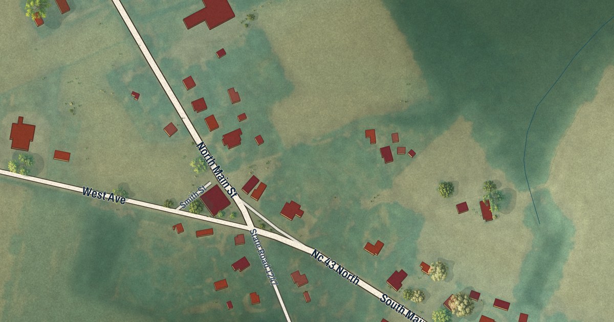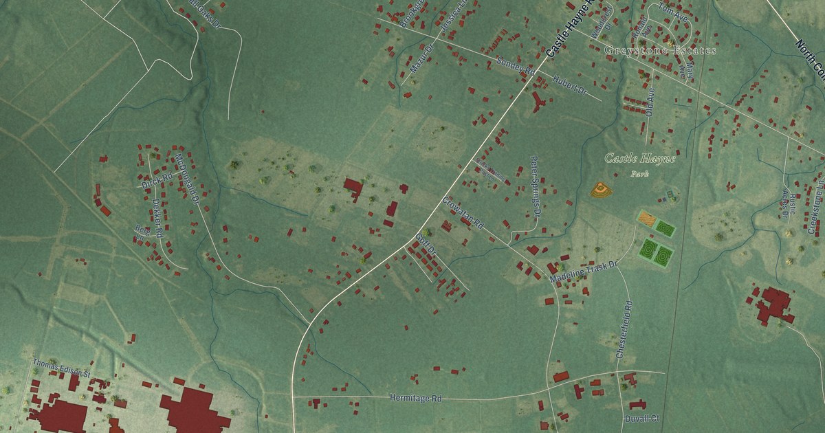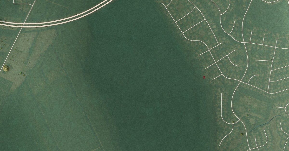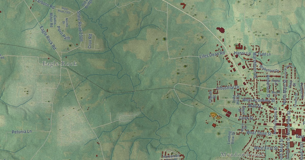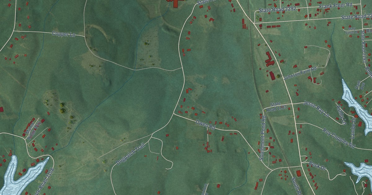
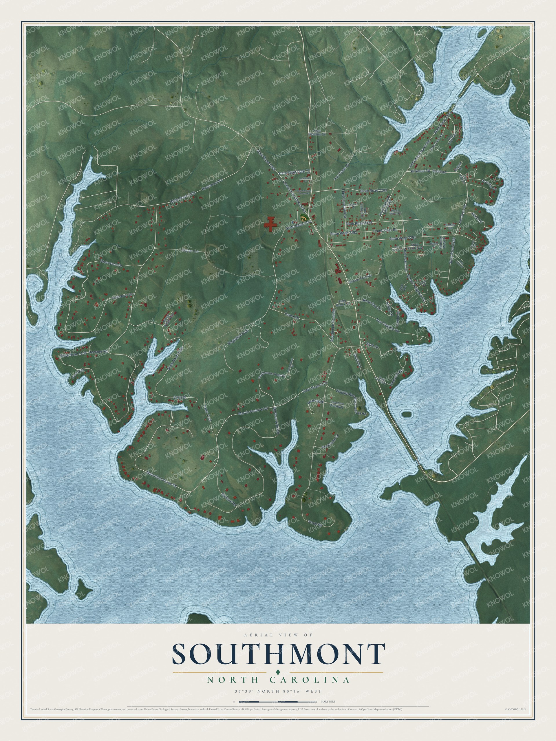
This beautifully detailed map of Southmont, North Carolina was created in 2026 using aerial imagery combined with modern topographical, census, street and landmark data. It's a modern aerial view of Southmont in Davidson County, North Carolina, that combines modern data with a vintage aesthetic. The roads feature printed names, and if you look closely you can find your exact house accurately shown in its correct location.
Explore an aerial view of Southmont, North Carolina
On this map you'll find Joe Cecil Road, Kirkman Road, Waterford Pointe Road, State Road 2289, Beck Drive, Jesse Ray Lane, Marvin Hedrick Road, Beckner Road, State Road 1106, State Road 1101, Riverwood Drive, Starboard Reach, and more. Each red shape is a building, so zoom in on the preview and look for yours.
Southmont is a community in Davidson County. The Census Bureau counted 1,563 people here in 2020. Southmont sits about 9 miles east of East Spencer, 9 miles southeast of Spencer and 9 miles west of Denton. The map prints the town name in its title panel, with the coordinates below it.
Take a closer look at the Southmont map
Names on this map
These names are printed on this map.
Streets and roads: Joe Cecil Road, Kirkman Road, Waterford Pointe Road, State Road 2289, Beck Drive, Jesse Ray Lane, Marvin Hedrick Road, Beckner Road, State Road 1106, State Road 1101, Riverwood Drive, Starboard Reach.
More street names, A to Z
Ashby Lane, Boardwalk, Bob Callicut Drive, Bowtie Road, Chimney Rock Drive, Commodore Drive, Copper Lane, Cornflower Lane, Dock Post Lane, Dogpatch Trail, Ervin Drive, Fawn Trail, Fox Creek Drive, Frank Fleer Road, Friendly Way, Heels Court, High Meadows Drive, Holloway Church Road, Houstons Hideaway, Jess Cross Road, Johnson Farm Road, Keith Cecil Road, Kendricks Cv, Kirkman, Lambe Drive, Linda Avenue, Linwood-Southmont Road, Lloyd Lookabill Street, Manor Ridge Way, Mary Carter Drive, Melvin Myers Road, Nealey Drive, Owen Road, Pam Avenue, River Oaks, Riverwood Road, Robert Hargrave Road, Rothrock Road, Roy Coppley Road, Scout Road, Seamon Drive, South Holloway Church Road, Southmont Pond Road, South Road, State Road 1102, State Road 1103, State Road 1105, State Road 1349, State Road 1396, State Road 2291, State Road 2292, State Road 2293, State Road 2294, State Road 2296, State Road 2297, State Road 2298, State Road 2412, State Road 2429, State Road 2430, State Road 3101, State Road 3108, Wafford Road, Wall Road, Watson Drive, West Holloway Church Road, Wildlife Rec Area Access Road, Yachtsmans Point Drive.
See it on a wall
The Southmont map as a framed print. Swipe for more.


Created by KNOWOL in 2026. The buildings are small red shapes, the roads carry their printed names, and shaded relief shows the shape of the land. The title panel reads "AERIAL VIEW OF SOUTHMONT, NORTH CAROLINA" with 35°39' NORTH 80°16' WEST.
It looks right in a kitchen, an office or a den, and it's a gift for anyone who grew up in Southmont or moved away. Open the preview and find your street. See sizes and frames for the Southmont map.