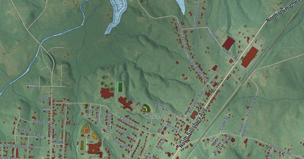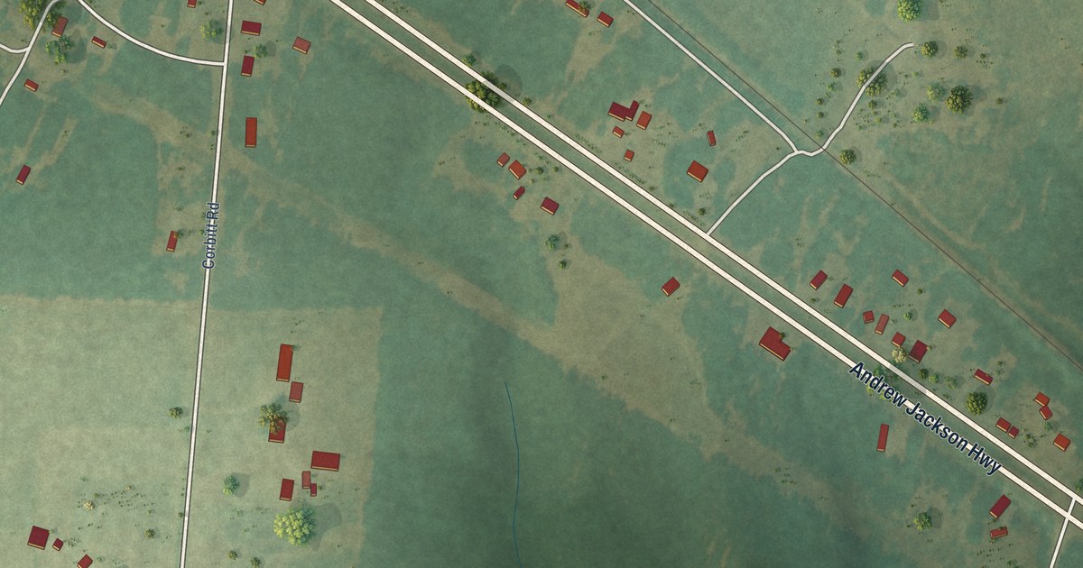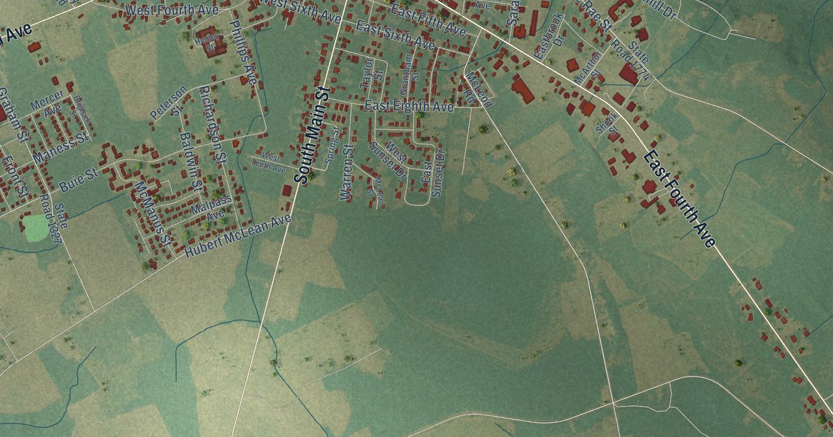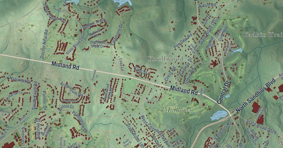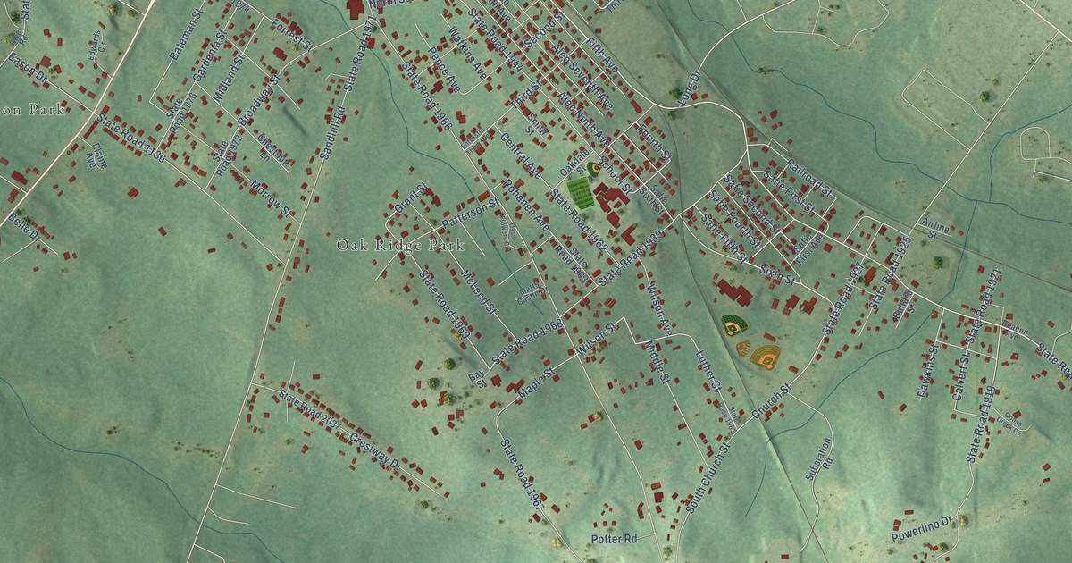
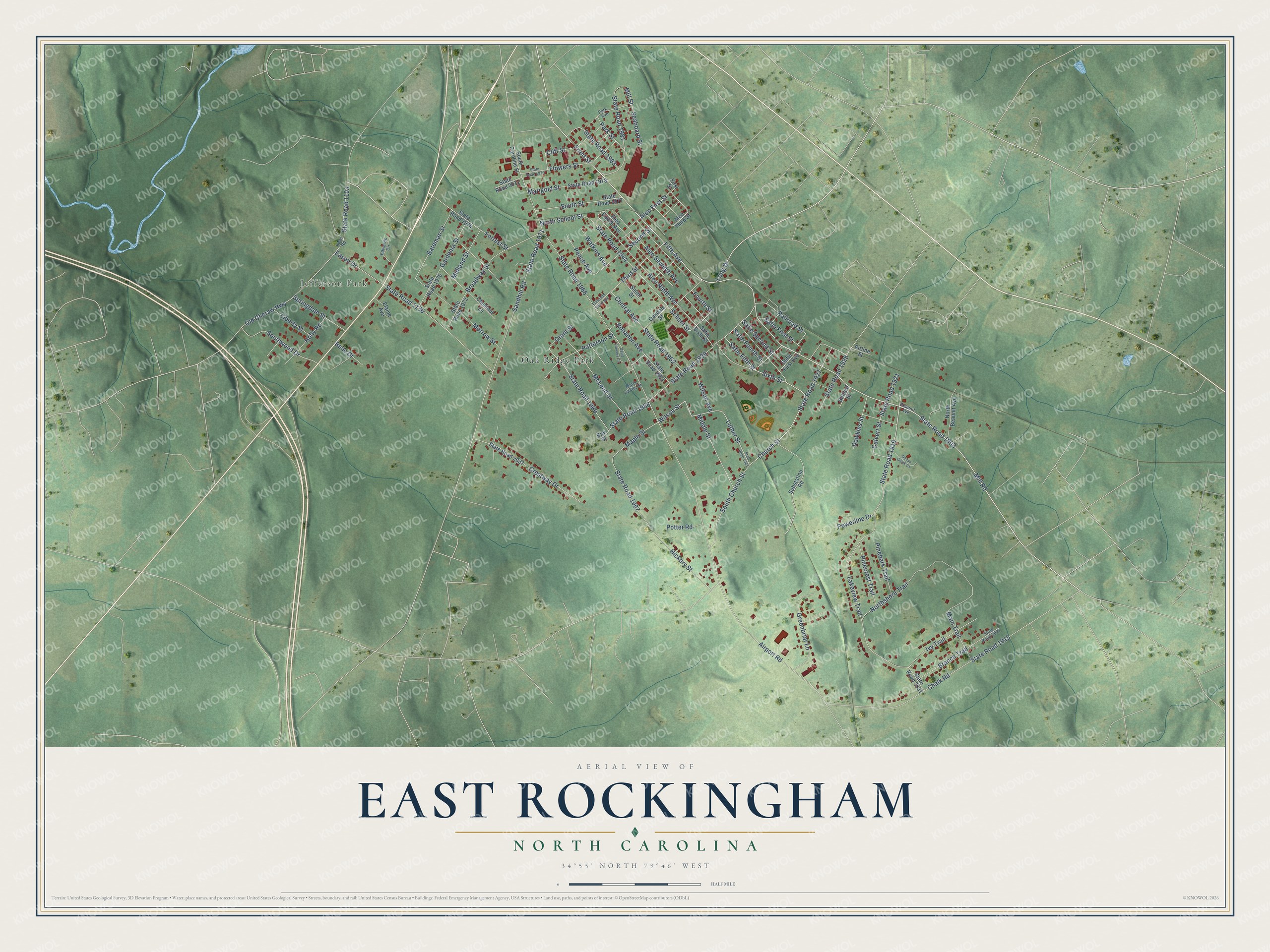
This beautifully detailed map of East Rockingham, North Carolina was created in 2026 using aerial imagery combined with modern topographical, census, street and landmark data. It's a modern aerial view of East Rockingham in Richmond County, North Carolina, that combines modern data with a vintage aesthetic. The roads feature printed names, and if you look closely you can find your exact house accurately shown in its correct location.
Explore an aerial view of East Rockingham, North Carolina
On this map you'll find Jefferson Park, Oak Ridge Park, State Road 1903, Mill Road, Fifth Avenue, Aleo First Street, Safie Fifth Street, Sixth Street, Church Street, Long Drive, Safie Fourth Street, Fourth Street, and more. Each red shape is a building, so zoom in on the preview and look for yours.
East Rockingham is a community in Richmond County. The Census Bureau counted 3,471 people here in 2020. East Rockingham sits about 3 miles east of Cordova, 3 miles northwest of Hamlet and 4 miles west of Dobbins Heights. The map prints the town name in its title panel, with the coordinates below it.
Take a closer look at the East Rockingham map
Names on this map
These names are printed on this map.
Places: Jefferson Park and Oak Ridge Park.
Streets and roads: State Road 1903, Mill Road, Fifth Avenue, Aleo First Street, Safie Fifth Street, Sixth Street, Church Street, Long Drive, Safie Fourth Street, Fourth Street, Second Street, Safie Second Street.
More street names, A to Z
Airline Street, Airport Road, Aleo Eighth Avenue, Aleo Ninth Avenue, Aleo Seventh Avenue, Aleo Third Street, Bateman Street, Bay Street, Beaunit Avenue, Belle Drive, Branch Trail, Broadway Street, Bullard Street, Calvert Street, Central Avenue, Chalk Road, Chestnut Lane, Cliff Street, Crestway Drive, Dawkins Street, Eason Drive, Edwards Circle, Elaine Avenue, Entwistle Third Avenue, First Street, Flowers Street, Forrest Street, Front Street, Gardenia Street, Goose Creek Cv, Grant Street, Greenbriar Lane, Hickory Street, Holly Road, Ivy Trail, Lakeview Trail, Liberty Street, Luther Street, Main Trail, Maple Street, Marigold Street, Matts Castle Drive, McLeod Street, Middle Street, Midland Street, Mill Street, Morrow Street, North Beaunit Avenue, North School Street, Northshore Trail, Oakdale Street, Old Cheraw Highway, Ossie Flowers Circle, Park Avenue, Park Street, Patterson Street, Pence Avenue, Pinebark Trail, Pinecrest Trail, Potter Road, Powerline Drive, Railroad Street, River Road, Rohanen Avenue, Safie First Avenue, Safie First Street, Safie Sixth Street, Sandhill Road, School Street, Seaboard Street, Smith Street, South Caroline Street, South Church Street, South Street, Southwood Drive, Springdale Street, State Road 1103, State Road 1136, State Road 1915, State Road 1919, State Road 1921, State Road 1925, State Road 1927, State Road 1939, State Road 1944, State Road 1962, State Road 1963, State Road 1965, State Road 1966, State Road 1967, State Road 1968, State Road 1969, State Road 1971, State Road 1972, State Road 1974, State Road 1976, State Road 1977, State Road 1978, State Road 1979, State Road 1981, State Road 1983, State Road 2011, State Road 2027, State Road 2031, State Road 2037, Substation Road, Third Street, Watkins Avenue, Wilson Avenue, Wilson Street.
See it on a wall
The East Rockingham map as a framed print. Swipe for more.


Created by KNOWOL in 2026. The buildings are small red shapes, the roads carry their printed names, and shaded relief shows the shape of the land. The title panel reads "AERIAL VIEW OF EAST ROCKINGHAM, NORTH CAROLINA" with 34°55' NORTH 79°46' WEST.
It suits a den, a classroom or a front hall, and it makes a gift for anyone with East Rockingham roots. Open the preview and find the block you know. See sizes and frames for the East Rockingham map.