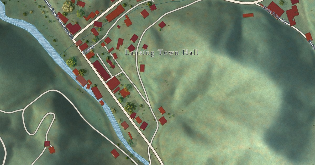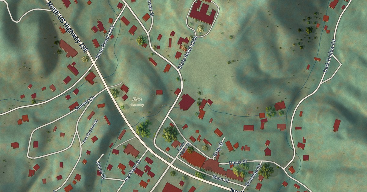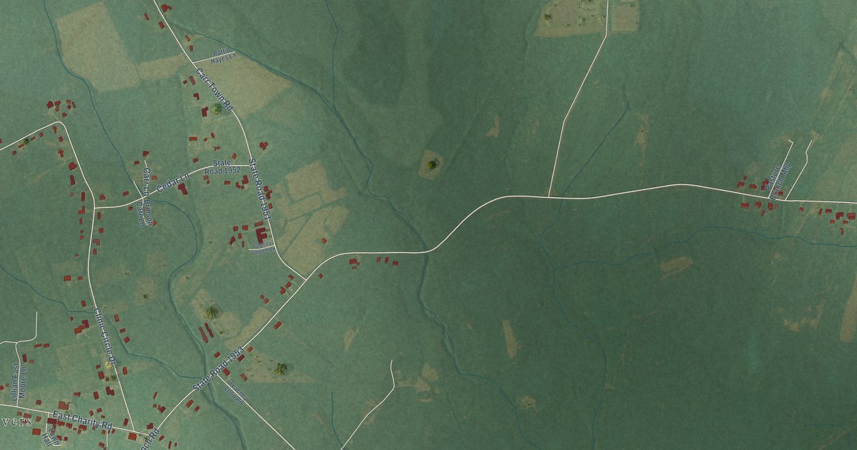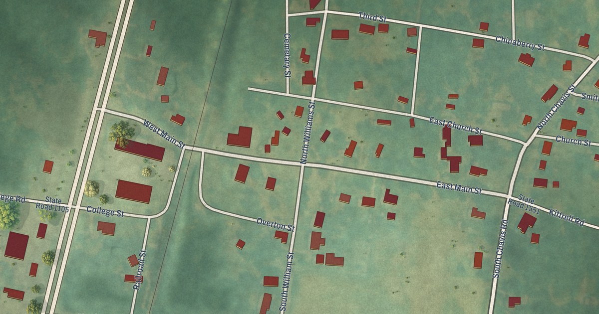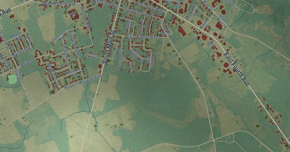
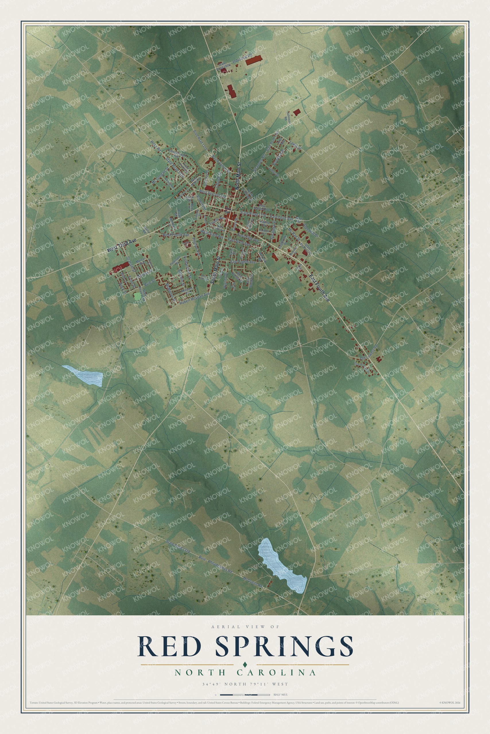
This beautifully detailed map of Red Springs, North Carolina was created in 2026 using aerial imagery combined with modern topographical, census, street and landmark data. It's a modern aerial view of Red Springs in Robeson County, North Carolina, that combines modern data with a vintage aesthetic. The roads feature printed names, and if you look closely you can find your exact house accurately shown in its correct location.
Explore an aerial view of Red Springs, North Carolina
On this map you'll find East Fourth Avenue, South Main Street, West Third Avenue, North Main Street, West Second Avenue, North Vance Street, State Road 1324, Hoke Road, Fourth Avenue, East Third Avenue, State Road 1776, Hubert McLean Avenue, and more. Each red shape is a building, so zoom in on the preview and look for yours.
Here is a piece of Red Springs history, in the words of the record. The record at dncr.nc.gov puts it this way: "Founded in 1896, Flora MacDonald College was originally known as Red Springs College."
Red Springs is a town in Robeson County. The Census Bureau counted 3,087 people here in 2020.
Take a closer look at the Red Springs map
Names on this map
These names are printed on this map.
Streets and roads: East Fourth Avenue, South Main Street, West Third Avenue, North Main Street, West Second Avenue, North Vance Street, State Road 1324, Hoke Road, Fourth Avenue, East Third Avenue, State Road 1776, Hubert McLean Avenue.
More street names, A to Z
Allen Avenue, Baldwin Street, Beck Street, Brigham Street, Broad Street, Brooks Avenue, Buie - Philadelphus Road, Buie Street, Church Street, Cross Street, Dairy Road, Eastbrook Drive, East Eighth Avenue, East Fifth Avenue, East Second Avenue, East Sixth Avenue, East Sunset Drive, Edinborough Avenue, Evon Road, Front Street, Graham Street, Grantham Street, Greenhill Drive, Henley Street, Industrial Road, James Street, John Ray Drive, Johnson Road, Lewis Street, Liberty Street, Malloy Street, Malpass Avenue, Maness Street, Marlboro Avenue, McArthur Street, Mc Googan Street, McLean Street, McLeod Road, McManus Street, McMillan Avenue, McPhaul Lane, McQueen Road, Mc Rae Street, Mercer Avenue, Middle Street, North College Street, Nottingham Lane, Old Lowery Road, Peterson Street, Phillips Avenue, Prince Charles Street, Quick Street, Richardson Street, Roberts Street, Robinwood Lane, Saratoga Street, Shannon Road, Shook Street, South College Street, Spring Street, State Road 1318, State Road 1325, State Road 1327, State Road 1644, State Road 1774, State Road 1780, State Road 1806, Taylor Street, Third Avenue, Warren Street, West Fifth Avenue, West Fourth Avenue, West McNeill Drive, West Sixth Avenue, West Sunset Drive, West Tenth Avenue, Williams Street.
Created by KNOWOL in 2026. The buildings are small red shapes, the roads carry their printed names, and shaded relief shows the shape of the land. The title panel reads "AERIAL VIEW OF RED SPRINGS NORTH CAROLINA" with 34°49' NORTH 79°11' WEST.
It suits a den, a classroom or a front hall, and it makes a gift for anyone with Red Springs roots. Open the preview and find the block you know. See sizes and frames for the Red Springs map.