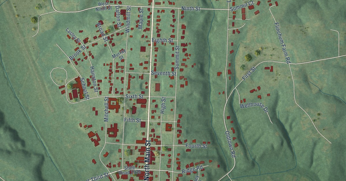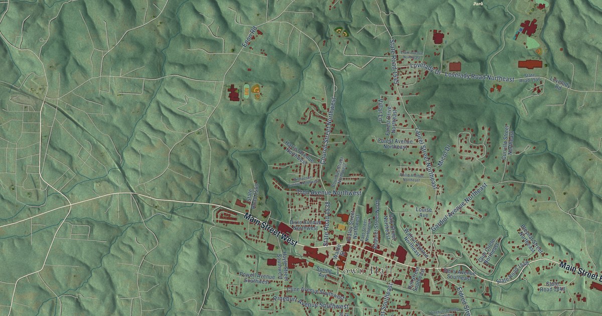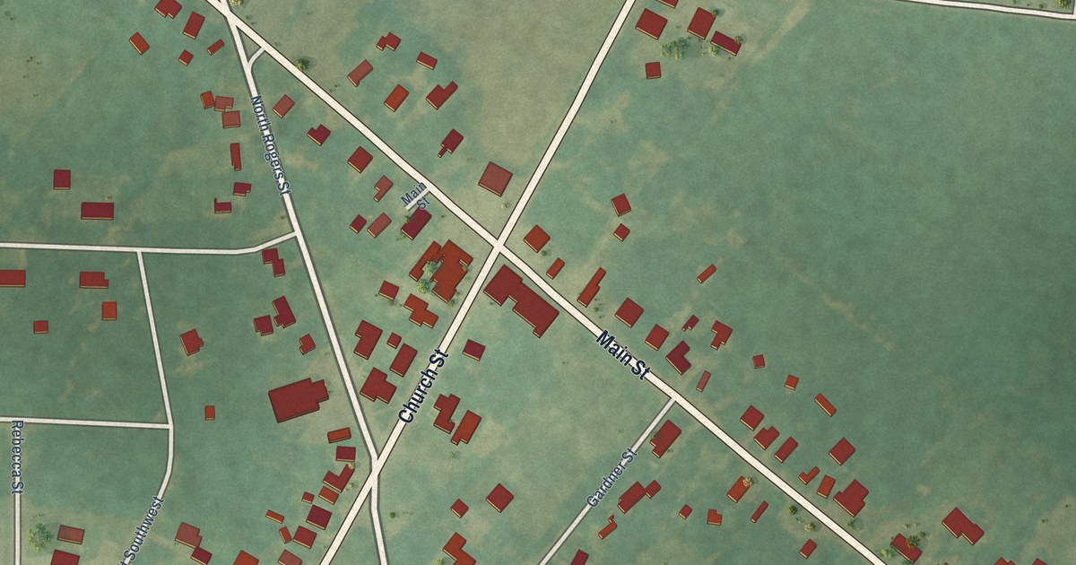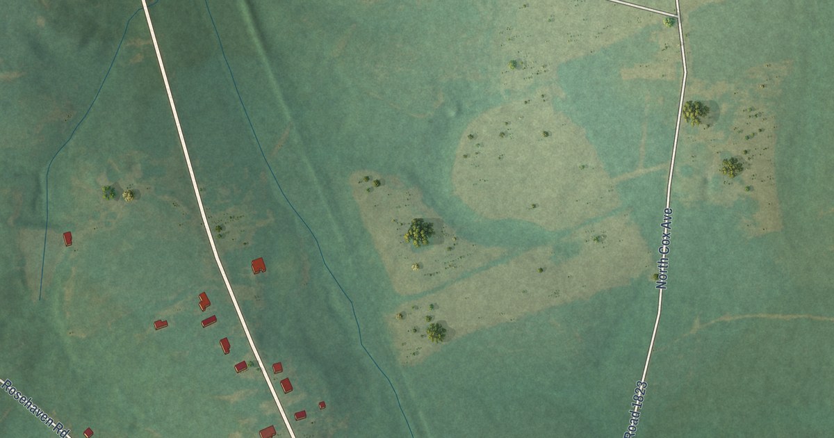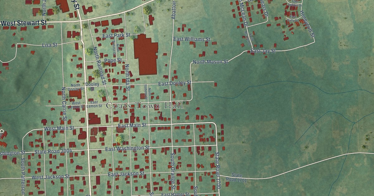
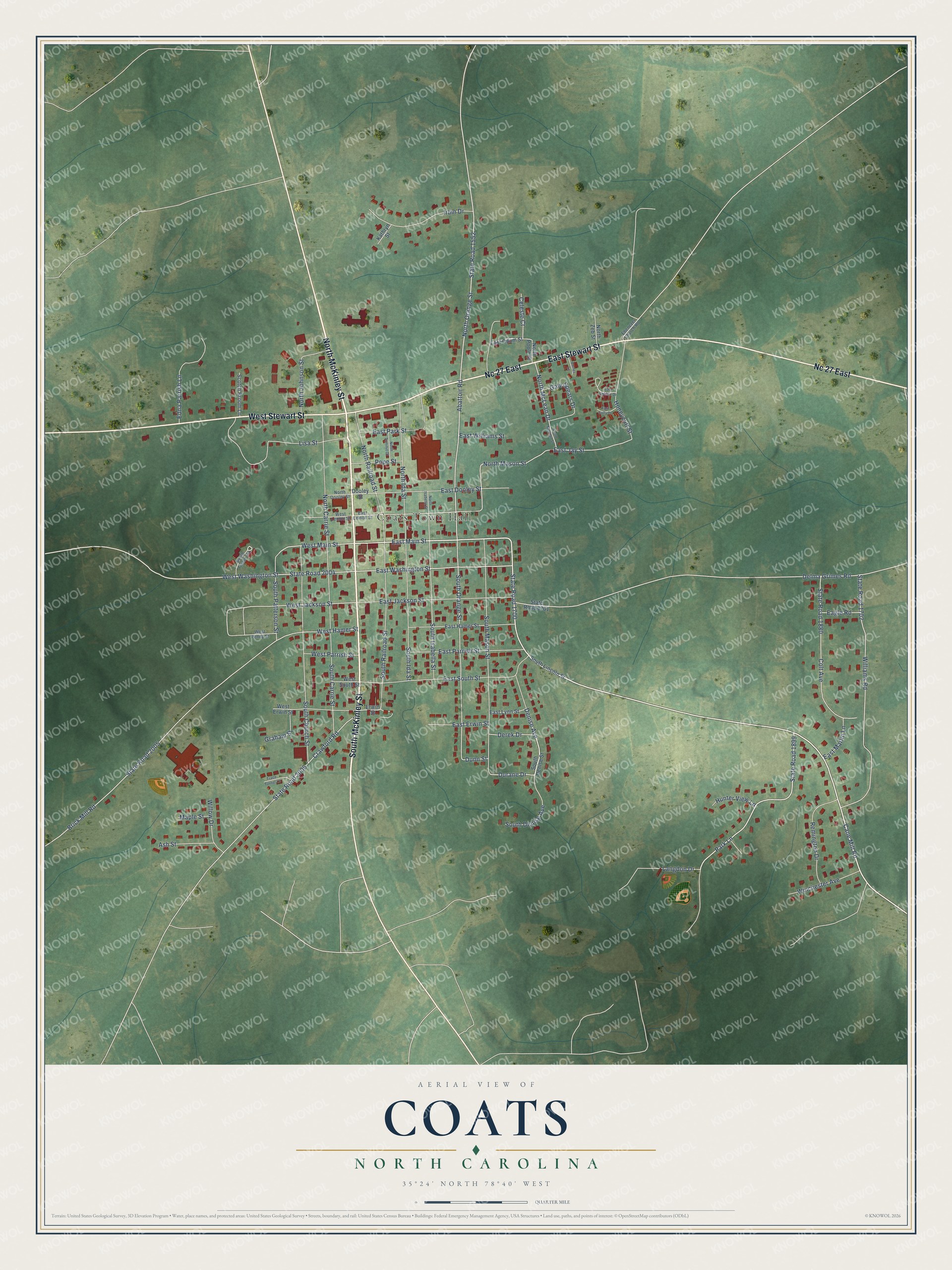
This beautifully detailed map of Coats, North Carolina was created in 2026 using aerial imagery combined with modern topographical, census, street and landmark data. It's a modern aerial view of Coats in Harnett County, North Carolina, that combines modern data with a vintage aesthetic. The roads feature printed names, and if you look closely you can find your exact house accurately shown in its correct location.
Explore an aerial view of Coats, North Carolina
On this map you'll find Coats Town Hall, North McKinley Street, South McKinley Street, West Stewart Street, Nc 27 East, East Stewart Street, State Road 1700, Cane Mill Road, East Main Street, State Road 1899, West Main Street, Denise Avenue, and more. Each red shape is a building, so zoom in on the preview and look for yours.
Here is a piece of Coats history, in the words of the record. The record at dncr.nc.gov puts it this way: "Aviation pioneer. His aerial shows helped popularize flying in N.C. Died in crash, Dec. 25, 1929. Grave 3 blks. W."
Coats is a town in Harnett County. The Census Bureau counted 2,155 people here in 2020.
Take a closer look at the Coats map
Names on this map
These names are printed on this map.
Places: Coats Town Hall.
Streets and roads: North McKinley Street, South McKinley Street, West Stewart Street, Nc 27 East, East Stewart Street, State Road 1700, Cane Mill Road, East Main Street, State Road 1899, West Main Street, Denise Avenue, Durane Drive.
More street names, A to Z
Abattoir Road, Ash Street, Brick Mill Road, Celeste Court, Colt Avenue, Cortez Lane, Crawford Road, Delma Grimes Road, Derek Drive, Dooley Street, Dunn Street, Eagle Road, East Debbie Drive, East Dooley Street, East Erwin Street, East Hamer Street, East Jackson Street, East Jay Street, East Lemon Street, East Lynn Street, East Marlin Lane, East Odum Street, East Park Street, East Parrish Street, East Sally Drive, East South Street, East Washington Street, East Williams Street, Ebenezer Church Road, Edna Parrish Lane, Erwin Street, Gale Spears Drive, Graham Street, Honeycutt Street, Hunter View Lane, Irbin Drive, Kathryn Street, Langdon Drive, Lisa Street, Maple Street, North Carrie Street, North Dooley Street, North Ida Street, North Isabella Street, North Johnson Street, North Mason Street, North McLean Drive, North McLean Street, North Orange Street, North Poole Street, North Railroad Street, North Summit Court, North Zeb Street, Park Lane, Pope Street, Remington Drive, Scotch Broom Lane, South Carrie Street, South Church Street, South Denise Avenue, South Denise Street, South Ida Street, South Isabella Street, South Lincoln Street, South Mason Street, South Orange Street, South Patterson Street, South Railroad Street, South Turner Circle, State Road 1552, State Road 1701, State Road 1702, State Road 1880, State Road 2004, State Road 2005, State Road 2006, Trace Turner Lane, West Erwin Street, West Hamer Street, West Jackson Street, West Lemon Street, West Parrish Street, West Penny Street, West South Street, West Washington Street, Williams Road, Willow Drive, Winchester Avenue.
Created by KNOWOL in 2026. The buildings are small red shapes, the roads carry their printed names, and shaded relief shows the shape of the land. The title panel reads "AERIAL VIEW OF COATS NORTH CAROLINA" with 35°24' NORTH 78°40' WEST.
It suits a den, a classroom or a front hall, and it makes a gift for anyone with Coats roots. Open the preview and find the block you know. See sizes and frames for the Coats map.