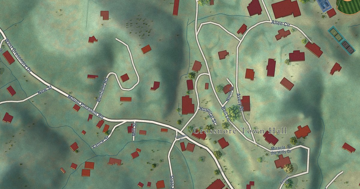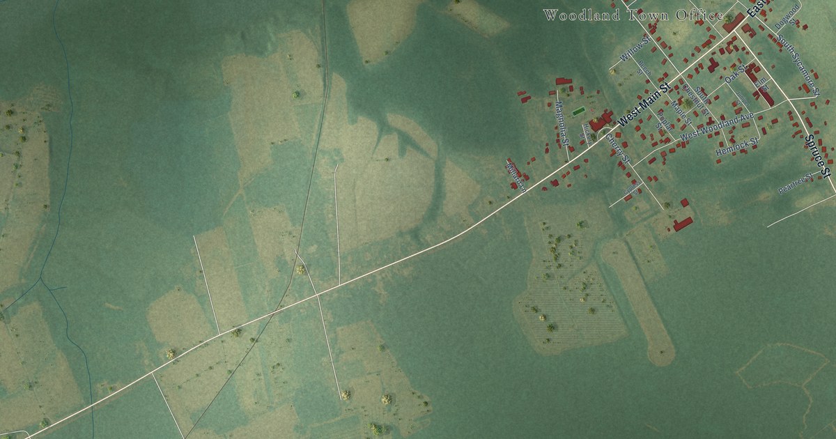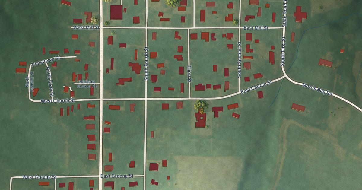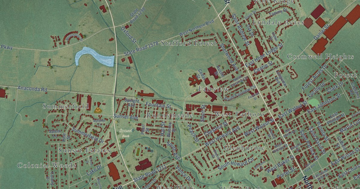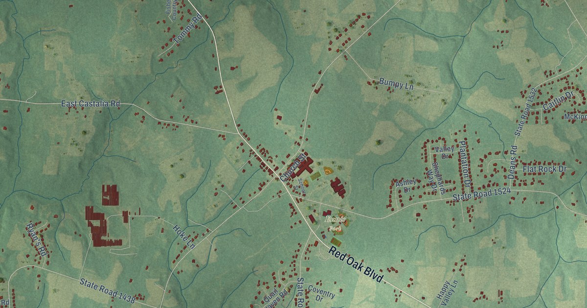
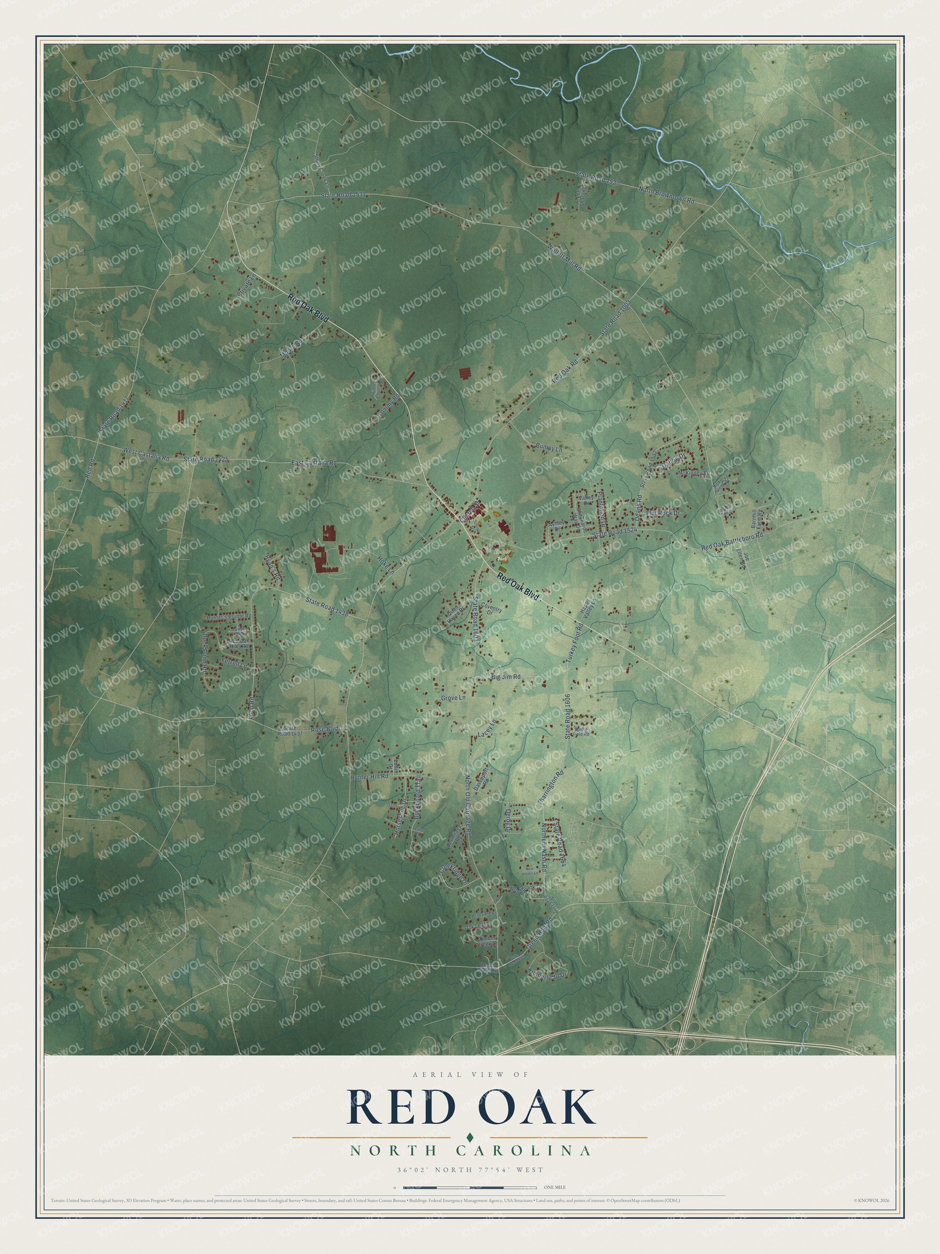
This beautifully detailed map of Red Oak, North Carolina was created in 2026 using aerial imagery combined with modern topographical, census, street and landmark data. It's a modern aerial view of Red Oak in Nash County, North Carolina, that combines modern data with a vintage aesthetic. The roads feature printed names, and if you look closely you can find your exact house accurately shown in its correct location.
Explore an aerial view of Red Oak, North Carolina
On this map you'll find Ennis Park, Red Oak Boulevard, State Road 1606, Buckboard Trail, Horseshoe Drive, Red Oak Road, State Road 1003, State Road 1531, Wollett Mill Road, North Old Carriage Road, State Road 1603, Red Oak Battleboro Road, and more. Each red shape is a building, so zoom in on the preview and look for yours.
Every town has a first chapter, and Red Oak is no exception. The North Carolina Gazetteer puts it this way: "Red Oak town in N Nash County. Settled about 1880 and named for a grove of red oaks at the site. Inc. 1961. Alt. 225."
Red Oak is a town in Nash County. The Census Bureau counted 3,342 people here in 2020.
Take a closer look at the Red Oak map
Names on this map
These names are printed on this map.
Places: Ennis Park.
Streets and roads: Red Oak Boulevard, State Road 1606, Buckboard Trail, Horseshoe Drive, Red Oak Road, State Road 1003, State Road 1531, Wollett Mill Road, North Old Carriage Road, State Road 1603, Red Oak Battleboro Road, State Road 1524.
More street names, A to Z
Ashley Drive, Barnhill Farm Road, Big Jim Road, Briarfield Road, Bumpy Lane, Caitlin Drive, Chaise Drive, Church Street, Coventry Drive, Creek Lane, Creekridge Drive, Davenport Road, Deans Road, Derby Drive, Duck Pond Road, East Castalia Road, Ferrell Lane, Fisher Country Drive, Flat Rock Drive, Green Hills Road, Grove Lane, Happy Valley Lane, Hermitage Road, Hickory Creek Court, Hoke Lane, Hunter's Pointe Road, Hunter Hill Road, Joe Ellen Road, Kimberly Jo Drive, Lacey Lane, Lee Sharon Lane, Loftin Drive, Loop Road, McKinney Road, Moore Road, New Haven Lane, North Browntown Road, Northern Nash Road, Oak Leaf Drive, Plantation Drive, Private Lane, Quail Haven Road, Red Oak Hills Road, Red Road, Reges Store Road, Rose Boulevard, Ryan's Road, Sandy Pine Court, School Street, Shephards Way Drive, Spring Field Road, State Road 1417, State Road 1425, State Road 1437, State Road 1438, State Road 1530, State Road 1532, State Road 1609, State Road 1646, State Road 1654, Stony Creek Lane, Swan Road, Tharrington Road, Timber Creek Drive, Tommy Road, Turkey Foot Road, Valley Drive, West Castalia Road, Woodbrook Drive.
Created by KNOWOL in 2026. The buildings are small red shapes, the roads carry their printed names, and shaded relief shows the shape of the land. The title panel reads "AERIAL VIEW OF RED OAK NORTH CAROLINA" with 36°02' NORTH 77°54' WEST.
Hang it in the hallway, the office or the cabin, or give it to someone who left Red Oak and still calls it home. Open the preview and look for a street you know. See sizes and frames for the Red Oak map.