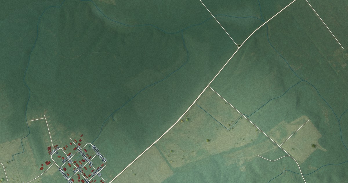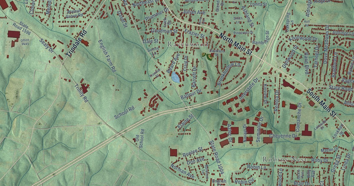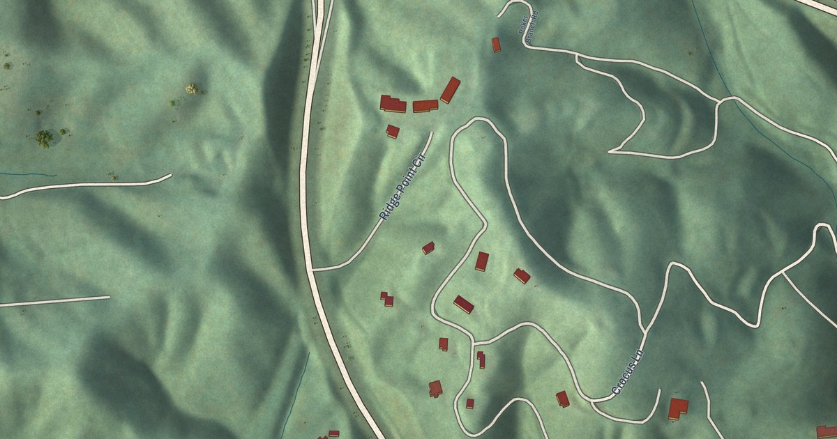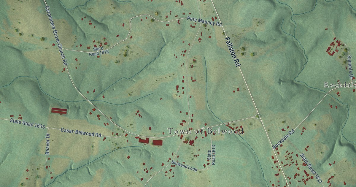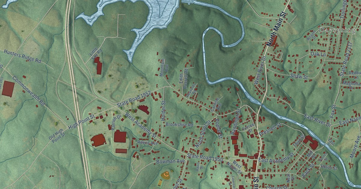
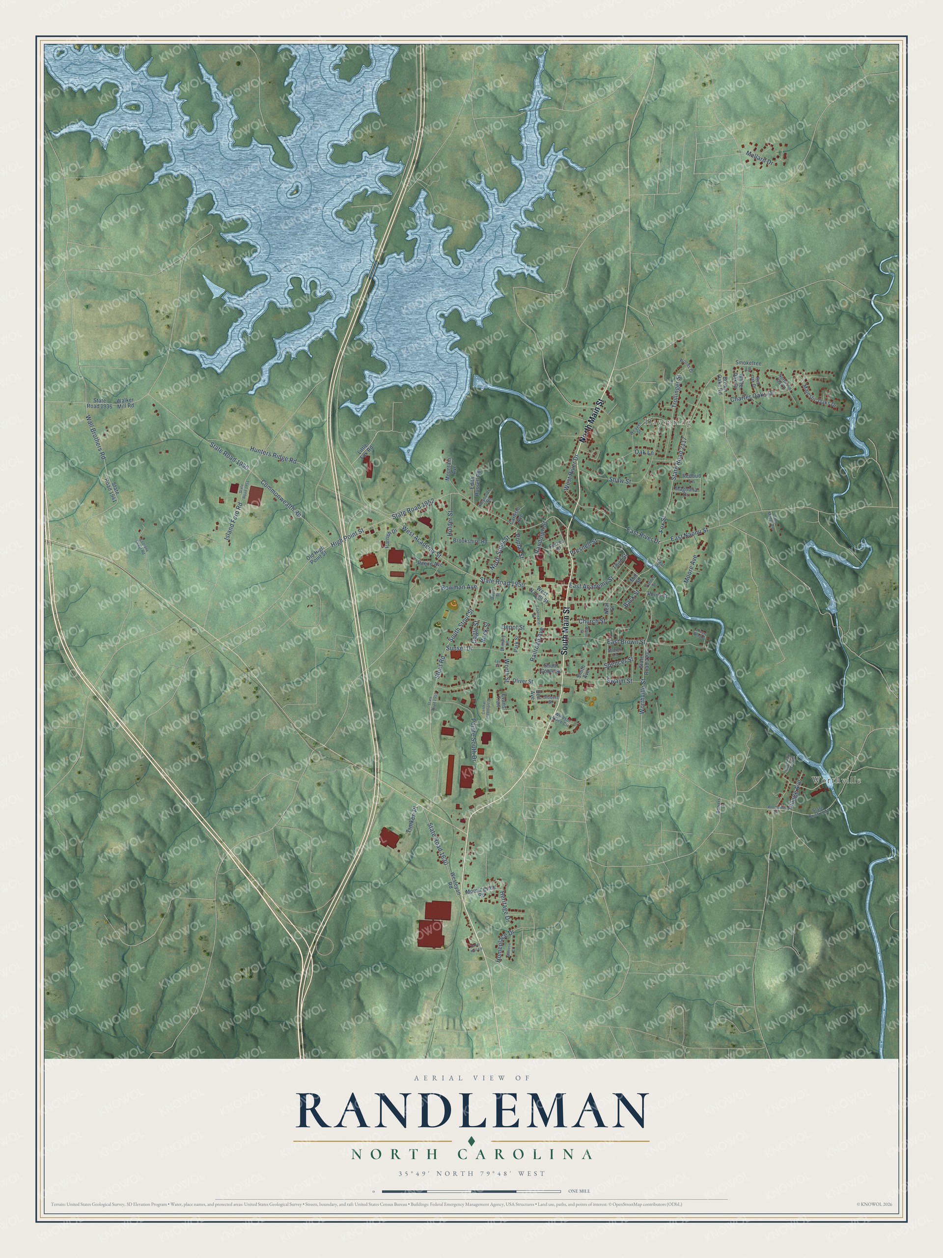
This beautifully detailed map of Randleman, North Carolina was created in 2026 using aerial imagery combined with modern topographical, census, street and landmark data. It's a modern aerial view of Randleman in Randolph County, North Carolina, that combines modern data with a vintage aesthetic. The roads feature printed names, and if you look closely you can find your exact house accurately shown in its correct location.
Explore an aerial view of Randleman, North Carolina
On this map you'll find Worthville, Dayspring, South Main Street, North Main Street, South Stout Street, East Naomi Street, East River Drive, State Road 1952, High Point Street, Commonwealth Road, State Road 1990, West Academy Street, and more. Each red shape is a building, so zoom in on the preview and look for yours.
Here is a piece of Randleman history, in the words of the record. The North Carolina Gazetteer puts it this way: "First known as Dicks for Peter Dicks, who built a gristmill there approx. 1830; in 1848 a cotton mill was built there and the name changed to Union Factory. In 1866 the name was changed to Randleman for John B. Randleman, one of the owners of the mill."
Randleman is a city in Randolph County. The Census Bureau counted 4,595 people here in 2020.
Take a closer look at the Randleman map
Names on this map
These names are printed on this map.
Places: Worthville and Dayspring.
Streets and roads: South Main Street, North Main Street, South Stout Street, East Naomi Street, East River Drive, State Road 1952, High Point Street, Commonwealth Road, State Road 1990, West Academy Street, State Road 1950, Wall Brothers Road.
More street names, A to Z
Back Street, Bell Avenue, Bowers Lane, Bowman Avenue, Brittany Lane, Brookshire Road, Brown Oaks Road, Cagle Street, Carlisle Avenue, Central Piedmont Court, Charter Oaks Drive, Church Street, Coltrane Cedar Road, Davis Street, Depot Street, East Academy Street, East Brown Street, East Street, Edith Russell Road, Evans Trail, Ferree Street, Fox Street, Hazel Hull Lane, Heritage Drive, Holder Street, Homeplace Drive, Hunters Ridge Road, Island Ford Road, Lee Street, Little Fox Road, Lou Myers Lane, Magnolia Drive, Majestic Oaks Drive, Mallard Drive, Mill Street, Mimosa Court, Moore Avenue, Morningside Road, Mountain Avenue, Neal Street, North Pin Oak Drive, North Stout Street, Oak Lane, Old High Point Street, Oliver Street, Park Street, Parrish Drive, Pointe South Drive, Poplar Street, Presnell Street, Railroad Avenue, Randolph Street, Redbud Lane, Red Oak Drive, Reece Avenue, Reynolds Road, River Park Road Extension, Rivers Bend Drive, Rock Street, Sharon Lane, Shaw Street, Sibbett Street, Smith Avenue, Smoketree Lane, South Coble Street, Spencer Street, State Road 1630, State Road 1936, State Road 1941, State Road 1951, State Road 1955, State Road 2117, State Road 2122, State Road 2234, Stout Road, Sunset Drive, Swaim Street, Tabernacle Street, Third Street, Timken Place, Trollinger Street, Upton Street, Varner Street, Village Avenue, Walker Mill Road, Weaver Street, Wesleyan Road, West Naomi Street, West River Drive, White Oak Drive, White Street, Windsor Place Circle, Woods Drive, Worth Street, Worthville Road, Worthville Street.
Created by KNOWOL in 2026. The buildings are small red shapes, the roads carry their printed names, and shaded relief shows the shape of the land. The title panel reads "AERIAL VIEW OF RANDLEMAN NORTH CAROLINA" with 35°49' NORTH 79°48' WEST.
It suits a den, a classroom or a front hall, and it makes a gift for anyone with Randleman roots. Open the preview and find the block you know. See sizes and frames for the Randleman map.