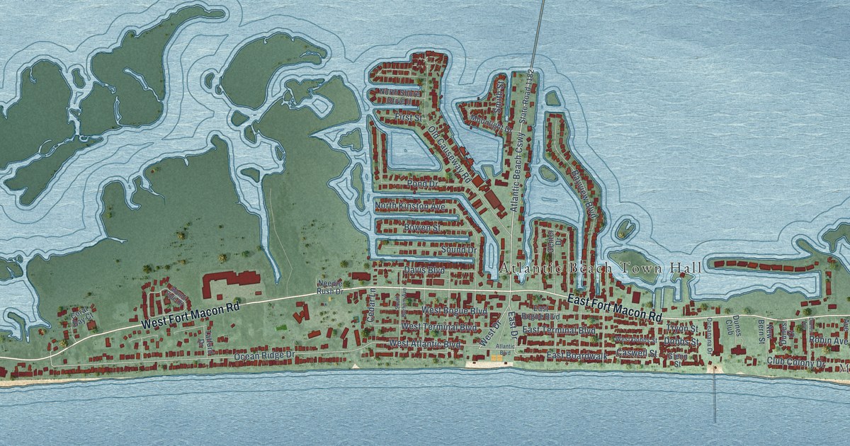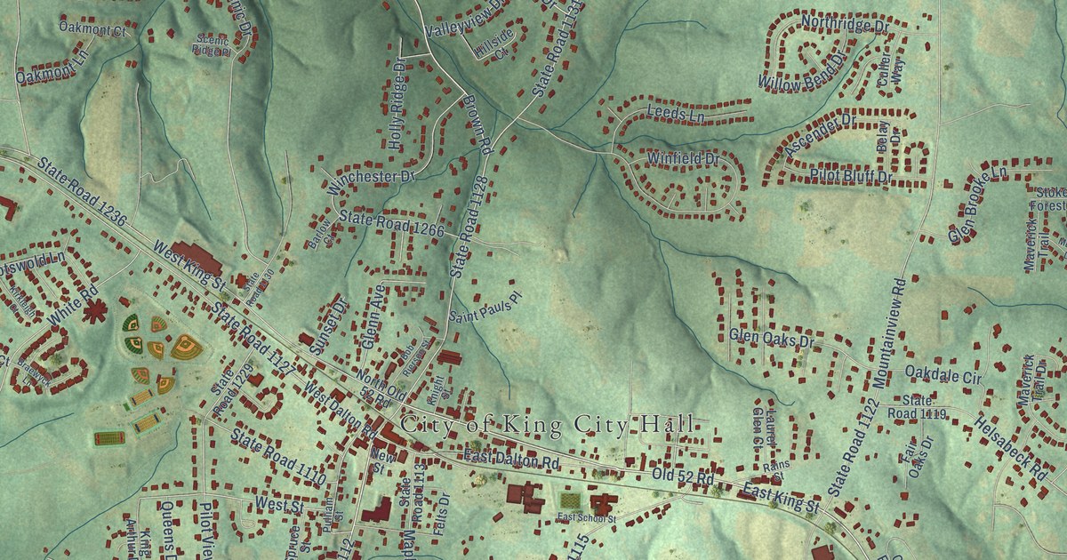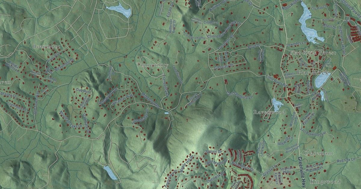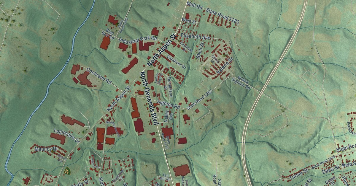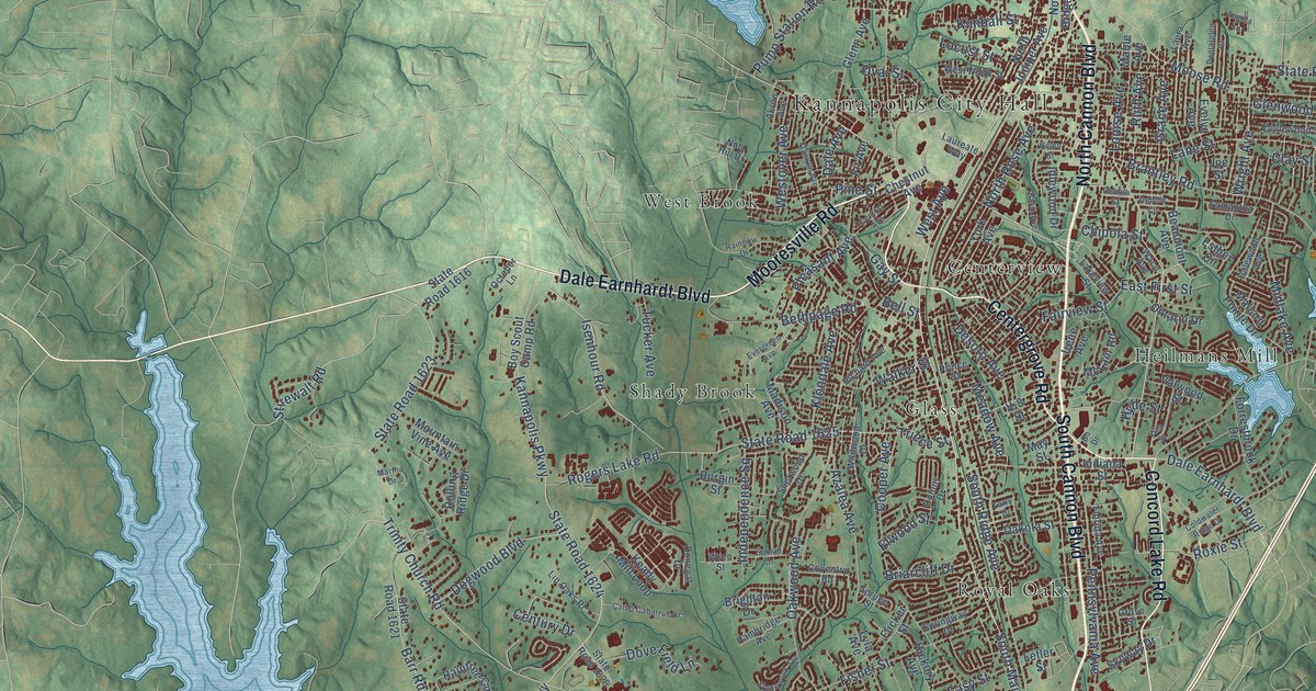
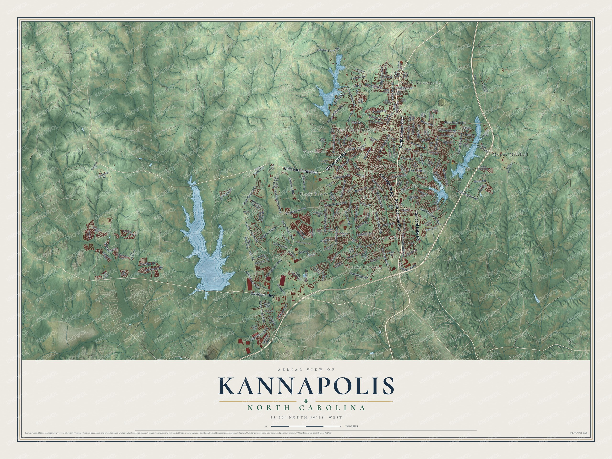
This beautifully detailed map of Kannapolis, North Carolina was created in 2026 using aerial imagery combined with modern topographical, census, street and landmark data. It's a modern aerial view of Kannapolis in Cabarrus County, North Carolina, that combines modern data with a vintage aesthetic. The roads feature printed names, and if you look closely you can find your exact house accurately shown in its correct location.
Explore an aerial view of Kannapolis, North Carolina
On this map you'll find Kannapolis City Hall, Centerview, Cooks Crossing, Glass, Heilmans Mill, Mount Mitchell, North Kannapolis, Royal Oaks, Shady Brook, West Brook, South Cannon Boulevard, North Cannon Boulevard, and more. Each red shape is a building, so zoom in on the preview and look for yours.
Kannapolis has a story worth telling. The North Carolina Gazetteer puts it this way: "Kannapolis city in S Rowan and N Cabarrus Counties. Alt. 765. Until inc. in 1984, it was the seventeenth-largest unincorporated community in the United States and the largest in North Carolina. James William Cannon bought 600 acres there along the Southern Railway tracks in 1905; there he built houses and a mill, which began production in 1908. Cannon Mills, noted for manufacture of towels, was there."
Kannapolis is a city in Cabarrus County. The Census Bureau counted 53,114 people here in 2020.
Take a closer look at the Kannapolis map
Names on this map
These names are printed on this map.
Places: Kannapolis City Hall, Centerview, Cooks Crossing, Glass, Heilmans Mill, Mount Mitchell, North Kannapolis, Royal Oaks, Shady Brook and West Brook.
Streets and roads: South Cannon Boulevard, North Cannon Boulevard, Dale Earnhardt Boulevard, Davidson Highway, Mooresville Road, Centergrove Road, Concord Lake Road, South Main Street, North Main Street, East First Street, Louise Avenue, Kannapolis Parkway.
More street names, A to Z
Afton Run, Akron Avenue, Alabaster Drive, Alta Way, Angela Lane, Applegate Drive, Archdale Drive, Ashe Avenue, Azalea Avenue, Barr Road, Basin Avenue, Bayfield Parkway, Beaumont Avenue, Bell Street, Bethpage Road, Biscayne Drive, Bo Drive, Boy Scout Camp Road, Brantley Road, Briarcliff Drive, Brighton Drive, Burgin Street, Camp Cabarrus Drive, Camp Julia Road, Cannon Farm Road, Castlebrook Drive, Cedar Hill Drive, Central Avenue, Century Drive, Chestnut Avenue, China Grove Road, Chipola Street, Clay Street, Clermont Avenue, Cloverleaf Parkway, Coldwater Ridge Drive, Colony Drive, Cooper Avenue, Corl Road, Corriher Street, Coventry Road, Crusader Way, Cub Street, Dakota Street, Dale Avenue, Dalewood Avenue, Davidson Road, Debbie Circle, Debbie Street, Delaney Drive, Desoto Avenue, Dogwood Boulevard, Donegal Drive, Dove Field Lane, East 18th Street, East 20th Street, East 22nd Street, Easy Street, Echerd Street, Elwood Street, Englewood Street, Enochville Road, Esther Circle, Evelyn Avenue, Evergreen Avenue, Fairview Street, Fairway Drive, Fir Avenue, Fisher Street, Flicker Street, Florida Avenue, Forrestbrook Drive, Franklin Avenue, Gay Street, Glen Afton Boulevard, Glendale Avenue, Glenn Avenue, Glenwood Street, Grace Avenue, Grove Street, Hambridge Avenue, Hardwood Lane, Haven Street, Helen Street, Hickory Avenue, Hidden Valley Drive, Hyde Street, Idlewood Drive, Independence Square, Indiana Street, Irene Avenue, Isaac Drive, Isenhour Road, Ivory Lane, Jet Street, Jim Johnson Road, Joe Street, Kannaplosi Parkway, Keady Mill Loop, Kimball Street, Klondale Avenue, Lakeview Street, Lane Street, Larry Drive, Laura Avenue, Laureate Way, Lefler Street, Linda Avenue, Lin Oaks Place, Lockwood Road, Locust Street, Lyla Avenue, Mable Avenue, Madison Avenue, Mallard Pointe Drive, Martha Drive, May Street, McClenny Drive, McLain Road, Meadow Avenue, Midlake Avenue, Moose Road, Mountain Vine Avenue, Nob Hill Drive, North Juniper Avenue, North Ridge Avenue, North Rose Avenue, Oakwood Avenue, October Lane, Old Beatty Ford Road, Ontario Drive, Orphanage Road, Oval Street, Pennsylvania Avenue, Pine Street, Pleasant Avenue, Poplarglen Drive, Prince Street, Pump Station Road, Rainbow Drive, Raintree Circle, Rice Street, Richard Avenue, Riverfarm Boulevard, Rogers Lake Road, Rolling Ridge Drive, Roxie Street, Ruth Avenue, Samantha Drive, Sapphire Trail, Scott Street, Sherwood Drive, Sides Road, Skyway Drive, South Chapel Street, South Ridge Avenue, Springway Drive, Spruce Street, Stadium Drive, Stanley Drive, State Road 1002, State Road 1308, State Road 1430, State Road 1616, State Road 1620, State Road 1621, State Road 1622, State Road 1623, State Road 1624, State Road 1625, State Road 1828, State Road 1829, State Road 2000, State Road 2180, Stirewalt Road, Stonewyck Avenue, Sudbury Road, Sunset Drive, Tailwater Drive, Travertine Trail, Treeline Drive, Triece Street, Trinity Church Road, Tucker Avenue, V-8 Street, Valwood Street, Villa Street, Waco Avenue, Walker Street, West 16th Street, West 21st Street, West 22nd Street, West Avenue, Westlake Drive, West Ninth Street, Westover Avenue, Wildwood Drive, Wren Street, Wright Avenue, York Avenue.
Created by KNOWOL in 2026. The buildings are small red shapes, the roads carry their printed names, and shaded relief shows the shape of the land. The title panel reads "AERIAL VIEW OF KANNAPOLIS NORTH CAROLINA" with 35°30' NORTH 80°38' WEST.
It looks right in a kitchen, an office or a den, and it's a gift for anyone who grew up in Kannapolis or moved away. Open the preview and find your street. See sizes and frames for the Kannapolis map.