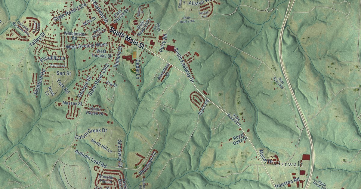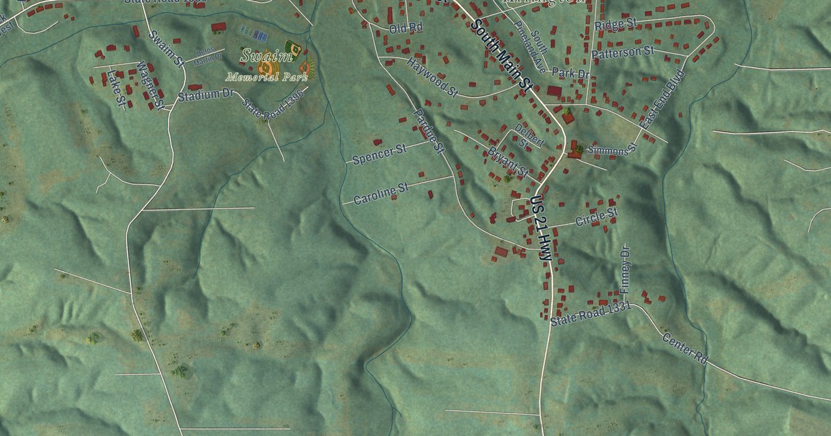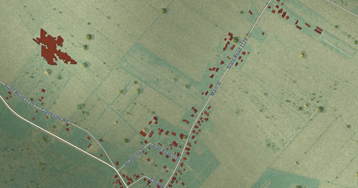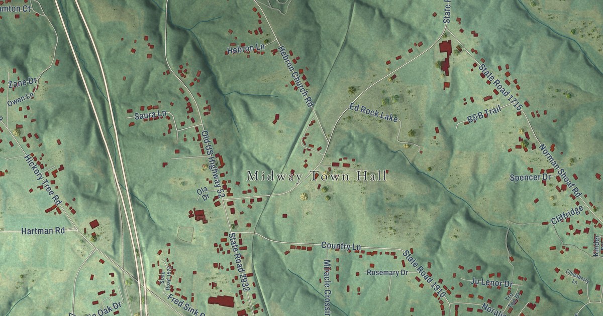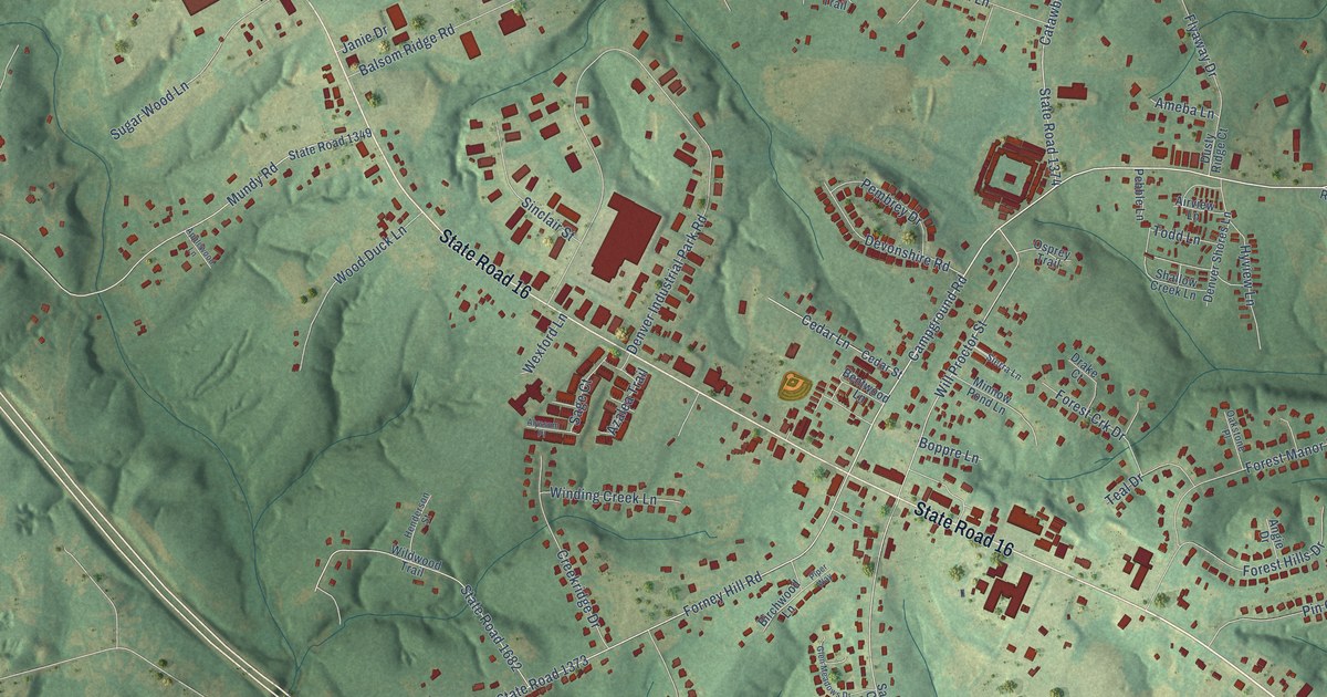
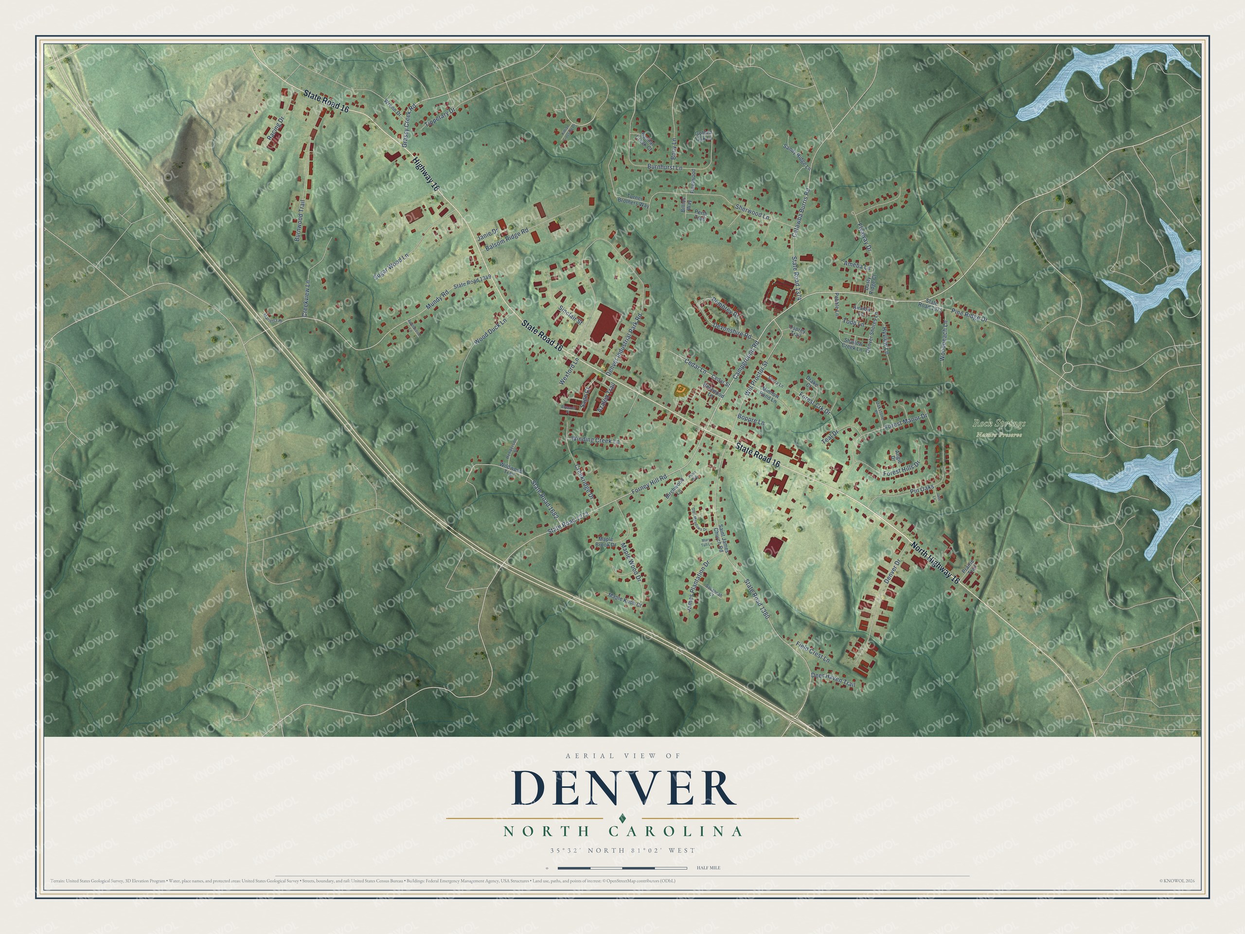
This beautifully detailed map of Denver, North Carolina was created in 2026 using aerial imagery combined with modern topographical, census, street and landmark data. It's a modern aerial view of Denver in Lincoln County, North Carolina, that combines modern data with a vintage aesthetic. The roads feature printed names, and if you look closely you can find your exact house accurately shown in its correct location.
Explore an aerial view of Denver, North Carolina
On this map you'll find Rock Springs Nature Preserve, North Highway 16, State Road 16, Highway 16, Campground Road, Grassy Creek Road, Forney Hill Road, State Road 1373, State Road 1380, Denver Industrial Park Road, Mundy Road, Sherwood Lane, and more. Each red shape is a building, so zoom in on the preview and look for yours.
Denver has a story worth telling. Denver was settled about 1770 and first known as Dry Pond, for a swampy area nearby. In 1873 the school principal, D. Matt Thompson, renamed it for the capital of Colorado, which was then being considered for admission to the Union. The town was incorporated in 1877. That's from the North Carolina Gazetteer.
Denver is a community in Lincoln County. The Census Bureau counted 2,697 people here in 2020. Denver sits about 5 miles southwest of Lake Norman of Catawba, 5 miles northwest of Westport and 6 miles west of Lake Norman of Iredell. The map prints the town name in its title panel, with the coordinates below it.
Take a closer look at the Denver map
Names on this map
These names are printed on this map.
Places: Rock Springs Nature Preserve.
Streets and roads: North Highway 16, State Road 16, Highway 16, Campground Road, Grassy Creek Road, Forney Hill Road, State Road 1373, State Road 1380, Denver Industrial Park Road, Mundy Road, Sherwood Lane, Catawba Burris Road.
More street names, A to Z
Airview Lane, Alyssum Place, Ameba Lane, Angie Drive, Applewood Lane, Azalea Trail, Balsom Ridge Road, Bentwood Lane, Billies Way, Birchwood Lane, Boppre Lane, Bouy Lane, Burnhurst Lane, Burnwood Trail, Cedar Lane, Cedar Street, Creekridge Drive, Creekview Lane, Deer Haven Trail, Denver Drive, Denver Shores Lane, Devonshire Road, Drake Court, Dusty Ridge Court, Field Crest Lane, Fleetwood, Flyaway Drive, Forest Crk Drive, Forest Hills Drive, Forest Manor Drive, Glen Meadows Drive, Golden Oak Lane, Henderson Street, Hyview Lane, Jade Lane, James Plantation Drive, Janie Drive, Killian Crossing Drive, Maple Brook Drive, Maple Knob Court, Maple Wood Drive, Marietta Place, Mary Tull Lane, Minnow Pond Lane, Oakstone Place, Osprey Trail, Pebble Lane, Pembrey Drive, Perth Trail, Pine Ridge Drive, Pin Oaks, Piper Way, Prairie Trail, Racing Drive, Sage Court, Saint James Church Road, Sandal Creek Court, Sandy Ridge Lane, Savannah Court, Shallow Creek Lane, Sierra Lane, Sinclair Street, State Road 1349, State Road 1374, State Road 1375, State Road 1682, Sugar Wood Lane, Teal Drive, Tipperary Drive, Todd Lane, Turner Brothers Way, Wexford Lane, Wildwood Trail, Will Proctor Street, Winding Creek Lane, Woodbeach Lane, Wood Duck Lane, Wrenn Drive.
See it on a wall
The Denver map as a framed print. Swipe for more.


Created by KNOWOL in 2026. The buildings are small red shapes, the roads carry their printed names, and shaded relief shows the shape of the land. The title panel reads "AERIAL VIEW OF DENVER, NORTH CAROLINA" with 35°32' NORTH 81°02' WEST.
It looks right in a kitchen, an office or a den, and it's a gift for anyone who grew up in Denver or moved away. Open the preview and find your street. See sizes and frames for the Denver map.