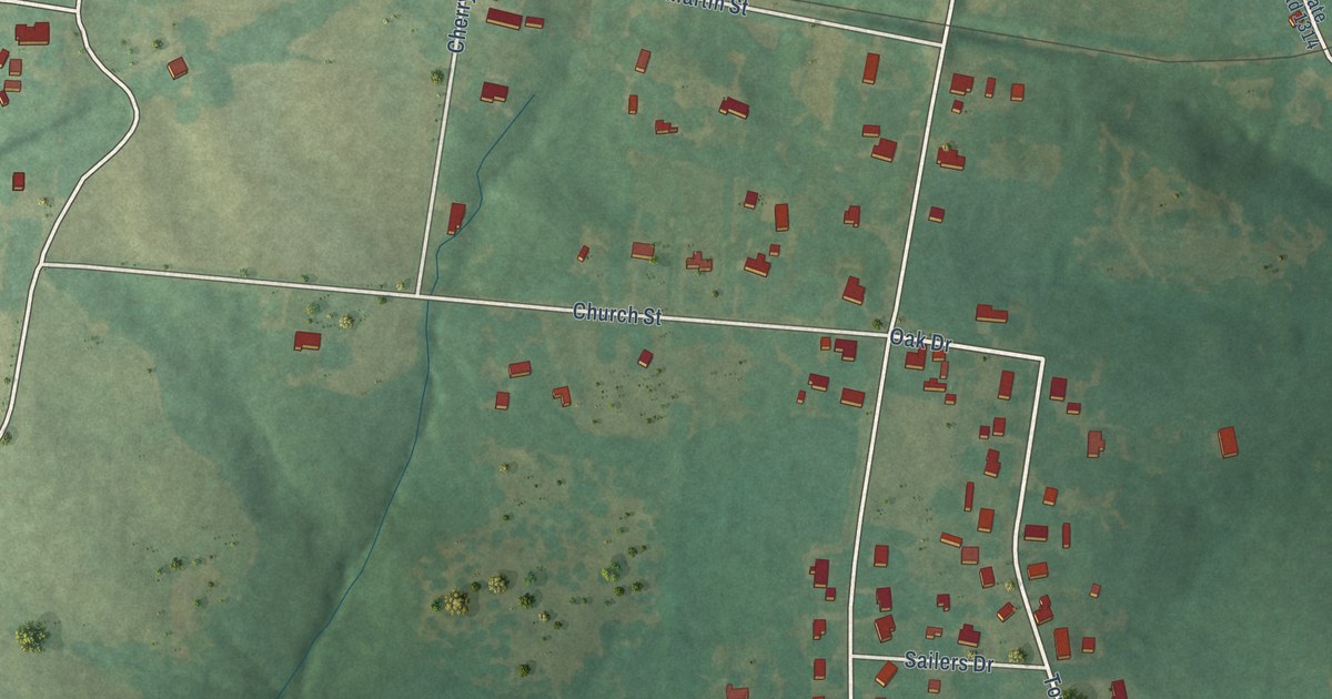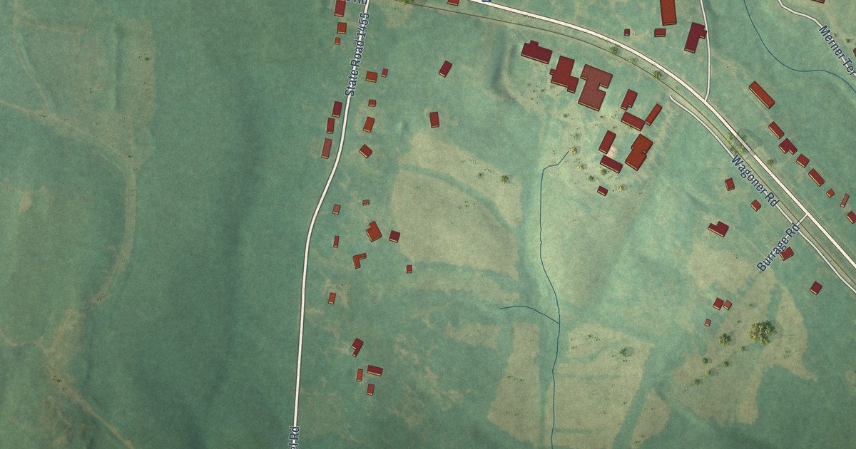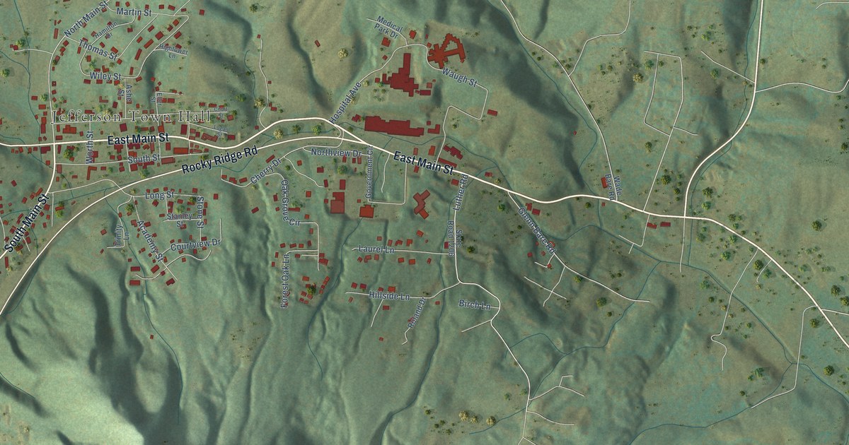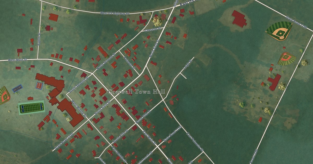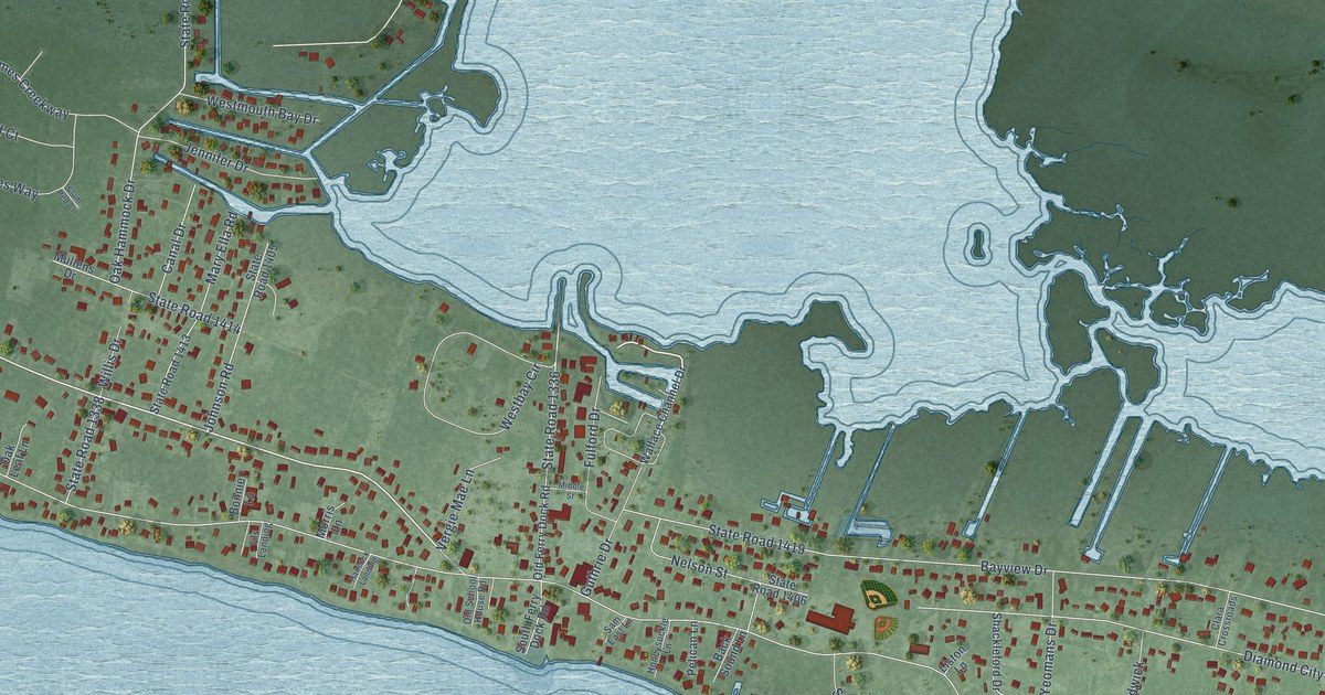
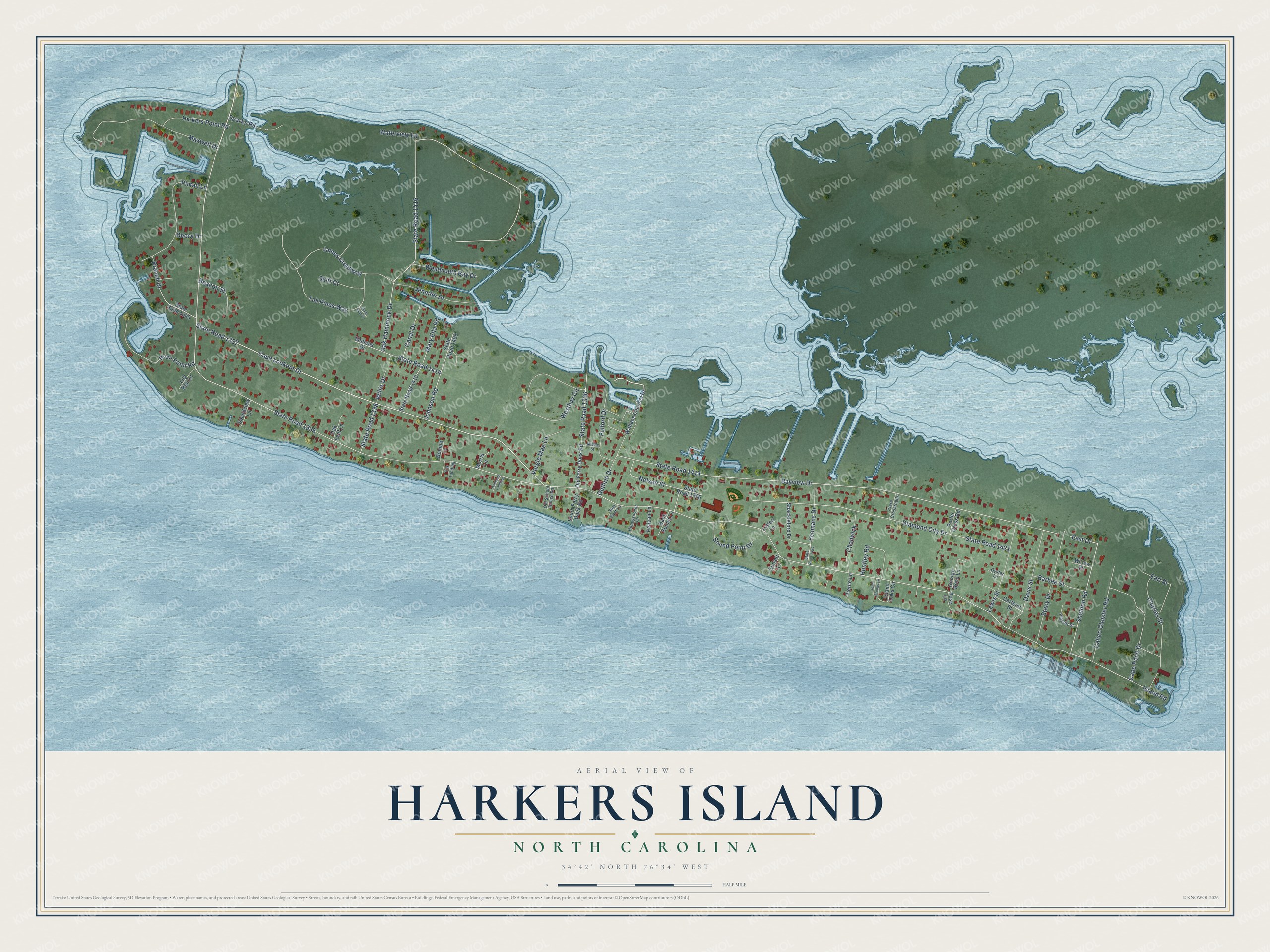
This beautifully detailed map of Harkers Island, North Carolina was created in 2026 using aerial imagery combined with modern topographical, census, street and landmark data. It's a modern aerial view of Harkers Island in Carteret County, North Carolina, that combines modern data with a vintage aesthetic. The roads feature printed names, and if you look closely you can find your exact house accurately shown in its correct location.
Explore an aerial view of Harkers Island, North Carolina
On this map you'll find Island Road, State Road 1337, State Road 1335, State Road 1419, Bayview Drive, Oak Hammock Drive, State Road 1416, Cape Lookout Drive, Diamond City Drive, State Road 1421, Tall Pines Way, Maxwell Drive, and more. Each red shape is a building, so zoom in on the preview and look for yours.
Harkers Island is a community in Carteret County. The Census Bureau counted 1,127 people here in 2020. Harkers Island sits about 3 miles south of Gloucester, 3 miles southwest of Marshallberg and 6 miles east of Beaufort. The map prints the town name in its title panel, with the coordinates below it.
Take a closer look at the Harkers Island map
Names on this map
These names are printed on this map.
Streets and roads: Island Road, State Road 1337, State Road 1335, State Road 1419, Bayview Drive, Oak Hammock Drive, State Road 1416, Cape Lookout Drive, Diamond City Drive, State Road 1421, Tall Pines Way, Maxwell Drive.
More street names, A to Z
Back Sound Lane, Barbee Street, Beacon Street, Bonnie Lane, Branch Drive, Calico Cloister Road, Canal Drive, Cape Point Drive, Carteret Street, Chadwick, Charles Street, Clam Bed Court, Clara Crossroads, Davis Street, Decoy Drive, Earl Street, East Drive, Fulford Drive, George Rose Lane, Guthrie Drive, Hancock Landing, Harkers Point Road, Honeysuckle Lane, Huntley Road, Island Oaks Circle, James Creekway, Jennifer Drive, John Brooks Lane, Johnson Road, Lewis Street, Lily Bell Lane, Liston Lane, Mary Ella Road, Middle Street, Morris Lane, Mullens Drive, Nelson Street, Oak Leaf Lane, Old Ferry Dock Road, Old School House Road, Oyster Lane, Pelican Lane, Pierce Lane, Piggott Street, Pintail Lane, Porter Cross Road, Rose Lane, Rush Point Road, Sam East Lane, Shackleford Drive, Sheldon Road, Skiff Court, Sound Point Drive, Soundview Lane, South Ferry Dock Road, Sparks Road, Stacy Drive, State Road 1336, State Road 1338, State Road 1345, State Road 1405, State Road 1406, State Road 1413, State Road 1414, State Road 1424, Sunset Lane, Tils Landing, Vergie Mae Lane, Wallace Channel Drive, Waterview Lane, Westbay Circle, Westmouth Bay Drive, Willis Drive, Willow Street, Yeomans Drive.
See it on a wall
The Harkers Island map as a framed print. Swipe for more.


Created by KNOWOL in 2026. The buildings are small red shapes, the roads carry their printed names, and shaded relief shows the shape of the land. The title panel reads "AERIAL VIEW OF HARKERS ISLAND, NORTH CAROLINA" with 34°42' NORTH 76°34' WEST.
Hang it in the hallway, the office or the cabin, or give it to someone who left Harkers Island and still calls it home. Open the preview and look for a street you know. See sizes and frames for the Harkers Island map.