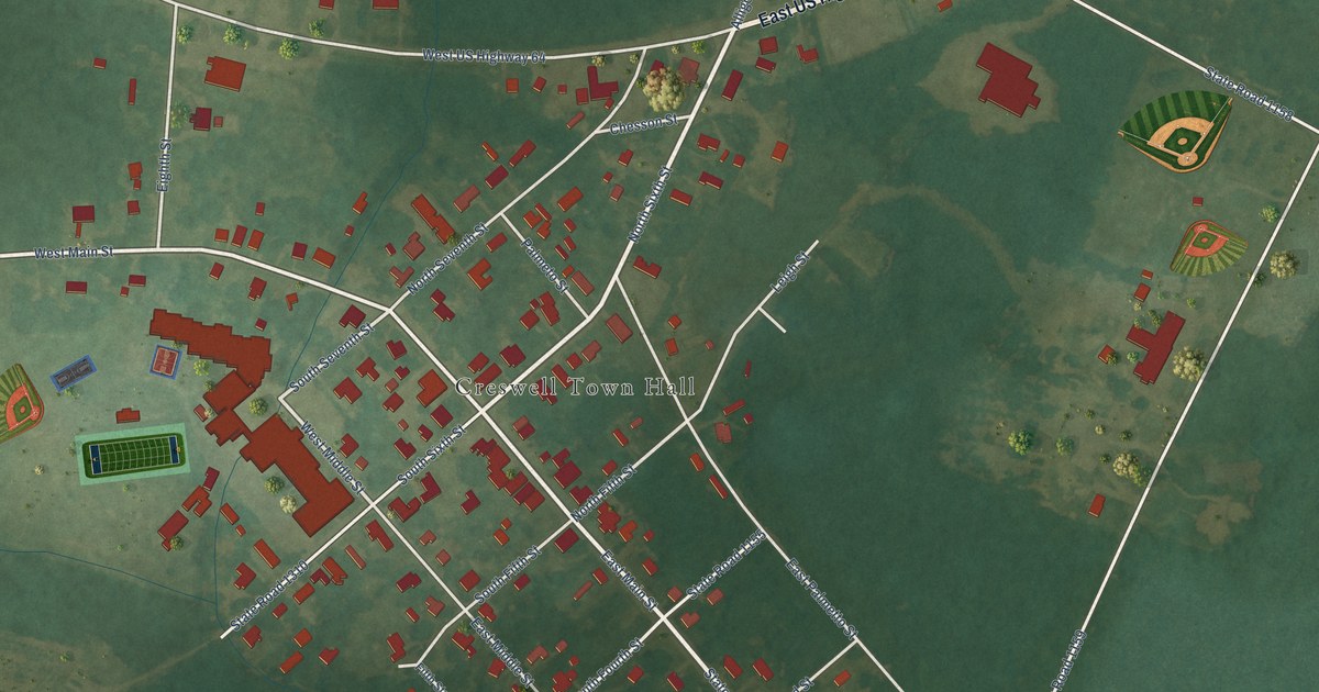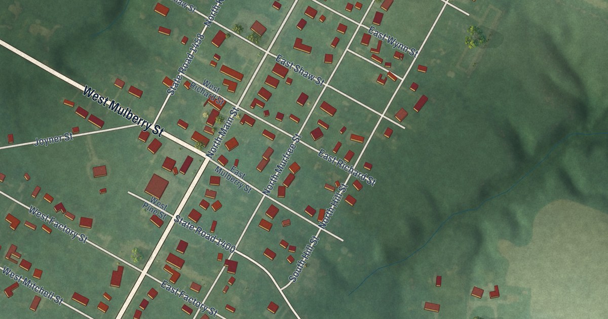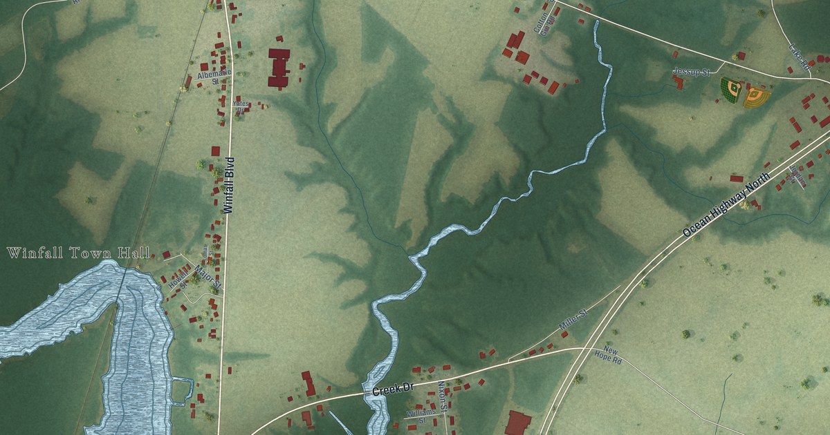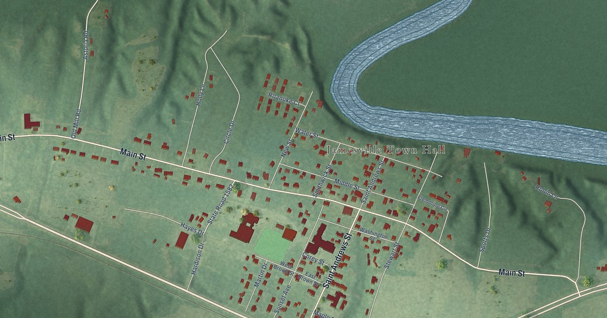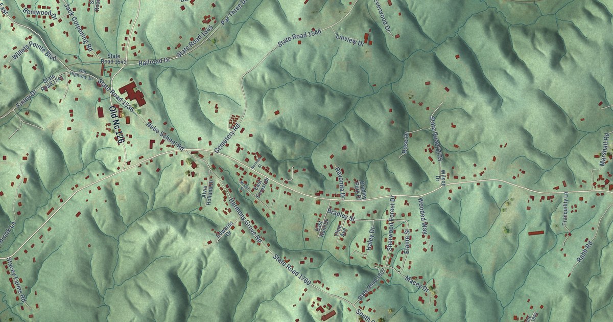
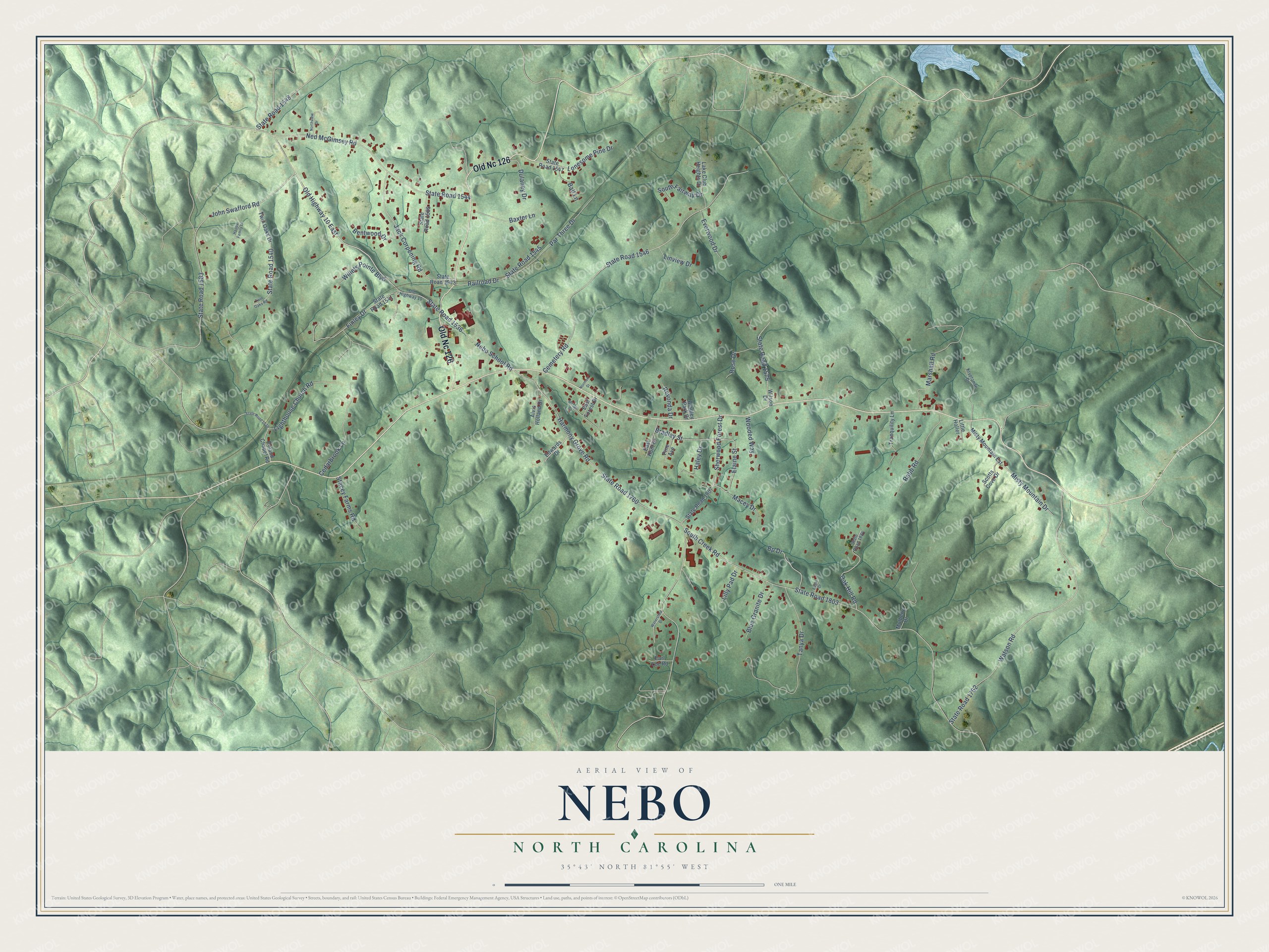
This beautifully detailed map of Nebo, North Carolina was created in 2026 using aerial imagery combined with modern topographical, census, street and landmark data. It's a modern aerial view of Nebo in McDowell County, North Carolina, that combines modern data with a vintage aesthetic. The roads feature printed names, and if you look closely you can find your exact house accurately shown in its correct location.
Explore an aerial view of Nebo, North Carolina
On this map you'll find Old Nc 126, Old Highway 10 East, Harmony Grove Road, State Road 1760, South Creek Road, State Road 1803, State Road 1536, Nebo School Road, Cemetery Road, State Road 1546, State Road 1762, Watson Road, and more. Each red shape is a building, so zoom in on the preview and look for yours.
Nebo is a community in McDowell County. The Census Bureau counted 1,790 people here in 2020. Nebo sits about 6 miles northeast of Marion, 7 miles northeast of West Marion and 7 miles west of Glen Alpine. The map prints the town name in its title panel, with the coordinates below it.
Take a closer look at the Nebo map
Names on this map
These names are printed on this map.
Streets and roads: Old Nc 126, Old Highway 10 East, Harmony Grove Road, State Road 1760, South Creek Road, State Road 1803, State Road 1536, Nebo School Road, Cemetery Road, State Road 1546, State Road 1762, Watson Road.
More street names, A to Z
Alvis Holland Drive, Ball Lane, Baxter Lane, Bentwood Drive, Blue Granite Drive, Bp Drive, Bradley Park Drive, Bradley Street, Cedarbrook Lane, Dulaney Drive, Eagle Drive, Earl Lee Road, East Forest Drive, East Hunt Drive, Edwards Drive, Elaine Street, Everwood Drive, Finley Drive, Haley Drive, Happy Family Lane, Jack Corpening Road, John Swafford Road, Kryptonite Drive, Lake Club Heights Drive, Lighthouse Church Road, Lilly Pad Drive, Linview Drive, Little Holler, Lonesome Pine Drive, Macey Drive, Marshall Road, McCall Street, Misty Mountain Drive, Misty Mountain Est, Mulberry Drive, Ned McGimsey Road, Norman Street, Northview Drive, Oak Hill Road, Old Highway 10, Par Three Drive, Pine Avenue, Rabb Road, Railroad Drive, Revonda Drive, Roland Chapel Road, Rose Drive, Scotts Cove Drive, Sherwood Forest Drive, South Fairway Drive, Stacey Farms Road, State Road 1539, State Road 1540, State Road 1541, State Road 1543, State Road 1544, State Road 1545, State Road 1547, State Road 1548, State Road 1575, State Road 1583, State Road 1585, State Road 1807, State Road 1824, Tanya Drive, Tranquility Lane, Twin Oaks Drive, Twin Oaks Road, Watershed Drive, Willets Pointe Boulevard, Wilson Drive, Wooded Way.
See it on a wall
The Nebo map as a framed print. Swipe for more.


Created by KNOWOL in 2026. The buildings are small red shapes, the roads carry their printed names, and shaded relief shows the shape of the land. The title panel reads "AERIAL VIEW OF NEBO, NORTH CAROLINA" with 35°43' NORTH 81°55' WEST.
It suits a den, a classroom or a front hall, and it makes a gift for anyone with Nebo roots. Open the preview and find the block you know. See sizes and frames for the Nebo map.