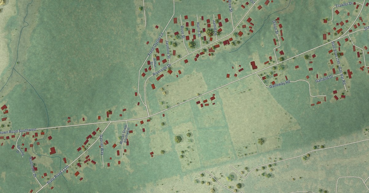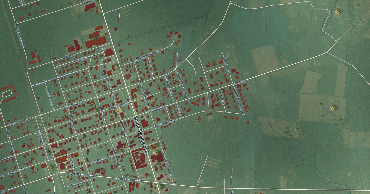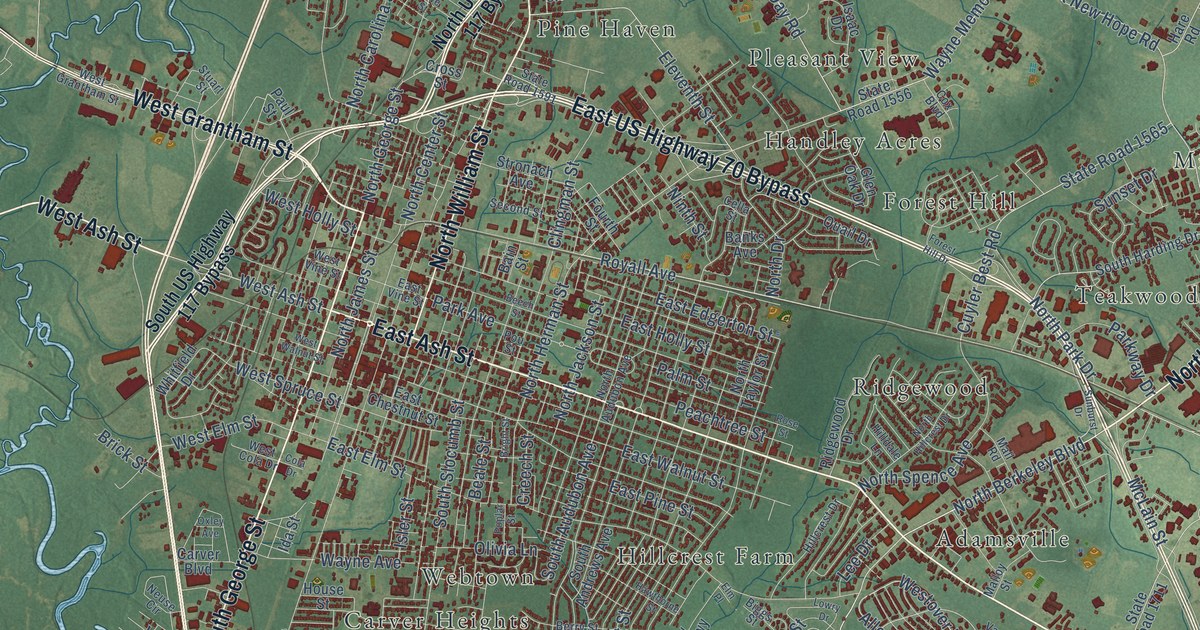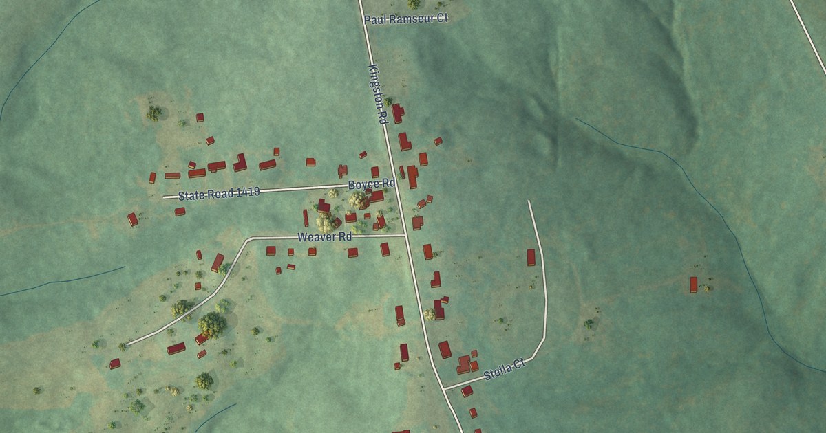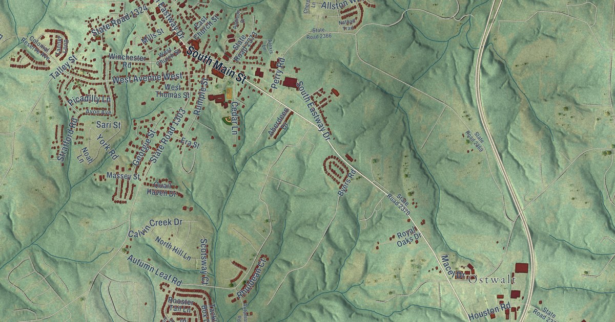
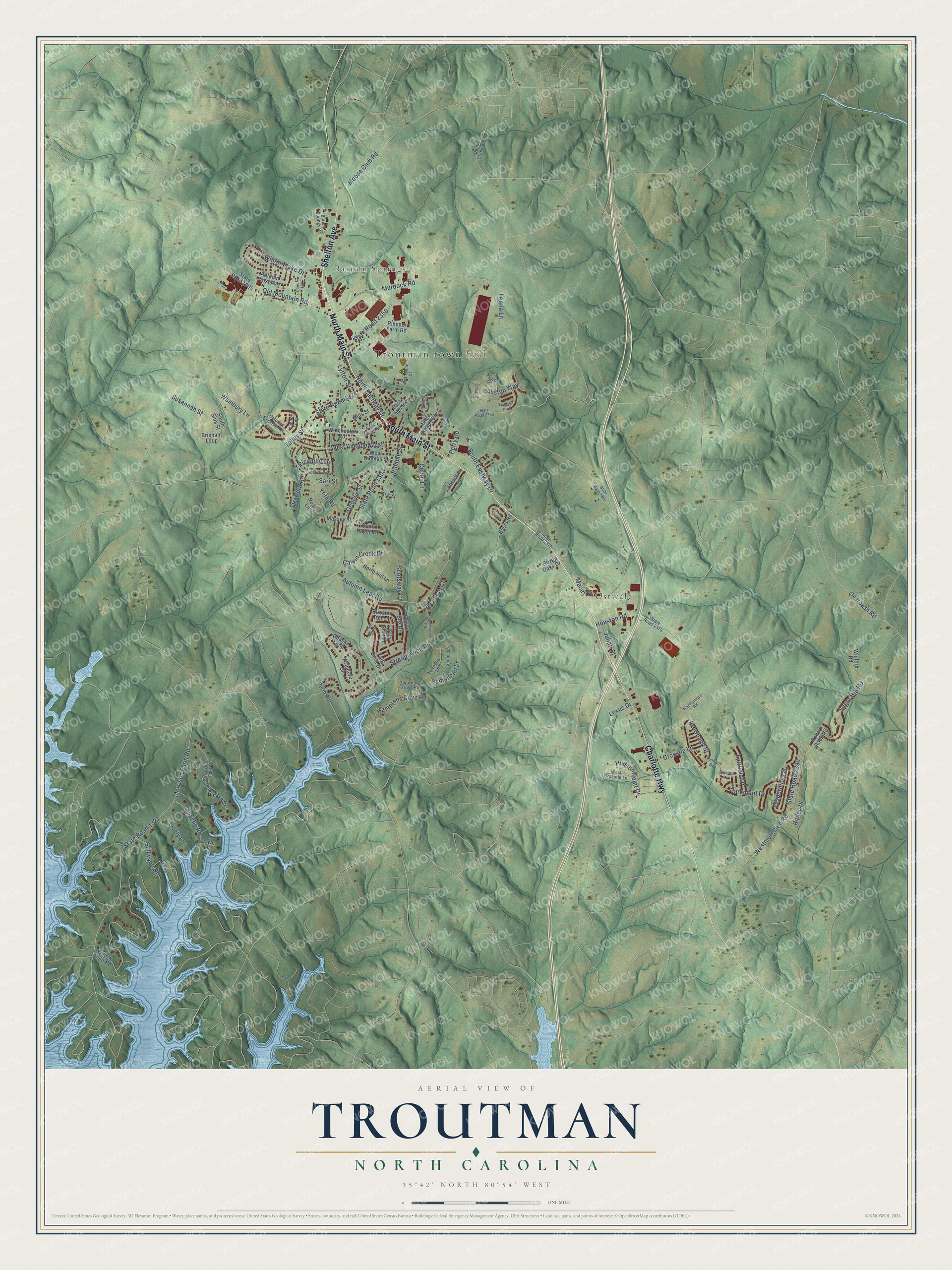
This beautifully detailed map of Troutman, North Carolina was created in 2026 using aerial imagery combined with modern topographical, census, street and landmark data. It's a modern aerial view of Troutman in Iredell County, North Carolina, that combines modern data with a vintage aesthetic. The roads feature printed names, and if you look closely you can find your exact house accurately shown in its correct location.
Explore an aerial view of Troutman, North Carolina
On this map you'll find Troutman town hall, Ostwalt, Barium Springs, South Main Street, North Main Street, Charlotte Highway, Shelton Avenue, State Road 1324, West Avenue West, Morrison Farm Road, State Road 1321, State Road 2350, and more. Each red shape is a building, so zoom in on the preview and look for yours.
Here is a piece of Troutman history, in the words of the record. The North Carolina Gazetteer puts it this way: "Troutman town in S Iredell County. Settled about 1859 and inc. 1905. Named for Mrs. Annie Troutman and her sons, Sydney and Jacob, who settled there and operated a wagon shop."
Troutman is a town in Iredell County. The Census Bureau counted 3,698 people here in 2020.
Take a closer look at the Troutman map
Names on this map
These names are printed on this map.
Places: Troutman town hall, Ostwalt and Barium Springs.
Streets and roads: South Main Street, North Main Street, Charlotte Highway, Shelton Avenue, State Road 1324, West Avenue West, Morrison Farm Road, State Road 1321, State Road 2350, State Road 1303, Streamwood Road, South Eastway Drive.
More street names, A to Z
Aberdeen Drive, Addison Place, Alexis Lane, Allston Way, Apache Road, Ashmore Circle, Asmodean Lane, Autumn Frost Avenue, Autumn Leaf Road, Autumnwood Road, Aviendha Lane, Avon Avenue, Barium Lane, Barium Springs Drive, Brixham Loop, Browband Street, Byers Road, Calvin Creek Drive, Cedar Lane, Chaska Loop, Cherella Lane, Colonial Reserve Avenue, Crosstie Lane, Dawn Lane, Dogwood Grove Place, Duck Creek Road, East Church Street, Era Street, Fairfield Drive, Falls Cove Drive, Fesperman Circle, Forbes Lane, Georgie Street, Hackamore Road, Hamptons Cove Road, Houston Road, Hudson Point Drive, Julian Place, Leona Lane, Lexus Drive, Lively Lane, Lytton Street, Macel Drive, Massey Street, Mills Street, Moose Club Road, Murdock Road, Nathall Trail, Noah Lane, North Eastway Drive, North Hill Lane, Old Mountain Road, Overcash Road, Parkmont Drive, Patterson Street, Pelham Road, Perry Road, Perth Road, Picadilly Lane, Port Bow Drive, Quail Haven Drive, Rhuidean Court, Rimmer Farm Road, Ripley Place, Rooster Tail Lane, Round Rock Road, Royal Oaks Drive, Rumple Street, Saidin Lane, Sari Street, Scarlet Drive, Scotsway Court, Silver Falls Drive, Slip Shot Lane, South Sina Street, State Road 1005, State Road 2366, State Road 2369, State Road 2370, State Road 2373, State Road 2375, State Road 2390, Stillwater Road, Stratford Road, Sugar Hill Road, Susannah Street, Tackle Box Drive, Talley Street, Tanner Loop, Timber Lake Drive, Wembury Lane, West Church Street, West Crosstie Lane, Westmoreland Road, West Thomas Street, Willow Point Road, Winchester Road, Winford Road, Winter Flake Drive, York Road.
Created by KNOWOL in 2026. The buildings are small red shapes, the roads carry their printed names, and shaded relief shows the shape of the land. The title panel reads "AERIAL VIEW OF TROUTMAN NORTH CAROLINA" with 35°42' NORTH 80°54' WEST.
It suits a den, a classroom or a front hall, and it makes a gift for anyone with Troutman roots. Open the preview and find the block you know. See sizes and frames for the Troutman map.