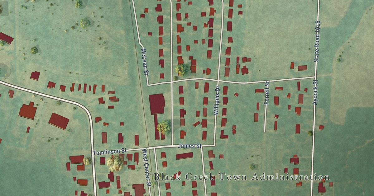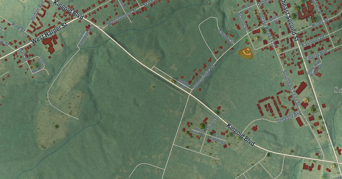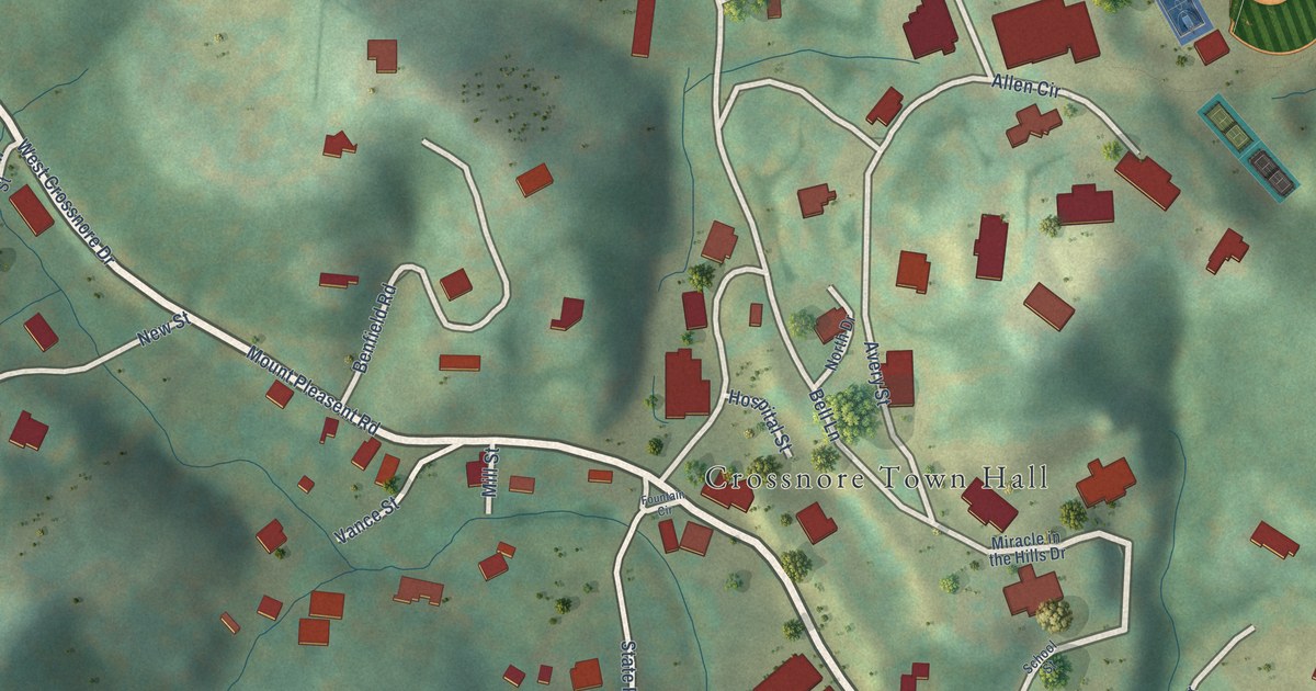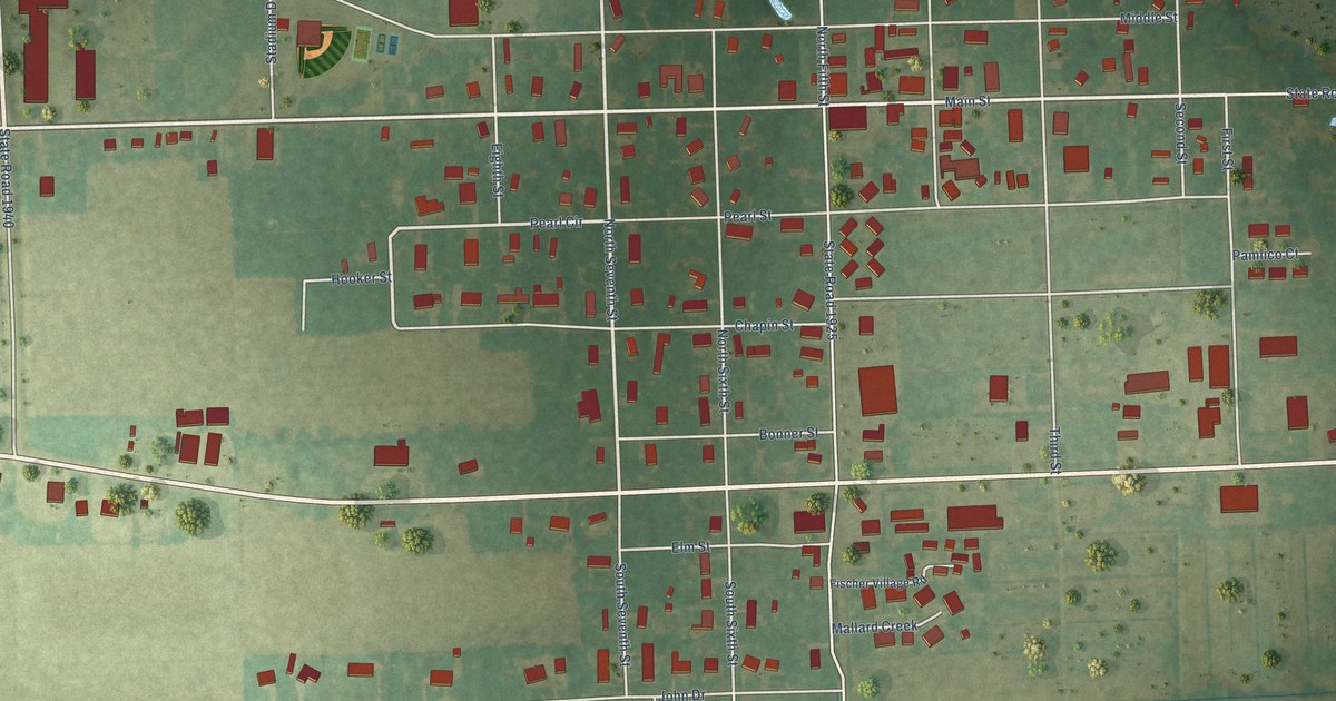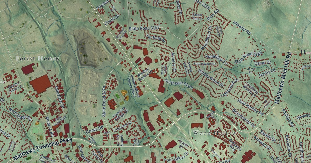
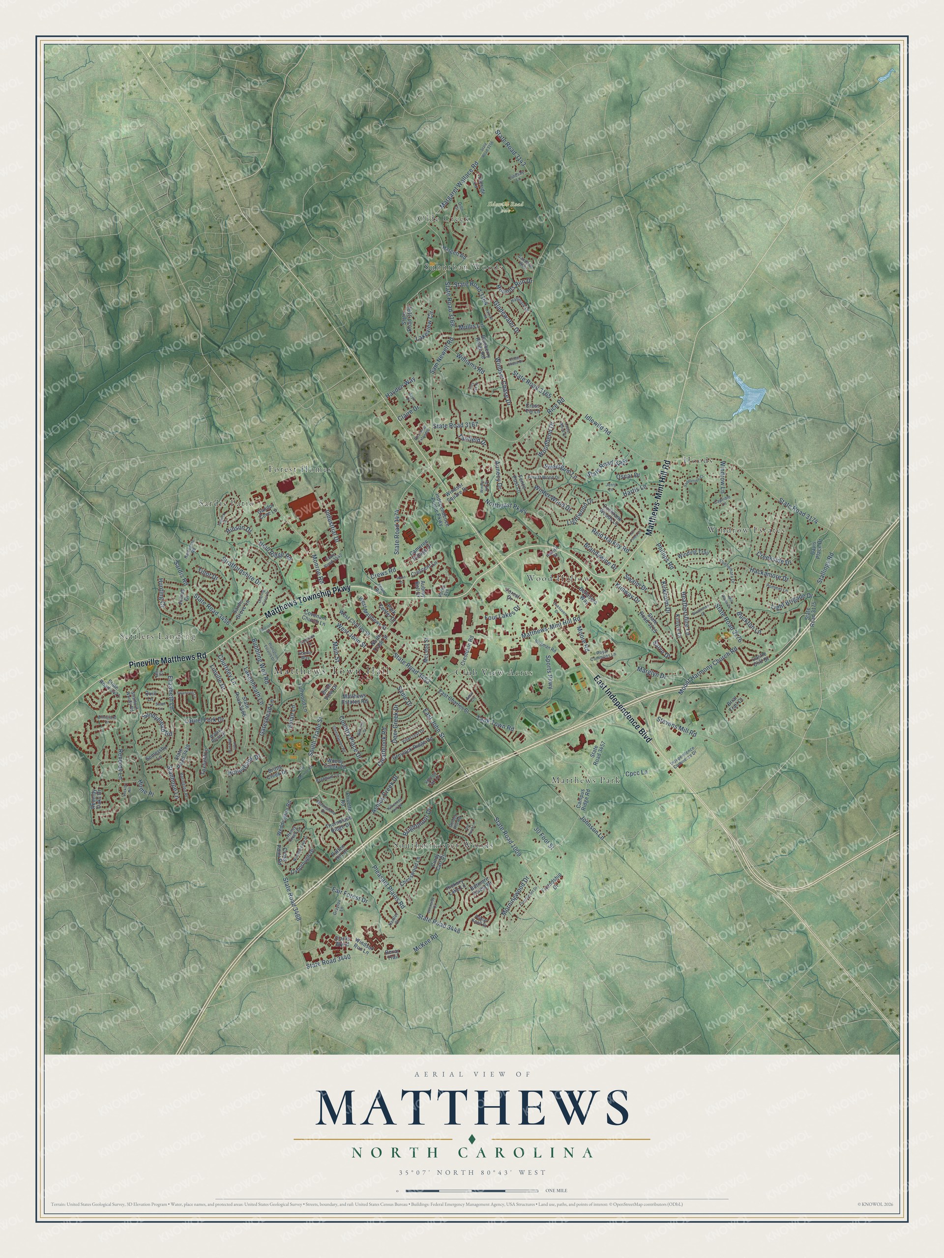
This beautifully detailed map of Matthews, North Carolina was created in 2026 using aerial imagery combined with modern topographical, census, street and landmark data. It's a modern aerial view of Matthews in Mecklenburg County, North Carolina, that combines modern data with a vintage aesthetic. The roads feature printed names, and if you look closely you can find your exact house accurately shown in its correct location.
Explore an aerial view of Matthews, North Carolina
On this map you'll find Matthews Town Hall, Ildewild Road Park, Club View Acres, Forest Homes, Hoods, Matthews Park, Olde Creek, Sardis Patio, Settlers Landing, Southminister Woods, Suburban Woods, Windrow Estates, and more. Each red shape is a building, so zoom in on the preview and look for yours.
Matthews has a story worth telling. The National Register of Historic Places puts it this way: "However, the arrival of William Outen and subsequent establishment of Matthews Pottery gave the town its first manufacturing business."
Matthews is a town in Mecklenburg County. The Census Bureau counted 29,435 people here in 2020.
Take a closer look at the Matthews map
Names on this map
These names are printed on this map.
Places: Matthews Town Hall, Ildewild Road Park, Club View Acres, Forest Homes, Hoods, Matthews Park, Olde Creek, Sardis Patio, Settlers Landing, Southminister Woods, Suburban Woods, Windrow Estates and Wood Hollow.
Streets and roads: Matthews Township Parkway, East Independence Boulevard, Pineville Matthews Road, Matthews-Mint Hill Road, State Road 1009, State Road 3448, East John Street, Pleasant Plains Road, State Road 3474, South Trade Street, West John Street, Idlewild Road.
More street names, A to Z
30 Foot Street, Amir Circle, Annecy Drive, Ashley Creek Drive, Aubrey Bell Drive, Barington Place, Bellasera Way, Bexar Trail, Biltmore Forest Drive, Birch View Drive, Blueberry Ridge Road, Boyd Drive, Brandywine Drive, Brenham Lane, Briar Trail Court, Brightmoor Drive, Brigman Road, Brittle Creek Drive, Bubbling Well Road, Buckton Lane, Cameron Village Drive, Campus Ridge Road, Candalon Way, Capriole Lane, Castle Cliff Drive, Cedar Chase Drive, Charing Cross Drive, Chesswood Lane, Cindy Carr Drive, Claire Drive, Clarks Wynd, Clearbrook Road, Cochrane Woods Lane, Connemara Drive, Country Place Drive, Courtney Lane, Covenant Church Lane, Cpcc Lane, Creekside Drive, Crescent Lane, Crestdale Road, Crews Road, Cross Point Road, Cross Tie Lane, Davis Place Drive, Deer Creek Drive, Dion Drive, East Charles Street, Eberle Way, Elizabeth Lane, Elmsford Lane, Evian Lane, Fair Forest Drive, Fence Post Lane, Forest Drive, Forestmont Drive, Forest Wood Drive, Four Lakes Drive, Foxfield Lane, Friendship Drive, Fullwood Lane, Gandor Cove Lane, Gateshead Lane, Gladewater Drive, Glenshannon Road, Golden Hill Road, Grayfox Lane, Greylock Ridge Road, Hackamore Drive, Hallmark Drive, Hamlet Court, Hargett Road, Harrogate Road, Hartis Lane, Hayden Way, Heathershire Lane, Hickory Hill, Hickory Lake Lane, Hinson Drive, Holleybank Drive, Home Place, Honey Creek Lane, Hounds Run Drive, Hunting Court, Independence Commerce Drive, Independence Pointe Parkway, Industrial Drive, Jerry Lane, Johnson Lane, Joines Drive, Keziah Road, Kilkenney Hill Road, Kimway Drive, Kintyre Court, Kirkholm Drive, Lakenheath Lane, Lakeview Circle, Laurel Fork Drive, Laurel Wood Drive, Light Brigade Drive, Lightwood Drive, Lindsay Lane, Linville Drive, Main Street, Mann Drive, Margaret Wallace Road, Marglyn Drive, Marion Drive, Matthews Estates Road, McKee Road, McLeod Street, Mill House Drive, Monroe Road, Moonstone Drive, Moore Road, Morningwood Drive, Mount Harmony Church Road, Mullis Lane, Neill Ridge Road, Northeast Parkway, North Trade Street, Oakhaven Drive, Old Monroe Road, Old Pond Lane, Oscar Drive, Oxborough Drive, Paces Avenue, Park Center Drive, Parrish Street, Patten Hill Drive, Phillips Road, Plantation Estates Drive, Pommel Lane, Poplar Knoll Drive, Port Royal Drive, Privette Road, Quill Lane, Reid Harkey Road, Reverdy Lane, Reverdy Oaks Drive, Rice Road, Rice Road Extended, Royal Commons Lane, Sabot Lane, Saddletree Court, Sadie Drive, Salvo Drive, Sam Newell Road, Sandymead Road, Sardis Grove Lane, Sardis Road, Somersby Lane, Sports Parkway, Stallings Road, Stanhope Lane, State Road 3143, State Road 3156, State Road 3164, State Road 3165, State Road 3167, State Road 3168, State Road 3174, State Road 3175, State Road 3176, State Road 3190, State Road 3215, State Road 3249, State Road 3438, State Road 3440, State Road 3453, State Road 3456, State Road 3457, State Road 3466, State Road 3468, State Road 3471, State Road 3542, Stevens Mill Road, Stratfordshire Drive, Stratford Woods Road, Strathaven Drive, Swaim Drive, Swancroft Lane, Sweetgum Lane, Tadlock Place, Tall Pines Lane, Tanfield Drive, Tank Town Road, Team Road, Thornblade Ridge Drive, Tillot Drive, Tory Oak Place, Treeside Lane, Treverton Drive, Umi Court, Vinecrest Drive, Vinings Oak Lane, Walnut Point Drive, Weddington Road, West Charles Street, West Matthews Street, Wickerby Court, Wilcrest Drive, Williams Road, Winding Trail, Windrow Lane, Windsor Chase Drive, Windsor Hill Drive, Windsor Run Lane, Windsor Square Drive, Winterbrooke Drive, Winter Wood Drive, Woodbend Drive, Woody Creek Road.
Created by KNOWOL in 2026. The buildings are small red shapes, the roads carry their printed names, and shaded relief shows the shape of the land. The title panel reads "AERIAL VIEW OF MATTHEWS NORTH CAROLINA" with 35°07' NORTH 80°43' WEST.
It looks right in a kitchen, an office or a den, and it's a gift for anyone who grew up in Matthews or moved away. Open the preview and find your street. See sizes and frames for the Matthews map.