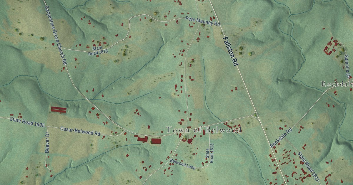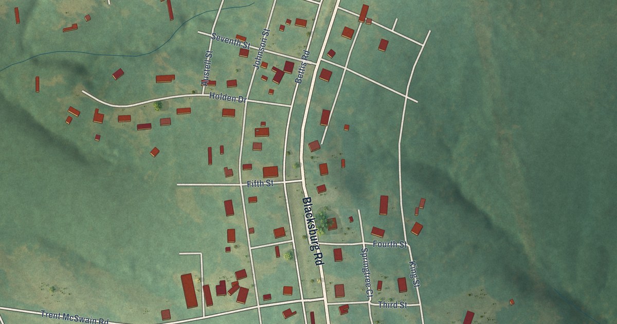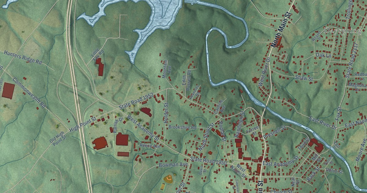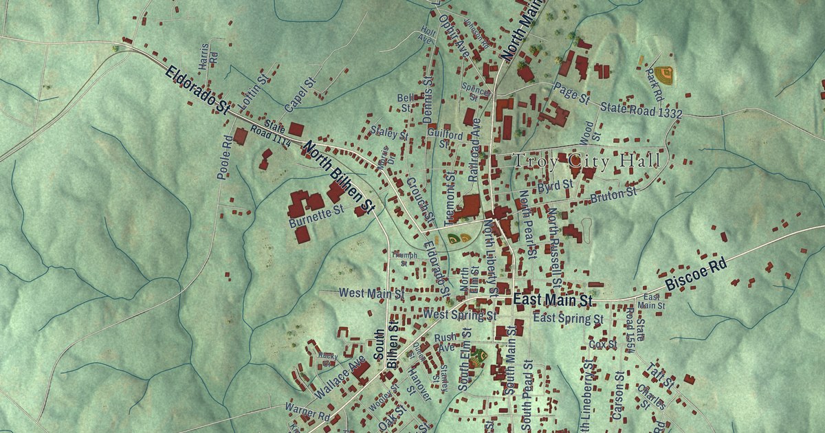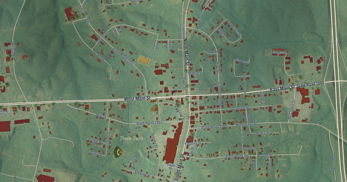
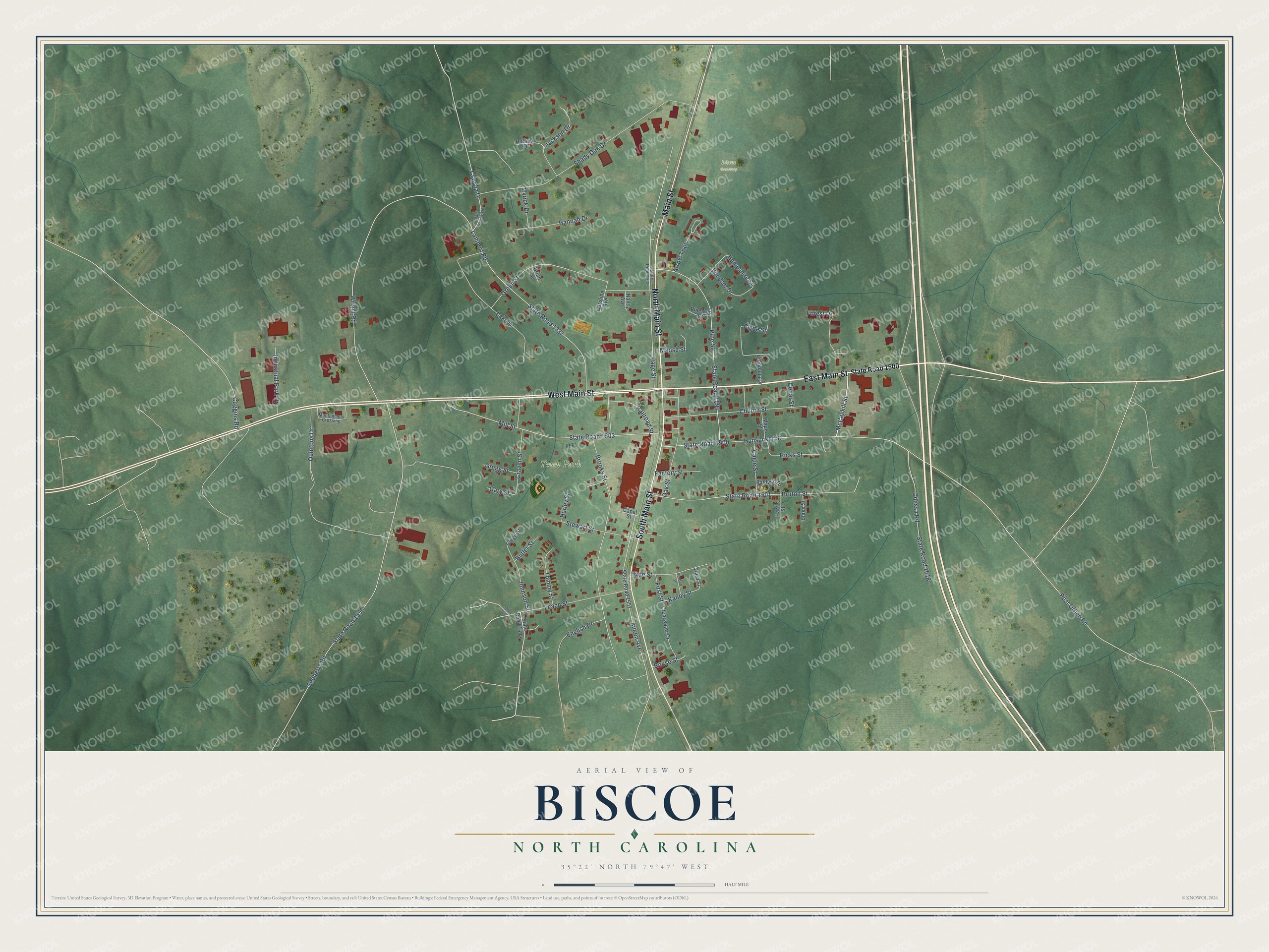
This beautifully detailed map of Biscoe, North Carolina was created in 2026 using aerial imagery combined with modern topographical, census, street and landmark data. It's a modern aerial view of Biscoe in Montgomery County, North Carolina, that combines modern data with a vintage aesthetic. The roads feature printed names, and if you look closely you can find your exact house accurately shown in its correct location.
Explore an aerial view of Biscoe, North Carolina
On this map you'll find Town Park, Biscoe Cemetery, West Main Street, East Main Street, North Main Street, South Main Street, Main Street, McCaskill Street, Hampshire Street, Kanoy Street, State Road 1500, State Road 1337, and more. Each red shape is a building, so zoom in on the preview and look for yours.
Biscoe has a story worth telling. The North Carolina Gazetteer puts it this way: "Biscoe town in E Montgomery County. Alt. 609. Inc. 1901. Known as Filo until 1895, when it was renamed for Maj. Henry Biscoe, lumber commission merchant."
Biscoe is a town in Montgomery County. The Census Bureau counted 1,848 people here in 2020.
Take a closer look at the Biscoe map
Names on this map
These names are printed on this map.
Places: Town Park and Biscoe Cemetery.
Streets and roads: West Main Street, East Main Street, North Main Street, South Main Street, Main Street, McCaskill Street, Hampshire Street, Kanoy Street, State Road 1500, State Road 1337, Sedberry Road, State Road 1556.
More street names, A to Z
Aileen Avenue, Arrow Trail, Baldwin Drive, Blake Street, Brendana Drive, Brian Street, Brooks Street, Bruton Street, Butler Street, Cagle Street, Capel Street, Carolina Avenue, Cedar Street, Church Street, Clayola Drive, Clearwater Drive, Clegg Street, Clyde Street, Coggins Road, Craven Street, English Drive, Factory Street, First Street, Forest Drive, Gary Street, Green Street, Gregg Street, Hannah Drive, Harris Street, Hicks Street, Huffman Drive, Hunsucker Street, Hurley Street, Hyde Street, Industrial Park Drive, Jackson Drive, Johnson Street, John Street, Lake Drive, Lambert Road, Leach Street, Manse Street, Maple Street, Mill Street, Montgomery Crossing, Myrick Drive, Nancy Avenue, Oak Street, Odessa Road, Page Street, Pineland Court, Pine Street, Post Office Road, Quintons Drive, Railroad Street, Rouse Street, Second Street, Shady Oak Drive, State Road 1339, State Road 1396, State Road 1404, State Road 1501, State Road 1503, State Road 1557, State Road 1591, State Road 1618, Stewart Street, Third Street, Tommy Street, Windsor Drive, Wright Road.
Created by KNOWOL in 2026. The buildings are small red shapes, the roads carry their printed names, and shaded relief shows the shape of the land. The title panel reads "AERIAL VIEW OF BISCOE NORTH CAROLINA" with 35°22' NORTH 79°47' WEST.
It looks right in a kitchen, an office or a den, and it's a gift for anyone who grew up in Biscoe or moved away. Open the preview and find your street. See sizes and frames for the Biscoe map.