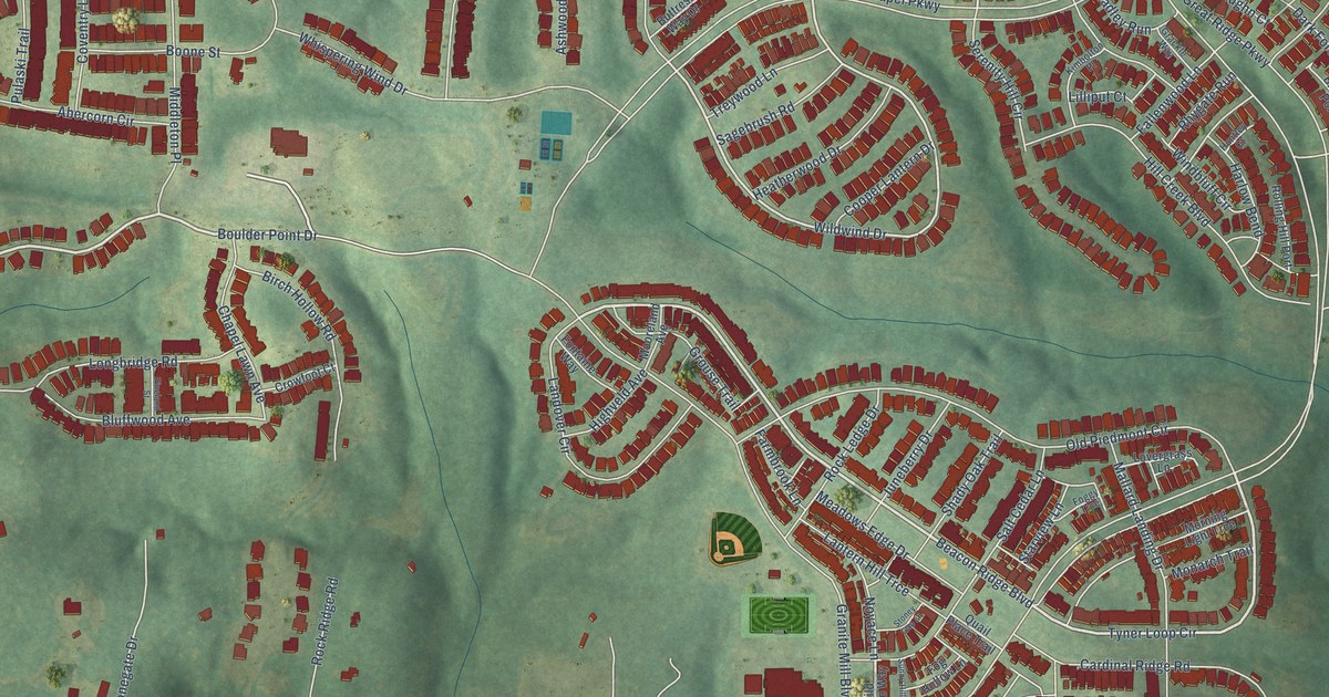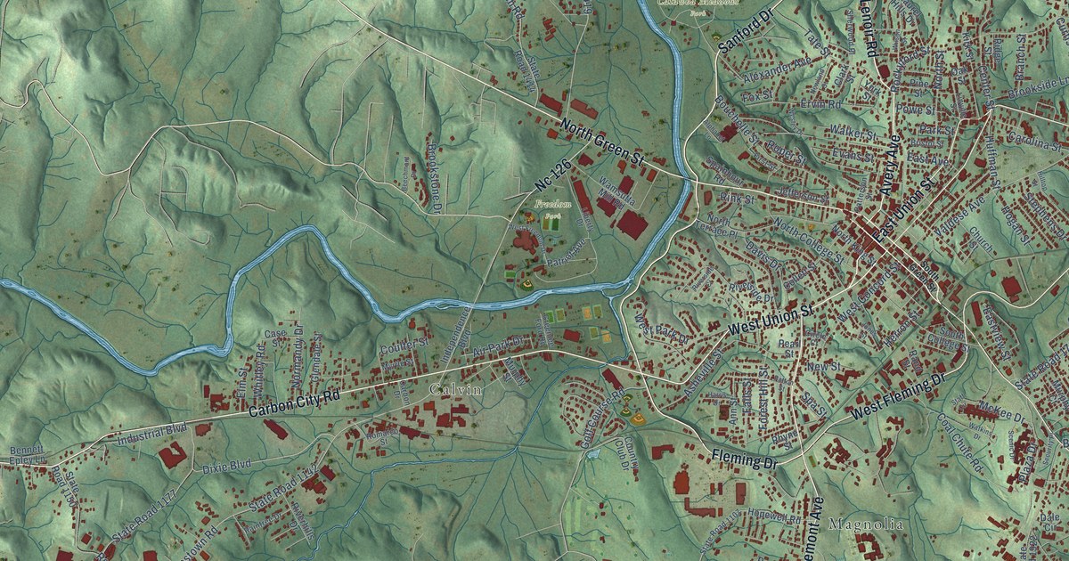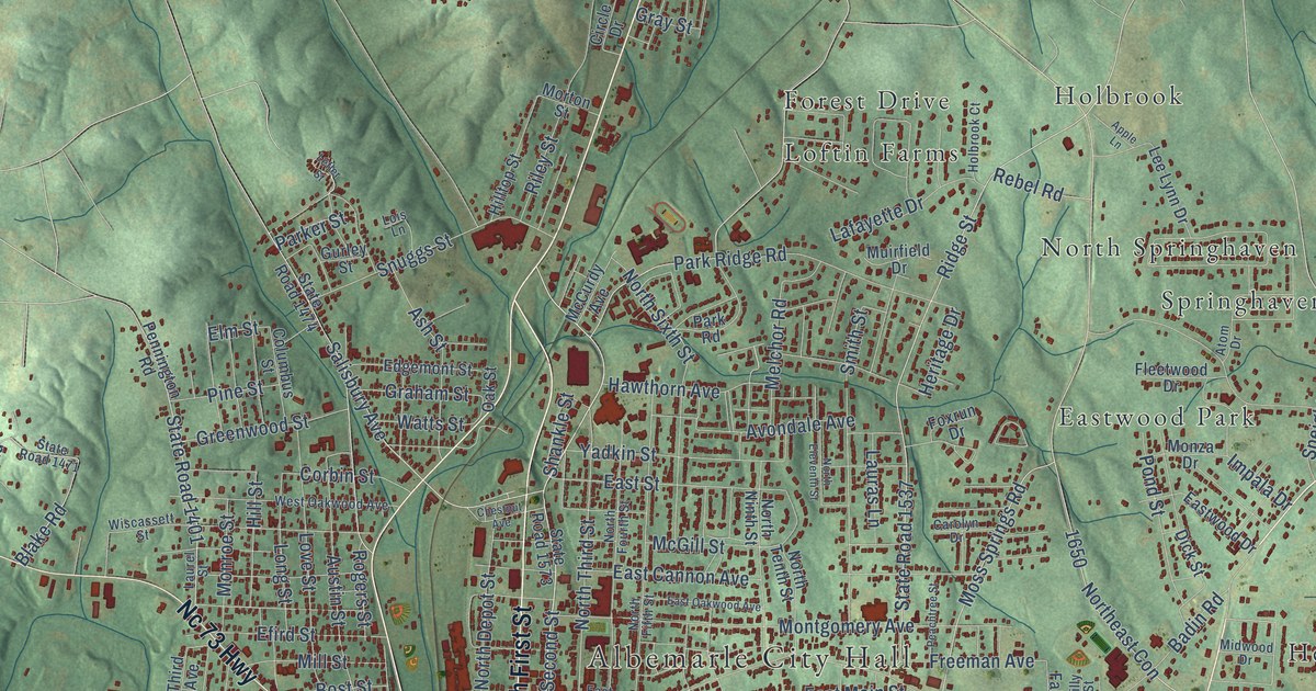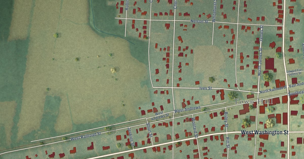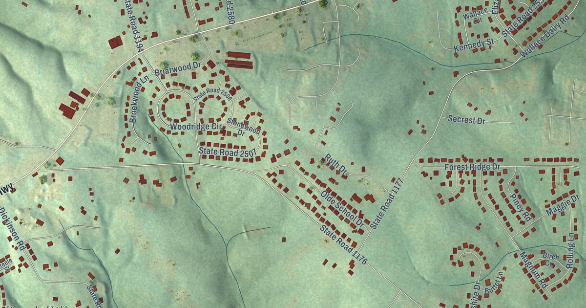
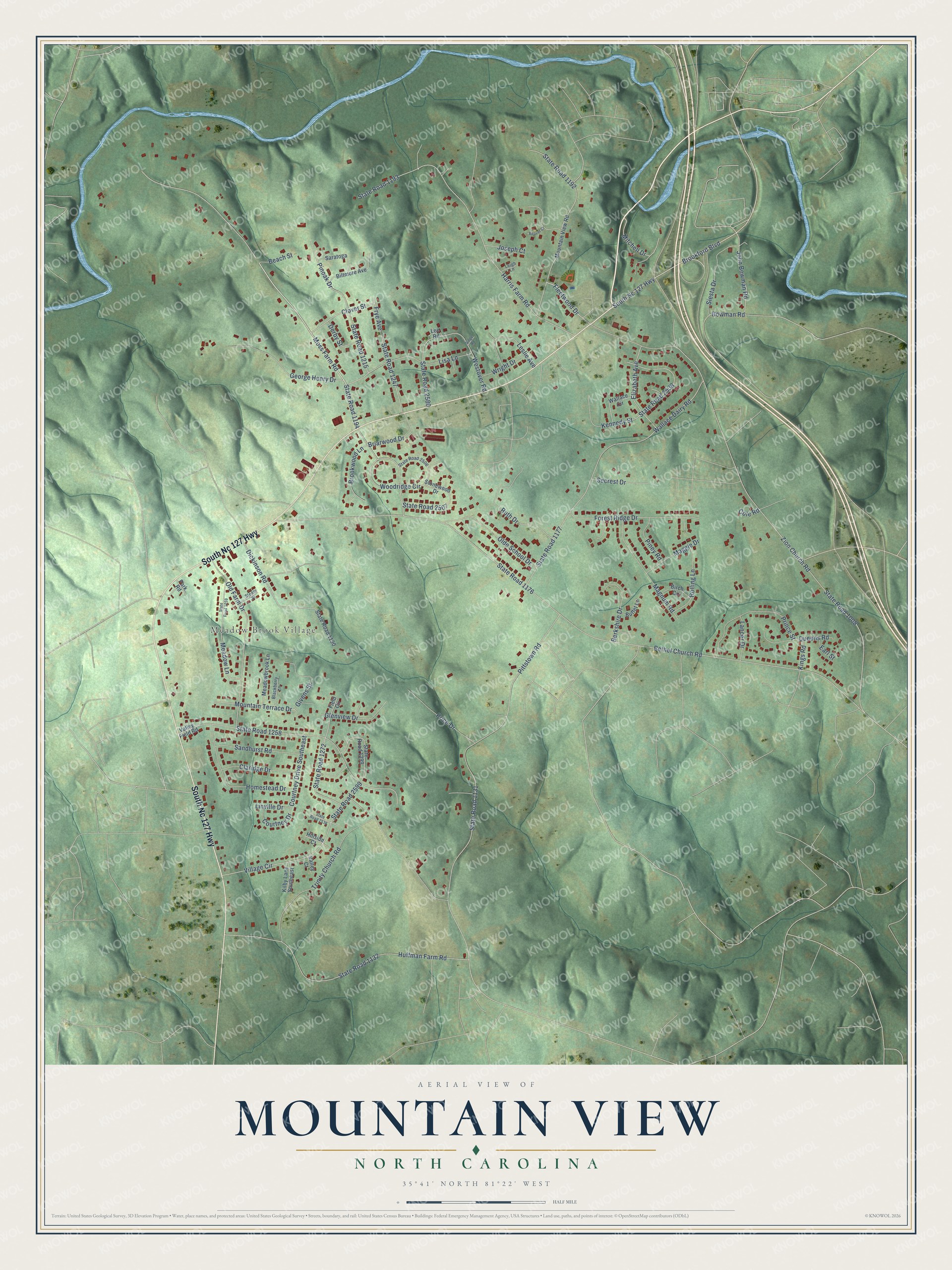
This beautifully detailed map of Mountain View, North Carolina was created in 2026 using aerial imagery combined with modern topographical, census, street and landmark data. It's a modern aerial view of Mountain View in Catawba County, North Carolina, that combines modern data with a vintage aesthetic. The roads feature printed names, and if you look closely you can find your exact house accurately shown in its correct location.
Explore an aerial view of Mountain View, North Carolina
On this map you'll find Meadow Brook Village, South Nc 127 Highway, Moss Farm Road, State Road 1194, Brookford Boulevard, Fleetwood Drive, Bethel Church Road, State Road 1176, Zion Church Road, State Road 1008, State Road 1258, Pittstown Road, and more. Each red shape is a building, so zoom in on the preview and look for yours.
Mountain View is a community in Catawba County. The Census Bureau counted 3,590 people here in 2020. Mountain View sits about 2 miles southwest of Brookford, 3 miles south of Long View and 4 miles southeast of Hildebran. The map prints the town name in its title panel, with the coordinates below it.
Take a closer look at the Mountain View map
Names on this map
These names are printed on this map.
Places: Meadow Brook Village.
Streets and roads: South Nc 127 Highway, Moss Farm Road, State Road 1194, Brookford Boulevard, Fleetwood Drive, Bethel Church Road, State Road 1176, Zion Church Road, State Road 1008, State Road 1258, Pittstown Road, State Road 1131.
More street names, A to Z
Beach Street, Beaver Court, Berkshire Drive, Biltmore Avenue, Birch Circle, Blackberry Lane, Bowman Road, Briarwood Drive, Brookwood Lane, Buffet Lane, Claridge Drive, Clover Street, Cole Road, Courtney Drive, Courtney Drive Southeast, Derby Street, Dickinson Road, Earl Street, Elizabeth Avenue, Field Circle, Forest Ridge Drive, Frye Avenue, George Henry Drive, Givens Street, Glenview Drive, Harris Farm Road, Hillside Court, Homestead Drive, Huffman Farm Road, John Bowman Road, Joseph Court, Kennedy Street, Kilby Lane Southeast, Kings Road, Lancer Drive, Lee Road, Leigh Lane, Leslie Avenue, Linville Drive, Lisa Lane, Maggie Drive, Magnum Road, Meadowbrook Lane, Meadow Lane, Mitchell Drive, Mountain Terrace Drive, Mountain View Road, Olde School Drive, Old Farm Drive, Park Road, Piney Road, Pinoak Drive, Price Drive, Prince Street, Queens Road, Rolling Lane, Ruth Drive, Sandhurst Road, Saratoga, Secrest Drive, Siesta Drive, Singe Road, State Road 1130, State Road 1132, State Road 1177, State Road 1192, State Road 1193, State Road 1215, State Road 1247, State Road 1259, State Road 1272, State Road 1299, State Road 2506, State Road 2507, State Road 2536, State Road 2538, State Road 2580, State Road 2599, Steele Street, Stonewood Drive, Trinity Church Road, Valley Court, Valley Field Road, Village Circle, Wallace Circle, Wallace Dairy Road, Westover Road, Woodridge Circle, Wright Drive.
See it on a wall
The Mountain View map as a framed print. Swipe for more.


Created by KNOWOL in 2026. The buildings are small red shapes, the roads carry their printed names, and shaded relief shows the shape of the land. The title panel reads "AERIAL VIEW OF MOUNTAIN VIEW, NORTH CAROLINA" with 35°41' NORTH 81°22' WEST.
It suits a den, a classroom or a front hall, and it makes a gift for anyone with Mountain View roots. Open the preview and find the block you know. See sizes and frames for the Mountain View map.