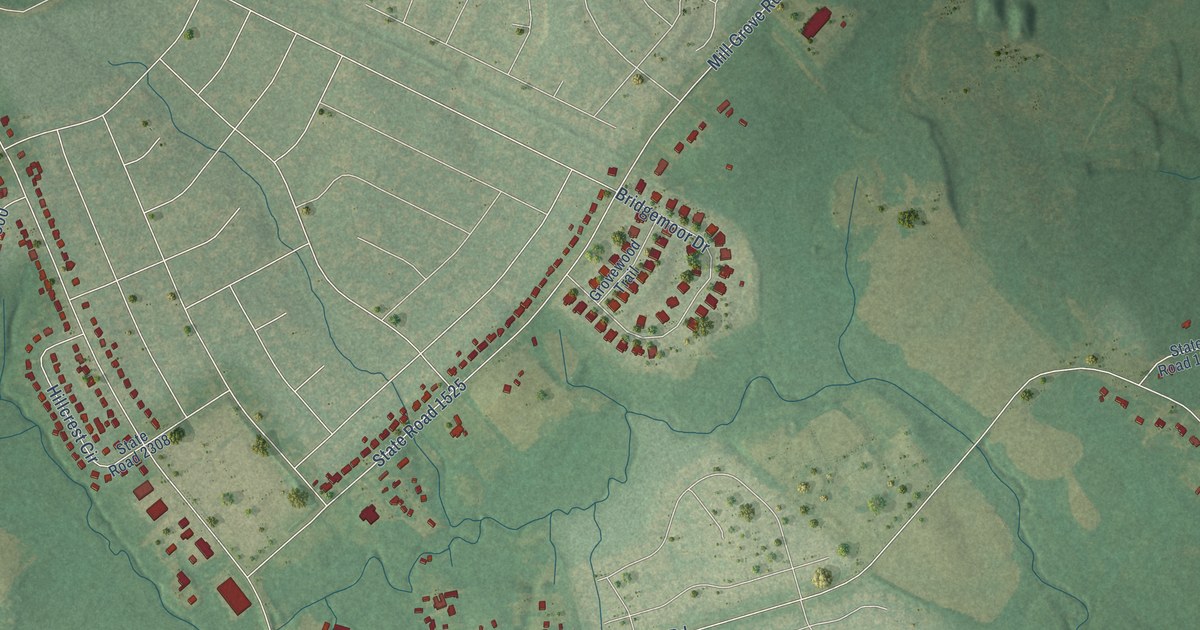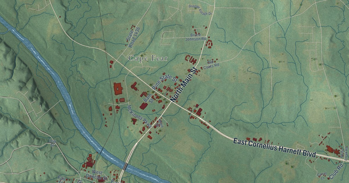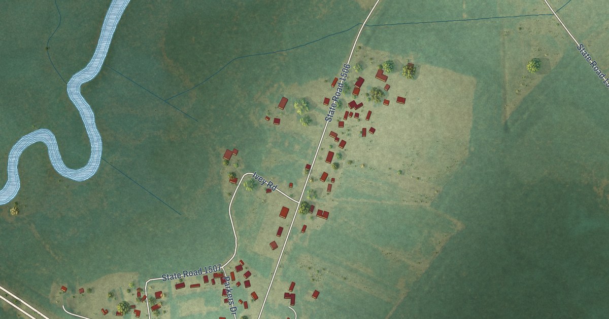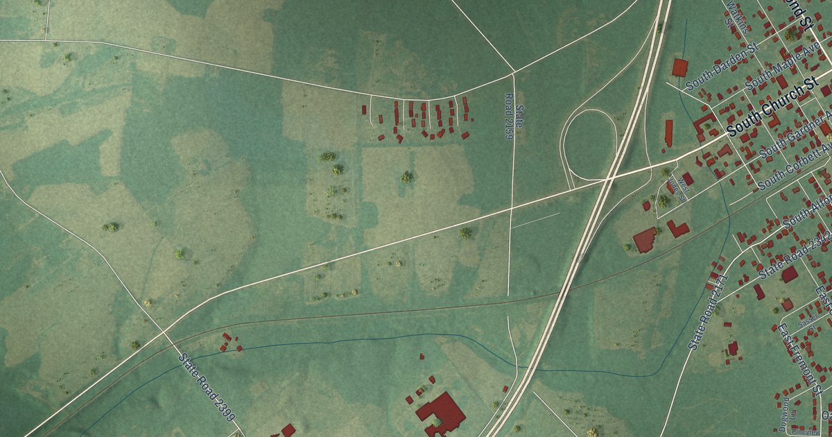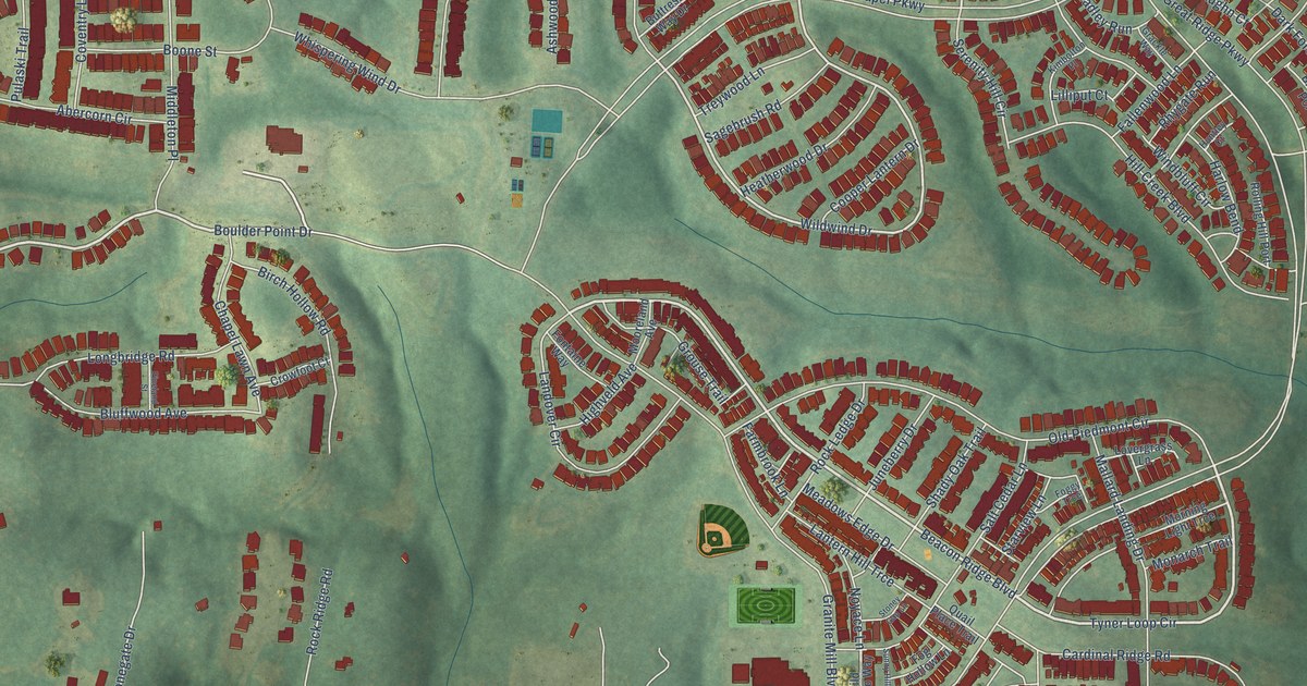
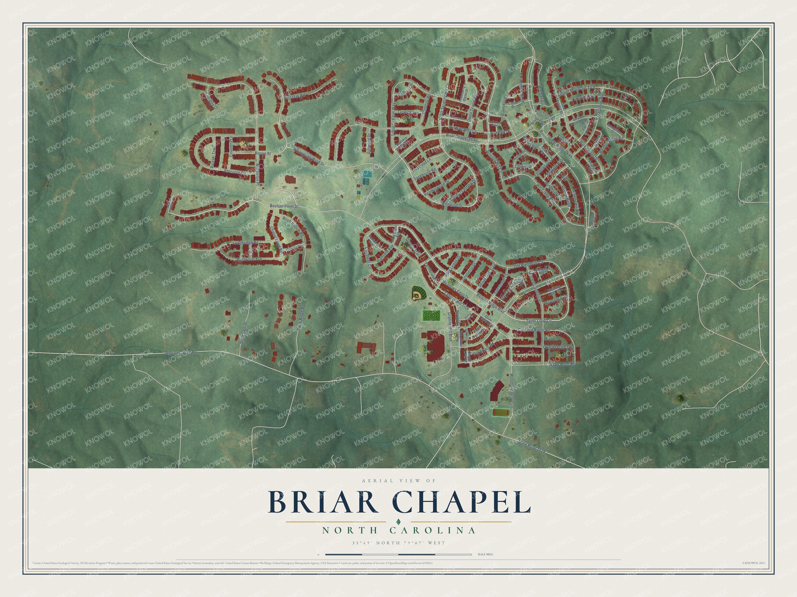
This beautifully detailed map of Briar Chapel, North Carolina was created in 2026 using aerial imagery combined with modern topographical, census, street and landmark data. It's a modern aerial view of Briar Chapel in Chatham County, North Carolina, that combines modern data with a vintage aesthetic. The roads feature printed names, and if you look closely you can find your exact house accurately shown in its correct location.
Explore an aerial view of Briar Chapel, North Carolina
On this map you'll find Beacon Ridge Boulevard, Tyner Loop Circle, Boulder Point Drive, Wildwind Drive, North Serenity Hill Circle, Great Ridge Parkway, Briar Chapel Parkway, Andrews Store Road, State Road 1528, Granite Mill Boulevard, Tobacco Farm Way, Bennet Mountain Trce, and more. Each red shape is a building, so zoom in on the preview and look for yours.
Briar Chapel is a community in Chatham County. The Census Bureau counted 5,108 people here in 2020. The map prints the town name in its title panel, with the coordinates below it.
Take a closer look at the Briar Chapel map
Names on this map
These names are printed on this map.
Streets and roads: Beacon Ridge Boulevard, Tyner Loop Circle, Boulder Point Drive, Wildwind Drive, North Serenity Hill Circle, Great Ridge Parkway, Briar Chapel Parkway, Andrews Store Road, State Road 1528, Granite Mill Boulevard, Tobacco Farm Way, Bennet Mountain Trce.
More street names, A to Z
Abercorn Circle, Arrow Wood Bend, Ashwood Drive, Bennet Ridge Road, Birch Hollow Road, Bluffwood Avenue, Boone Street, Briardale Port, Buttress Way Drive, Cardinal Ridge Road, Chapel Lawn Avenue, Cliffdale Road, Clifridge Court, Cooper Lantern Drive, Coventry Lane, Crawley Court, Crowfoot Court, Dark Forest Drive, Dark Forrest Drive, Endor Drive, Fair Grove Lane, Fallenwood Lane, Farmbrook Lane, Foggy Trce, Fog Hollow Lane, Fontaine Way, Grackle Way, Greenleaf Drive, Grouse Trail, Grovewood Lane, Hadley Run, Harlow Bend, Hawk Point Road, Heatherwood Drive, Highveld Avenue, Hill Creek Boulevard, Hunter Mill Loop, Huntley Court, Juneberry Drive, Kimbolton Place, Landover Circle, Lantern Hill Trce, Lilliput Court, Longbridge Road, Lovergrass Lane, Mallard Landing Drive, Maple Leaf Lane, Meadows Edge Drive, Middleton Place, Monarch Trail, Mooreland Avenue, Morning Light Trce, North Rosebank Drive, Noyace Lane, Old Coach Road, Old Piedmont Circle, Owen Towne Road, Pineland Street, Pokeberry Blend Drive, Post Oak Road, Pulaski Trail, Quail Place Trail, Quarter Gate Trce, Rhygate Run, Rock Ledge Drive, Rock Ridge Road, Rolling Hill Port, Roundabout, Sagebrush Road, Salt Cedar Lane, Saxapahaw Bend, Saxapahaw Run, Serenity Hill Circle, Shady Oak Trail, Starview Lane, Stonegate Drive, Stoney Gap Lane, Summersweet Lane, Sunny Hill Lane, Sunnyside Court, Tarwick Avenue, Trail View Bend, Trailview Lane, Treywood Lane, Turtle Point Bend, Vaughn Court, Warbler Circle, Whispering Wind Drive, Wild Indigo Way, Windbluff Circle, Windy Knoll Circle, Wishing Well Lane, Woodland Grove Lane.
Created by KNOWOL in 2026. The buildings are small red shapes, the roads carry their printed names, and shaded relief shows the shape of the land. The title panel reads "AERIAL VIEW OF BRIAR CHAPEL NORTH CAROLINA" with 35°49' NORTH 79°07' WEST.
Hang it in the hallway, the office or the cabin, or give it to someone who left Briar Chapel and still calls it home. Open the preview and look for a street you know. See sizes and frames for the Briar Chapel map.