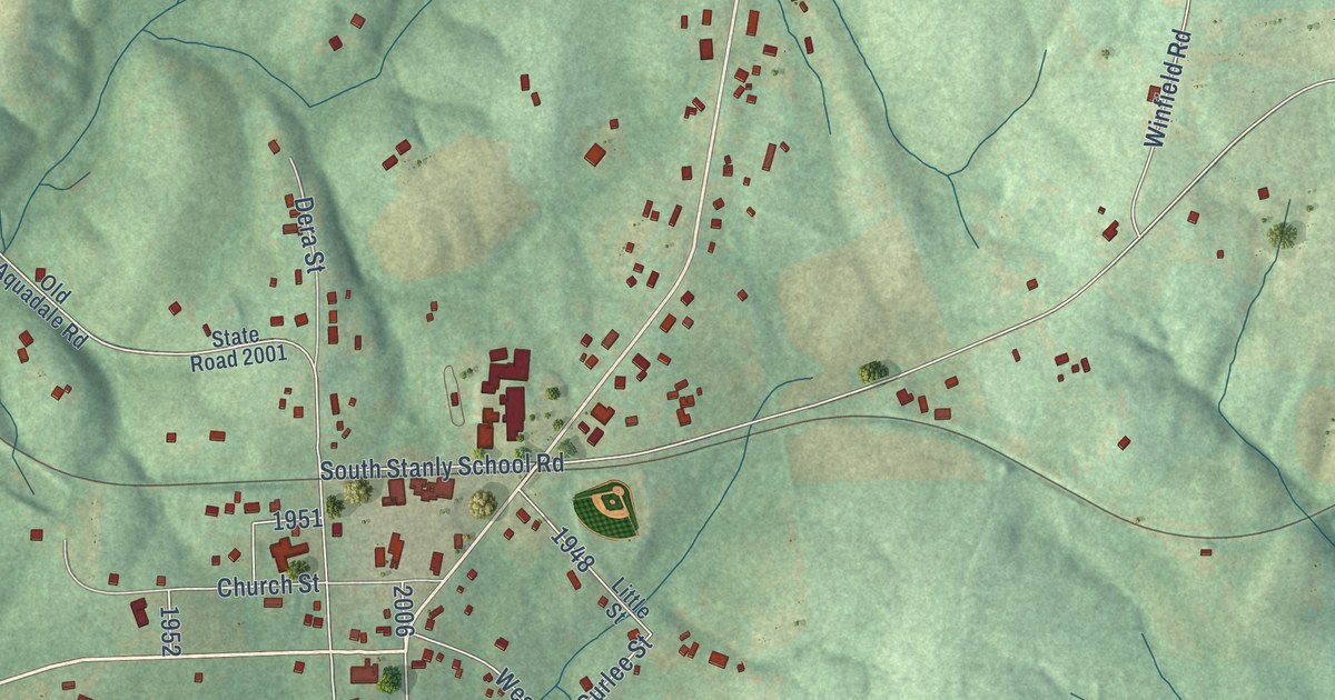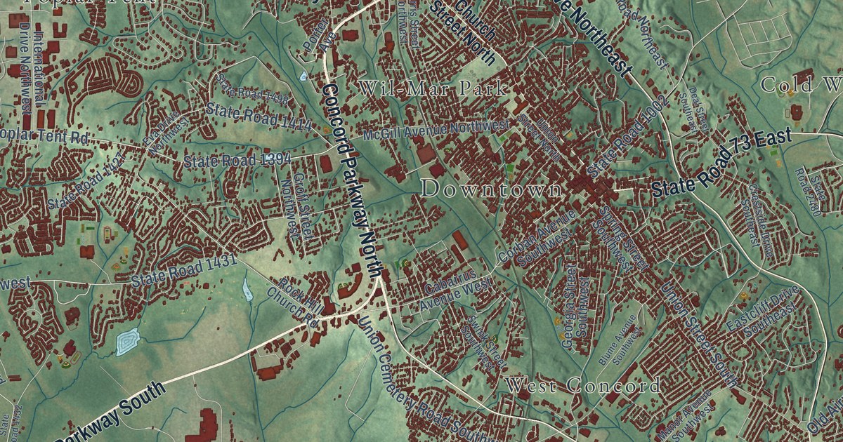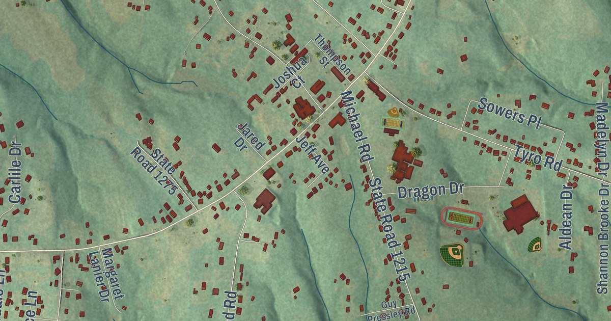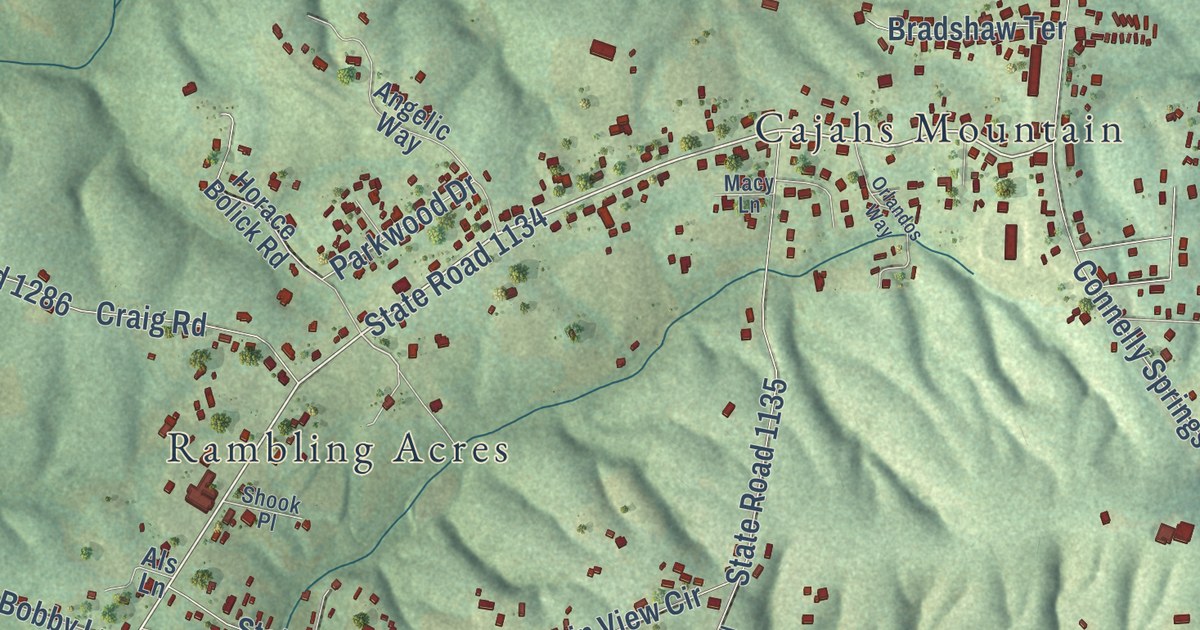
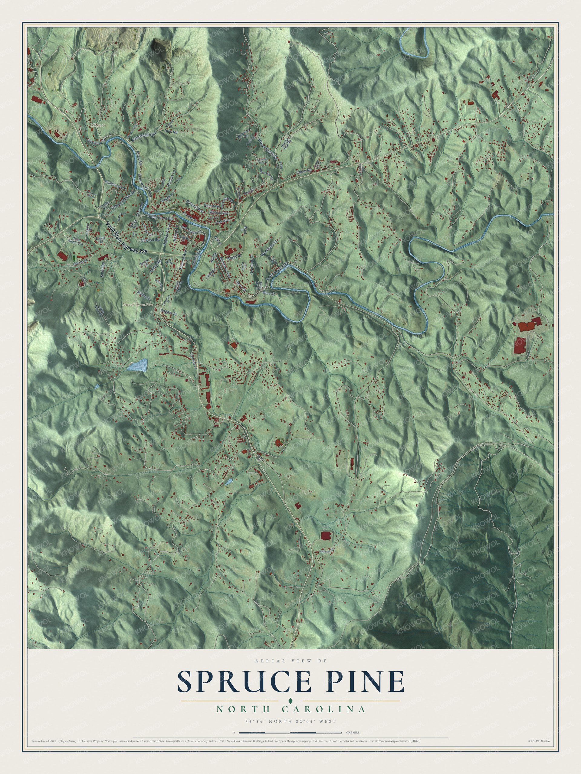
This beautifully detailed map of Spruce Pine, North Carolina was created in 2026 using aerial imagery combined with modern topographical, census, street and landmark data. It’s a one-of-a-kind view of Spruce Pine that combines accurate data with a vintage aesthetic. The map shows every building in its true location, many of the roads carry their names, and the shaded topographic relief shows the shape of the land.
Explore an aerial view of Spruce Pine, North Carolina
On the map you’ll find Town of Spruce Pine, Minpro, and Grassy Creek, along with South State Highway 226, Greenwood Road, Summit Avenue, Valley Road, Roan Road, Altapass Highway, State Road 1121, State Road 1403, Oak Avenue, and more. If you look closely you can even find your house accurately drawn in its correct location. Zoom in on the preview to look for yours.
Did you know this piece of Spruce Pine, North Carolina history?
Spruce Pine began in 1907, as the Clinchfield Railroad climbed the North Toe River from Erwin, Tennessee. Spruce Pine first grew around a tavern run by Isaac English on an old road from Cranberry to Marion. His Old English Inn still stands near the center of town.
Take a closer look at the Spruce Pine map
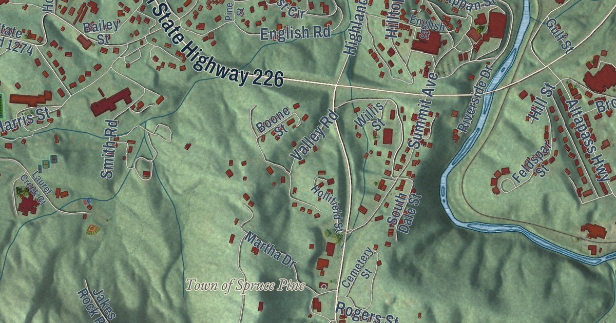
Street and place names on the Spruce Pine, North Carolina map
These names are printed on the map of Spruce Pine, North Carolina.
Places: Town of Spruce Pine and Minpro.
Streets and roads: South State Highway 226, Roan Road, Valley Road, Altapass Highway, State Road 1121, Walnut Avenue, State Road 1403, Greenwood Road, Oak Avenue, Creed Pitman Road, Summit Avenue, Overlook Drive.
More street names, A to Z
Bailey Street, Balsam Avenue, Beaver Creek Road, Berry Street, Blue Jay Drive, Boone Street, Broad Street, Buchanan Street, Cabin Road, Cemetery Street, Deer Park Lake Road, Dogwood Lane, Duncan Street, East Tappan Street, Elm Street, English Road, English Street, Fairground Street, Fairway Lane, Feldspar Street, Forest Hill Drive, George Gap Road, Gulf Street, Halltown Road, Harris Street, Hazel Avenue, Highland Avenue, Hillcrest Circle, Hill Street, Hilltop Lane, Hollifield Street, Horizon Drive, Hunter Heights, Jakes Rock Road, Laurel Avenue, Laurel Creek Court, Locust Street, Lynn Street, Martha Drive, McKinney Road, Meadowlark Drive, Mica Street, Old Nc 226, Ollis Road, Patty Lane, Pendley Road, Phillips Lane, Pine Avenue, Pine Branch Road, Pine Street, Reservoir Road, Riverside Drive, Rogers Street, Shannon Drive, Smith Road, South Dale Street, Stafford Road, State Road 1142, State Road 1146, State Road 1274, Stroup Road, Summer Hill Lane, Sunny Brook Drive, Terrace Court, Ward Street, Watson Drive, Willis Street, Woodland Street.
See the Spruce Pine, North Carolina map on a wall
The Spruce Pine map as an 18 x 24 inch print in a black frame.

This beautifully detailed map of Spruce Pine makes an attractive addition to your office, library, or den, and it can even be used to teach children the geography and history of the area. It also makes a great gift for anyone who grew up in Spruce Pine or moved away. When you’re done exploring, click here to get your copy of the Spruce Pine map.