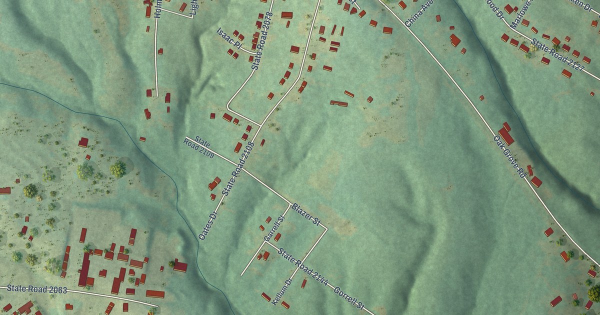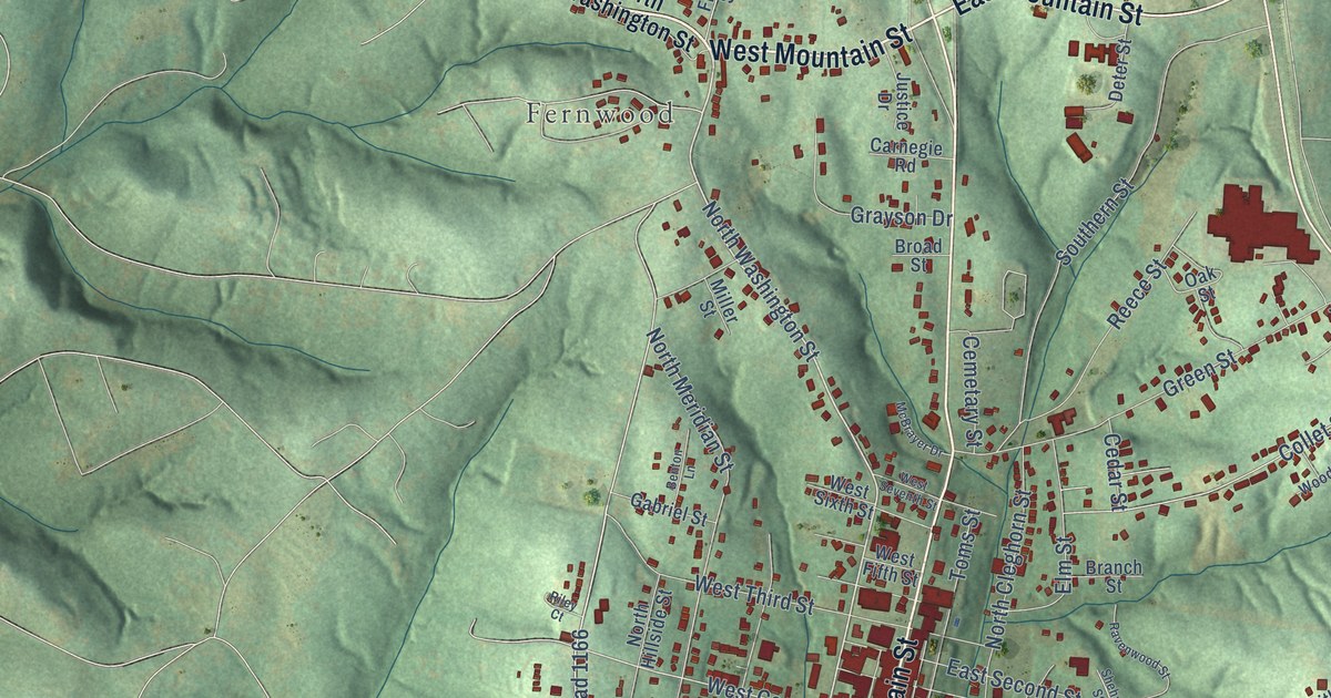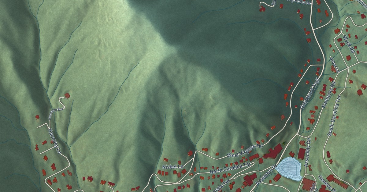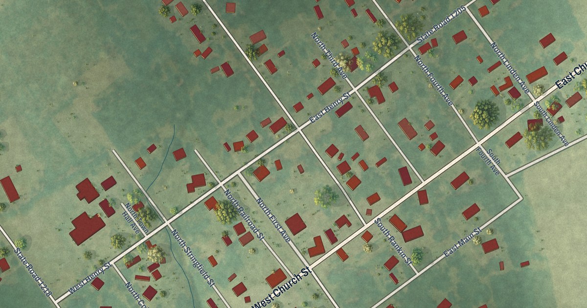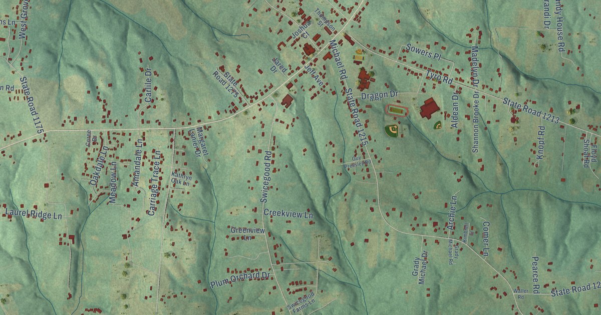
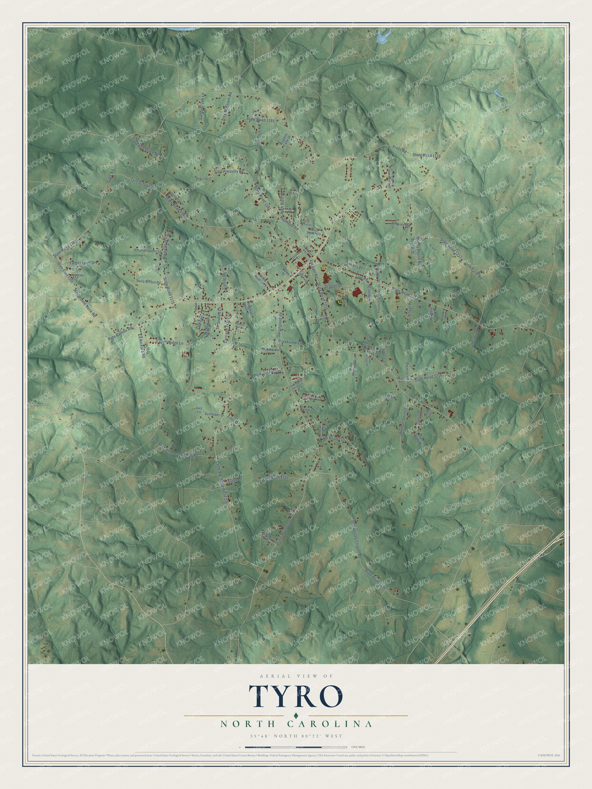
This beautifully detailed map of Tyro, North Carolina was created in 2026 using aerial imagery combined with modern topographical, census, street and landmark data. It's a modern aerial view of Tyro in Davidson County, North Carolina, that combines modern data with a vintage aesthetic. The roads feature printed names, and if you look closely you can find your exact house accurately shown in its correct location.
Explore an aerial view of Tyro, North Carolina
On this map you'll find State Road 1184, State Road 1181, Giles Road, State Road 1183, State Road 1155, Swicegood Road, Lamb Road, State Road 1160, Michael Road, State Road 1215, State Road 1213, Tyro Road, and more. Each red shape is a building, so zoom in on the preview and look for yours.
Every town has a first chapter, and Tyro is no exception. The village of Tyro apparently took both its name and its start from Joseph H. Thompson's store and his Tyro Iron Works. For most of the late 1800s the iron works was the largest farm equipment foundry in Davidson County, making plows, corn shellers and cutters. Thompson's brick home and tavern at the crossroads, Tyro Tavern, was called the finest Greek Revival house in the county. That's from the North Carolina Historic Preservation Office.
Tyro is a community in Davidson County. The Census Bureau counted 3,753 people here in 2020.
Take a closer look at the Tyro map
Names on this map
These names are printed on this map.
Streets and roads: State Road 1184, State Road 1181, Giles Road, State Road 1183, State Road 1155, Swicegood Road, Lamb Road, State Road 1160, Michael Road, State Road 1215, State Road 1213, Tyro Road.
More street names, A to Z
Aldean Drive, Amandale Lane, Angel Lane, Archie Lane, Bertessa Lane, Brandi Drive, Carlile Drive, Carl Pressley Road, Carolina Acres Road, Carriage Lane, Carriage Trace Lane, Charlie Owens Lane, Comer Lane, Coree Drive, Creekview Lane, Curtis Drive, Della Wilson Road, Dragon Drive, Ed Rickard Road, Elm Drive, Enos Drive, Erwen Road, Eulala Leonard Road, Family Feud Drive, Farabee Homestead Road, Floyd Shoaf Road, Fritts Road, Gene Hege Road, Goat Drive, Grady Michael Drive, Grady Michael Road, Greenview Lane, Guy Pressley Road, Haywood Road, Helen Drive, High Bluff Drive, Horseshoe Neck Road, Hoyle Grubb Lane, Inez Lane, Jared Drive, Jeff Avenue, Jenkins Road, Joshua Court, Kathryn Oak Lane, Katlyn Drive, Kimbrell Street, Knopf Road, Laurel Ridge Lane, Little Rock Avenue, Longhorn Trail, Madelyn Drive, Margaret Lanier Drive, Meadow Lane, Mundy House Road, Oakdale Lane, Old Wesley Chapel Road, Pearce Road, Pear Tree Lane, Penny Lane, Penny Metcalf Drive, Pete Barnes Road, Pintail Drive, Plum Orchard Drive, Poor Mans Drive, Raylenn Farm Drive, Sandy Creek Lane, Shannon Brooke Drive, Sink Farm Road, Skylark Lane, Sowers Place, State Road 1156, State Road 1157, State Road 1159, State Road 1169, State Road 1175, State Road 1176, State Road 1180, State Road 1212, State Road 1216, State Road 1275, State Road 1324, Sunflower Drive, Swicegood Farms Lane, Thompson Street, Troy McElrath Road, Tyro School Road, Waller Road, Weldon Smith Road, West Grove Road, Windchime Court.
See it on a wall
The Tyro map as a framed print. Swipe for more.


Created by KNOWOL in 2026. The buildings are small red shapes, the roads carry their printed names, and shaded relief shows the shape of the land. The title panel reads "AERIAL VIEW OF TYRO, NORTH CAROLINA" with 35°48' NORTH 80°22' WEST.
Hang it in the hallway, the office or the cabin, or give it to someone who left Tyro and still calls it home. Open the preview and look for a street you know. See sizes and frames for the Tyro map.