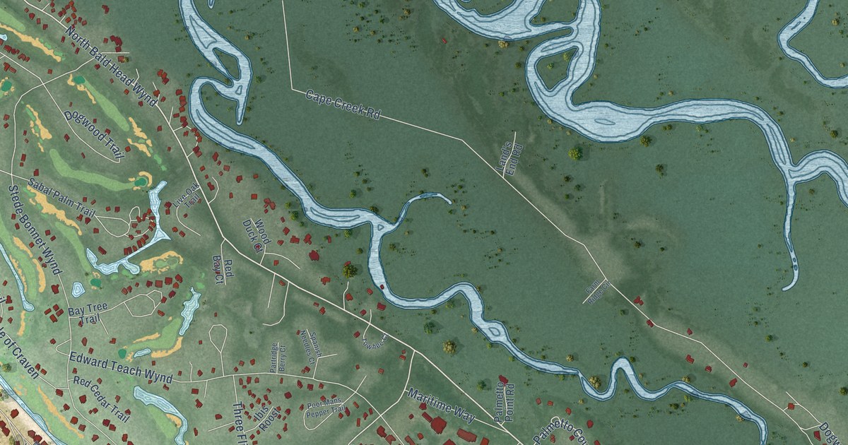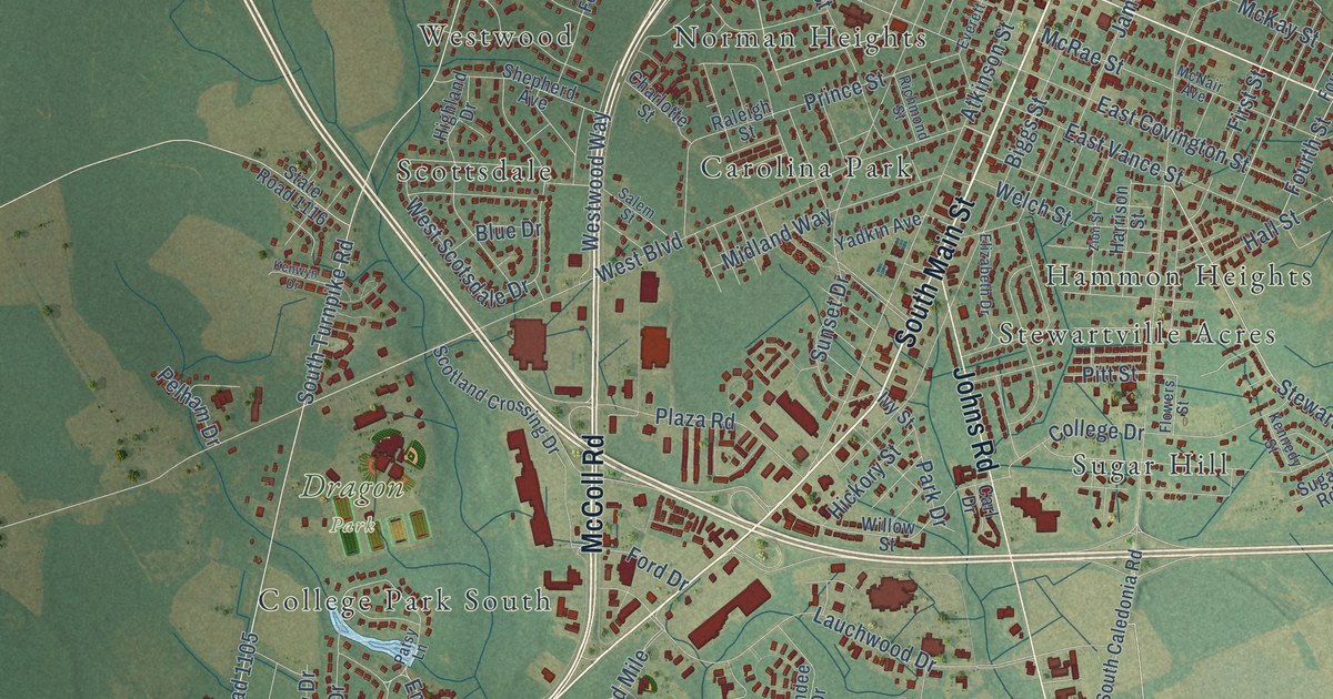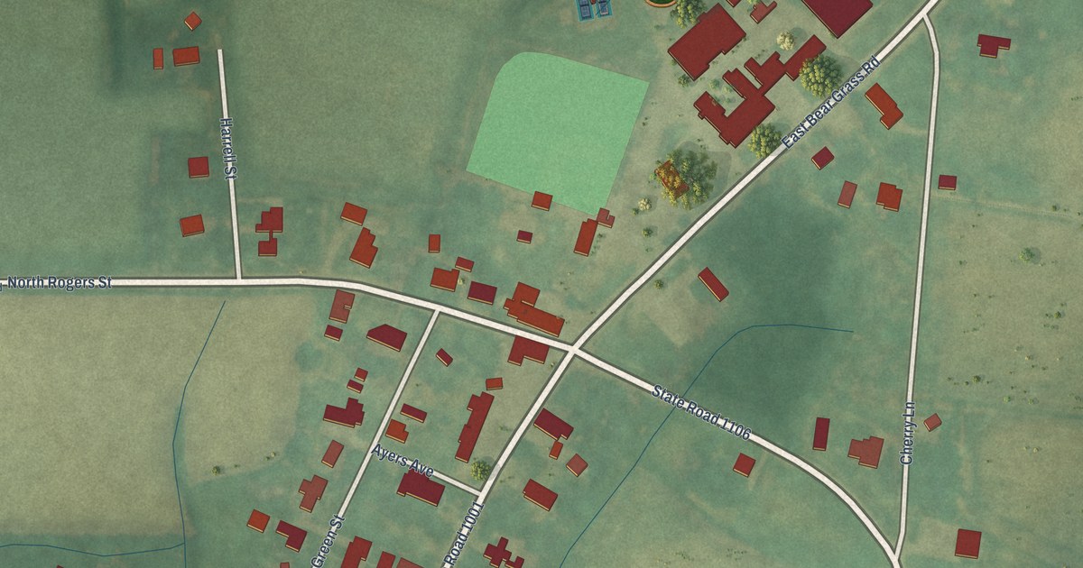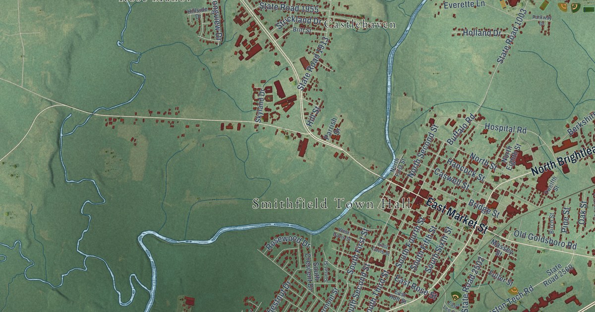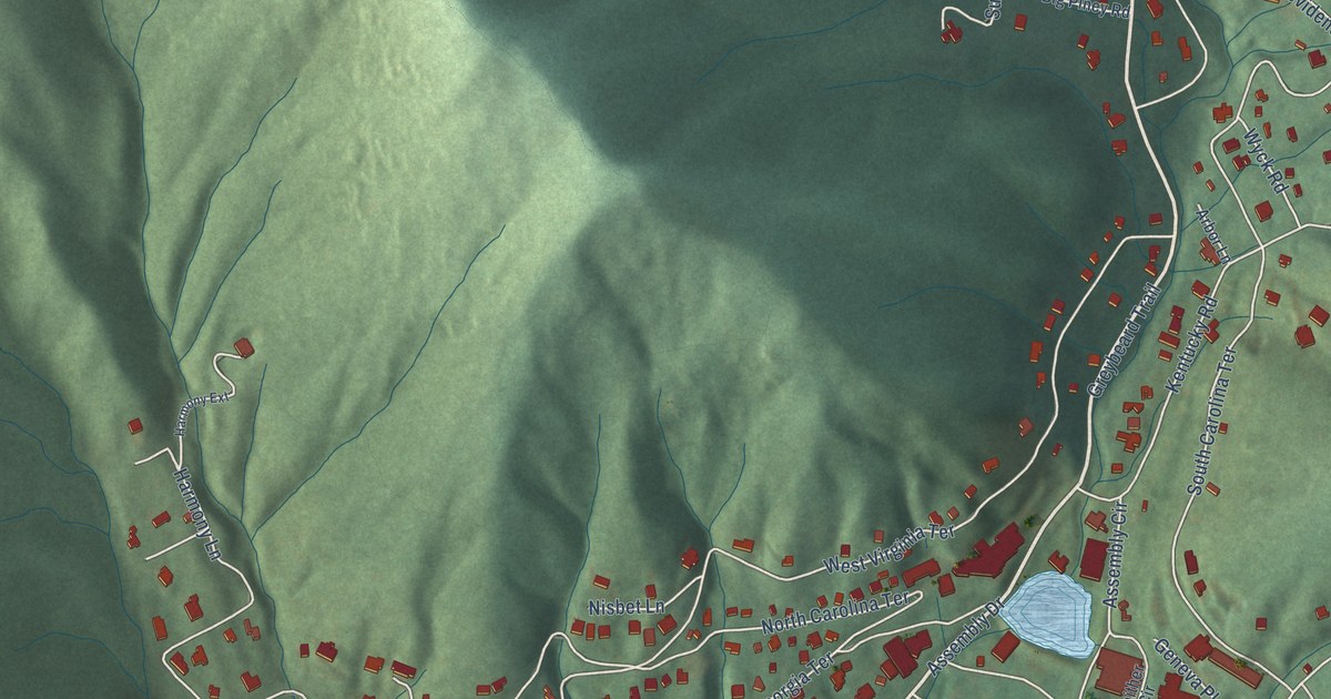
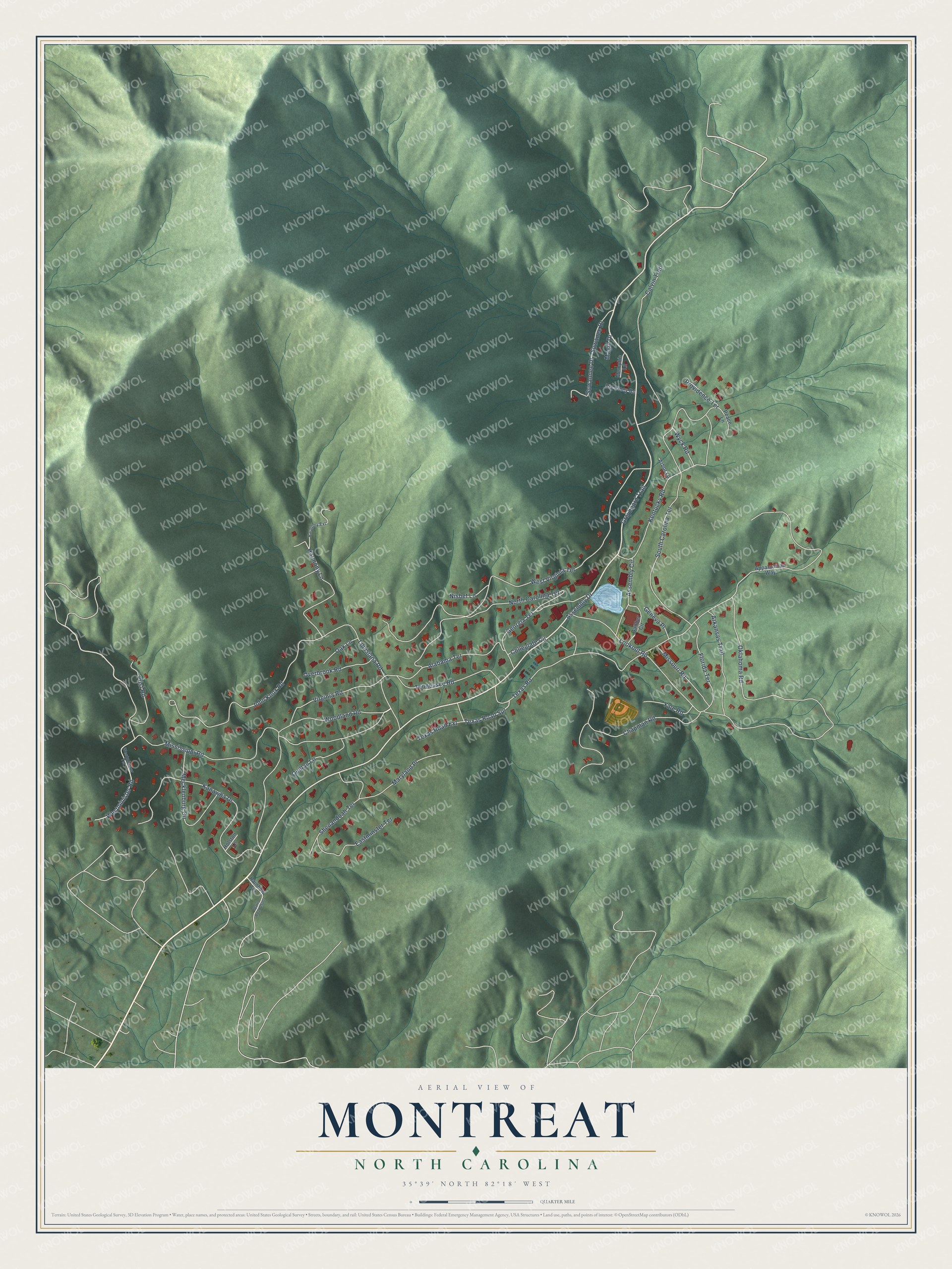
This beautifully detailed map of Montreat, North Carolina was created in 2026 using aerial imagery combined with modern topographical, census, street and landmark data. It's a modern aerial view of Montreat in Buncombe County, North Carolina, that combines modern data with a vintage aesthetic. The roads feature printed names, and if you look closely you can find your exact house accurately shown in its correct location.
Explore an aerial view of Montreat, North Carolina
On this map you'll find Assembly Drive, Greybeard Trail, Louisiana Road, Virginia Road, Mississippi Road, Lookout Road, West Virginia Terrace, John Knox Road, North Carolina Terrace, Kentucky Road, Kanawha Drive, South Carolina Terrace, and more. Each red shape is a building, so zoom in on the preview and look for yours.
Here is a piece of Montreat history, in the words of the record. The record at ncpedia.org puts it this way: "Montreat College , located 15 miles east of Asheville in Montreat, began in 1916 as Montreat Normal School, an institution founded by the Presbyterian Church (USA) to prepare young women to become Christian teachers."
Montreat is a town in Buncombe County. The Census Bureau counted 901 people here in 2020.
Take a closer look at the Montreat map
Names on this map
These names are printed on this map.
Streets and roads: Assembly Drive, Greybeard Trail, Louisiana Road, Virginia Road, Mississippi Road, Lookout Road, West Virginia Terrace, John Knox Road, North Carolina Terrace, Kentucky Road, Kanawha Drive, South Carolina Terrace.
More street names, A to Z
Alabama Terrace, Appalachian Way, Arbor Lane, Arkansas Trail, Assembly Circle, Big Piney Road, Calvin Trail, Chapman Road, Collegiate Circle, Eastminster Terrace, Florida Terrace, Frist Road, Gaither Circle, Geneva Place, Georgia Terrace, Harmony Extension, Harmony Lane, Holston Lane, Magill Drive, Maryland Place, Mecklenburg Circle, Memphis Lane, Missouri Road, Nisbet Lane, Oak Lane, Oklahoma Road, Overbrook Road, Peace Lane, Providence Terrace, Quillan Lane, Rainbow Terrace, Shenandoah Terrace, State Road 2520, Suwanee Drive, Suwannee Drive, Tennessee Road, Texas Road, Texas Road Extension, Texas Road Spr, Westminister Road, Westminster Terrace, Woodland Road, Wyck Road, Yale Road.
Created by KNOWOL in 2026. The buildings are small red shapes, the roads carry their printed names, and shaded relief shows the shape of the land. The title panel reads "AERIAL VIEW OF MONTREAT NORTH CAROLINA" with 35°39' NORTH 82°18' WEST.
It suits a den, a classroom or a front hall, and it makes a gift for anyone with Montreat roots. Open the preview and find the block you know. See sizes and frames for the Montreat map.