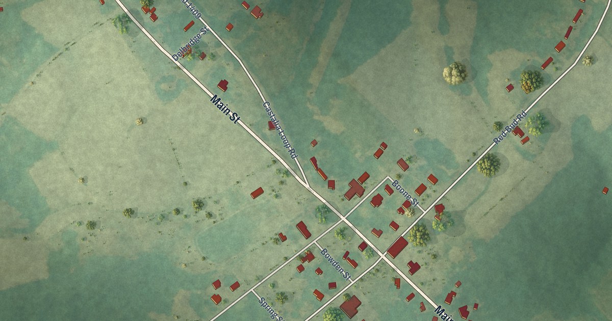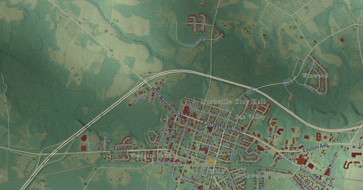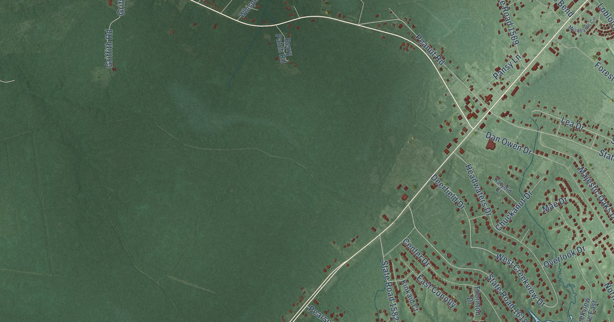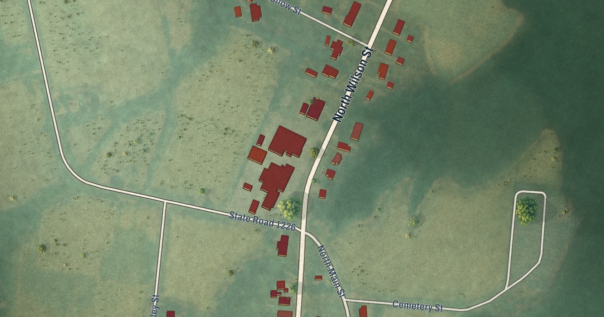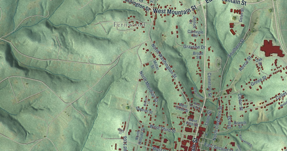
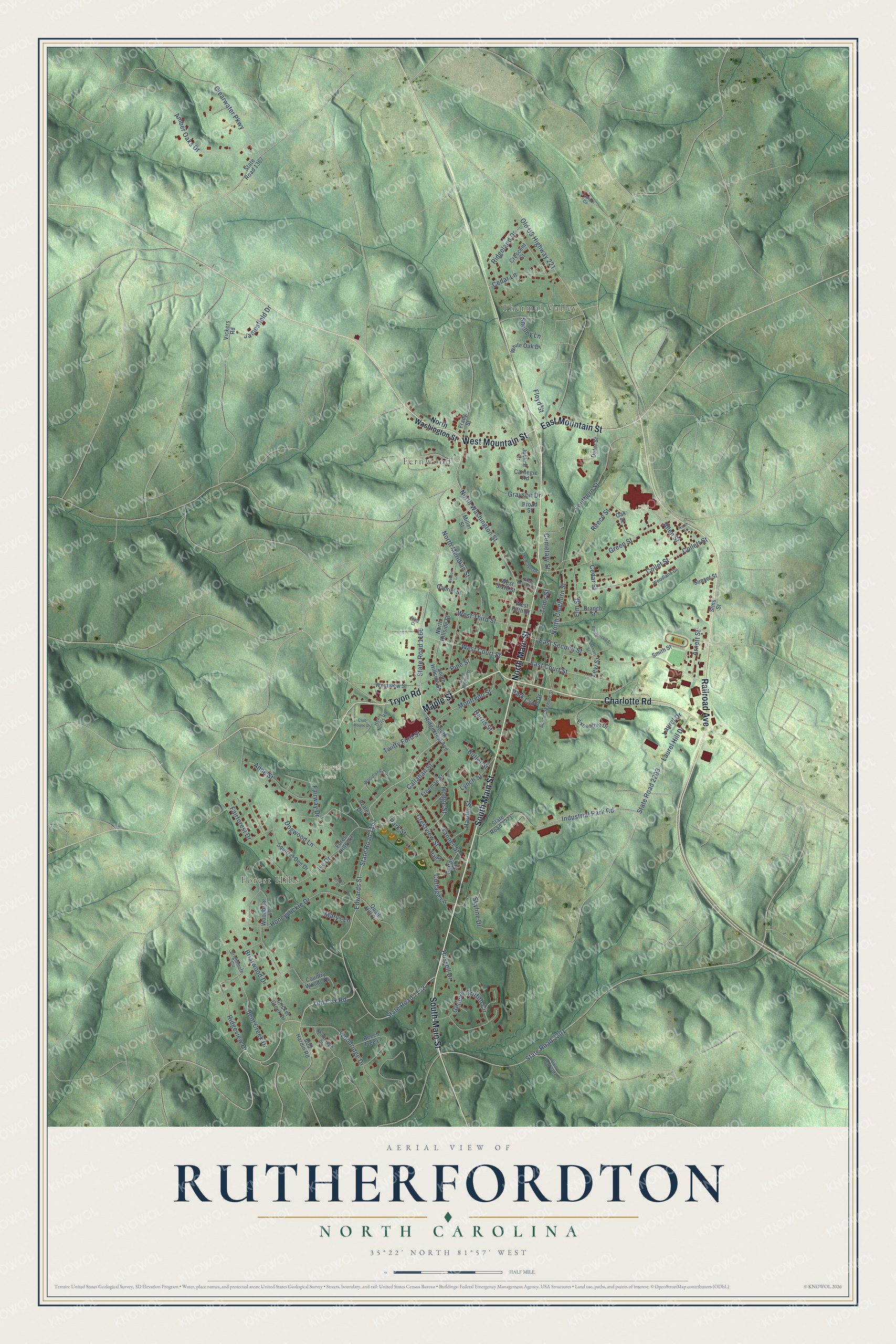
This beautifully detailed map of Rutherfordton, North Carolina was created in 2026 using aerial imagery combined with modern topographical, census, street and landmark data. It's a modern aerial view of Rutherfordton in Rutherford County, North Carolina, that combines modern data with a vintage aesthetic. The roads feature printed names, and if you look closely you can find your exact house accurately shown in its correct location.
Explore an aerial view of Rutherfordton, North Carolina
On this map you'll find Thermal Valley, Forest Hills, Fernwood, Norris Park, South Main Street, Maple Street, North Main Street, West Mountain Street, Charlotte Road, Railroad Avenue, East Mountain Street, Tryon Road, and more. Each red shape is a building, so zoom in on the preview and look for yours.
Here is a piece of Rutherfordton history, in the words of the record. The record at dncr.nc.gov puts it this way: "The elder Bechtler first opened a jewelry shop in Rutherfordton but soon saw that the lack of currency in western North Carolina was stifling the regional economy."
Rutherfordton is a town in Rutherford County. The Census Bureau counted 3,640 people here in 2020.
Take a closer look at the Rutherfordton map
Names on this map
These names are printed on this map.
Places: Thermal Valley, Forest Hills, Fernwood and Norris Park.
Streets and roads: South Main Street, Maple Street, North Main Street, West Mountain Street, Charlotte Road, Railroad Avenue, East Mountain Street, Tryon Road, North Washington Street, State Road 1153, Old Cox Road, West Court Street.
More street names, A to Z
Allen Street, Amber Oaks Drive, Anders Place, Anne Street, Arnett Street, Azalea Drive, Beech Tree Lane, Bent Creek Drive, Benton Lane, Bob Hardin Road, Branch Street, Briarwood Drive, Brightmore Circle, Broad Street, Butler Street, Callahan Street, Carnegie Road, Cedar Lane, Cedar Street, Cemetary Street, Clearwater Parkway, Club House Drive, Collet Street, Collett Street, Cottage Lane, Country Woods Drive, Crescent Street, Crestview Street, Cricket Creek Drive, Deter Street, Dogwood Lane, East Court Street, East Second Street, Edwards Street, Elm Street, Executive Drive, Fairforest Drive, Fairway Drive, Fashion Circle, Floyd Street, Forest Hills Circle, Frady Street, Freeman Street, Gabriel Street, General Griffith Circle, Grayson Drive, Green Street, Hall Street, Hardin Street, Harris Street, Henry Norris Road, Hodge Street, Honeysuckle Drive, Industrial Park Road, Ivy Drive, Jamesfield Drive, Justice Drive, Laurel Drive, Laurel Hill Drive, Levi Street, Lynch Street, Marys Lane, McBrayer Drive, Miller Street, Monfredo Street, North Cleghorn Street, North Hillside Street, North Meridian Street, North Street, Oak Street, Old US Highway 221, Park Lane Drive, Park Street, Patton Street, Pine Street, Quail Hill Drive, Ravenwood Street, Reece Street, Ridgeland Drive, Ridgeview Drive, Riley Court, Russell Drive, Shehan Street, Shelley Lane, Sims Street, Skyline Drive, Smith Street, South Cleghorn Street, Southern Street, South Hillside Street, South Mitchell Street, South Ridgecrest Avenue, Southridge Drive, Squirrel Den Drive, State Road 1152, State Road 1166, State Road 1367, State Road 2193, State Road 2201, State Road 2203, State Road 2271, Sunset Street, Tanner Street, Toms Street, Twitty Ford Street, Vickers Road, West Fifth Street, West Seventh Street, West Sixth Street, West Third Street, Westview Street, White Oak Drive, Woodbriar Lane, Woodland Circle, Woodland Drive, Woodridge Drive.
Created by KNOWOL in 2026. The buildings are small red shapes, the roads carry their printed names, and shaded relief shows the shape of the land. The title panel reads "AERIAL VIEW OF RUTHERFORDTON NORTH CAROLINA" with 35°22' NORTH 81°57' WEST.
It suits a den, a classroom or a front hall, and it makes a gift for anyone with Rutherfordton roots. Open the preview and find the block you know. See sizes and frames for the Rutherfordton map.