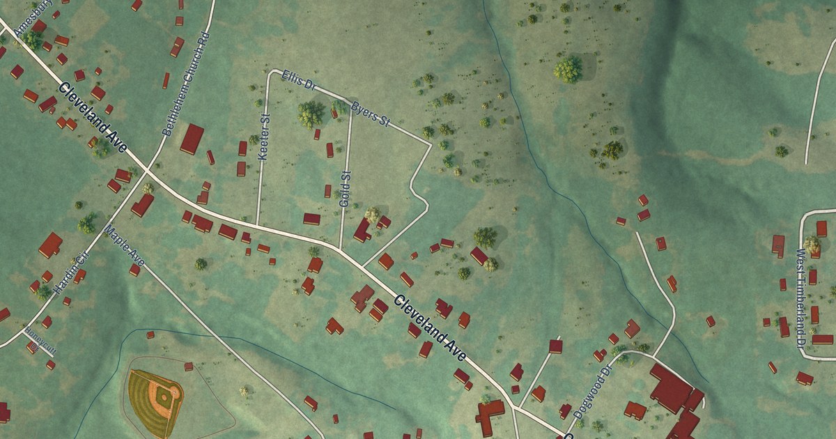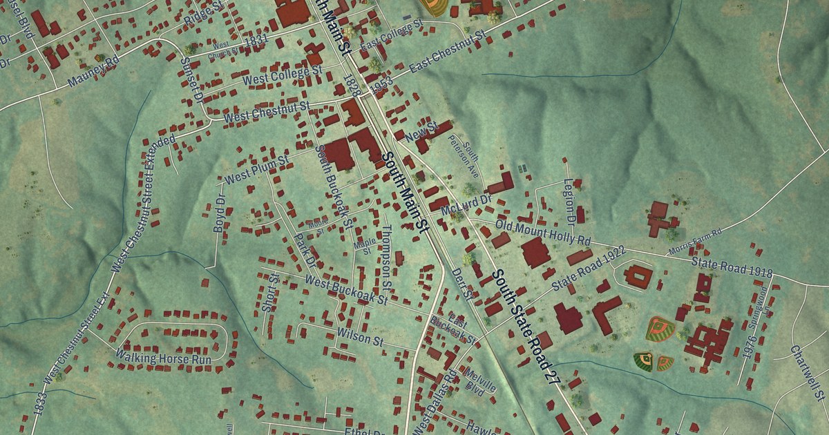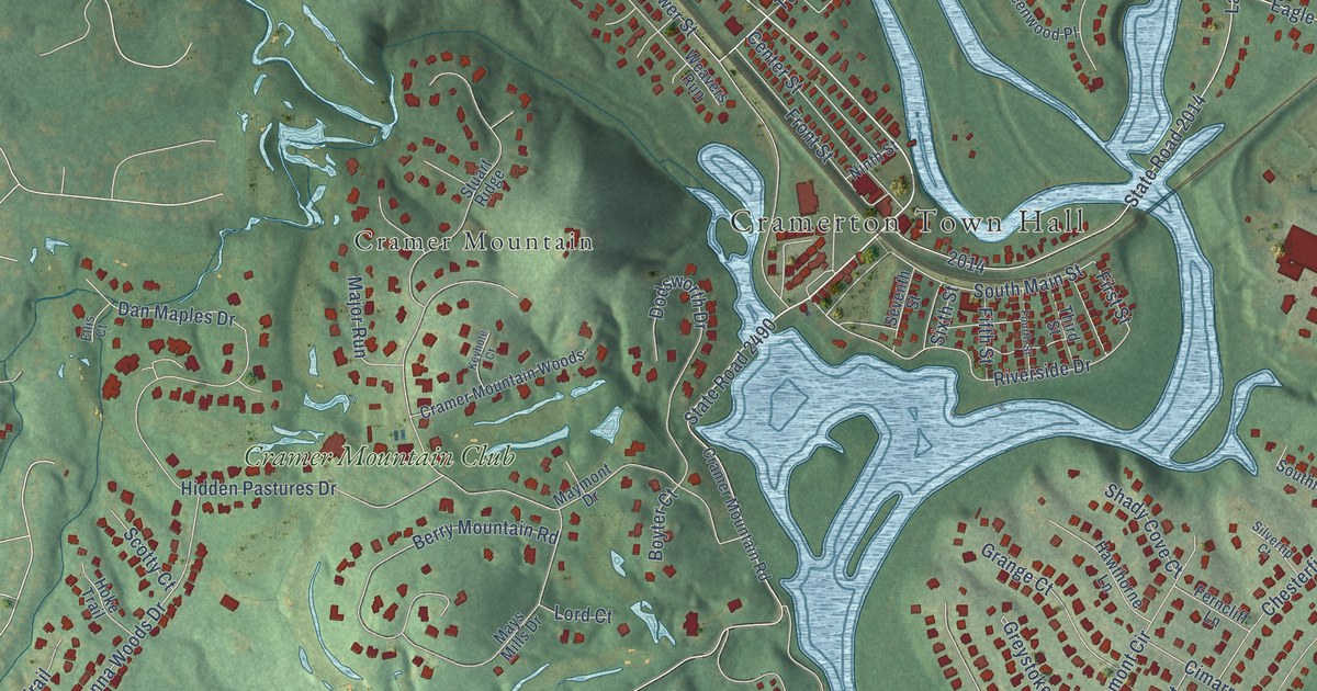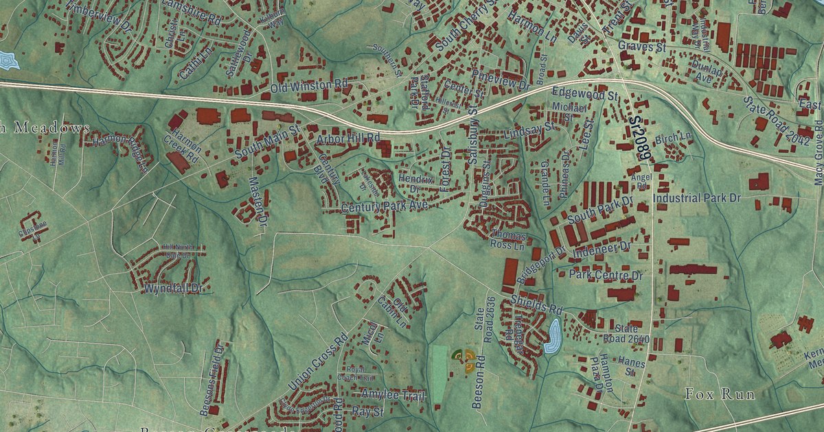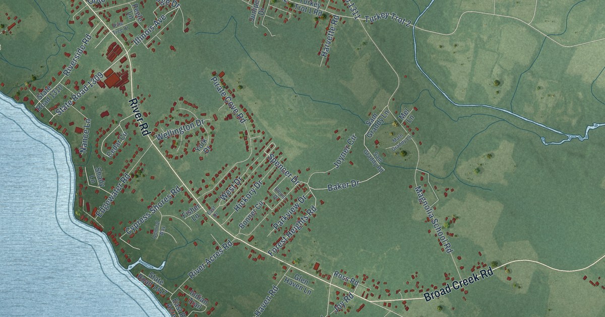
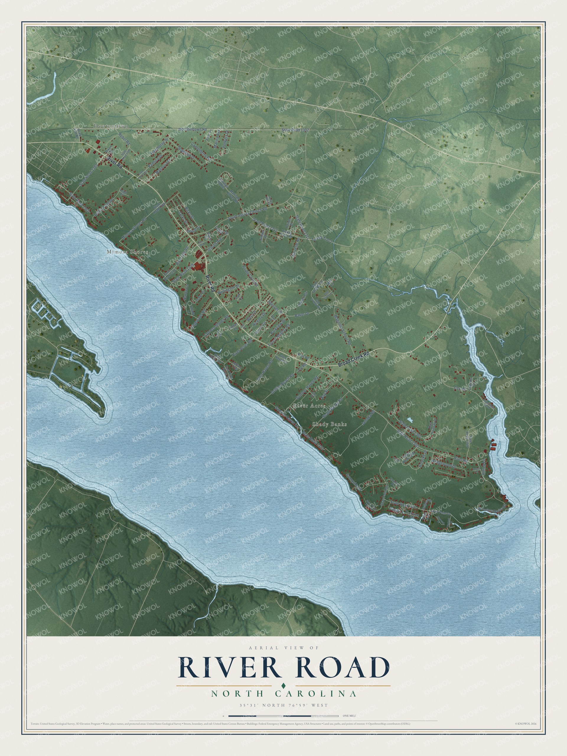
This beautifully detailed map of River Road, North Carolina was created in 2026 using aerial imagery combined with modern topographical, census, street and landmark data. It's a modern aerial view of River Road in Beaufort County, North Carolina, that combines modern data with a vintage aesthetic. The roads feature printed names, and if you look closely you can find your exact house accurately shown in its correct location.
Explore an aerial view of River Road, North Carolina
On this map you'll find Mimosa Shores, Shady Banks, River Acres, Hootentown, River Road, Broad Creek Road, Baker Drive, State Road 1309, Illinois Avenue, Griffins Beach Road, Spencer Drive, State Road 1311, and more. Each red shape is a building, so zoom in on the preview and look for yours.
River Road is a community in Beaufort County. The Census Bureau counted 4,048 people here in 2020. River Road sits about 3 miles southeast of Washington Park, 4 miles east of Cypress Landing and 5 miles southeast of Washington. The map prints the town name in its title panel, with the coordinates below it.
Take a closer look at the River Road map
Names on this map
These names are printed on this map.
Places: Mimosa Shores, Shady Banks, River Acres and Hootentown.
Streets and roads: River Road, Broad Creek Road, Baker Drive, State Road 1309, Illinois Avenue, Griffins Beach Road, Spencer Drive, State Road 1311, West Drive, Bay Street, State Road 1302, Whootentown Road.
More street names, A to Z
Admiral Way, Austin Point Drive, Bethel Avenue, Blount Drive, Bonner Circle, Brick Kiln Road, Canal Lane, Canterberry Road, Captains Cv, Cedar Circle, Country Place, Cox Road, Cypress Shores Road, Dixon Circle, Dogwood Drive, Duckview Trail, East Drive, East Fairway Drive, East River Acres Road, Edgewater Road, Fisher Lane, Fishermens Bend, Forest Heights Road, Forest Lane, Glen Haven Lane, Glen Haven Road, Harvette Road, Harveys Hamlet, Hawthorne Drive, Hickory Drive, Hilltop Lane, Holley Glen Drive, Holyoke Drive, Indian Trail, Jacks Street, Jamaka Road, Joyner Circle, Joy Road, Juniper Drive, Leigh Drive, Lodge Drive, Magnolia Drive, Magnolia School Road, Mallison Harvey Road, Marina Avenue, Math Graddy Lane, McCotters Marina Road, Mel Lane, Mimosa Shores Road, Nance Lane, Office Drive, Pamlico Drive, Parkview Drive, Peele Lane, Pine Street, Pine Tree Drive, Pirate Cove Road, Pointe Drive, Potts Avenue, Rebel Road, Ricks Street, River Acres Road, Riverside Road, Riverwalk Drive, Ross Road, Sam Graddy Lane, Sam Graddy Road, Shady Banks Road, Shady Lane, South Asbury Church Road, State Road 1300, State Road 1301, State Road 1307, State Road 1308, State Road 1310, State Road 1312, State Road 1317, State Road 1321, State Road 1348, State Road 1351, State Road 1355, State Road 1362, State Road 1364, State Road 1366, Summer Haven Lane, Summer Haven Road, Sunnyside Drive, Swan Point Drive, Swan Point Reef Road, Swan Point Road, Turkey Trot 1 Road, Turkey Trot 2, Vassar Place, Vernon Lane, Walker Avenue, Wedgewood Drive, Wellington Drive, Yonkers Drive, York Drive.
See it on a wall
The River Road map as a framed print. Swipe for more.


Created by KNOWOL in 2026. The buildings are small red shapes, the roads carry their printed names, and shaded relief shows the shape of the land. The title panel reads "AERIAL VIEW OF RIVER ROAD, NORTH CAROLINA" with 35°31' NORTH 76°59' WEST.
It suits a den, a classroom or a front hall, and it makes a gift for anyone with River Road roots. Open the preview and find the block you know. See sizes and frames for the River Road map.