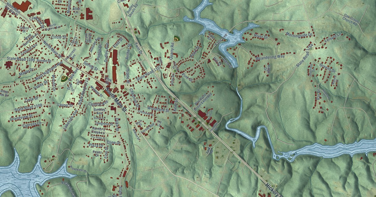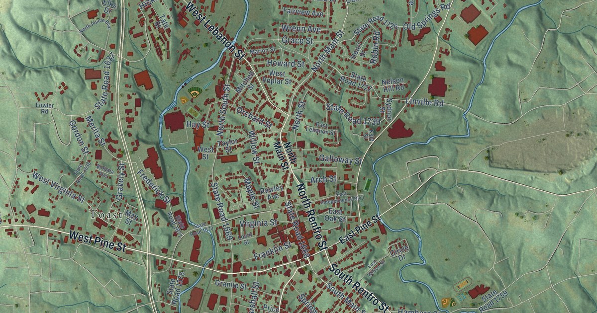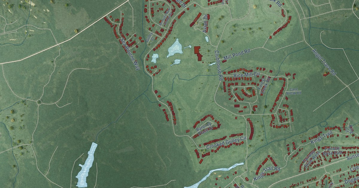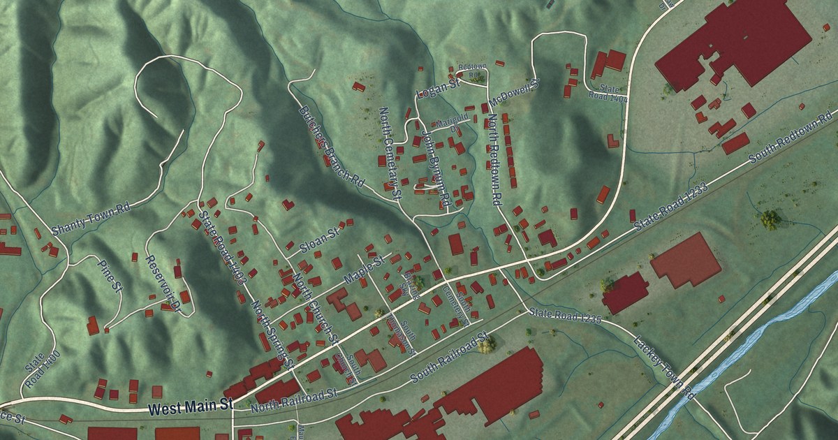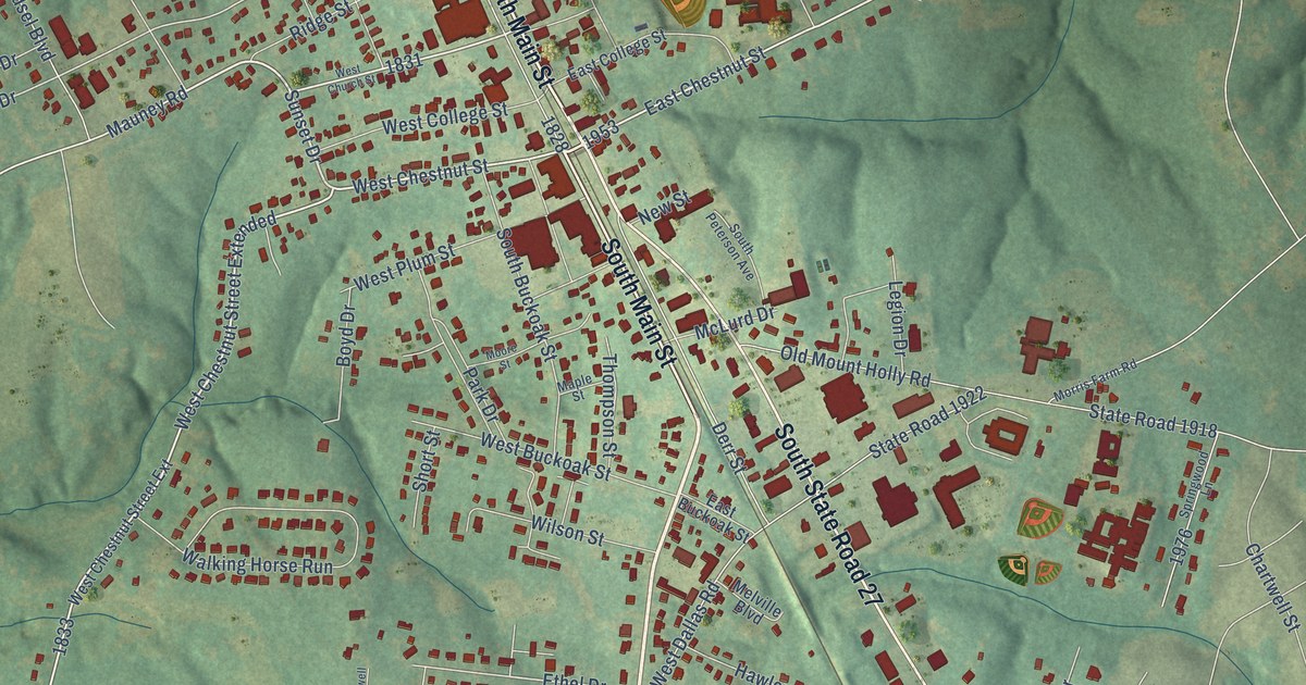
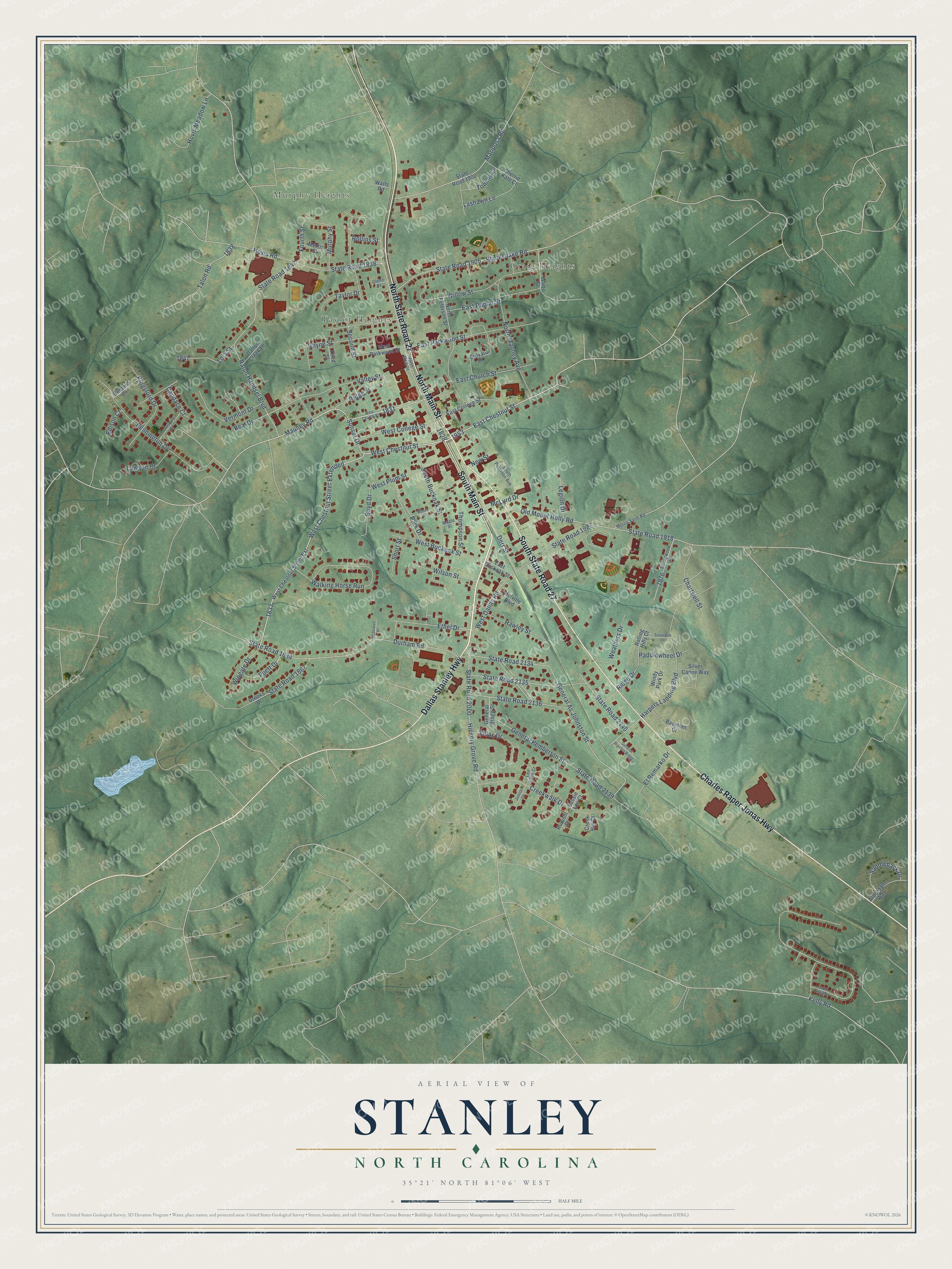
This beautifully detailed map of Stanley, North Carolina was created in 2026 using aerial imagery combined with modern topographical, census, street and landmark data. It's a modern aerial view of Stanley in Gaston County, North Carolina, that combines modern data with a vintage aesthetic. The roads feature printed names, and if you look closely you can find your exact house accurately shown in its correct location.
Explore an aerial view of Stanley, North Carolina
On this map you'll find Murphy Heights, Taylor Heights, Craig Heights, South Main Street, North State Road 27, Charles Raper Jonas Highway, South State Road 27, North Main Street, Dallas Stanley Highway, West Chestnut Street Extended, West Chestnut Street, Sunset Drive, and more. Each red shape is a building, so zoom in on the preview and look for yours.
Here is a piece of Stanley history, in the words of the record. The North Carolina Gazetteer puts it this way: "Stanley town in N Gaston County. Inc. 1897 as Brevard Station and named for Robert Alexander Brevard, who gave land in 1861 for railroad station. Renamed Stanley Creek, 1893, and Stanley, 1911."
Stanley is a town in Gaston County. The Census Bureau counted 3,963 people here in 2020.
Take a closer look at the Stanley map
Names on this map
These names are printed on this map.
Places: Murphy Heights, Taylor Heights and Craig Heights.
Streets and roads: South Main Street, North State Road 27, Charles Raper Jonas Highway, South State Road 27, North Main Street, Dallas Stanley Highway, West Chestnut Street Extended, West Chestnut Street, Sunset Drive, Ethel Drive, East Chestnut Street, Valley Street.
More street names, A to Z
Arbordale Way, Baymont Court, Beal Drive, Benford Lane, Bennington Drive, Bessie Lee Court, Blacksnake Road, Boyd Drive, Brevard Drive, Brooks Drive, Candace Court, Chartwell Street, Cherrie Kate Court, Creek Hill Court, Creekwalk Drive, Dalton Creek Lane, Derr Street, Durham Road, East Buckoak Street, East Church Street, East College Street, East Parkwood Street, East Poplar Street, Edison Court, El Remarko Drive, Fourth Street, General As Johnston Street, General Bragg Street, General Braxton Bragg, General Pemberton Street, Glenn Street, Harpers Landing Boulevard, Hawley Street, Hickory Grove Road, Hovis Meadow Lane, Hovis Road, Johnsbury Drive, Junior Court, Kelly Road, Kingsford Drive, Lake Vista Drive, Lashawn Lane, Lawson Court, Lee Ellen Court, Legion Drive, Lola Street, Maple Street, Mariposa Road, Mauney Road, McDowell Place, McLurd Drive, Melville Boulevard, Moore Street, Morris Farm Road, Morris Street, Murphy Street, New Street, North Mauney Avenue, North Peterson Street, Old Mount Holly Road, Paddlewheel Drive, Park Drive, Puett Drive, Ralph Handsel Boulevard, Rhyne Street, Ridge Drive, Ridge Street, Rolling Hills Court, Rollins Street, Rudisill Court, Saddleback Drive, Second Street, Short Street, Silverbell Lane, Silver Canoe Way, South Buckoak Street, South Peterson Avenue, Springwood Lane, State Road 1834, State Road 1838, State Road 1847, State Road 1867, State Road 1902, State Road 1905, State Road 1918, State Road 1922, State Road 2000, State Road 2134, State Road 2135, State Road 2136, State Road 2139, State Road 2140, Talon Road, Taylor Drive, Third Street, Thompson Street, Tommy Lane, Vermont Drive, Villas Drive, Walking Horse Run, Watts Road, Watts Street, Weathers Drive, West Buckoak Street, West Chestnut Street Extension, West Church Street, West College Street, West Dallas Road, West Parkwood Street, West Plum Street, Willow Street, Wilson Street, Windy Park Drive, Wingate Drive.
Created by KNOWOL in 2026. The buildings are small red shapes, the roads carry their printed names, and shaded relief shows the shape of the land. The title panel reads "AERIAL VIEW OF STANLEY NORTH CAROLINA" with 35°21' NORTH 81°06' WEST.
It suits a den, a classroom or a front hall, and it makes a gift for anyone with Stanley roots. Open the preview and find the block you know. See sizes and frames for the Stanley map.