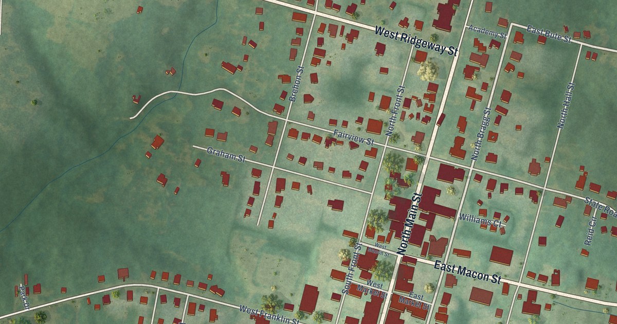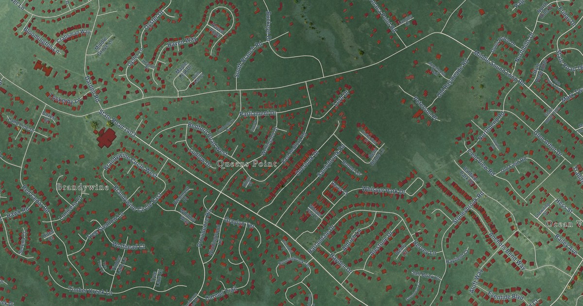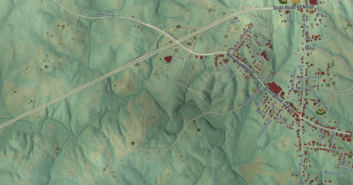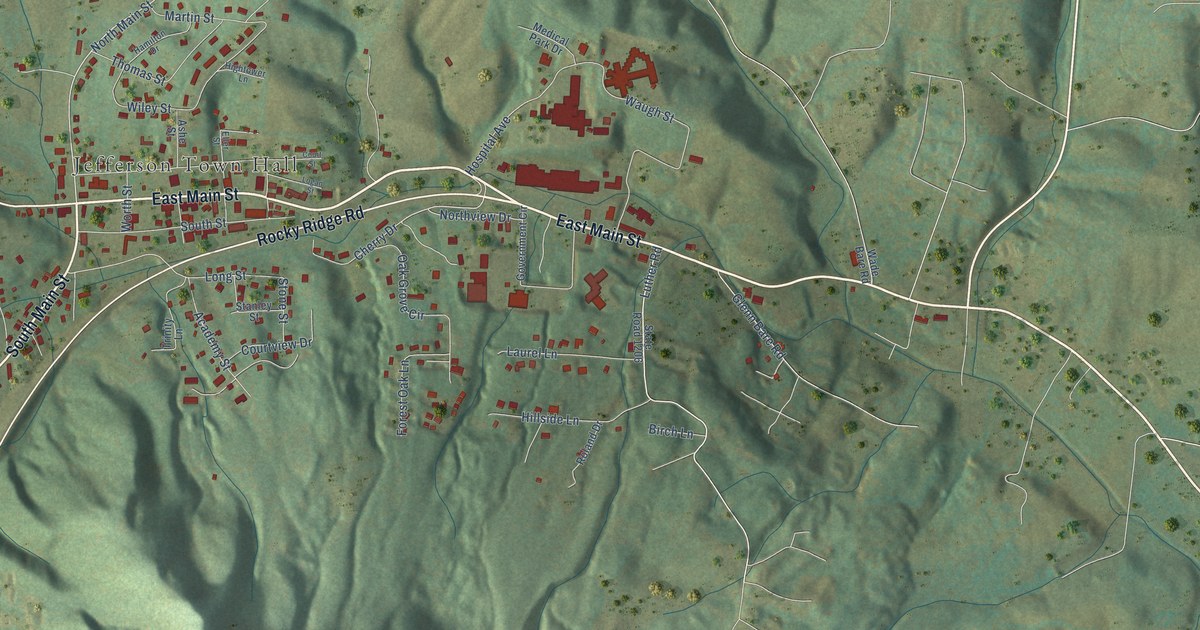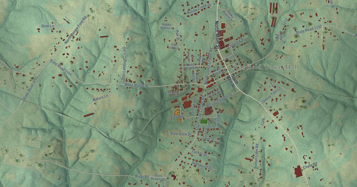
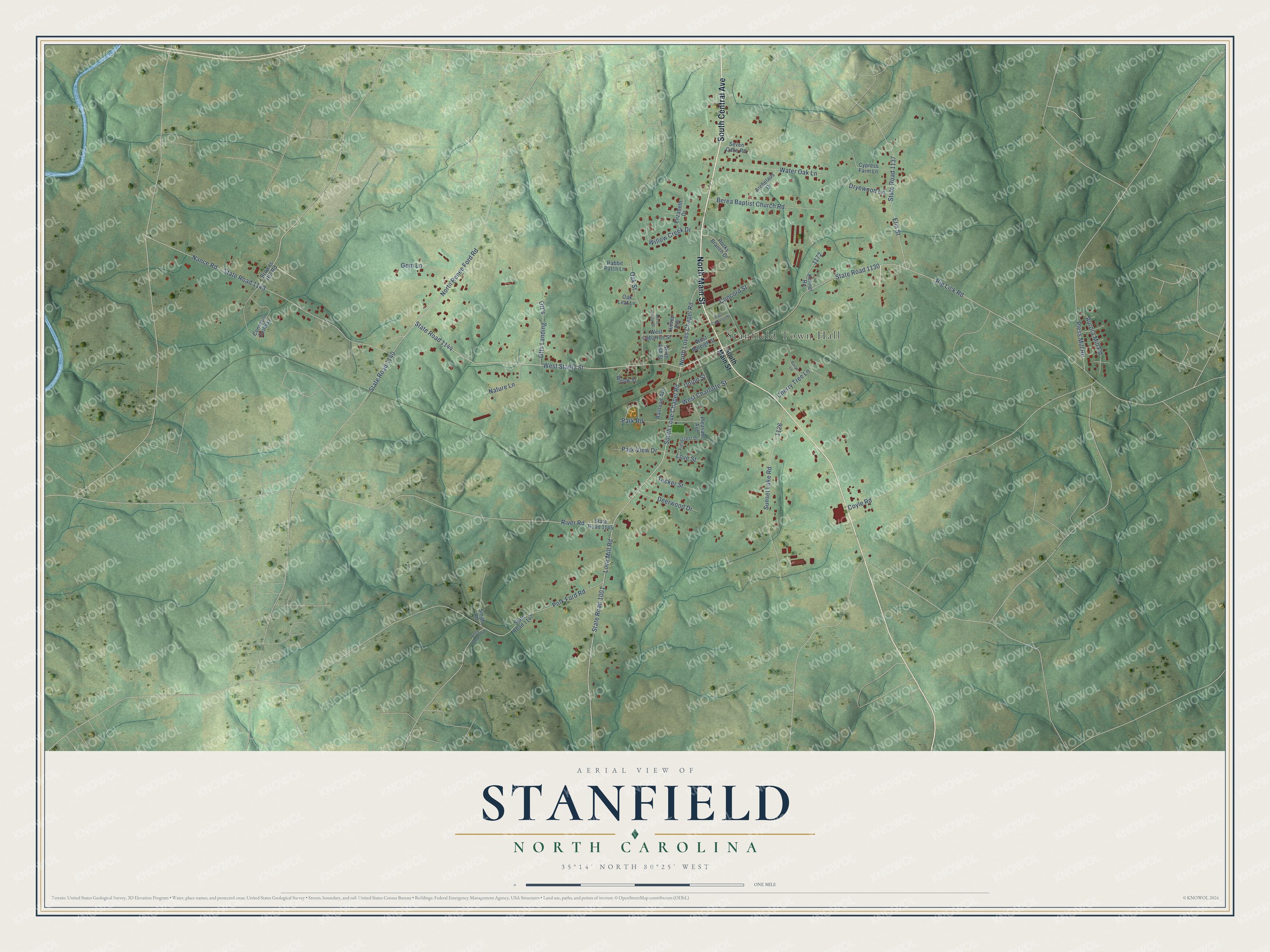
This beautifully detailed map of Stanfield, North Carolina was created in 2026 using aerial imagery combined with modern topographical, census, street and landmark data. It's a modern aerial view of Stanfield in Stanly County, North Carolina, that combines modern data with a vintage aesthetic. The roads feature printed names, and if you look closely you can find your exact house accurately shown in its correct location.
Explore an aerial view of Stanfield, North Carolina
On this map you'll find Stanfield Town Hall, North Main Street, South Central Avenue, State Road 1144, State Road 1001, North Renee Ford Road, South Love Chapel Road, Love Mill Road, North Loves Chapel Road, West Stanly Street, Big Lick Road, State Road 1130, and more. Each red shape is a building, so zoom in on the preview and look for yours.
Every town has a first chapter, and Stanfield is no exception. The Town of Stanfield puts it this way: "The Town of Stanfield was established upon completion of the railroad line from Raleigh to Charlotte in 1912. Stanfield was named for an engineer who helped complete the rail line through present day Stanfield."
Stanfield is a town in Stanly County. The Census Bureau counted 1,585 people here in 2020.
Take a closer look at the Stanfield map
Names on this map
These names are printed on this map.
Places: Stanfield Town Hall.
Streets and roads: North Main Street, South Central Avenue, State Road 1144, State Road 1001, North Renee Ford Road, South Love Chapel Road, Love Mill Road, North Loves Chapel Road, West Stanly Street, Big Lick Road, State Road 1130, Nance Road.
More street names, A to Z
Archelaus Drive, Aurora Mill Road, Bailyn Lane, Berea Baptist Church Road, Browns Hill Road, Cherry Tree Lane, Concord Street, Conveyor Beltway, Coyle Road, Cypress Farm Lane, Deerwood Drive, Dryewood Lane, East Cabarrus Street, Elizabeth Drive, Elm Street, Fieldcrest Drive, Gem Lane, Hilltop Avenue, Kennel Road, Love Street, Nature Lane, North Ash Street, North Poplar Street, Oak Leaf Lane, Oak Street, Ott's, Otts Landing, Park Road, Park View Drive, Pleasant Avenue, Pless Mill Road, Polk Ford Road, Rabbit Patch Lane, Railroad Avenue, River Road, Rocky Branch Drive, Seven Oaks Road, Smith Road, South Main Street, State Road 1137, State Road 1140, State Road 1143, State Road 1145, State Road 1147, State Road 1148, Sunset Lake Road, Tucker Street, Union Street, Water Oak Lane, West Cabarrus Street, West Charlotte Street, West Raleigh Street, Willow Creek Drive, Willow Street.
Created by KNOWOL in 2026. The buildings are small red shapes, the roads carry their printed names, and shaded relief shows the shape of the land. The title panel reads "AERIAL VIEW OF STANFIELD NORTH CAROLINA" with 35°14' NORTH 80°25' WEST.
Hang it in the hallway, the office or the cabin, or give it to someone who left Stanfield and still calls it home. Open the preview and look for a street you know. See sizes and frames for the Stanfield map.