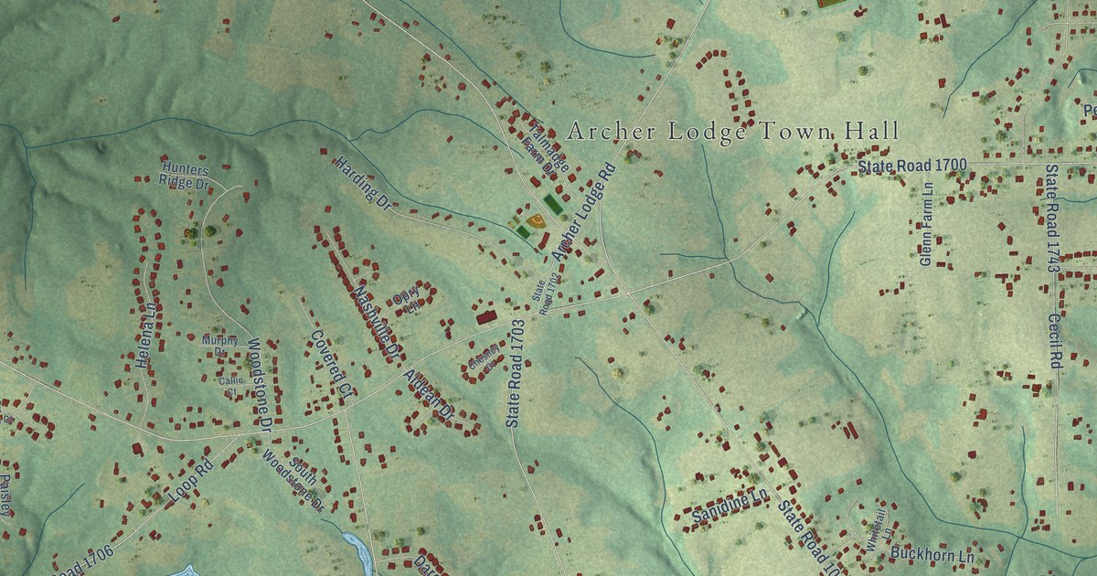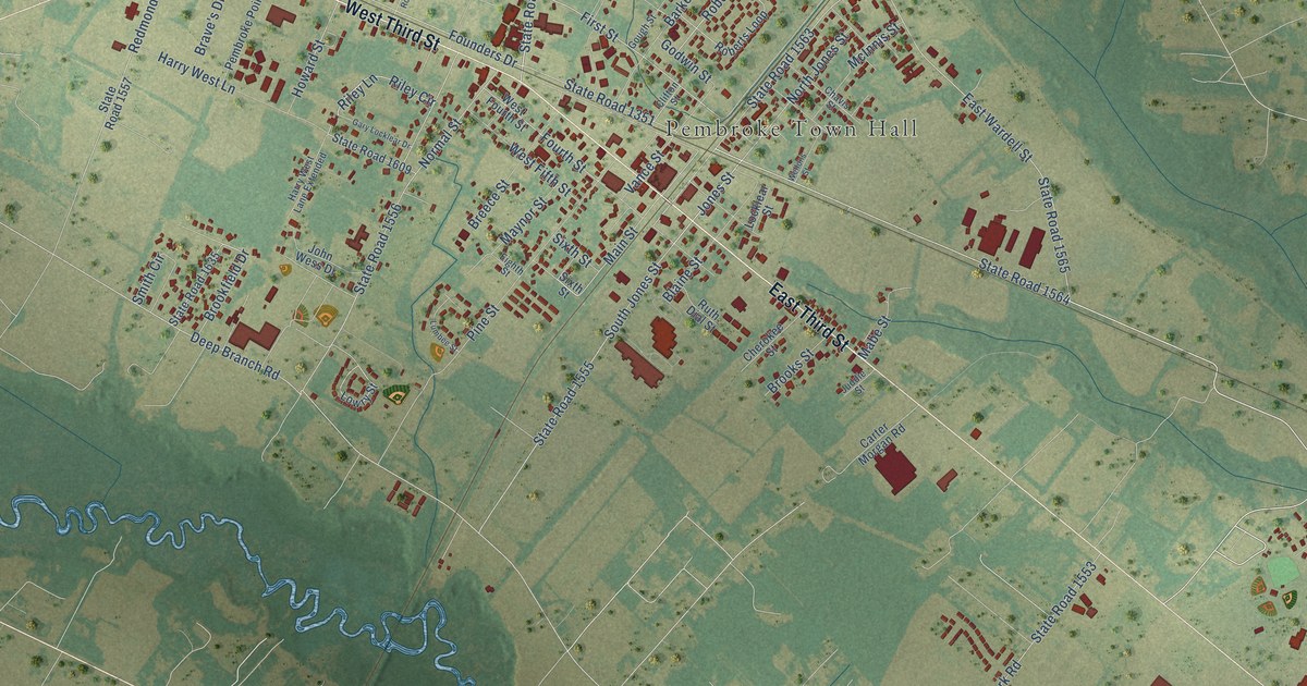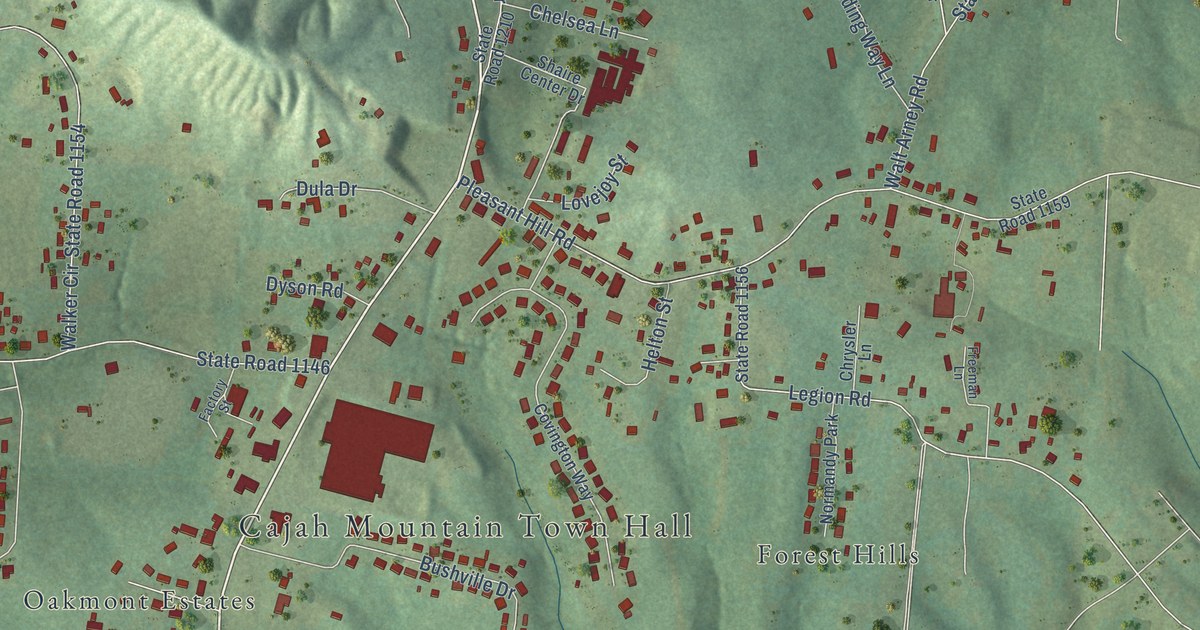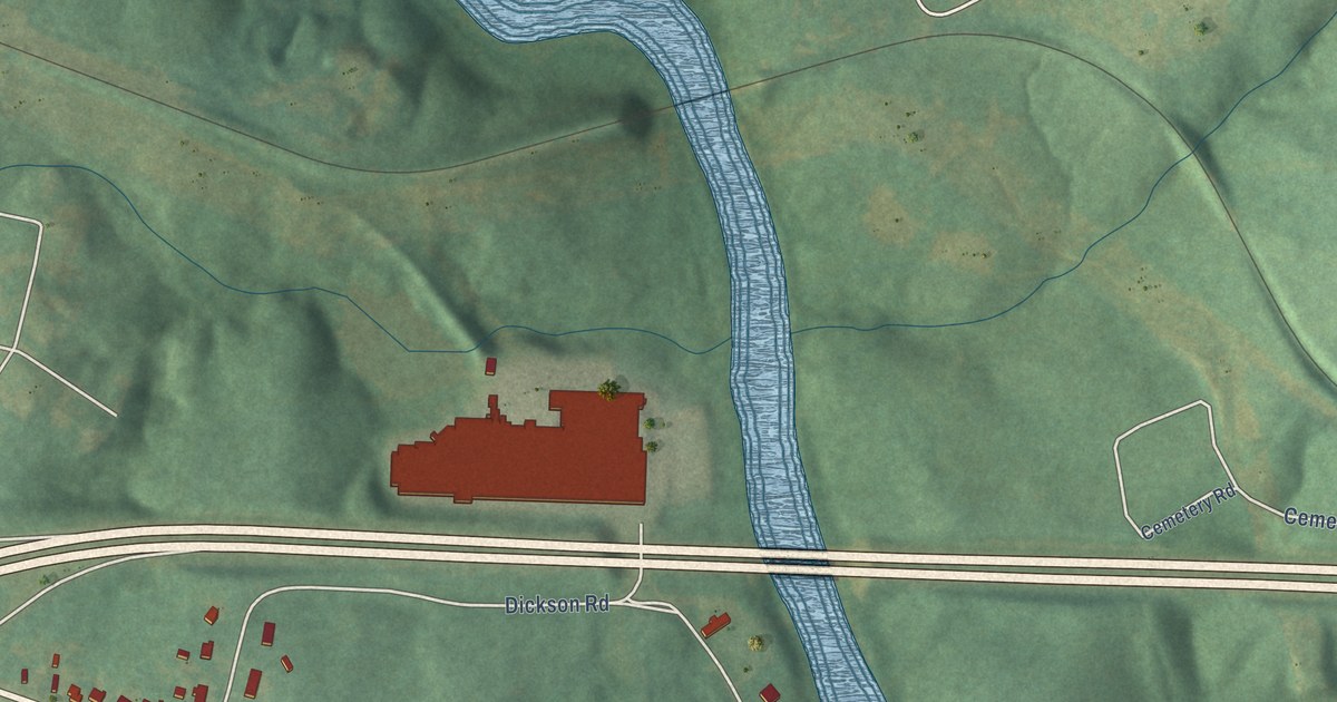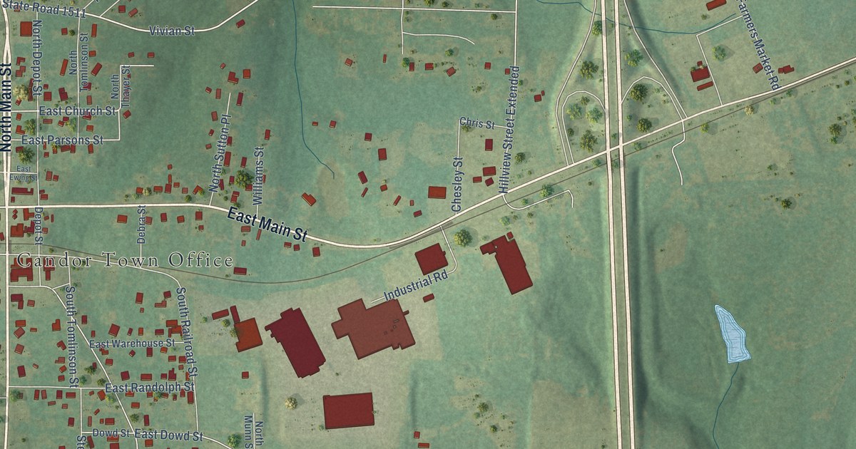
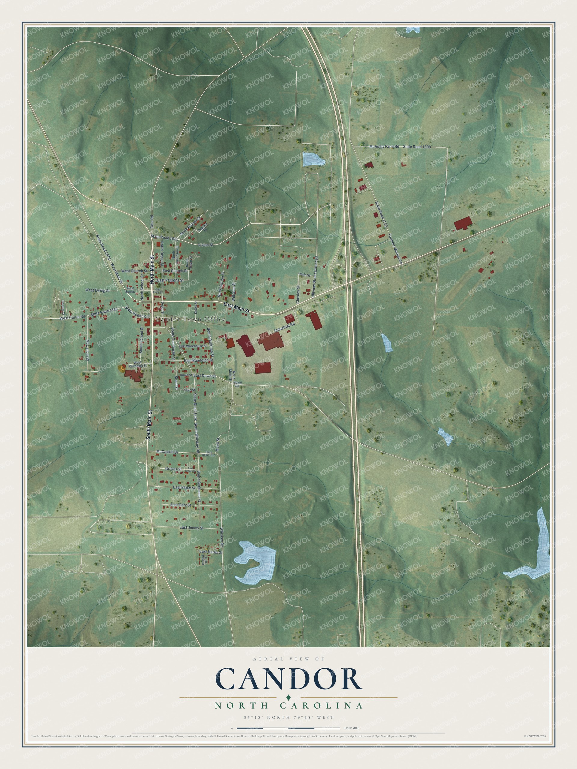
This beautifully detailed map of Candor, North Carolina was created in 2026 using aerial imagery combined with modern topographical, census, street and landmark data. It's a modern aerial view of Candor in Montgomery County, North Carolina, that combines modern data with a vintage aesthetic. The roads feature printed names, and if you look closely you can find your exact house accurately shown in its correct location.
Explore an aerial view of Candor, North Carolina
On this map you'll find Candor Town Office, North Main Street, South Main Street, East Main Street, West Main Street, State Road 1511, West Church Street, East Church Street, State Road 1517, Vivian Street, East Parsons Street, Hillview Street Extended, and more. Each red shape is a building, so zoom in on the preview and look for yours.
Every town has a first chapter, and Candor is no exception. The Town of Candor puts it this way: "The Town of Candor was incorporated in 1891 and is a community with deep roots. We are a vital part of the economy of Montgomery County, NC."
Candor is a town in Montgomery County. The Census Bureau counted 813 people here in 2020.
Take a closer look at the Candor map
Names on this map
These names are printed on this map.
Places: Candor Town Office.
Streets and roads: North Main Street, South Main Street, East Main Street, West Main Street, State Road 1511, West Church Street, East Church Street, State Road 1517, Vivian Street, East Parsons Street, Hillview Street Extended, Munn Street.
More street names, A to Z
Chesley Street, Chris Street, Cole Road, Debra Street, Depot Street, Dowd Road, Dowd Street, East Blake Street, East Dowd Street, East Ewing Street, East Gary Street, East Graves Street, East Harris Street, East Jimmy Street, East Randolph Street, East Warehouse Street, Farmers Market Road, Graves Street, Horace Court, Industrial Road, Love Street, McAuley Farm Road, McCallum Street, McCaskill Drive, North Bruton Drive, North Depot Street, North Munn Street, North School Street, North Sutton Place, North Thayer Street, North Tomlinson Street, Popular Drive, South Burkhead Street, South Clark Street, South Railroad Street, South School Street, South Tomlinson Street, South Whiskey Road, State Road 1508, State Road 1515, State Road 1518, State Road 1573, State Road 1579, State Road 1608, Steed Street, West Currie Road, West Ewing Street, West Randolph Street, West Sutton, Whiskey Road, Williams Street.
Created by KNOWOL in 2026. The buildings are small red shapes, the roads carry their printed names, and shaded relief shows the shape of the land. The title panel reads "AERIAL VIEW OF CANDOR NORTH CAROLINA" with 35°18' NORTH 79°45' WEST.
Hang it in the hallway, the office or the cabin, or give it to someone who left Candor and still calls it home. Open the preview and look for a street you know. See sizes and frames for the Candor map.