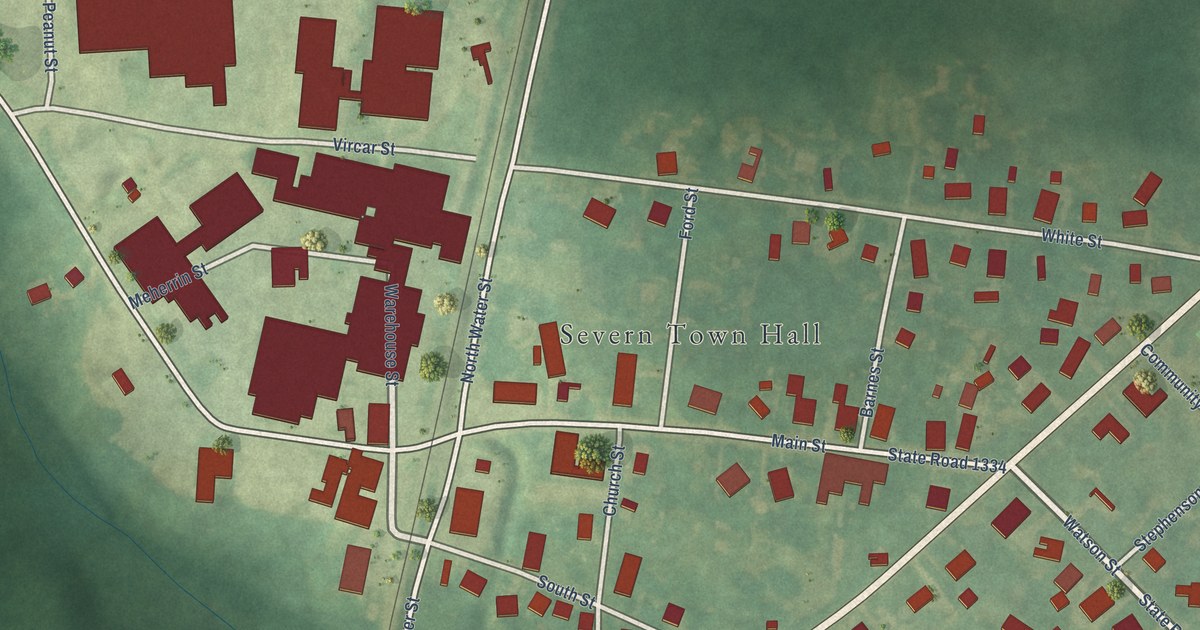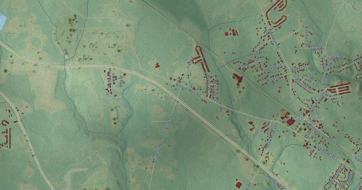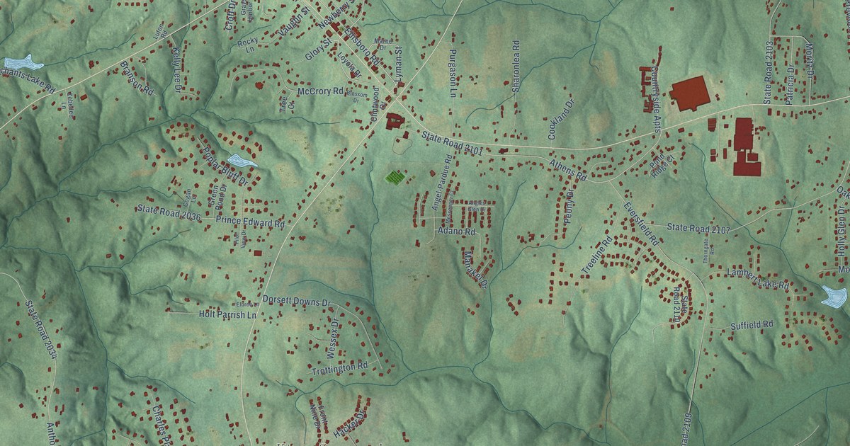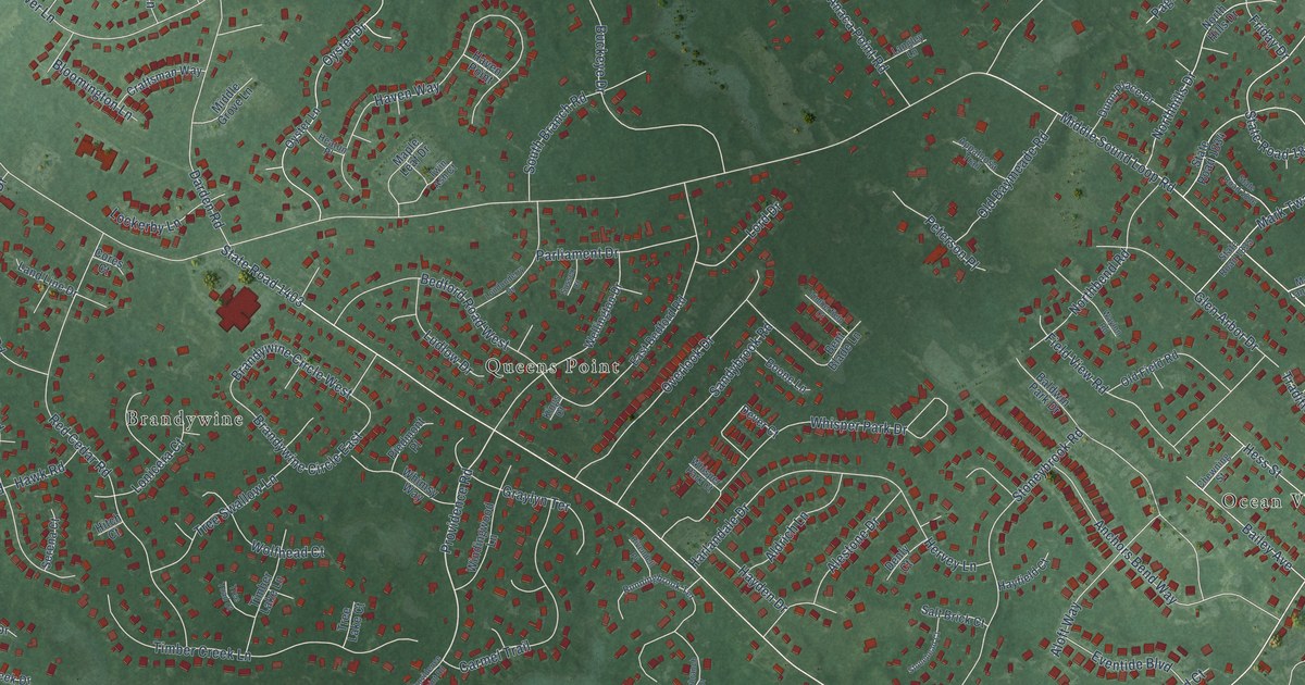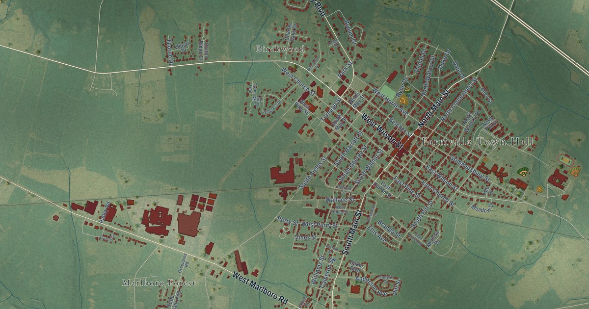
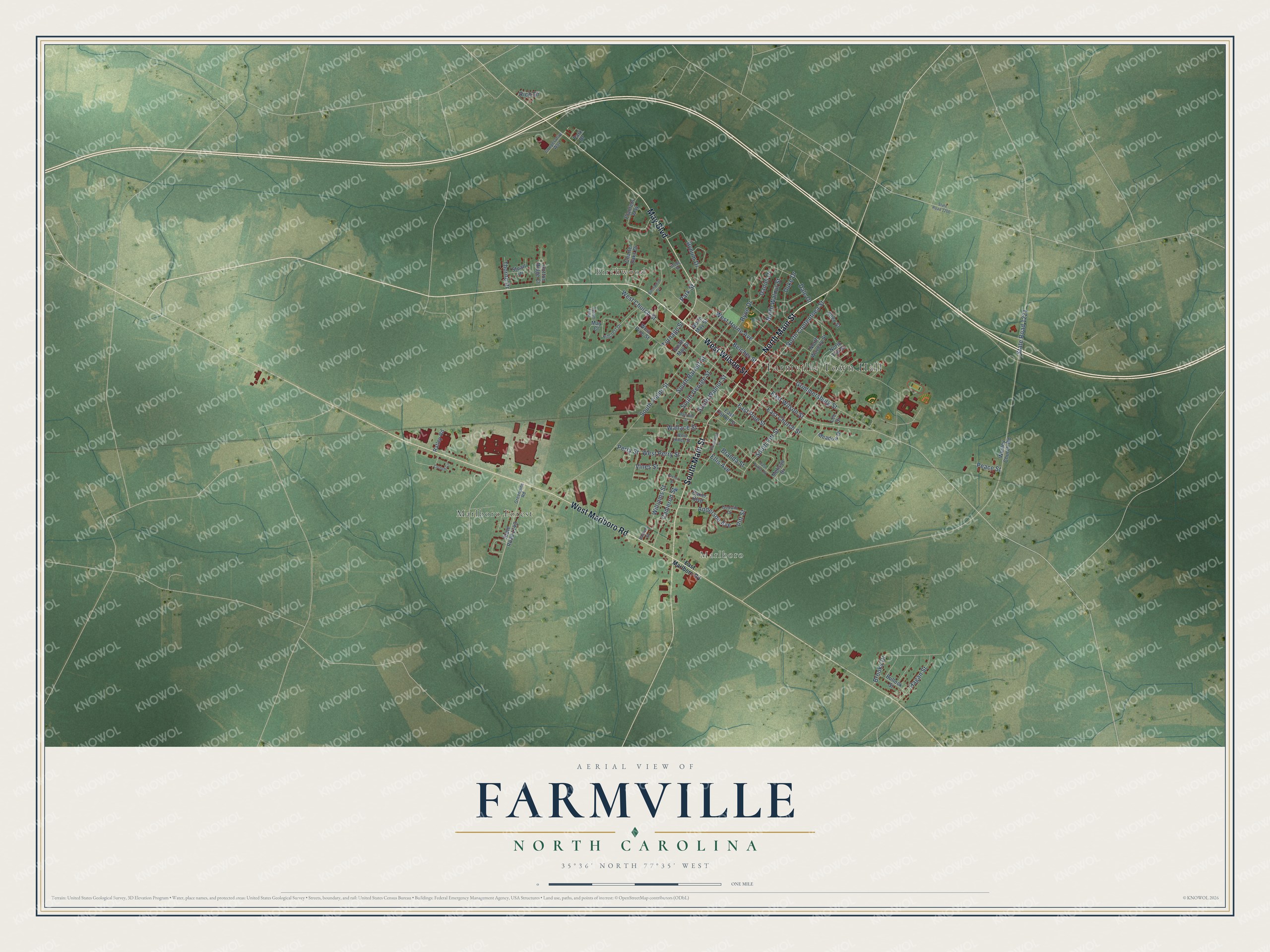
This beautifully detailed map of Farmville, North Carolina was created in 2026 using aerial imagery combined with modern topographical, census, street and landmark data. It's a modern aerial view of Farmville in Pitt County, North Carolina, that combines modern data with a vintage aesthetic. The roads feature printed names, and if you look closely you can find your exact house accurately shown in its correct location.
Explore an aerial view of Farmville, North Carolina
On this map you'll find Farmville Town Hall, Marlboro, Birchwood, Marlboro Forest, West Wilson Street, North Main Street, West Marlboro Road, South Main Street, May Boulevard, East Wilson Street, North Contentnea Street, South Pitt Street, and more. Each red shape is a building, so zoom in on the preview and look for yours.
Here is a piece of Farmville history, in the words of the record. The record at dncr.nc.gov puts it this way: "Born in Farmville in 1891, Allen Hal Turnage was a career officer in the United States Marine Corps. In 1943, at the height of World War II, he was promoted to the rank of major general and assumed command of the newly organized Third Marine Division."
Farmville is a town in Pitt County. The Census Bureau counted 4,461 people here in 2020.
Take a closer look at the Farmville map
Names on this map
These names are printed on this map.
Places: Farmville Town Hall, Marlboro, Birchwood and Marlboro Forest.
Streets and roads: West Wilson Street, North Main Street, West Marlboro Road, South Main Street, May Boulevard, East Wilson Street, North Contentnea Street, South Pitt Street, Turnage Street, South Walnut Street, South George Street, South Barrett Street.
More street names, A to Z
Allen Street, Anderson Avenue, Baker Boulevard, Baldree Street, Belcher Street, Birchwood Drive, Branda Street, Brooks Drive, Bullock Street, Bynum Drive, Cameron Street, Charter Oaks Drive, Cooperative Way, Corbett Circle, Cotton Ridge Court, Crestwood Drive, Dale Drive, Daniel Drive, Duke Drive, East Church Street, East Cotton Street, East Marlboro Road, East Pine Street, East Prince Road, Ellis Avenue, Godwin Drive, Greenpine Road, Gregg Street, Grimmersburg Street, Hagan Street, Hillcrest Drive, Horton Street, Lee Drive, May Court, Meadow Drive, Melissa Drive, North May Street, North Pitt Street, North Walnut Street, North Waverly Street, Park Drive, Park Street, Peace Street, Perry Street, Pitt Street, Planters Way, Railroad Street, Ratley Road, Rich Drive, Ryon Drive, South Fields Street, South May Street, State Road 1143, State Road 1200, State Road 1221, Stuart Drive, Thorne Drive, Tyson Trail, Vines Street, Wallace Street, Wesley Church Road, West Church Street, West Hines Street, West Horne Avenue, West Perry Street, West Pine Street, Williams Street.
Created by KNOWOL in 2026. The buildings are small red shapes, the roads carry their printed names, and shaded relief shows the shape of the land. The title panel reads "AERIAL VIEW OF FARMVILLE NORTH CAROLINA" with 35°36' NORTH 77°35' WEST.
It suits a den, a classroom or a front hall, and it makes a gift for anyone with Farmville roots. Open the preview and find the block you know. See sizes and frames for the Farmville map.