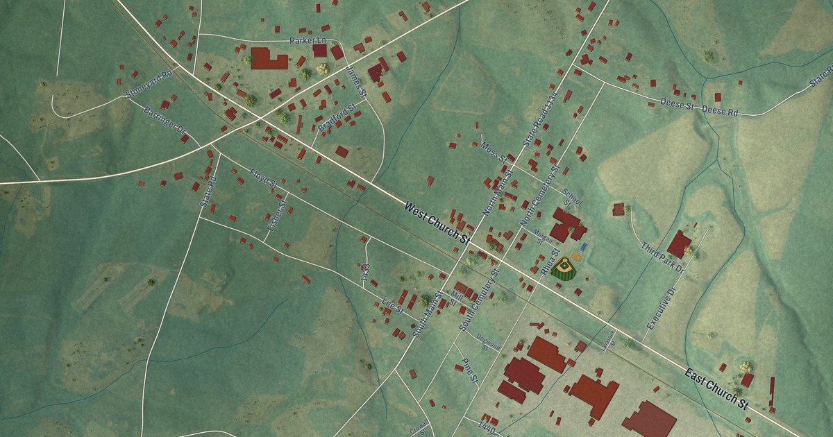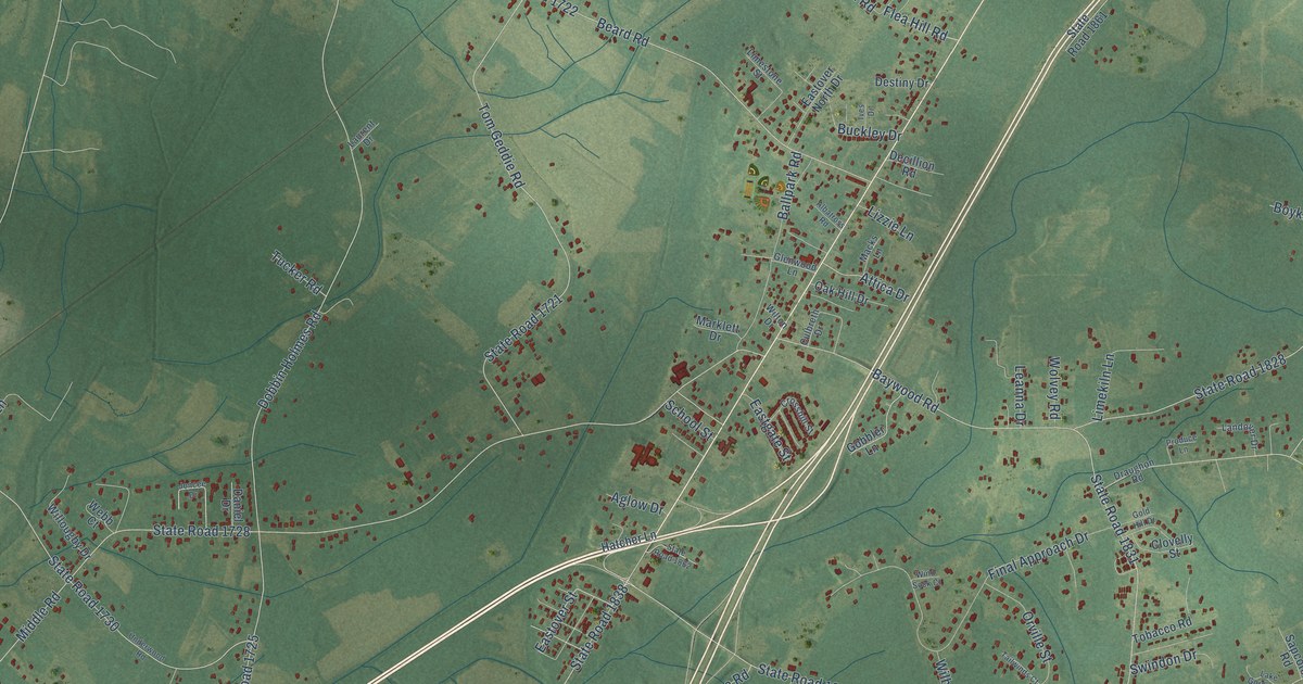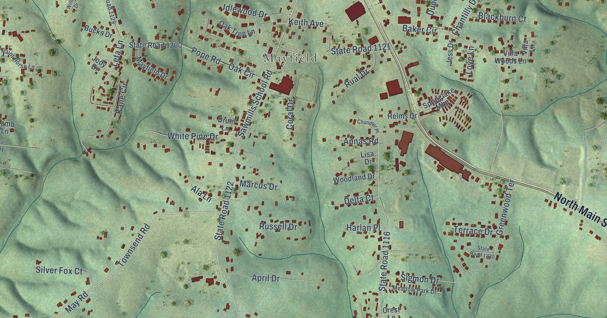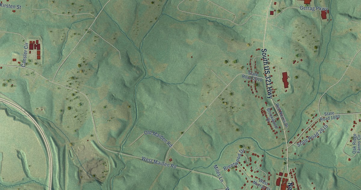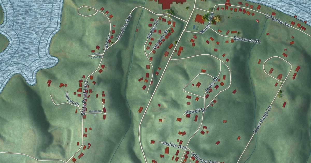
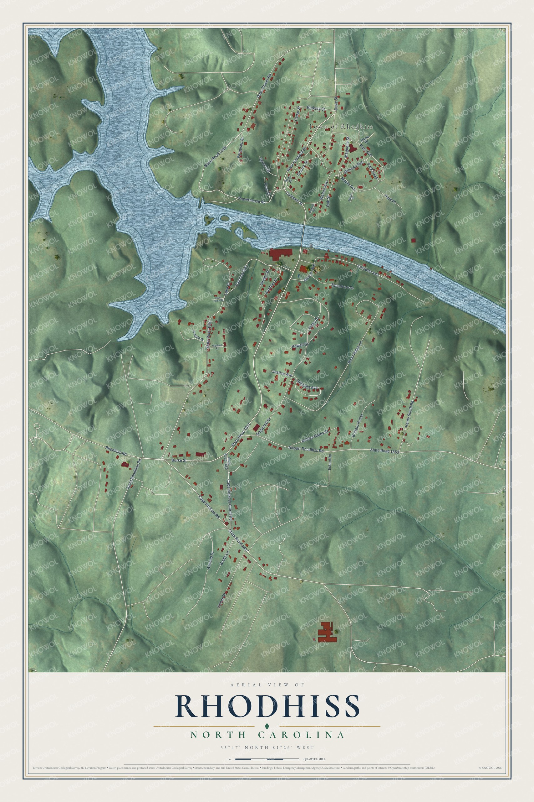
This beautifully detailed map of Rhodhiss, North Carolina was created in 2026 using aerial imagery combined with modern topographical, census, street and landmark data. It's a modern aerial view of Rhodhiss in Burke County, North Carolina, that combines modern data with a vintage aesthetic. The roads feature printed names, and if you look closely you can find your exact house accurately shown in its correct location.
Explore an aerial view of Rhodhiss, North Carolina
On this map you'll find Town of Rhodhiss, West Caldwell Drive, Duke Street, Burke Street, Caldwell Street, Cape Hickory Road, Park Loop, State Road 1611, Duke Power Road, State Road 1105, Carolina Avenue, State Road 1651, and more. Each red shape is a building, so zoom in on the preview and look for yours.
Here is a piece of Rhodhiss history, in the words of the record. The North Carolina Gazetteer puts it this way: "Named in 1902 for John Rhodes and George Hiss, who est. a cotton mill there. The town is divided by the Catawba River, and at one time the portion in Burke County was known as Cliffs."
Rhodhiss is a town in Burke County. The Census Bureau counted 997 people here in 2020.
Take a closer look at the Rhodhiss map
Names on this map
These names are printed on this map.
Places: Town of Rhodhiss.
Streets and roads: West Caldwell Drive, Duke Street, Burke Street, Caldwell Street, Cape Hickory Road, Park Loop, State Road 1611, Duke Power Road, State Road 1105, Carolina Avenue, State Road 1651, River Ridge Lane.
More street names, A to Z
Airport Rhodhiss Road, Ashe Street, Atwood Drive, Brady Lane, Brittain Hollar, Cape Hickory Cutoff Road, Catawba Avenue, Cedar Street, Church Street, Davie Drive, Dogwood Drive, Eckard Road, Ferguson Street, Gardner Street, Henry Smith Road, Hickory Street, Highland Place, Hillcrest Avenue, Howell Street, Icard Rhodhiss Road, James Drive, Jenjalo Drive, Jones Drive, Justice Avenue, Lake Drive, Magnolia Street, Magnolia Way, Maple Avenue, Maple Street, Marion Avenue, Mimosa Avenue, Nelson Gates Street, Oak Street, Park Avenue, Park Place, Pine Street, Powerhouse Road, Rhodhiss Road, Scout Cabin Road, Shelby Street, Spruce Street, State Road 1647, State Road 1650, State Road 1653, Sycamore Drive, Walnut Avenue.
Created by KNOWOL in 2026. The buildings are small red shapes, the roads carry their printed names, and shaded relief shows the shape of the land. The title panel reads "AERIAL VIEW OF RHODHISS NORTH CAROLINA" with 35°47' NORTH 81°26' WEST.
It suits a den, a classroom or a front hall, and it makes a gift for anyone with Rhodhiss roots. Open the preview and find the block you know. See sizes and frames for the Rhodhiss map.