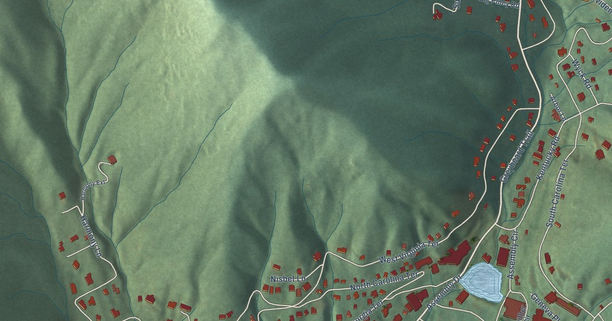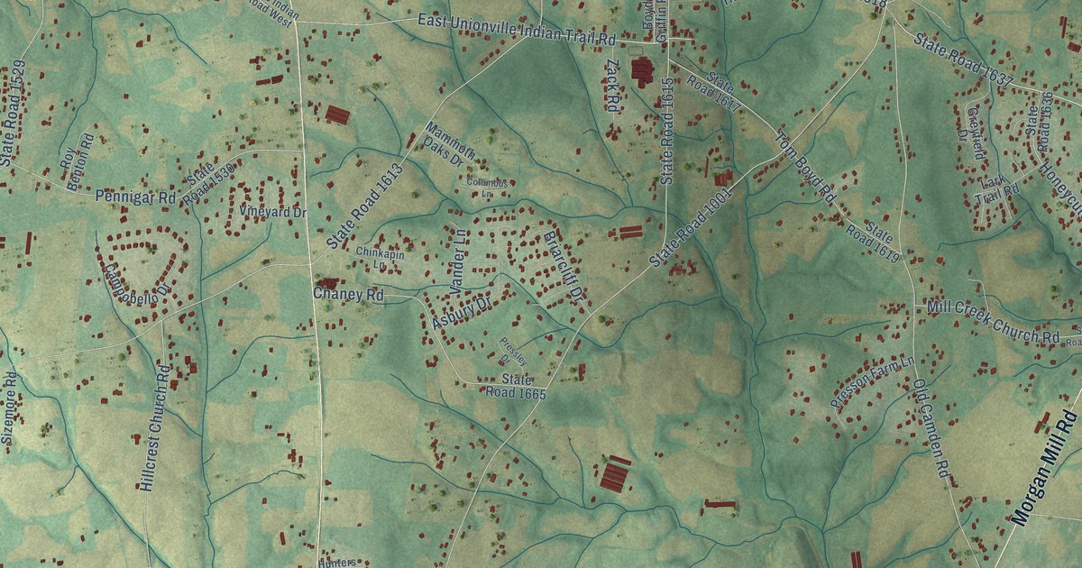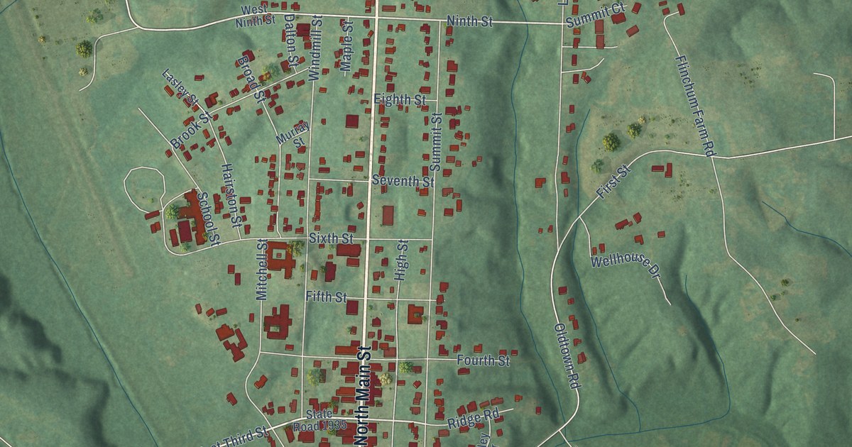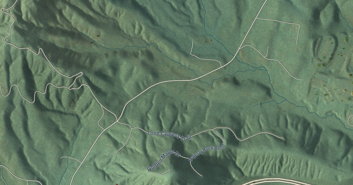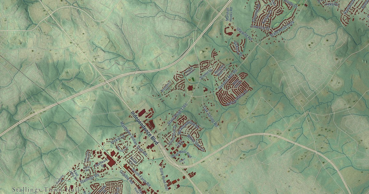
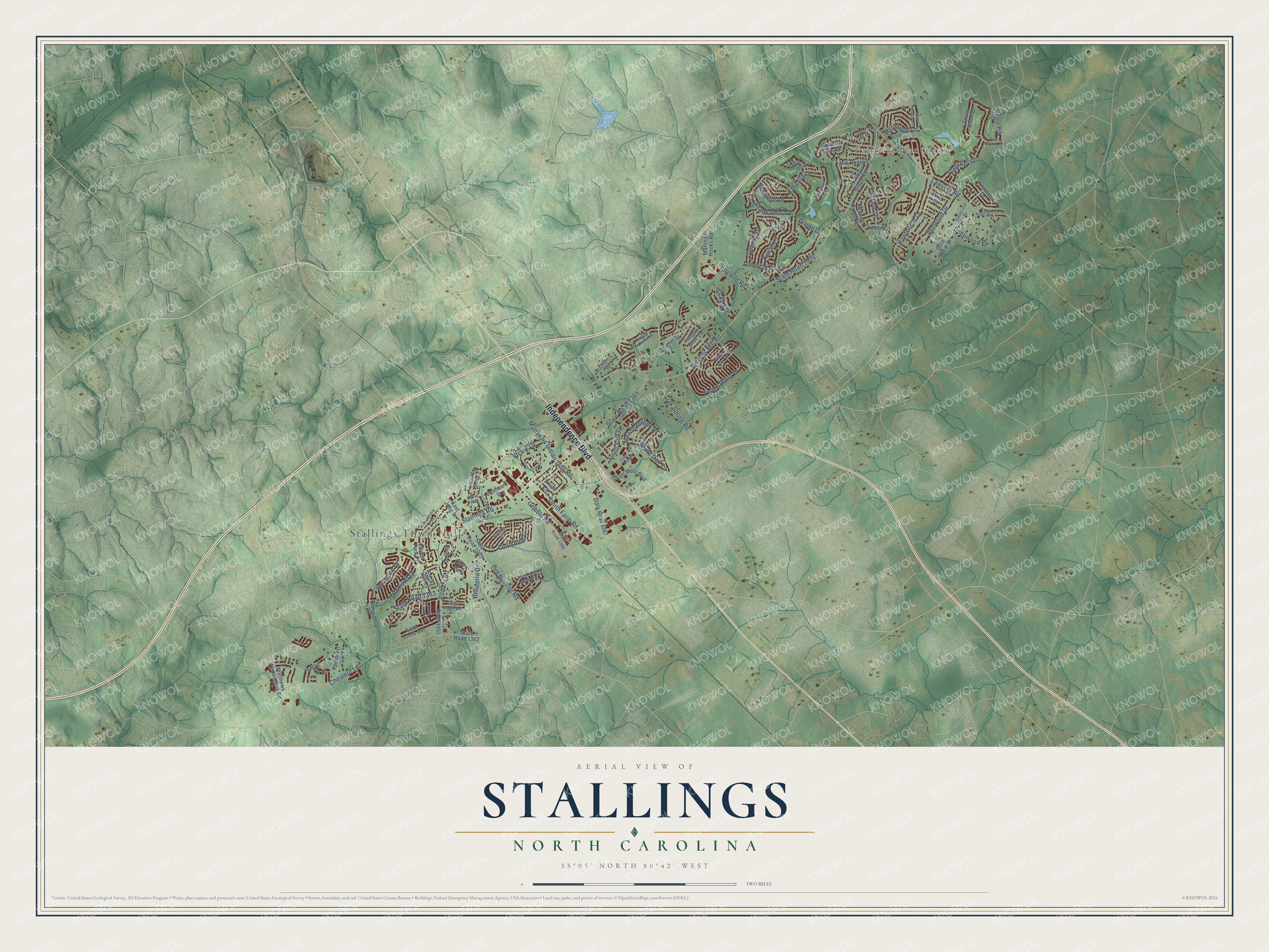
This beautifully detailed map of Stallings, North Carolina was created in 2026 using aerial imagery combined with modern topographical, census, street and landmark data. It's a modern aerial view of Stallings in Union County, North Carolina, that combines modern data with a vintage aesthetic. The roads feature printed names, and if you look closely you can find your exact house accurately shown in its correct location.
Explore an aerial view of Stallings, North Carolina
On this map you'll find Stallings Town Hall, Fairfield Plantation, Independence Boulevard, Stallings Road, State Road 1365, Stevens Mill Road, State Road 1524, Shannamara Drive, Lawyers Road, Matthews Indian Trail Road, Old Monroe Road, Smith Farm Road, and more. Each red shape is a building, so zoom in on the preview and look for yours.
Every town has a first chapter, and Stallings is no exception. The Town of Stallings puts it this way: "Matthew Thomas Stallings was born in Cabarrus County on January 10, 1867. He was a prominent farmer and merchant near Harrisburg and served six years as a Magistrate, according to a biographical sketch printed in the Historical Section of The Monroe Enquirer on February 1, 1912."
Stallings is a town in Union County. The Census Bureau counted 16,112 people here in 2020.
Take a closer look at the Stallings map
Names on this map
These names are printed on this map.
Places: Stallings Town Hall and Fairfield Plantation.
Streets and roads: Independence Boulevard, Stallings Road, State Road 1365, Stevens Mill Road, State Road 1524, Shannamara Drive, Lawyers Road, Matthews Indian Trail Road, Old Monroe Road, Smith Farm Road, Potters Road, Chestnut Lane.
More street names, A to Z
Abergele Lane, April Lane, Aringill Lane, Azteca Drive, Barnard Castle Lane, Bent Oak Drive, Birch Court, Blackberry Lane, Blue Iris Drive, Carls Road, Cedar Point Avenue, Clifden Drive, Clonmel Drive, Coatsdale Lane, Community Park Drive, Cupped Oak Drive, Curry Way, Deepwood Place, Divide Drive, East John Street, Fairfield Drive, Fairforest Drive, Flagstick Drive, Forest Park Drive, Four Wood Drive, Friendship Drive, Glamorgan Lane, Gold Crest Drive, Goldcrest Drive, Greenbriar Drive, Gribble Road, Hammond Drive, Hawthorne Drive, Houston Blair Lane, Hunley Ridge Road, Idlewild Road, Kidwelly Lane, Killian Court, Lake Drive, Leicester Drive, Limerick Drive, Marshall Hooks Road, Matthews Weddington Road, Meadowbrook Drive, Mill House Lane, Mill Race Lane, Millwright Lane, Morningside Meadow Lane, Oak Spring Road, Privett Park Place, Redwood Drive, Rhoderia Drive, Saint Johns Avenue, Sarandon Drive, Scarlet Drive, Seaboard Drive, Shadow Lake Lane, Sherin Lane, Slate Ridge Road, Smith Circle, Spring Hill Road, State Road 1004, State Road 1009, State Road 1357, State Road 1362, State Road 1363, State Road 1367, State Road 1368, Stoney Ridge Road, Suttle Place, Tenby Lane, Three Wood Drive, Union Road, Union West Boulevard, Vickery Drive, Vickie Lane, White Oak Lane, Yarrow Street, Yellow Daisy Drive.
Created by KNOWOL in 2026. The buildings are small red shapes, the roads carry their printed names, and shaded relief shows the shape of the land. The title panel reads "AERIAL VIEW OF STALLINGS NORTH CAROLINA" with 35°05' NORTH 80°42' WEST.
Hang it in the hallway, the office or the cabin, or give it to someone who left Stallings and still calls it home. Open the preview and look for a street you know. See sizes and frames for the Stallings map.