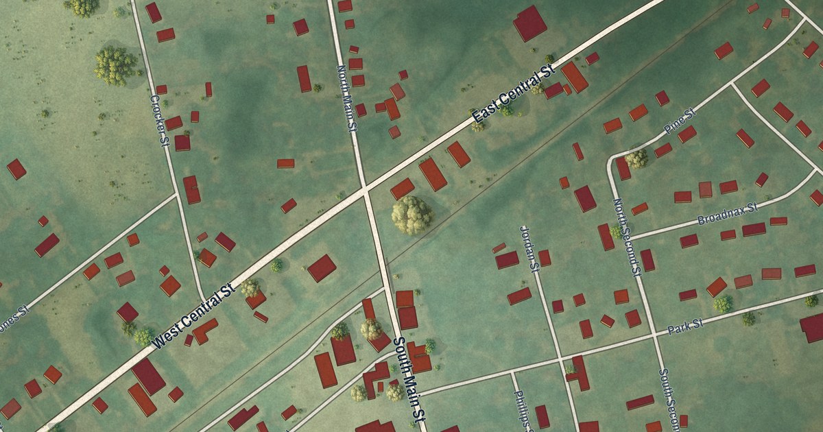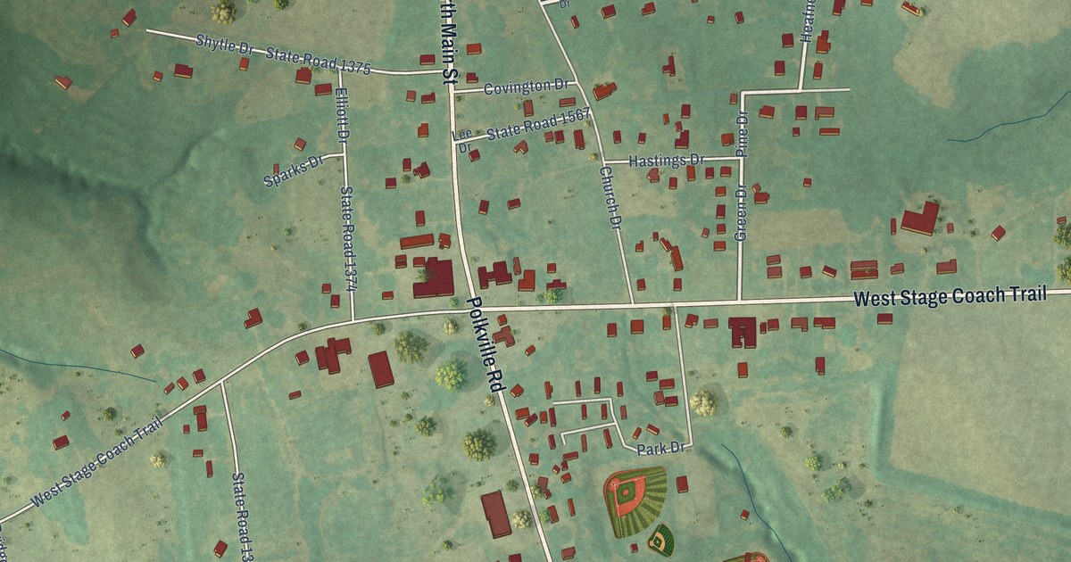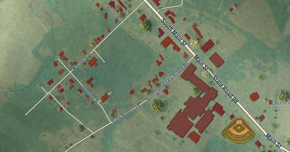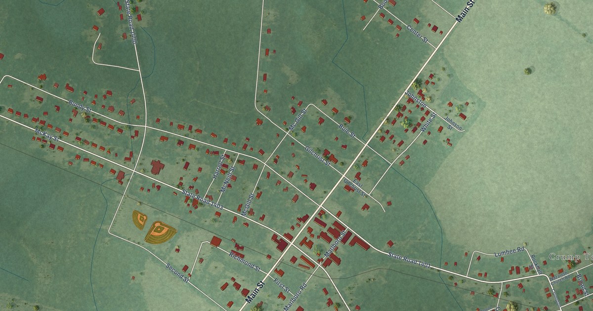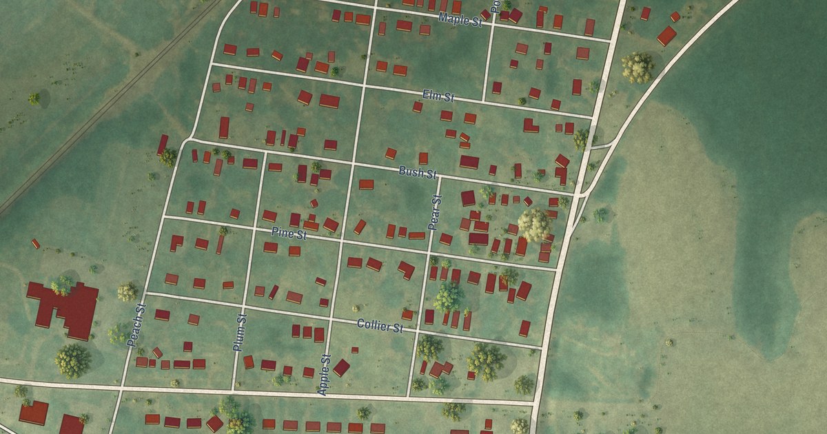
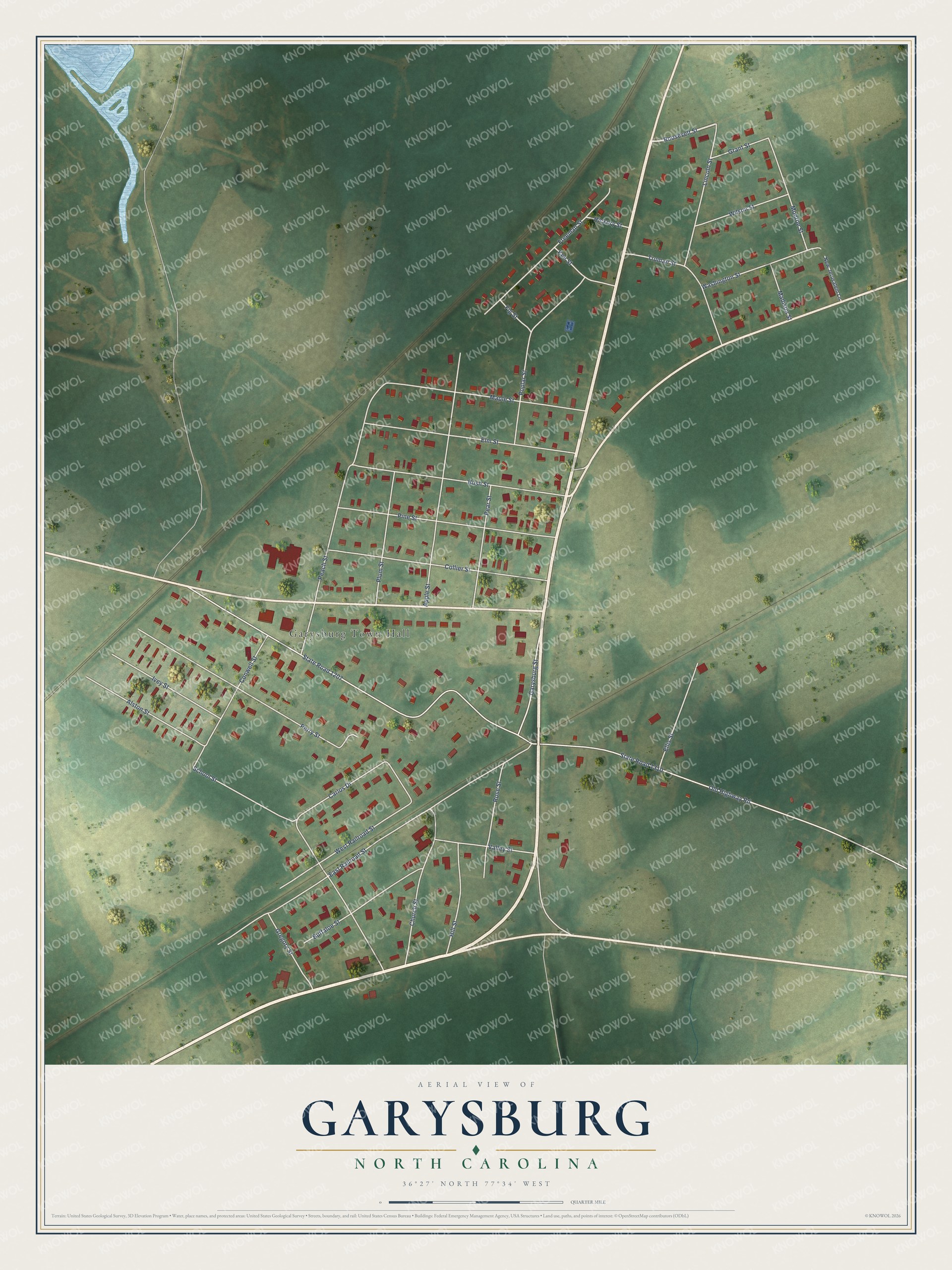
This beautifully detailed map of Garysburg, North Carolina was created in 2026 using aerial imagery combined with modern topographical, census, street and landmark data. It's a modern aerial view of Garysburg in Northampton County, North Carolina, that combines modern data with a vintage aesthetic. The roads feature printed names, and if you look closely you can find your exact house accurately shown in its correct location.
Explore an aerial view of Garysburg, North Carolina
On this map you'll find Garysburg Town Hall, Roosevelt Street, Garysburg Street, Old Highway Road, State Road 1207, East Railroad Street, State Road 1310, School Street, Peach Street, Perry Street, Apple Street, Collier Street, and more. Each red shape is a building, so zoom in on the preview and look for yours.
Garysburg has a story worth telling. The North Carolina Gazetteer puts it this way: "Garysburg town in W Northampton County. Inc. 1891. Known as Garys in 1833 but changed to Garysburg after the post office there received the name in 1838. Alt. 145. Peebles Tavern and Blakely's Depot were nearby communities in the early nineteenth century, but they were supplanted by Garysburg. Strategically important during Civil War as convergence of two railroads. Site of Camp Beauregard, which see."
Garysburg is a town in Northampton County. The Census Bureau counted 904 people here in 2020.
Take a closer look at the Garysburg map
Names on this map
These names are printed on this map.
Places: Garysburg Town Hall.
Streets and roads: Roosevelt Street, Garysburg Street, Old Highway Road, State Road 1207, East Railroad Street, State Road 1310, School Street, Peach Street, Perry Street, Apple Street, Collier Street, Pine Street.
More street names, A to Z
Alston Street, Buffaloe Street, Bush Street, Carlos Drive, Church Street, Conwell Street, Ellis Street, Elm Street, Fig Street, Freeman Street, Grant Street, Gregory Street, Hickory Street, Hill Street, Ivey Street, Kee Street, Lincoln Street, Madison Street, Maple Street, Monroe Street, New Jerusalem Lane, Pear Street, Plum Street, Poplar Street, Rose Street, Truman Street, Valley Street, Washington Street, West Railroad Street, Wilson Street.
Created by KNOWOL in 2026. The buildings are small red shapes, the roads carry their printed names, and shaded relief shows the shape of the land. The title panel reads "AERIAL VIEW OF GARYSBURG NORTH CAROLINA" with 36°27' NORTH 77°34' WEST.
It looks right in a kitchen, an office or a den, and it's a gift for anyone who grew up in Garysburg or moved away. Open the preview and find your street. See sizes and frames for the Garysburg map.