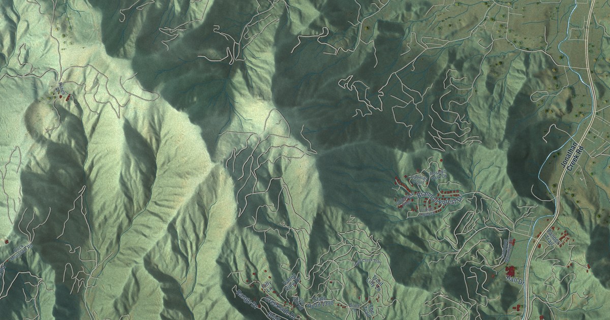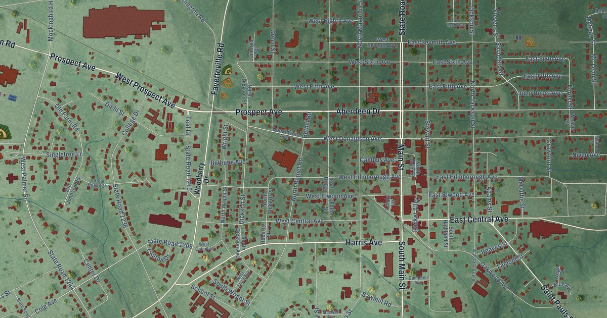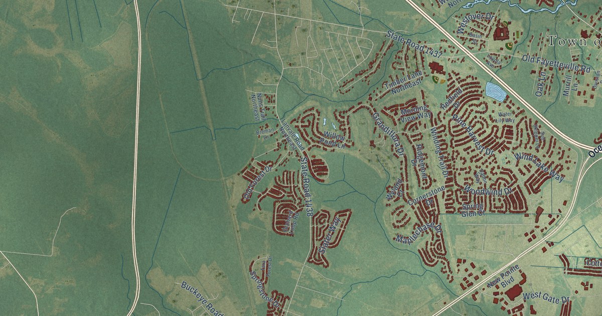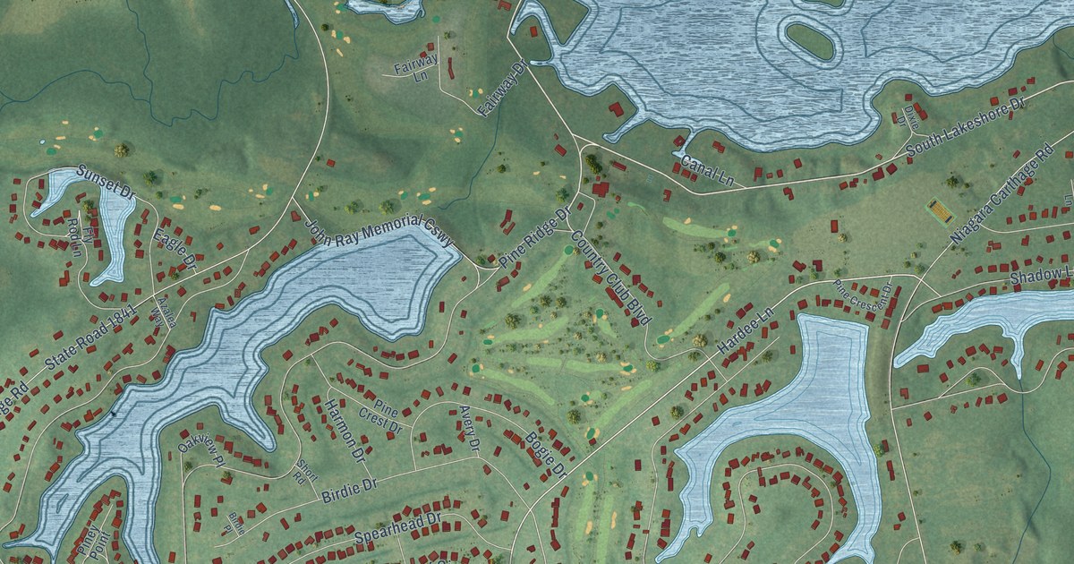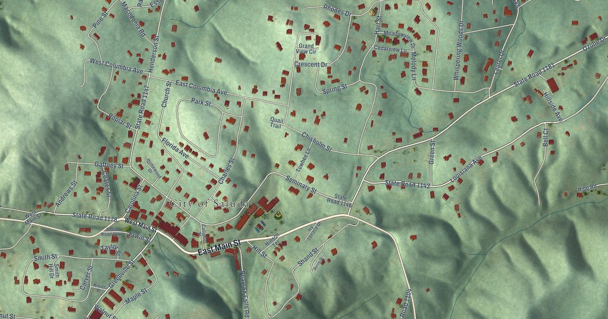
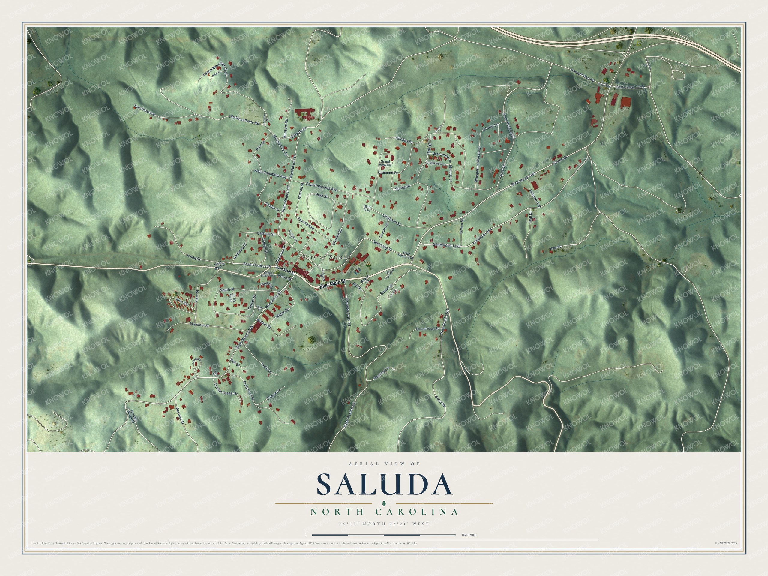
This beautifully detailed map of Saluda, North Carolina was created in 2026 using aerial imagery combined with modern topographical, census, street and landmark data. It's a modern aerial view of Saluda in Polk County, North Carolina, that combines modern data with a vintage aesthetic. The roads feature printed names, and if you look closely you can find your exact house accurately shown in its correct location.
Explore an aerial view of Saluda, North Carolina
On this map you'll find City of Saluda, East Main Street, State Road 1181, State Road 1178, Louisiana Avenue, State Road 1142, State Road 1147, Greenville Street, State Road 1105, Old Macedonia Road, Ozone Drive, Pearson Falls Road, and more. Each red shape is a building, so zoom in on the preview and look for yours.
Every town has a first chapter, and Saluda is no exception. The record at dncr.nc.gov puts it this way: "At Saluda in Polk County, workers on the railroad met the challenge straight on."
Saluda is a city in Polk County. The Census Bureau counted 631 people here in 2020.
Take a closer look at the Saluda map
Names on this map
These names are printed on this map.
Places: City of Saluda.
Streets and roads: East Main Street, State Road 1181, State Road 1178, Louisiana Avenue, State Road 1142, State Road 1147, Greenville Street, State Road 1105, Old Macedonia Road, Ozone Drive, Pearson Falls Road, State Road 1102.
More street names, A to Z
Alex Circle, Andrews Street, Bell Court, Burns Drive, Burrell Pace Road, Carolina Street, Carver Street, Cedarview Lane, Cemetery Street, Charles Street, Chestnut Street, Chisholm Street, Church Street, Coates Street, Crescent Drive, Cullipher Street, East Columbia Avenue, Erwin Street, Esseola Street, Firefly Lane, Florida Avenue, Friendly Circle, Friendship Road, Frost Road, Gaffney Street, Grand View Circle, Green Street, Hall Street, Hart Street, Hayes Drive, Henderson Street, Hillside Avenue, Hill Street, Hinson Terrace, Hipp Road, Homewood Drive, Howard Gap Road, Irving Street, Ivy Terrace Drive, Kilver Street, Laurel Drive, Laurel Mountain Trail, Lulie Lane, Macedonia Road, Maple Street, Meadowview Drive, Melody Lane, Memory Lane, Pace Street, Pacolet Street, Park Street, Patterson Street, Pine Street, Poplar Street, Quail Trail, Ransom Road, Rhodes Drive, Ridge Drive, Salisbury Avenue, Seminary Street, Shand Street, Sitar Lane, Smith Hill Drive, Smith Street, Spring Street, State Road 1006, State Road 1104, State Road 1122, State Road 1145, State Road 1146, State Road 1177, Summers Drive, Taylor Street, Thunder Ridge Road, Towhee Lane, Trickle Creek Drive, Walnut Street, West Columbia Avenue, West Main Street, Whispering Woods Drive.
Created by KNOWOL in 2026. The buildings are small red shapes, the roads carry their printed names, and shaded relief shows the shape of the land. The title panel reads "AERIAL VIEW OF SALUDA NORTH CAROLINA" with 35°14' NORTH 82°21' WEST.
Hang it in the hallway, the office or the cabin, or give it to someone who left Saluda and still calls it home. Open the preview and look for a street you know. See sizes and frames for the Saluda map.