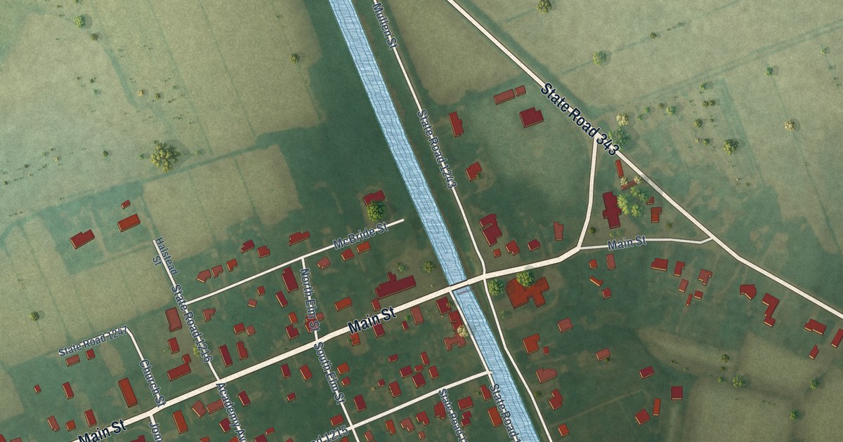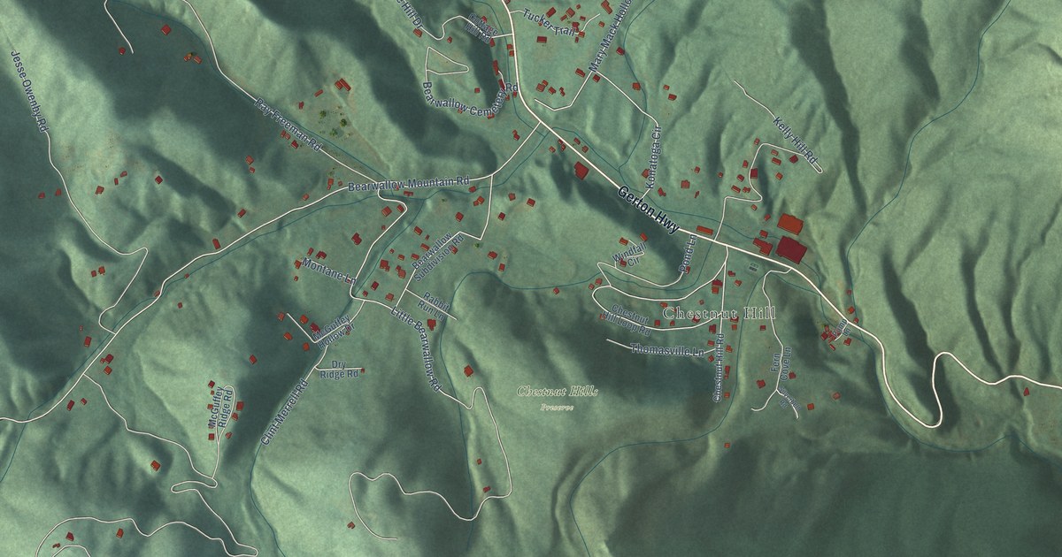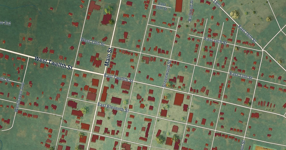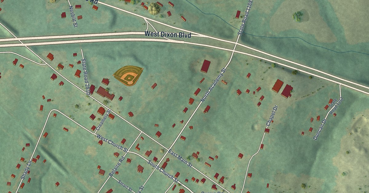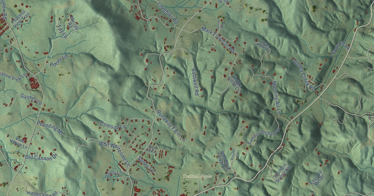
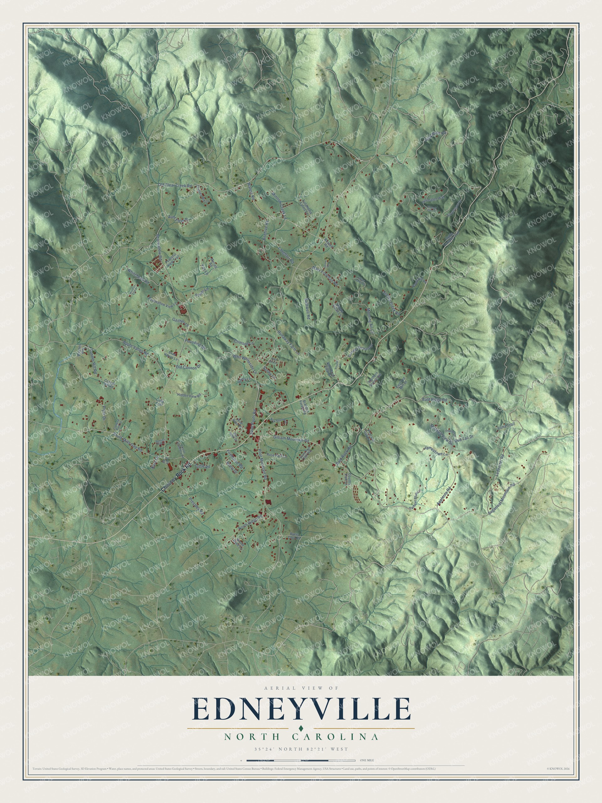
This beautifully detailed map of Edneyville, North Carolina was created in 2026 using aerial imagery combined with modern topographical, census, street and landmark data. It's a modern aerial view of Edneyville in Henderson County, North Carolina, that combines modern data with a vintage aesthetic. The roads feature printed names, and if you look closely you can find your exact house accurately shown in its correct location.
Explore an aerial view of Edneyville, North Carolina
On this map you'll find Twisted Apple, Chimney Rock Road, Saint Pauls Road, Gilliam Mountain Road, Waters Road, Laughter Road, Bearwallow Road, Old Clear Creek Road, Slick Rock Road, Bald Rock Road, Pilot Mountain Road, Sugarloaf Mountain Road, and more. Each red shape is a building, so zoom in on the preview and look for yours.
Every town has a first chapter, and Edneyville is no exception. Edneyville took its name from the brothers Asa and Samuel Edney, who came from eastern Carolina. Samuel was one of the very first Methodist preachers in these mountains. He rode far and wide with a Bible and hymnbook in his saddlebags, and the first camp meeting west of the Blue Ridge is said to have been held on his land here. He was a justice of the peace for forty years, and he served twelve years as the first postmaster at Edneyville. That's from the 1947 Story of Henderson County.
Edneyville is a community in Henderson County. The Census Bureau counted 2,395 people here in 2020.
Take a closer look at the Edneyville map
Names on this map
These names are printed on this map.
Places: Twisted Apple.
Streets and roads: Chimney Rock Road, Saint Pauls Road, Gilliam Mountain Road, Waters Road, Laughter Road, Bearwallow Road, Old Clear Creek Road, Slick Rock Road, Bald Rock Road, Pilot Mountain Road, Sugarloaf Mountain Road, South Mills Gap Road.
More street names, A to Z
Aarons Way, Apple Dumplin Trail, Appleola Road, Apple Valley Road, Aunt Ettas Place, Bald Ridge Road, Bald Rock View Drive, Bearwallow View Lane, Beehive Road, Bothwell Road, Brad Harjus Lane, Brandon Forest Road, Byers Cove Road, Chelsea Nix Lane, Cody Trail, Conner Hill Road, Connor Hill Road, Coston Cemetery Road, Country View Lane, Crimson Lane, Crooked Path Lane, Dainty Lane, East Old Mill Drive, Emerald Cove Court, Falling Leaves Lane, Fay Lane, Firehouse Road, Gaither Lane, Hamp Hill Road, Hidden View Road, Hobby Horse Lane, Jamestown Lane, Karo Drive, Ledbetter Road, Luna Trail, Mark Freeman Road, May Apple Drive, Merrell Road, Minnow Creek Lane, Mitchell View Drive, Morning Air Lane, Neely Drive, New Smythe Drive, Nicole Rene Lane, North Ridge Road, Old Cannon Drive, Osprey Lane, Peaceful View Trail, Pearson Dalton Lane, Petal Drop Lane, Poly Drive, Potter Lane, Pounding Ml, Pressley Road, Prophet Lane, Pryor Drive, Red Tail Drive, Rose Park Lane, Runaway Farm Lane, Russell Road, Silverglen Way, Silverstone Drive, Southern Scenic Heights, Stoney Creek Road, Summer Orchard Drive, Sunny Lane, Sunrise Hill Lane, Sweet Briar Path Way, Tarheel Blue Lane, Tullahoma Farms Lane, Tuttle Road, Waynes Way, Whitehead Road, Whit Whiteside Lane, Wild Rose Drive, Woodlyn Etch Drive.
See it on a wall
The Edneyville map as a framed print. Swipe for more.


Created by KNOWOL in 2026. The buildings are small red shapes, the roads carry their printed names, and shaded relief shows the shape of the land. The title panel reads "AERIAL VIEW OF EDNEYVILLE, NORTH CAROLINA" with 35°24' NORTH 82°21' WEST.
Hang it in the hallway, the office or the cabin, or give it to someone who left Edneyville and still calls it home. Open the preview and look for a street you know. See sizes and frames for the Edneyville map.