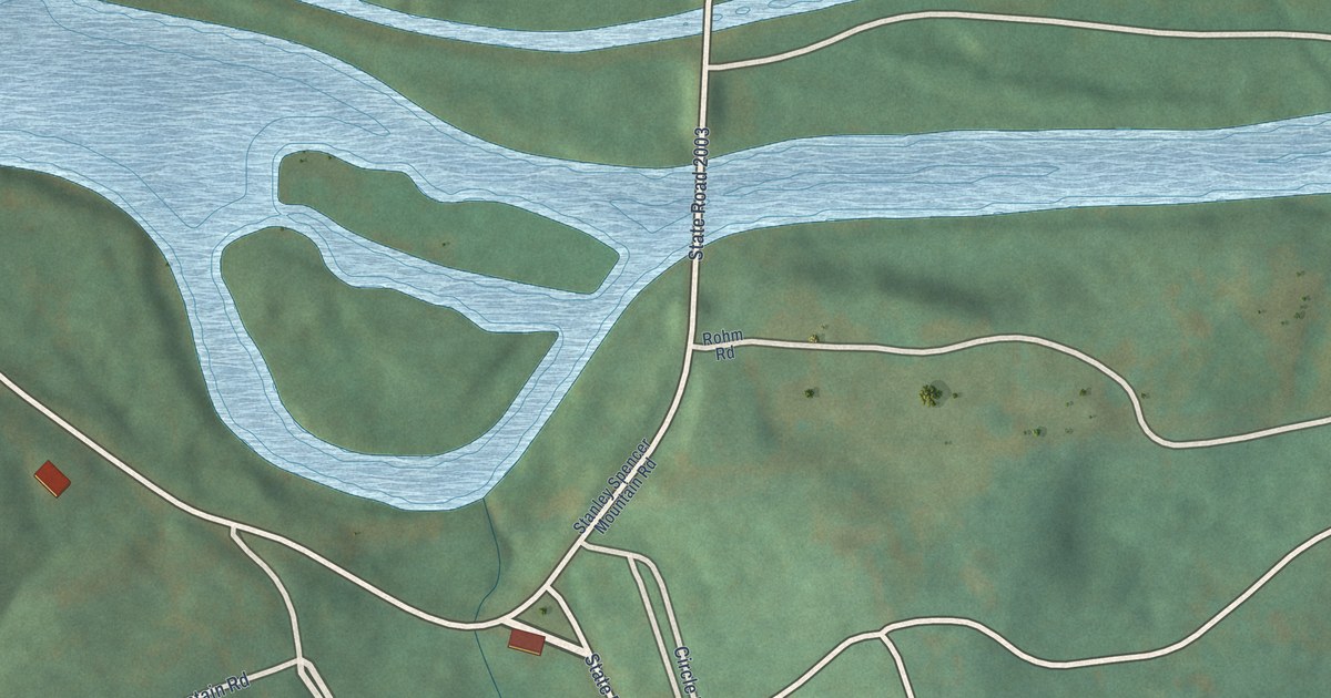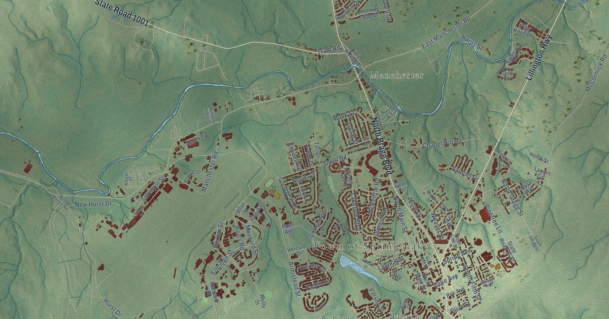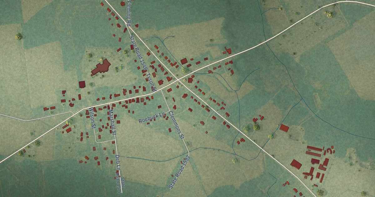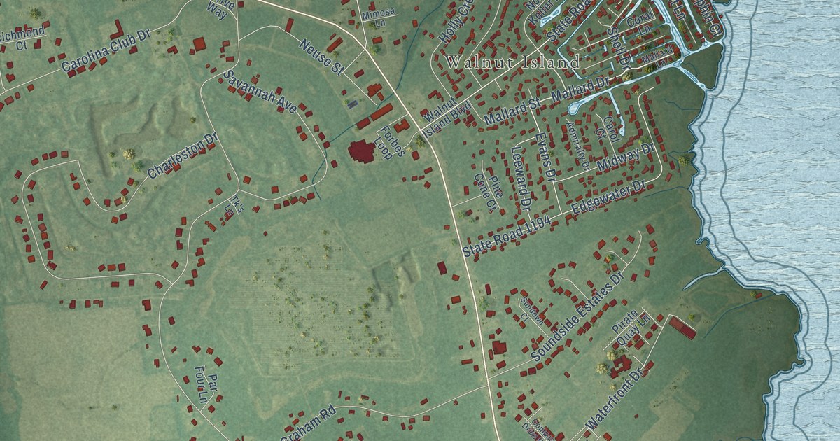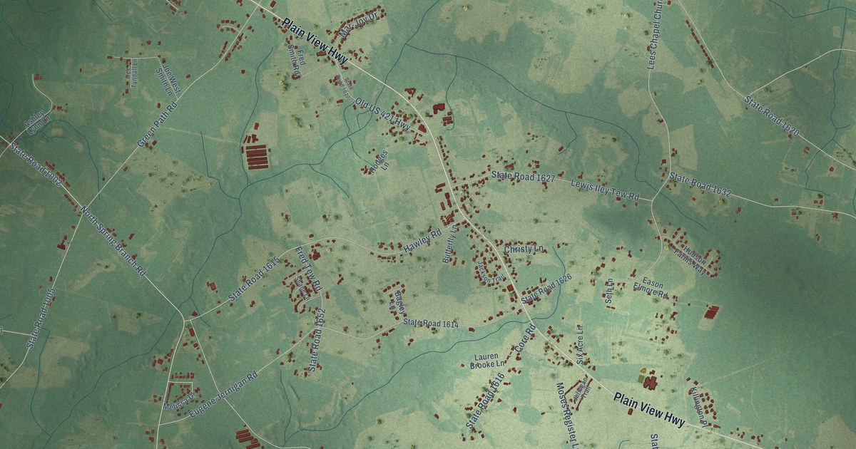
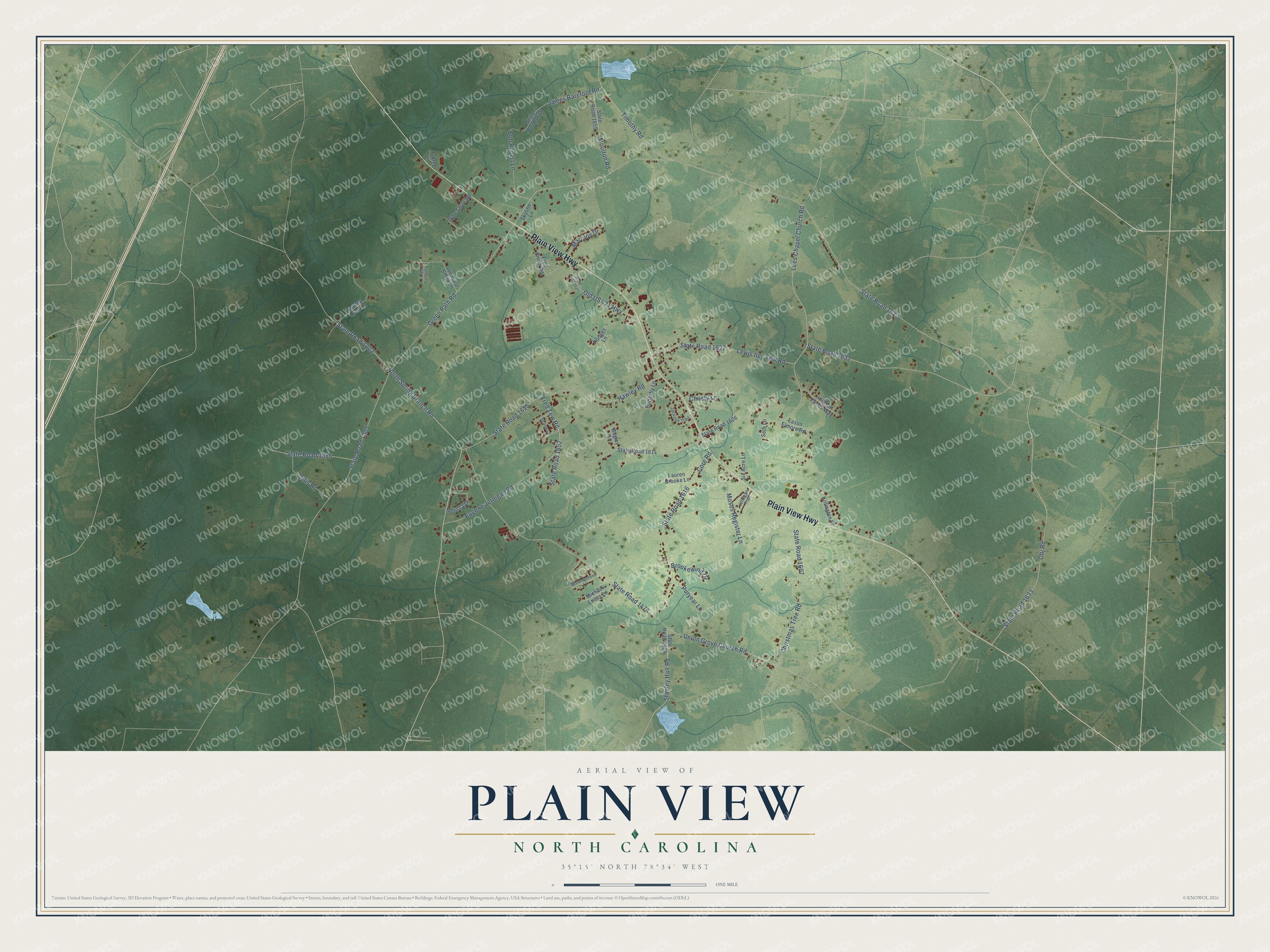
This beautifully detailed map of Plain View, North Carolina was created in 2026 using aerial imagery combined with modern topographical, census, street and landmark data. It's a modern aerial view of Plain View in Sampson County, North Carolina, that combines modern data with a vintage aesthetic. The roads feature printed names, and if you look closely you can find your exact house accurately shown in its correct location.
Explore an aerial view of Plain View, North Carolina
On this map you'll find Plain View Highway, North Spring Branch Road, State Road 1002, Green Path Road, State Road 1005, State Road 1620, Timothy Road, State Road 1476, Union Grove Church Road, Lees Chapel Church Road, Eugene Jernigan Road, Obj Road, and more. Each red shape is a building, so zoom in on the preview and look for yours.
Every town has a first chapter, and Plain View is no exception. Sampson County built six new high schools in 1926, and the Plain View school was further along than any of the rest. The contractor expected it to be finished about May 1 that year. That's from the Sampson Independent newspaper.
Plain View is a community in Sampson County. The Census Bureau counted 1,923 people here in 2020.
Take a closer look at the Plain View map
Names on this map
These names are printed on this map.
Streets and roads: Plain View Highway, North Spring Branch Road, State Road 1002, Green Path Road, State Road 1005, State Road 1620, Timothy Road, State Road 1476, Union Grove Church Road, Lees Chapel Church Road, Eugene Jernigan Road, Obj Road.
More street names, A to Z
Ashley Lynn Lane, Aubree Lane, Bagley Lane, Bob Rupert Lane, Brookewind Drive, Brownestone Lane, Butterfly Lane, Christmas Tree Road, Christy Lane, Core Road, Dee Tyndall Lane, Eason Elmore Road, Fred Smith Road, Fred Tew Road, Hawley Road, Hodges Lane, Hudson Farms Way, Jackson Trail, James Barefoot Road, Jernigan Trail, Joe West Smith Lane, Killington Place, Lauren Brooke Lane, Lewis Iley Tew Road, Mar-Joy Drive, Melissa Drive, Michael Lucas Lane, Moses Register Lane, Moulton Road, Olde Store Road, Old US 421 Highway, Ottis Road, Puryear Lane, Seth Lane, Shane Lane, Six Acre Lane, Skyline Lane, Stanley Hall Road, State Road 1607, State Road 1608, State Road 1614, State Road 1615, State Road 1616, State Road 1617, State Road 1618, State Road 1626, State Road 1627, State Road 1632, State Road 1633, State Road 1652, State Road 1655, State Road 1659.
See it on a wall
The Plain View map as a framed print. Swipe for more.


Created by KNOWOL in 2026. The buildings are small red shapes, the roads carry their printed names, and shaded relief shows the shape of the land. The title panel reads "AERIAL VIEW OF PLAIN VIEW, NORTH CAROLINA" with 35°15' NORTH 78°34' WEST.
Hang it in the hallway, the office or the cabin, or give it to someone who left Plain View and still calls it home. Open the preview and look for a street you know. See sizes and frames for the Plain View map.